Middle Covert
Wood, Forest in Nottinghamshire Rushcliffe
England
Middle Covert

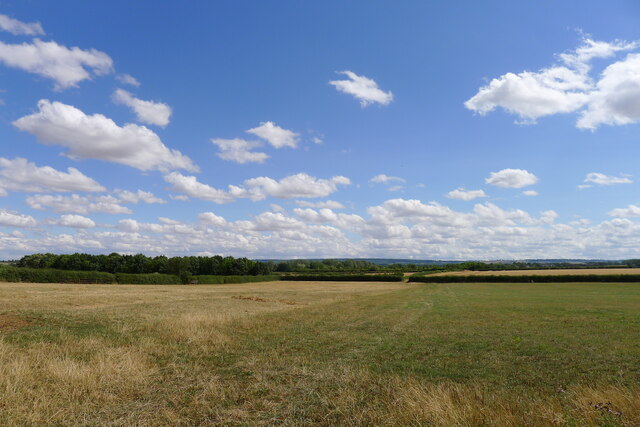
Middle Covert is a picturesque woodland area located in the county of Nottinghamshire, England. Situated within the larger Sherwood Forest, it covers an approximate area of 500 acres. The forest is characterized by its dense canopy of trees, predominantly consisting of oak, beech, and birch, creating a rich and diverse ecosystem.
As part of Sherwood Forest, Middle Covert holds historical significance as the legendary home of the world-renowned outlaw, Robin Hood. The forest has been a constant source of inspiration for countless tales and folklore, attracting visitors from all over the world who wish to experience its natural beauty and soak in its mythical ambiance.
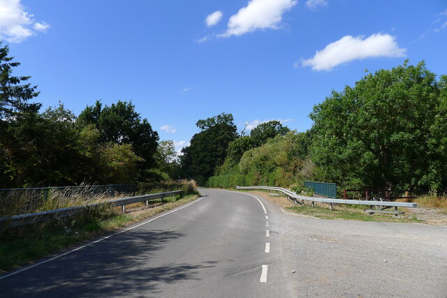
Middle Covert offers a tranquil and serene environment, making it a popular destination for nature enthusiasts and outdoor activities. The forest is crisscrossed by a network of well-maintained footpaths, allowing visitors to explore its hidden treasures and discover its abundant wildlife. Birdwatchers will delight in the sightings of various species, including woodpeckers, owls, and thrushes.
The forest also provides a habitat for a diverse range of plants and animals. Wildflowers such as bluebells and primroses adorn the forest floor during springtime, creating a vibrant and colorful display. Squirrels, foxes, and deer can often be spotted roaming freely within the woodland, further enhancing the enchanting atmosphere.
Middle Covert is managed by the Nottinghamshire County Council, ensuring its preservation for future generations. Regular conservation efforts are carried out to protect the forest's biodiversity and maintain its natural balance. The area is open to the public year-round, providing an idyllic setting for leisurely walks, picnics, and nature appreciation.
If you have any feedback on the listing, please let us know in the comments section below.
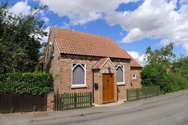
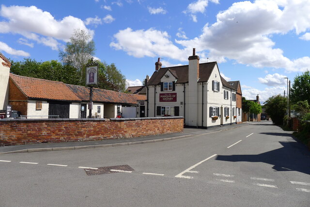
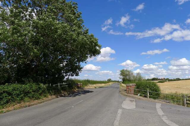
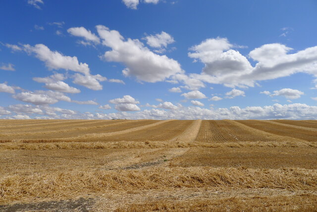
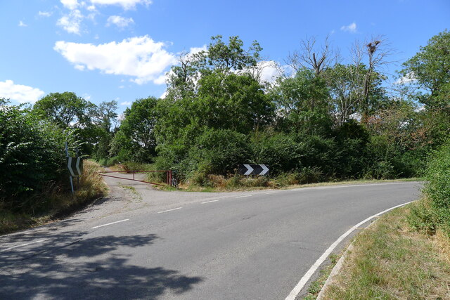
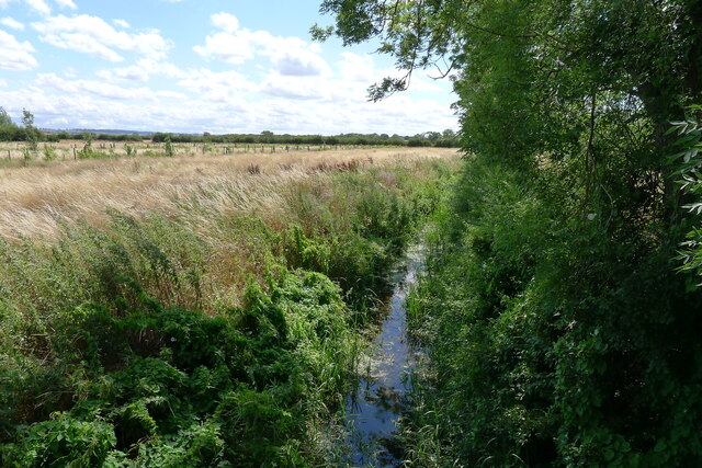
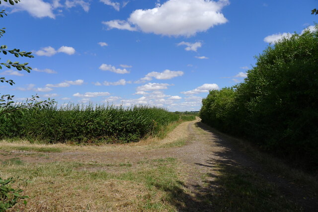
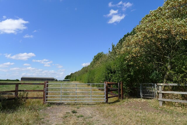
Middle Covert Images
Images are sourced within 2km of 52.931592/-0.89428988 or Grid Reference SK7437. Thanks to Geograph Open Source API. All images are credited.


Middle Covert is located at Grid Ref: SK7437 (Lat: 52.931592, Lng: -0.89428988)
Administrative County: Nottinghamshire
District: Rushcliffe
Police Authority: Nottinghamshire
What 3 Words
///contained.brings.political. Near Aslockton, Nottinghamshire
Nearby Locations
Related Wikis

Sutton-cum-Granby
Sutton-cum-Granby (also known as Sutton or Sutton in the Vale) is a hamlet in the Borough of Rushcliffe in Nottinghamshire, England. It lies in the Vale...

Barnstone railway station
Barnstone railway station was a railway station serving the villages of Barnstone, Granby and Langar, Nottinghamshire, on the Great Northern and London...
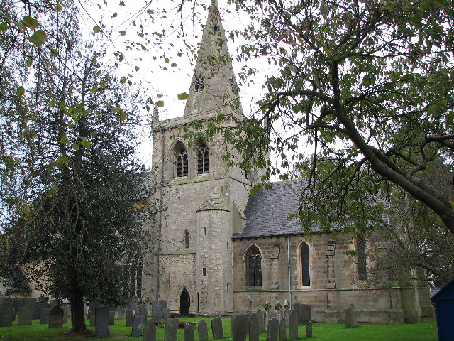
Church of St John of Beverley, Whatton
The Church of St John of Beverley, Whatton is a parish church in the Church of England in Whatton-in-the-Vale, Nottinghamshire, dedicated to St John of...
Whatton-in-the-Vale
Whatton-in-the-Vale is an English village in the Nottinghamshire borough of Rushcliffe. It lies in the Vale of Belvoir, with the River Smite to the west...
Aslockton
Aslockton is an English village and civil parish 12 miles (19.3 km) east of Nottingham and two miles (3.2 km) east of Bingham, on the north bank of the...
HM Prison Whatton
HM Prison Whatton is a Category C men's prison, located in the village of Whatton, near Bingham in Nottinghamshire, England. The prison is operated by...

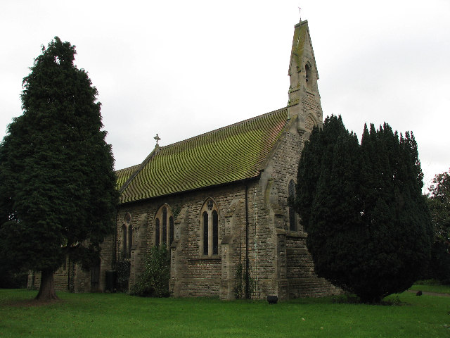
St Mary's Church, Barnstone
St Mary's Church, Barnstone is a parish church in the Diocese of Southwell and Nottingham of the Church of England, situated in Barnstone, Nottinghamshire...
Aslockton railway station
Aslockton railway station serves the English villages of Aslockton and Whatton-in-the-Vale in Nottinghamshire. It also draws passengers from other nearby...
Nearby Amenities
Located within 500m of 52.931592,-0.89428988Have you been to Middle Covert?
Leave your review of Middle Covert below (or comments, questions and feedback).