Netherclifts Copse
Wood, Forest in Hampshire Hart
England
Netherclifts Copse
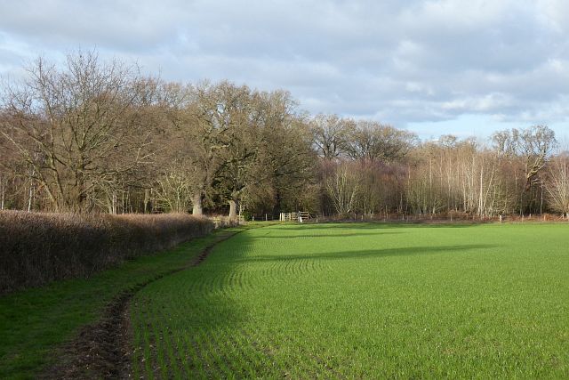
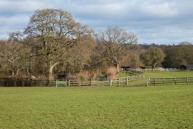
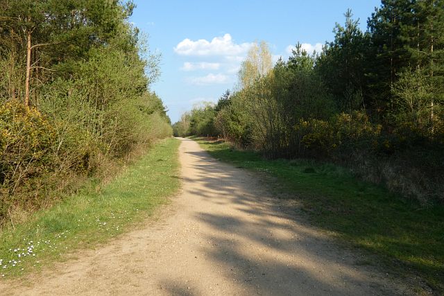
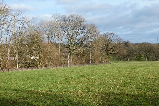
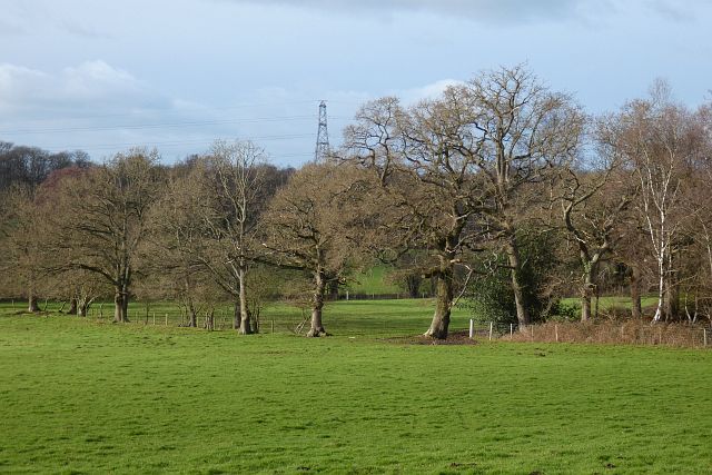
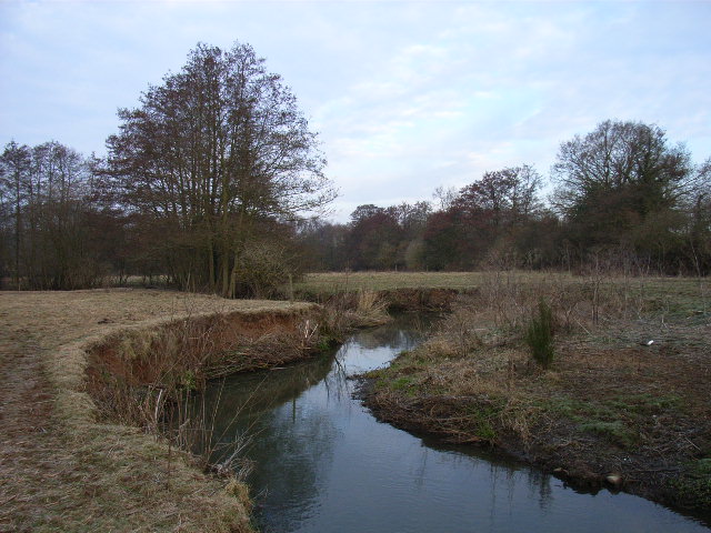
Nestled in the picturesque county of Hampshire, Netherclifts Copse is a charming wood located near the village of Netherclifts. Spanning an area of approximately 50 acres, this enchanting forest is a haven for nature lovers and outdoor enthusiasts alike.
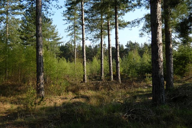
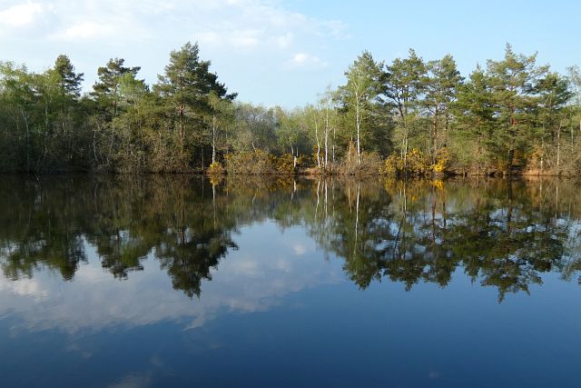
The copse is predominantly composed of deciduous trees, with a diverse range of species such as oak, beech, and birch creating a vibrant and lush canopy. This creates a stunning display of colors during the autumn months, attracting visitors from far and wide to witness the breathtaking scenery.
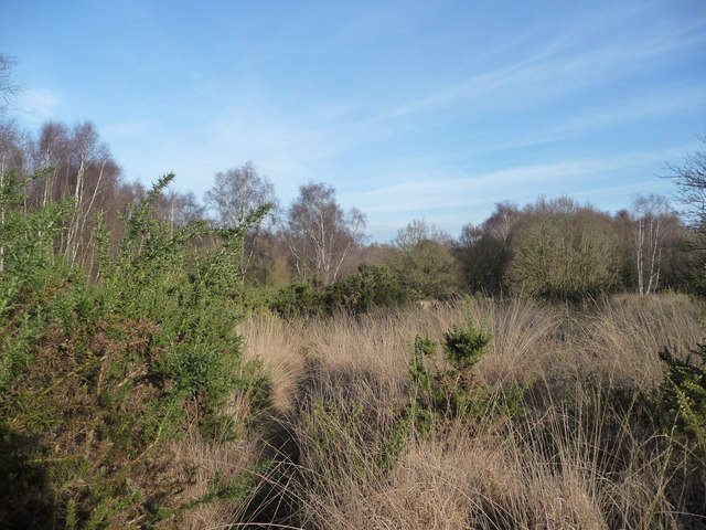
Tranquility pervades the air as one ventures deeper into the copse, with the sounds of chirping birds and rustling leaves providing a soothing soundtrack to the experience. The forest floor is covered in a carpet of moss and ferns, while bluebells and daffodils bloom in abundance during the spring, adding a touch of beauty to the woodland.
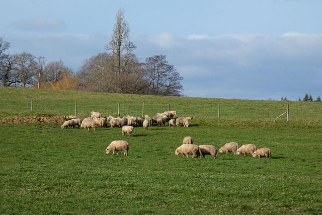
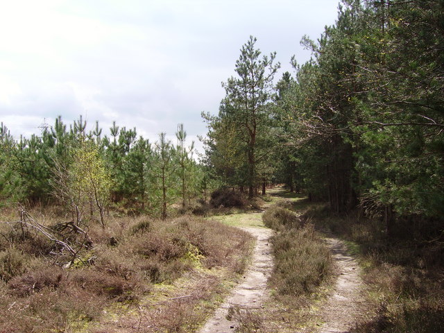
Walking trails wind their way through the copse, offering visitors the opportunity to explore its hidden treasures. Along these paths, one may encounter a variety of wildlife, including deer, foxes, and a plethora of bird species. Nature enthusiasts can indulge in birdwatching or simply take a moment to appreciate the peaceful surroundings.
Netherclifts Copse is a popular destination for outdoor activities, with many visitors enjoying picnics, photography, and even camping in designated areas. The copse also serves as an educational resource, with schools and environmental groups frequently organizing guided tours to teach children about the importance of forests and their ecosystems.
Overall, Netherclifts Copse is a stunning example of Hampshire's natural beauty, providing a serene escape for those seeking solace in the embrace of nature.
If you have any feedback on the listing, please let us know in the comments section below.
Netherclifts Copse Images
Images are sourced within 2km of 51.336503/-0.92669654 or Grid Reference SU7460. Thanks to Geograph Open Source API. All images are credited.


Netherclifts Copse is located at Grid Ref: SU7460 (Lat: 51.336503, Lng: -0.92669654)
Administrative County: Hampshire
District: Hart
Police Authority: Hampshire
What 3 Words
///handyman.metals.roosters. Near Eversley, Hampshire
Nearby Locations
Related Wikis

Hazeley
Hazeley is a village in the Hart District in Hampshire, England. It is 2.5 miles (3 km) away from Hartley Wintney and comes under the parish of Mattingley...
River Hart
The River Hart is a tributary of the River Whitewater in north Hampshire, England. It rises at Ashley Head spring in Crondall and flows north to meet the...
Bramshill
Bramshill is a civil parish in the English county of Hampshire. Its name has become synonymous with the Police Staff College, Bramshill located in Bramshill...

Police Staff College, Bramshill
The Police Staff College, Bramshill, Bramshill House, Bramshill, (near Hook) Hampshire, England, was until 2015 the principal police staff training establishment...
Bramshill House
Bramshill House, in Bramshill, northeast Hampshire, England, is one of the largest and most important Jacobean prodigy house mansions in England. It was...
Bramshill SSSI
Bramshill is a 673.3-hectare (1,664-acre) biological Site of Special Scientific Interest near Bramshill, northeast of Basingstoke in Hampshire. It is part...

Heckfield Place
A country estate of 438 acres, the heart of Heckfield Place is a Georgian Grade II listed manor house, located in Hampshire, United Kingdom. It was built...
Hazeley Heath
Hazeley Heath is a 180.8-hectare (447-acre) biological Site of Special Scientific Interest west of Farnborough in Hampshire. It is part of Thames Basin...
Nearby Amenities
Located within 500m of 51.336503,-0.92669654Have you been to Netherclifts Copse?
Leave your review of Netherclifts Copse below (or comments, questions and feedback).