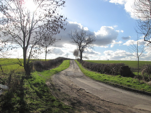
Ash Holt
Wood, Forest in Nottinghamshire Bassetlaw
England
Ash Holt
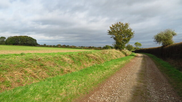
Ash Holt is a small village located in the county of Nottinghamshire, England. Situated in the heart of Sherwood Forest, it is known for its picturesque surroundings and natural beauty. The village is nestled amidst dense woodlands, giving it a tranquil and serene atmosphere.
The name "Ash Holt" is derived from the Old English word "holt," meaning a small wood or forest, which perfectly captures the essence of the village. The area is predominantly covered by ancient oak trees, providing a haven for wildlife and making it a popular destination for nature enthusiasts.
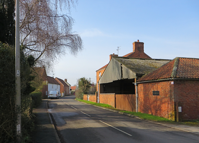
The village itself is charming, with a small population of around 200 residents. It is characterized by traditional stone cottages and well-maintained gardens, creating a quaint and idyllic setting. The community is close-knit, with a strong sense of community spirit evident in the local events and gatherings.
Ash Holt offers a range of recreational activities for residents and visitors alike. The surrounding woodlands provide ample opportunities for walking, hiking, and birdwatching. There are also designated cycling trails for those who prefer to explore on two wheels. Additionally, the village is home to several ancient landmarks, including Ash Holt Castle, which dates back to the 12th century.
The village has limited amenities, with a small convenience store and a cozy pub serving as the main hubs for locals. However, the nearby town of Nottingham is just a short drive away, offering a wider range of services and facilities.
Overall, Ash Holt is a charming and peaceful village that offers a true escape from the hustle and bustle of modern life. Its natural beauty, community spirit, and rich history make it a delightful place to visit or call home.
If you have any feedback on the listing, please let us know in the comments section below.
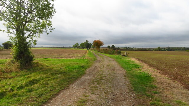
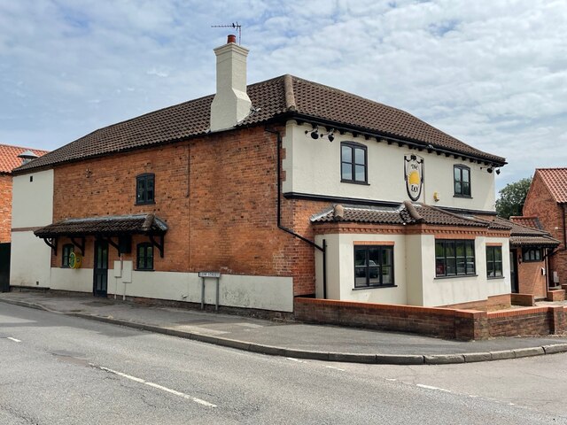
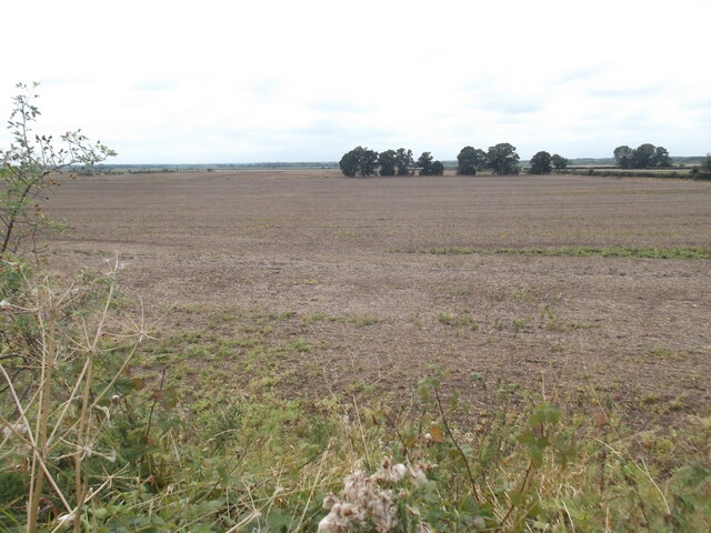
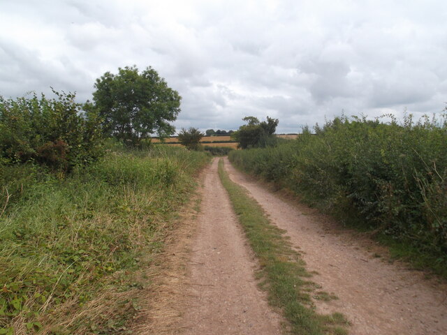
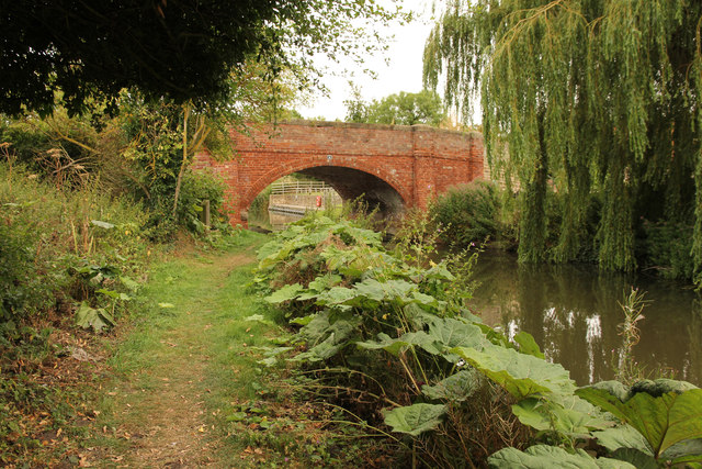
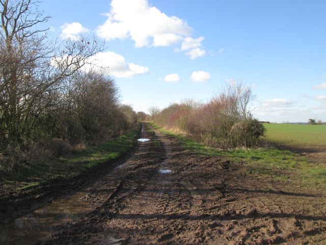
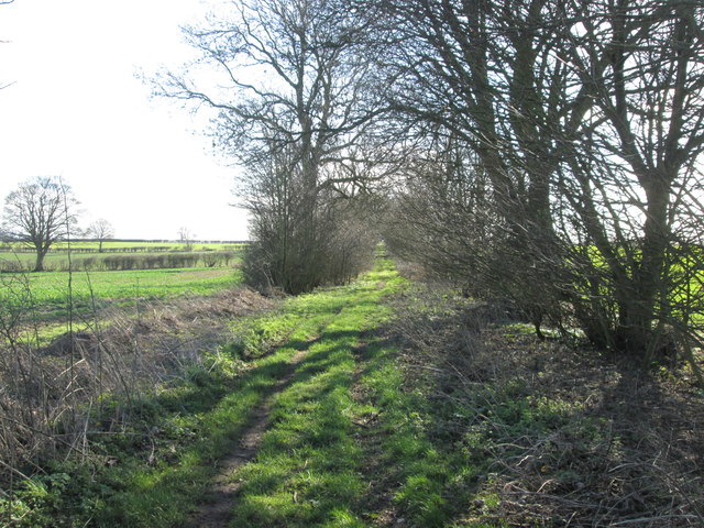
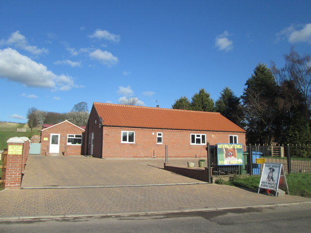
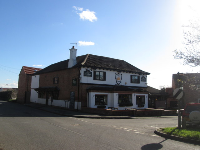
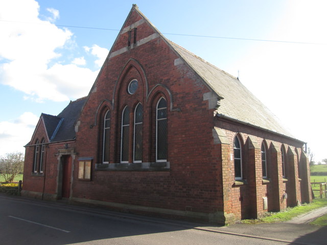
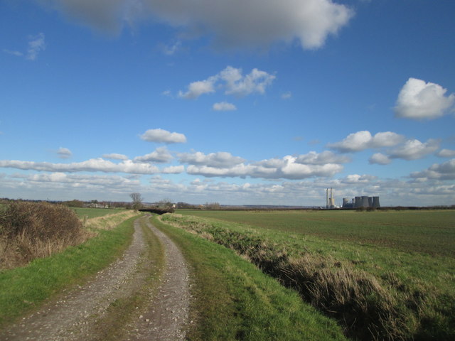
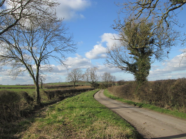
Ash Holt Images
Images are sourced within 2km of 53.364945/-0.88662041 or Grid Reference SK7485. Thanks to Geograph Open Source API. All images are credited.
Ash Holt is located at Grid Ref: SK7485 (Lat: 53.364945, Lng: -0.88662041)
Administrative County: Nottinghamshire
District: Bassetlaw
Police Authority: Nottinghamshire
What 3 Words
///prongs.available.bumps. Near Clarborough, Nottinghamshire
Nearby Locations
Related Wikis
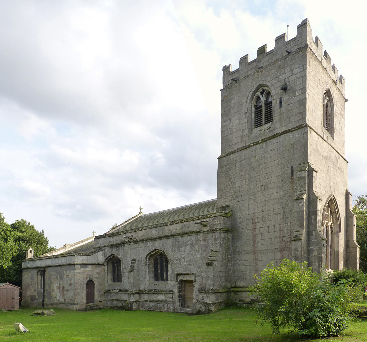
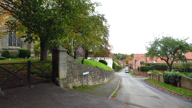
St Peter and St Paul's Church, North Wheatley
St Peter and St Paul's Church is a Grade II* listed parish church in the Church of England in North Wheatley. == History and description == The church...
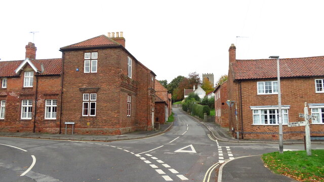
North Wheatley
North Wheatley is a village and former civil parish, now in the parish of North and South Wheatley, in Bassetlaw district, in the county of Nottinghamshire...
North and South Wheatley
North and South Wheatley is a civil parish in the Bassetlaw district, in the county of Nottinghamshire, England. The parish includes the villages of North...

South Wheatley, Nottinghamshire
South Wheatley is a village and former civil parish, now within the North and South Wheatley civil parish, of Bassetlaw district, in the county of Nottinghamshire...

St Peter's Church, Hayton
St Peter's Church, Hayton is a Grade I listed parish church in the Church of England in Hayton, Nottinghamshire. == History == The church dates from the...

Clayworth
Clayworth is a village and civil parish in Nottinghamshire, England. At the time of the 2001 census it had a population of 319, increasing to 419 at the...

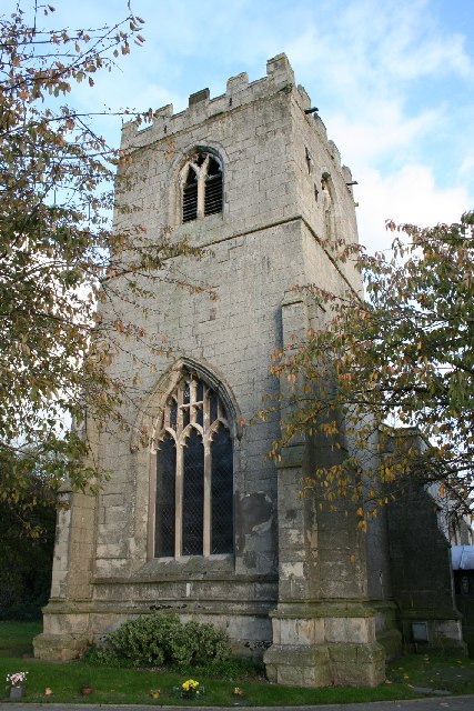
St John the Baptist Church, Clarborough
St John the Baptist's Church is a Grade I listed Church of England parish church in Clarborough, Nottinghamshire, England. == History == The church dates...

East Retford Rural District
East Retford was a rural district in Nottinghamshire, England from 1894 to 1974. It was formed under the Local Government Act 1894 from East Retford rural...
Related Videos
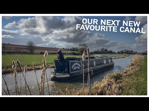
275 - Another New Favourite Canal
This video was filmed on 20th March 2020. We travel from Clayworth to Clarborough on the Chesterfield Canal and it is officially ...

HAYTON: Bassetlaw Parish #52 of 66
Here's a small village located 4 miles north-east of Retford, sitting with its eastern back to Hollins Hill which, at 223 feet, is the ...

360 - I Put My Camera in The Chesterfield Canal And This is What I Saw | Narrowboat Cruise
Today we're actually blessed with some sunshine, although there are heavy showers in the air. We head through another lovely ...

Nearby Amenities
Located within 500m of 53.364945,-0.88662041Have you been to Ash Holt?
Leave your review of Ash Holt below (or comments, questions and feedback).