Redmoor Copse
Wood, Forest in Northamptonshire
England
Redmoor Copse
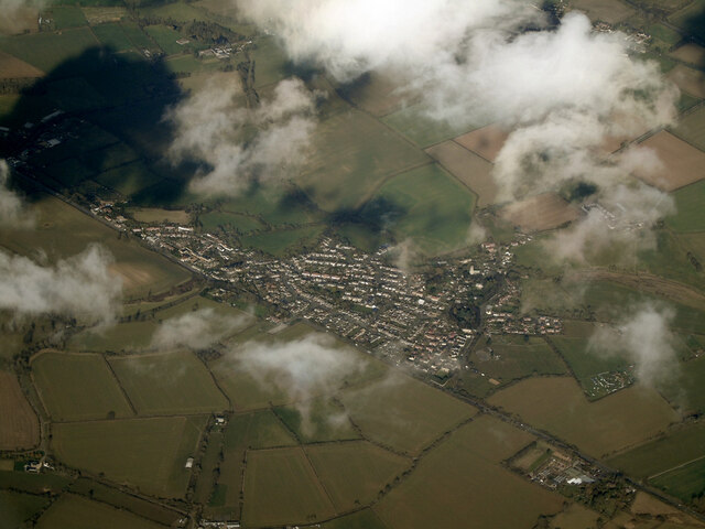
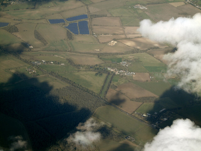
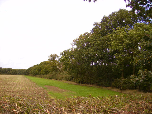
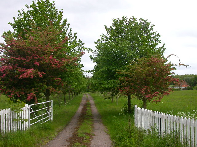
Redmoor Copse, located in the county of Northamptonshire, is a charming woodland area that covers a vast expanse of approximately 50 acres. This picturesque forest is nestled in the heart of the English countryside, offering visitors a tranquil and serene environment to explore.
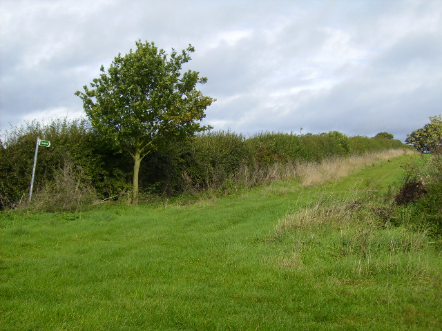
The copse is primarily composed of native broadleaf trees such as oak, beech, and ash, which provide a rich and diverse habitat for various flora and fauna. The forest floor is adorned with a carpet of wildflowers, creating a vibrant and colorful setting during the spring and summer months.
Redmoor Copse is a popular destination for nature lovers, hikers, and birdwatchers. The forest is home to a wide range of bird species, including song thrushes, woodpeckers, and tawny owls, making it an ideal spot for birdwatching enthusiasts. The peaceful atmosphere and abundance of wildlife make it a perfect location for nature photography as well.
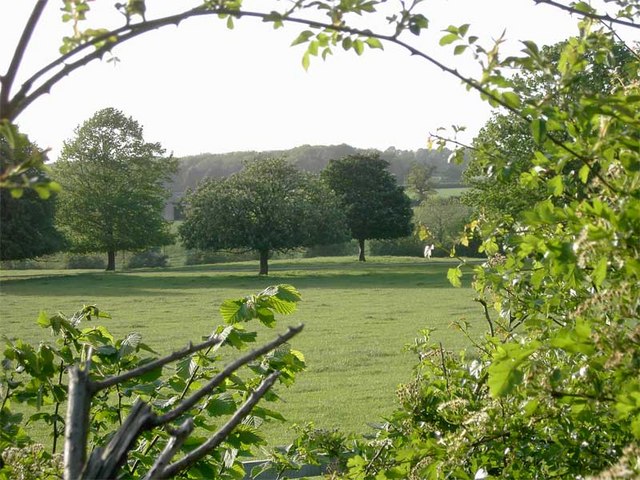
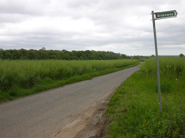
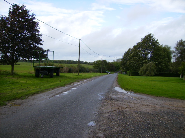
Several well-maintained walking trails wind through the copse, allowing visitors to explore the forest at their own pace. These trails provide access to various points of interest, including a picturesque pond and a small stream that meanders through the woodland.
The copse is well-preserved and carefully managed by local authorities, ensuring the protection of its natural beauty and biodiversity. With its tranquil ambiance, diverse wildlife, and stunning scenery, Redmoor Copse offers a haven of peace and tranquility for those seeking to escape the hustle and bustle of everyday life.
If you have any feedback on the listing, please let us know in the comments section below.
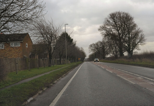
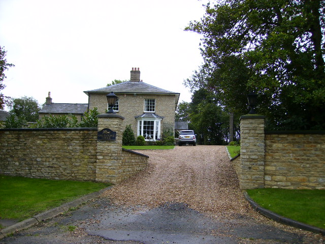
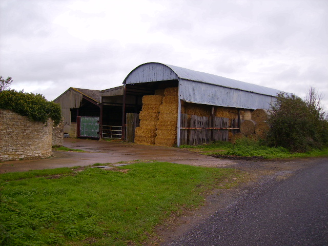
Redmoor Copse Images
Images are sourced within 2km of 52.073096/-0.9188144 or Grid Reference SP7442. Thanks to Geograph Open Source API. All images are credited.


Redmoor Copse is located at Grid Ref: SP7442 (Lat: 52.073096, Lng: -0.9188144)
Unitary Authority: West Northamptonshire
Police Authority: Northamptonshire
What 3 Words
///claw.swoop.domestic. Near Potterspury, Northamptonshire
Nearby Locations
Related Wikis
Puxley
Puxley is a hamlet in the West Northamptonshire civil parish of Deanshanger. England. It is 6 miles (10 km) west of Milton Keynes
St Mary's Church, Kersey
St Mary's Church is a Grade I listed parish church in the Church of England in Kersey, Suffolk. == The Shrine at St Mary's == In Medieval times St Mary...

Potterspury
Potterspury is a populous village and civil parish in West Northamptonshire, England. The nearest main town is Milton Keynes, the centre of which is about...

Whittlewood Forest
Whittlewood Forest is a former medieval hunting forest east of Silverstone in Northamptonshire in England. It is managed by the Forestry England. There...

Potterspury Lodge School
Potterspury Lodge School is a Cambian Group school in Northamptonshire, England. It is an Independent School that caters to children with ASD [autism spectrum...
Wicken, Northamptonshire
Wicken is a village and civil parish in the English county of Northamptonshire. It is about one mile north of the A422 road between Milton Keynes and Buckingham...
Moor End Castle
The site of Moor End Castle (historically known as Moreende) is situated opposite Moor End Farm, along Moor End Road in the civil parish of Yardley Gobion...
Wyke Hamon
Wyke Hamon is a manor in Wicken, Northamptonshire, England. In the early 16th century it was owned by John Spencer of the prominent Spencer family of aristocrats...
Related Videos

bolt & popeye dog walking field
Recorded at the Deanshanger dog walking field. Popeye (ginger) & bolt (brindle) was rescuded by http://animals-in-need.org/ We ...

bolt dog walking field1
Recorded at the Deanshanger dog walking field. Popeye (ginger) & bolt (brindle) was rescuded by http://animals-in-need.org/ ...

Tears of Joy! Bride Serenades Groom! Loving This Moment!
Tears of Joy! Bride Serenades Groom! Loving This Moment! The Wedding of Amy & Tom at St Nicholas Church Pottersbury ...

New at Vitreus Art Gallery - Becky Crawford Wire Sculpture - Juggler
New at Vitreus Art Gallery UK, these new wire sculptures are charming and affordable..... Vitreus Art Gallery is at Bell Plantation, ...
Nearby Amenities
Located within 500m of 52.073096,-0.9188144Have you been to Redmoor Copse?
Leave your review of Redmoor Copse below (or comments, questions and feedback).