Cannon's Copse

Wood, Forest in Hampshire East Hampshire

England

Cannon's Copse

Making use of that extra hour (1) London Road
Making use of that extra hour (1) Credit: Basher Eyre

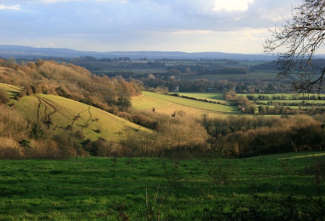
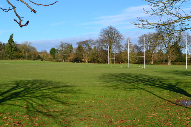
Cannon's Copse is a picturesque woodland located in Hampshire, England. Stretching over an area of approximately 100 acres, it is known for its lush greenery, diverse wildlife, and tranquil atmosphere. The copse is situated near the small village of Bramdean, nestled in the heart of the South Downs National Park.

The woodland is primarily composed of deciduous trees, including oak, beech, and ash, which create a stunning canopy during the summer months. These trees provide ample shade and shelter for the copse's abundant flora and fauna. Bluebells, wild garlic, and wood anemones carpet the forest floor in the spring, adding a vibrant burst of color to the landscape.

Cannon's Copse is a haven for wildlife enthusiasts, with numerous species calling it home. The copse is particularly renowned for its birdlife, including woodpeckers, owls, and various songbirds. Squirrels and deer can also be spotted roaming among the trees, adding to the copse's natural charm.

The woodland offers a range of walking trails, allowing visitors to explore its beauty at their own pace. These paths wind through the forest, offering breathtaking views of the surrounding countryside and providing an opportunity for peaceful contemplation. The copse is also a popular spot for picnics and family outings, with designated areas available for visitors to relax and enjoy the serenity of nature.

Overall, Cannon's Copse in Hampshire is a captivating woodland that offers a tranquil escape from the hustle and bustle of everyday life. Its natural beauty, diverse wildlife, and peaceful ambiance make it a must-visit destination for nature lovers and those seeking a refreshing outdoor experience.

If you have any feedback on the listing, please let us know in the comments section below.

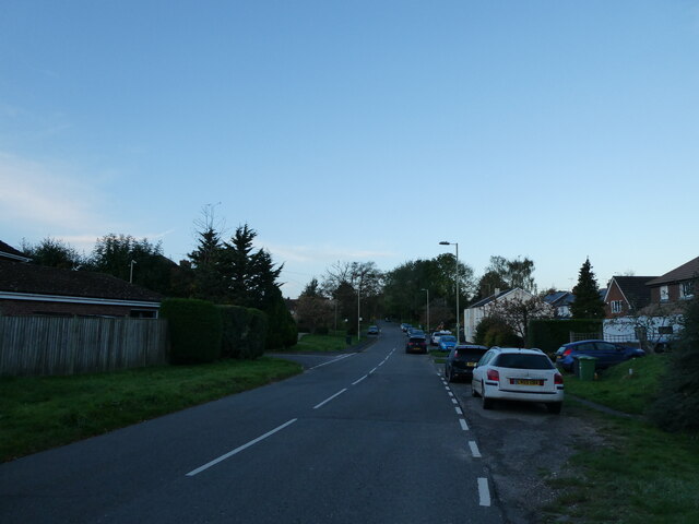
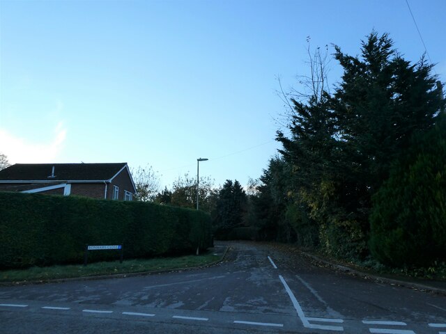
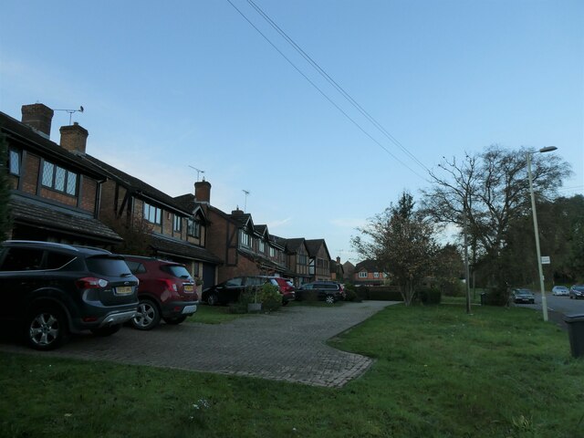
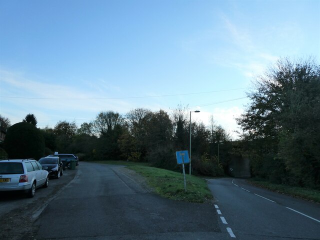
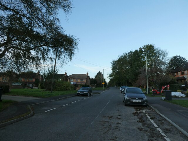
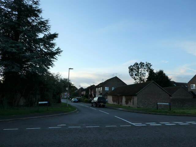
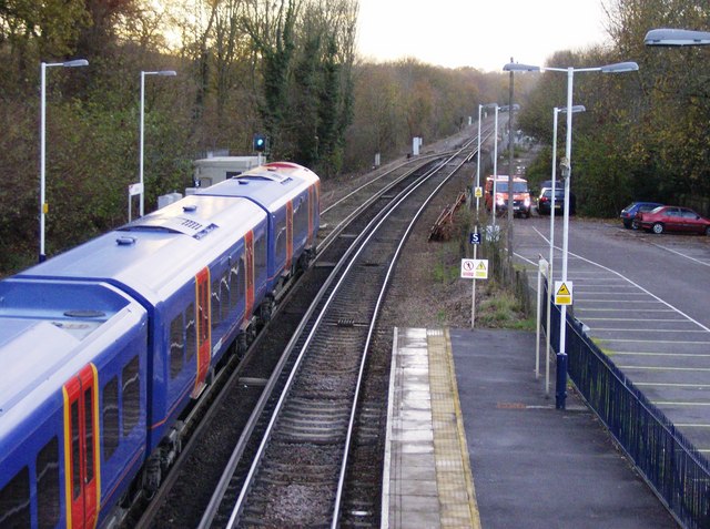
Cannon's Copse Images

Images are sourced within 2km of 51.169408/-0.94033411 or Grid Reference SU7441. Thanks to Geograph Open Source API. All images are credited.

Making use of that extra hour (1) London Road
Making use of that extra hour (1)
London Road
Making use of that extra hour (2) Looking from London Road into Bonhams Close
Making use of that extra hour (2)
Looking from London Road into Bonhams Close
Making use of that extra hour (3) Houses in London Road
Making use of that extra hour (3)
Houses in London Road
Making use of that extra hour (4) Downs View
Making use of that extra hour (4)
Downs View
Making use of that extra hour (5) Holybourne Sports Field
Making use of that extra hour (5)
Holybourne Sports Field
Making use of that extra hour (6) Looking along Bonham Close towards London Road
Making use of that extra hour (6)
Looking along Bonham Close towards London Road
Making use of that extra hour (7) Eastern end of London Road
Making use of that extra hour (7)
Eastern end of London Road
Making use of that extra hour (8) Looking west-southwest in London Road
Making use of that extra hour (8)
Looking west-southwest in London Road
Making use of that extra hour (9) Cottages in London Road
Making use of that extra hour (9)
Cottages in London Road
Making use of that extra hour (10) Approaching the junction of Downs View and London Road
Making use of that extra hour (10)
Approaching the junction of Downs View and London Road
Making use of that extra hour (11) Looking from London Road into Downs View
Making use of that extra hour (11)
Looking from London Road into Downs View
Making use of that extra hour (12) Looking from Downs View out into London Road
Making use of that extra hour (12)
Looking from Downs View out into London Road
Making use of that extra hour (13) Looking west-southwest in London Road
Making use of that extra hour (13)
Looking west-southwest in London Road
Making use of that extra hour (14) Spur in London Road
Making use of that extra hour (14)
Spur in London Road
Making use of that extra hour (15) Looking from London Road into Vindomis Close
Making use of that extra hour (15)
Looking from London Road into Vindomis Close
Making use of that extra hour (16) London Road- looking westwards from junction with Vindomis Close
Making use of that extra hour (16)
London Road- looking westwards from junction with Vindomis Close
Making use of that extra hour (17) Footpath from London Road to Peakham Copse
Making use of that extra hour (17)
Footpath from London Road to Peakham Copse
Making use of that extra hour (18) London Road- looking eastwards from junction with Vindomis Close
Making use of that extra hour (18)
London Road- looking eastwards from junction with Vindomis Close
Show me another place!

Cannon's Copse is located at Grid Ref: SU7441 (Lat: 51.169408, Lng: -0.94033411)

Administrative County: Hampshire

District: East Hampshire

Police Authority: Hampshire

What 3 Words

///squabbles.rephrase.hulk. Near Alton, Hampshire

Related Wikis

Holybourne Freight railway station

Holybourne Freight railway station is where freight trains serving Holybourne Oil Terminal terminate. These freight trains ran daily from Bentley and Alton...

Neatham

Neatham is a Roman hamlet, an ancient hundred and a former civil parish, now in the parish of Alton, in the East Hampshire district of Hampshire, England...

Holybourne

Holybourne is a village in the East Hampshire district of Hampshire, England. It is 1.3 miles (2.2 km) northeast of the centre of Alton, is contiguous...

Treloar School

Treloar School and College is a non-maintained residential and day special school and college for disabled children and young people aged from 2 to 25...

Eggar's School

Eggar's School is a co-educational secondary school with academy status, located in the town of Alton, Hampshire, England. == Founding and history == In...

Alton line

The Alton line is a railway line in Hampshire and Surrey, England, operated by South Western Railway as a relatively long branch of the South West Main...

Municipal Ground

The Municipal Ground (also known as Anstey Park) was a cricket ground in Alton, Hampshire. The ground was constructed as a result of the efforts of G.J...

Alton School

Alton School is an independent Catholic day school on the outskirts of Alton, Hampshire for boys and girls from 6 months to 18 years. It has approximately...

Nearby Amenities

Located within 500m of 51.169408,-0.94033411
Bus Stop
Bonhams Close
Bench: no
Bin: no
Naptan AtcoCode: 1900HA020383
Naptan Bearing: W
Naptan CommonName: Bonhams Close
Naptan Crossing: Downs View
Naptan NaptanCode: hamgpjma
Naptan Street: London Road
Naptan Verified: no
Shelter: no
Source: naptan_import
Lat/Long: 51.1656337/-0.9417712
Bus Stop
Bonhams Close
Bench: no
Naptan AtcoCode: 1900HA020384
Naptan Bearing: E
Naptan CommonName: Bonhams Close
Naptan Crossing: Downs View
Naptan NaptanCode: hamgpjgw
Naptan Street: London Road
Naptan Verified: no
Shelter: no
Source: naptan_import
Lat/Long: 51.1656877/-0.9417842
Bus Stop
Cuckoos Corner
Naptan AtcoCode: 1900HA020387
Naptan Bearing: NE
Naptan CommonName: Cuckoos Corner
Naptan NaptanCode: hamgpjwa
Naptan Street: A31 Alton Road
Naptan Verified: no
Source: naptan_import
Lat/Long: 51.1660352/-0.9394449
Bus Stop
Cuckoos Corner
Naptan AtcoCode: 1900HA020388
Naptan Bearing: SW
Naptan CommonName: Cuckoos Corner
Naptan NaptanCode: hamgpjwt
Naptan Street: A31 Alton Road
Naptan Verified: no
Shelter: yes
Source: naptan_import
Lat/Long: 51.1660493/-0.9390155
Power: tower
Source: bing
Lat/Long: 51.1685084/-0.9348237
Power: tower
Source: bing
Lat/Long: 51.1665053/-0.9357887
Power: tower
Source: bing
Lat/Long: 51.169941/-0.9342246
Railway: switch
Lat/Long: 51.1672757/-0.9344564
Railway: switch
Lat/Long: 51.1671526/-0.9349935
Cuckoo's Corner
Place: locality
Source: Bing
Lat/Long: 51.1659015/-0.940841
Bonham's Farm
Place: farm
Source: Bing
Wikidata: Q17532975
Lat/Long: 51.1707917/-0.9382612
Direction: 165
Generator Method: photovoltaic
Generator Output Electricity: yes
Generator Solar Modules: 8
Generator Source: solar
Generator Type: solar_photovoltaic_panel
Location: roof
Power: generator
Lat/Long: 51.1659445/-0.9414178
Railway: switch
Lat/Long: 51.1672131/-0.9347295
The data included in this document is from www.openstreetmap.org. The data is made available under ODbL.

Have you been to Cannon's Copse?

Leave your review of Cannon's Copse below (or comments, questions and feedback).