Water Goit Plantation
Wood, Forest in Nottinghamshire Bassetlaw
England
Water Goit Plantation
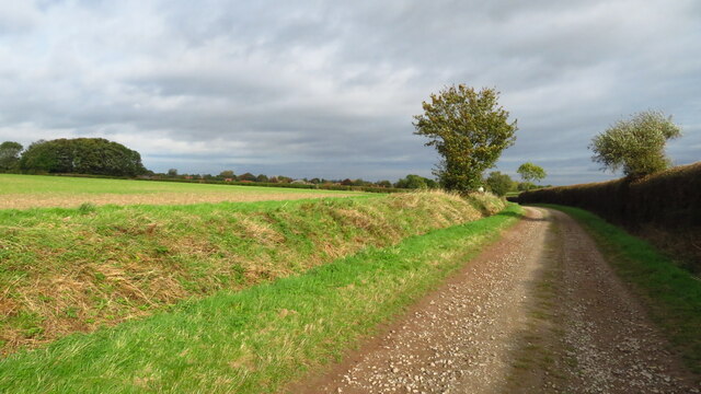
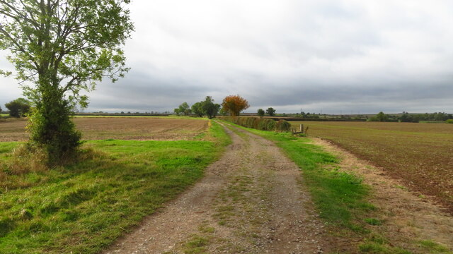
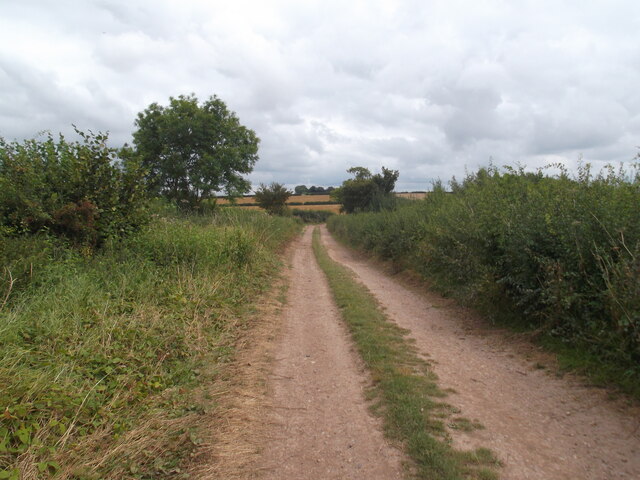
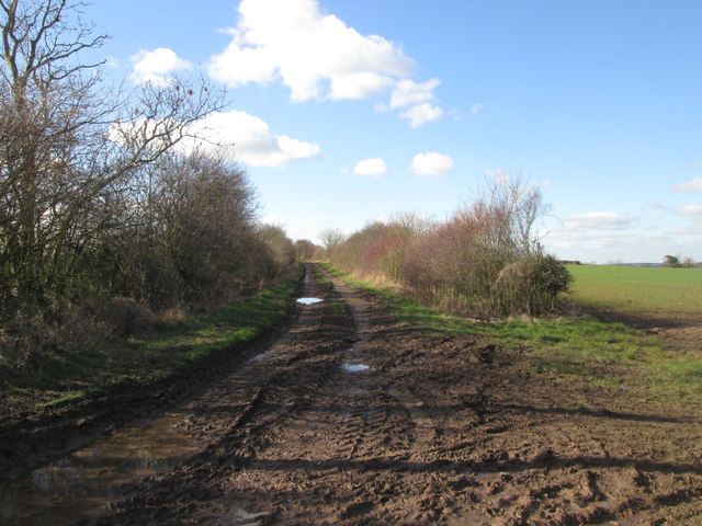
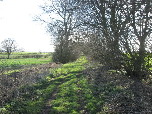
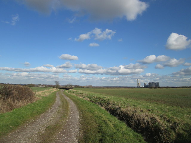
Water Goit Plantation is a picturesque woodland located in Nottinghamshire, England. Situated within the larger Sherwood Forest area, this plantation covers an expansive area of lush greenery, providing a serene and tranquil environment for both locals and visitors alike.
The plantation is predominantly composed of a variety of deciduous trees, including oak, birch, and beech, which create a diverse and vibrant ecosystem. The tall and majestic trees provide ample shade during the summer months, making it an ideal spot for picnics and leisurely walks.
One of the key features of Water Goit Plantation is the presence of a small stream, known as the "goit," which runs through the woodland. This stream adds to the charm of the plantation, offering a soothing sound and creating an enchanting atmosphere. The goit is also home to various species of aquatic life, such as small fish and frogs, contributing to the plantation's rich biodiversity.
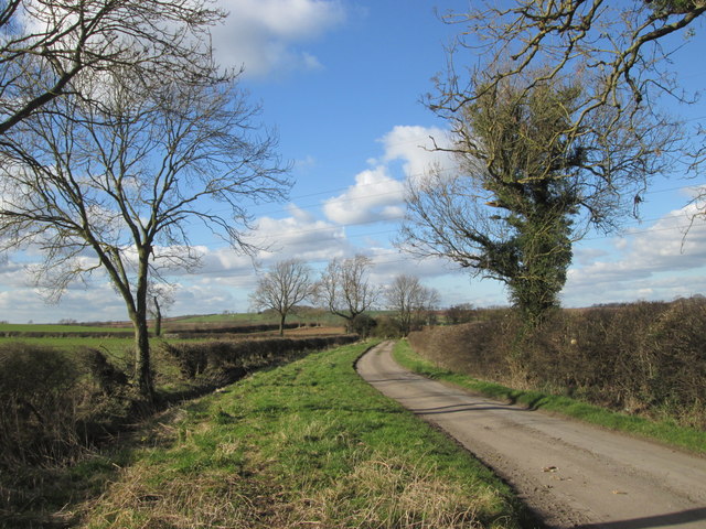
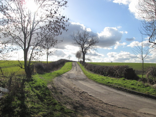
The plantation is well-maintained and offers a network of well-marked trails, making it popular among hikers, nature enthusiasts, and dog walkers. Additionally, there are benches strategically placed throughout the woodland, providing visitors with the opportunity to rest and admire the natural beauty that surrounds them.
Water Goit Plantation is open to the public year-round and is free to access. It serves as a peaceful retreat from the hustle and bustle of everyday life, allowing visitors to reconnect with nature and enjoy the serenity of the woodland. Whether it's a leisurely stroll, a family outing, or a chance to observe wildlife, Water Goit Plantation offers a delightful experience for all.
If you have any feedback on the listing, please let us know in the comments section below.
Water Goit Plantation Images
Images are sourced within 2km of 53.364917/-0.87978331 or Grid Reference SK7485. Thanks to Geograph Open Source API. All images are credited.


Water Goit Plantation is located at Grid Ref: SK7485 (Lat: 53.364917, Lng: -0.87978331)
Administrative County: Nottinghamshire
District: Bassetlaw
Police Authority: Nottinghamshire
What 3 Words
///trackers.regarding.really. Near Clarborough, Nottinghamshire
Nearby Locations
Related Wikis
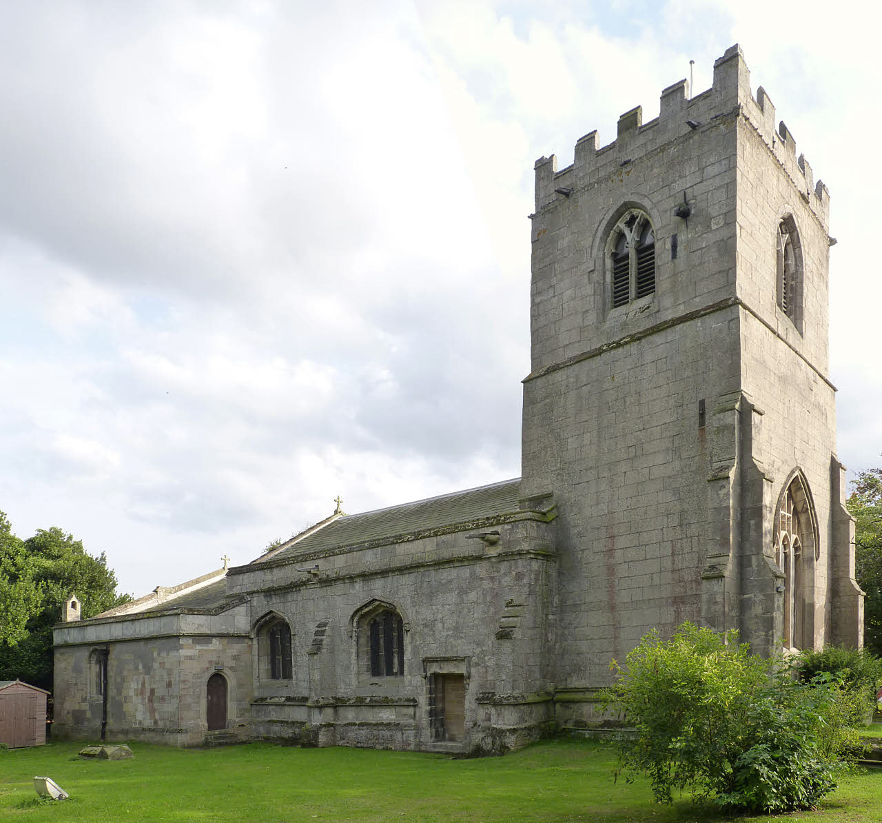
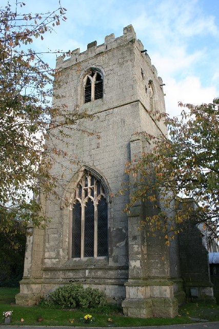
St Peter and St Paul's Church, North Wheatley
St Peter and St Paul's Church is a Grade II* listed parish church in the Church of England in North Wheatley. == History and description == The church...
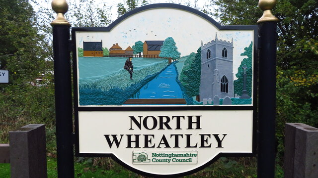
North Wheatley
North Wheatley is a village and former civil parish, now in the parish of North and South Wheatley, in Bassetlaw district, in the county of Nottinghamshire...
North and South Wheatley
North and South Wheatley is a civil parish in the Bassetlaw district, in the county of Nottinghamshire, England. The parish includes the villages of North...

South Wheatley, Nottinghamshire
South Wheatley is a village and former civil parish, now within the North and South Wheatley civil parish, of Bassetlaw district, in the county of Nottinghamshire...

St Peter's Church, Hayton
St Peter's Church, Hayton is a Grade I listed parish church in the Church of England in Hayton, Nottinghamshire. == History == The church dates from the...

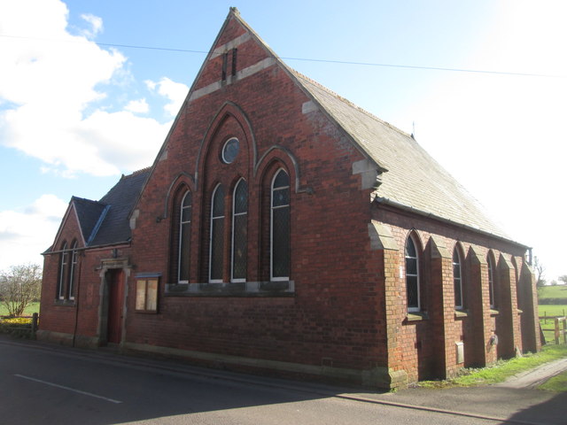
St John the Baptist Church, Clarborough
St John the Baptist's Church is a Grade I listed Church of England parish church in Clarborough, Nottinghamshire, England. == History == The church dates...

Clayworth
Clayworth is a village and civil parish in Nottinghamshire, England. At the time of the 2001 census it had a population of 319, increasing to 419 at the...

Clarborough
Clarborough is a village in the civil parish of Clarborough and Welham, in the district of Bassetlaw, Nottinghamshire, England. Clarborough is located...
Nearby Amenities
Located within 500m of 53.364917,-0.87978331Have you been to Water Goit Plantation?
Leave your review of Water Goit Plantation below (or comments, questions and feedback).