Haxby Plantation
Wood, Forest in Yorkshire
England
Haxby Plantation
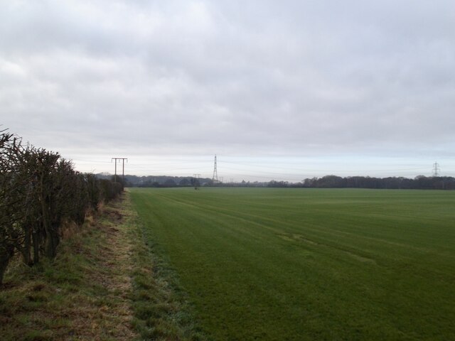
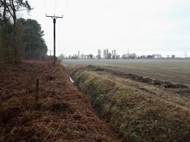
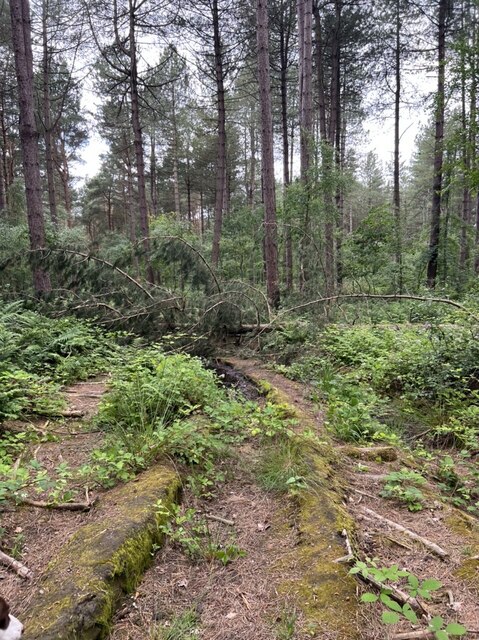
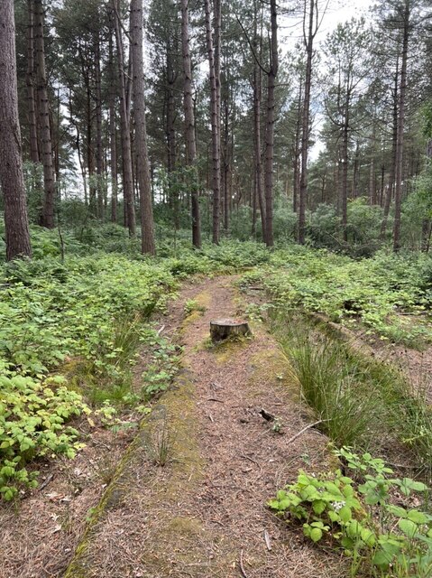
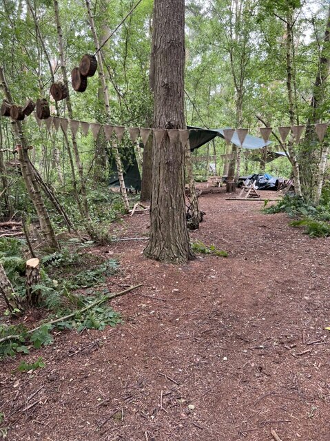
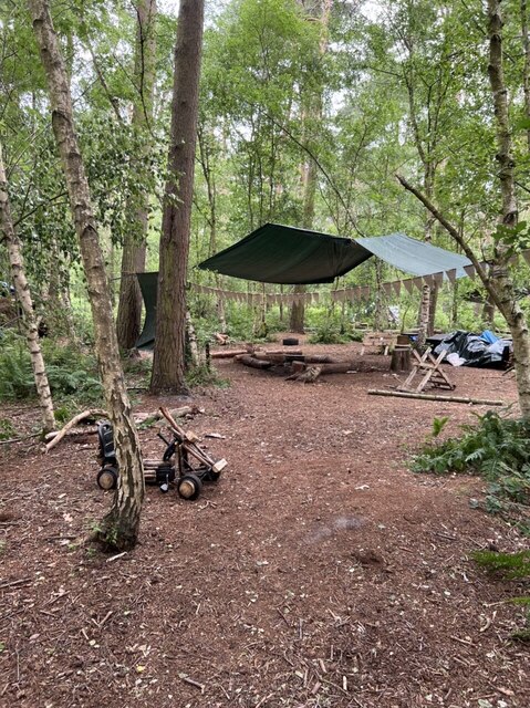
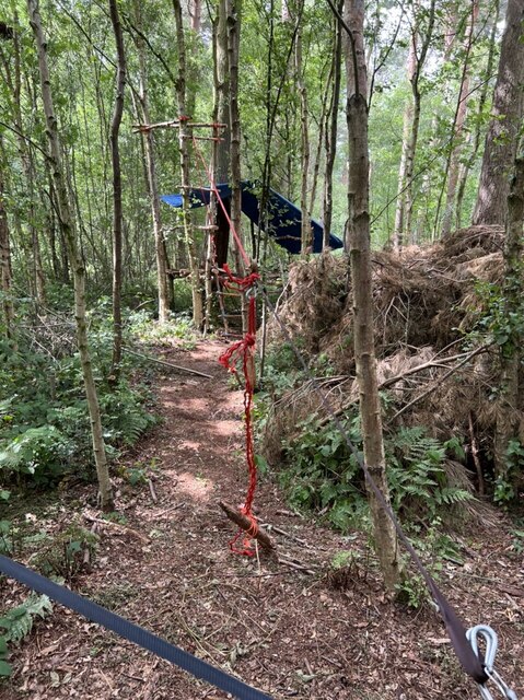
Haxby Plantation is a picturesque woodland located in Yorkshire, England. Situated near the village of Haxby, the plantation is a serene destination for nature enthusiasts and those seeking tranquility amidst lush greenery. Covering an area of approximately 100 acres, Haxby Plantation possesses a diverse range of flora and fauna, making it a haven for wildlife.
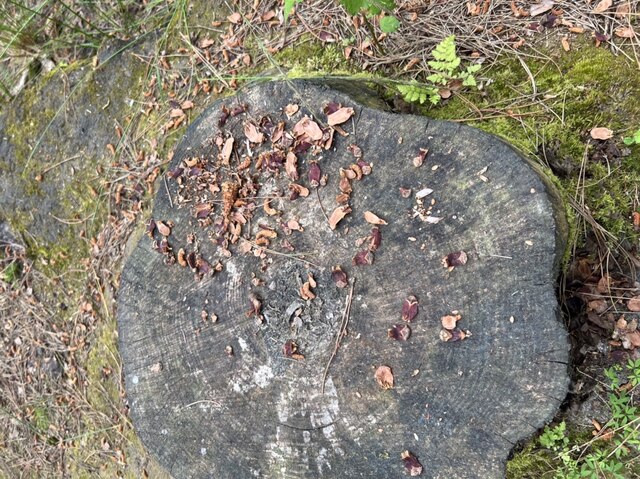
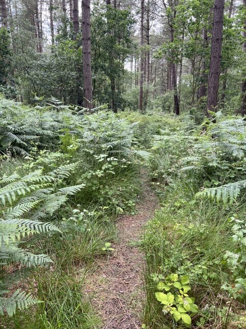
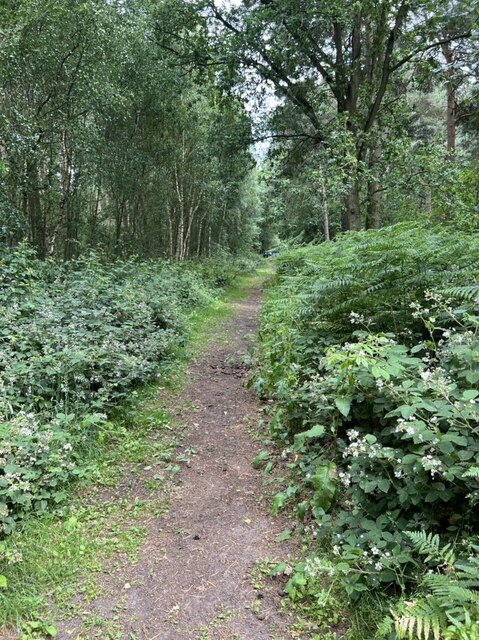
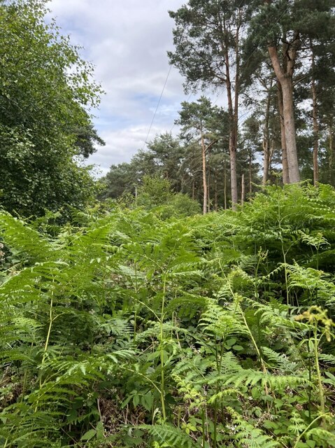
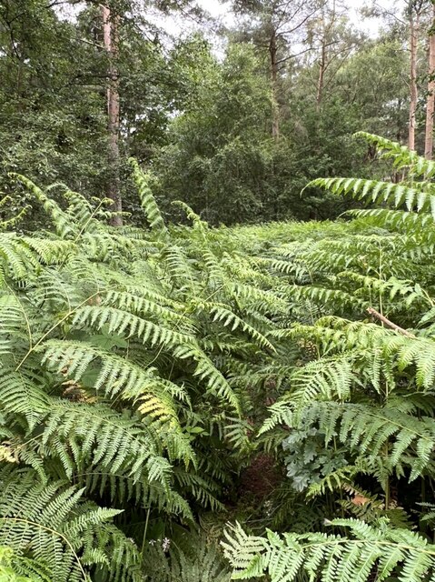
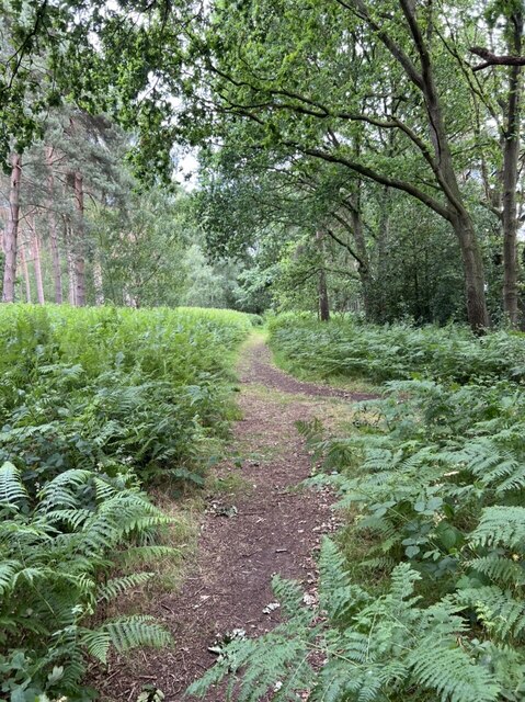
The plantation is predominantly composed of deciduous trees, including oak, ash, and beech, which provide a vibrant display of colors during autumn. The dense canopy formed by these trees creates a peaceful and shaded environment, perfect for leisurely walks and picnics. Visitors can enjoy the soothing sounds of birds chirping and the rustling of leaves as they explore the well-maintained trails that wind through the woodland.
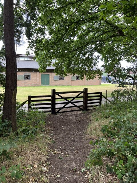
In addition to its natural beauty, Haxby Plantation offers various amenities and facilities to enhance the visitor experience. These include well-marked footpaths, picnic areas with benches, and information boards detailing the plantation's history and biodiversity. The plantation is open to the public throughout the year, welcoming individuals and families alike.
Haxby Plantation also plays an important role in conservation efforts. The woodland serves as a habitat for a variety of wildlife, including deer, foxes, and a wide range of bird species. The plantation's management team actively promotes sustainable practices, ensuring the preservation of the ecosystem and promoting biodiversity.
Overall, Haxby Plantation in Yorkshire is a delightful destination for those seeking a peaceful retreat in nature. Its stunning woodland scenery, well-maintained facilities, and commitment to conservation make it a must-visit location for both locals and tourists.
If you have any feedback on the listing, please let us know in the comments section below.
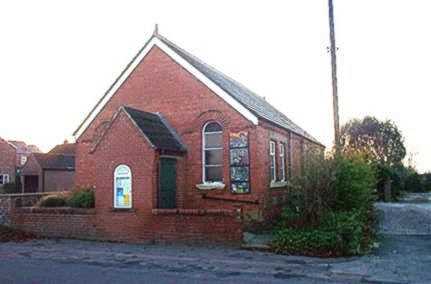
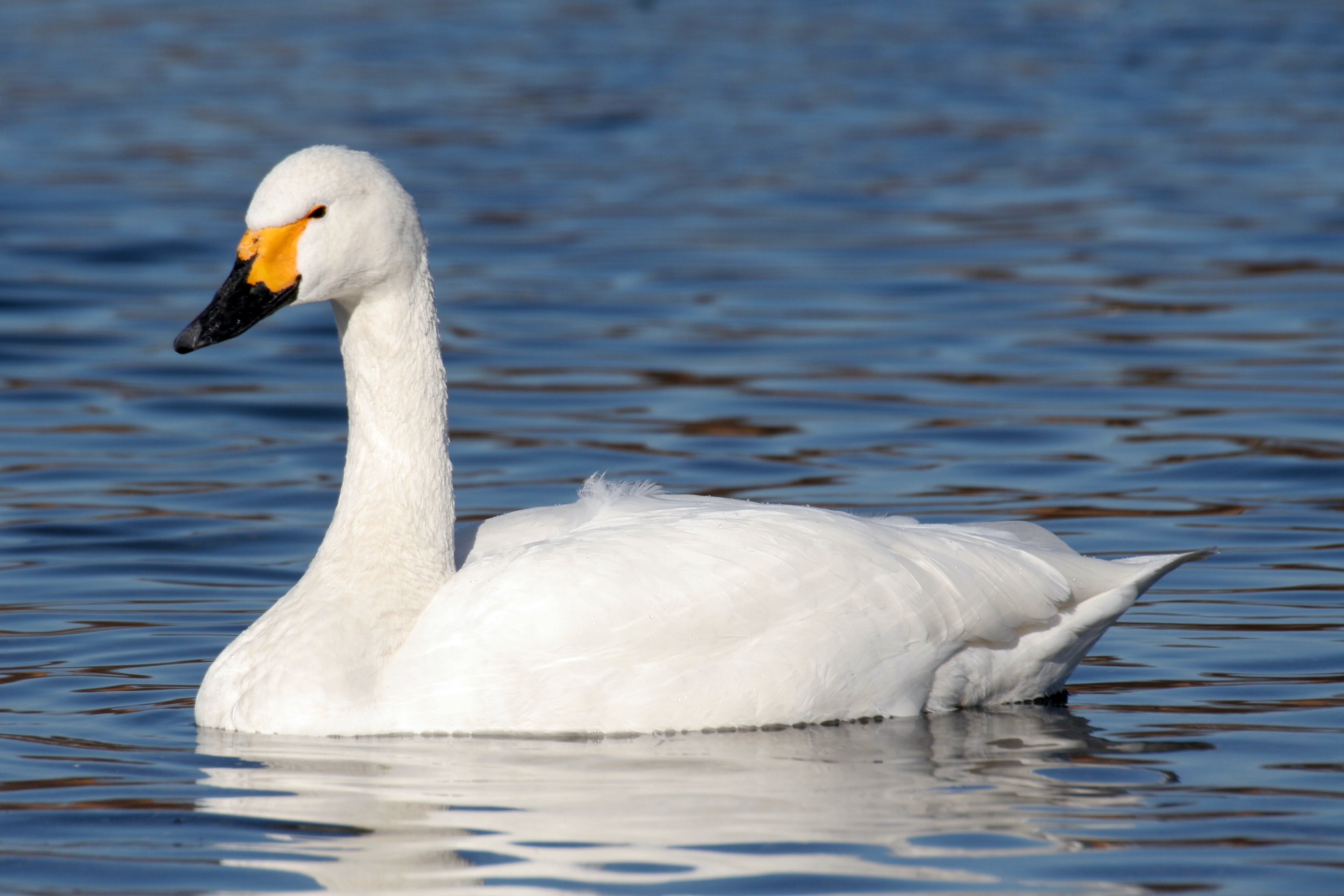
Haxby Plantation Images
Images are sourced within 2km of 53.911923/-0.87768199 or Grid Reference SE7346. Thanks to Geograph Open Source API. All images are credited.


Haxby Plantation is located at Grid Ref: SE7346 (Lat: 53.911923, Lng: -0.87768199)
Division: East Riding
Unitary Authority: East Riding of Yorkshire
Police Authority: Humberside
What 3 Words
///watch.cabinet.scribble. Near Thornton, East Yorkshire
Related Wikis

Allerthorpe Common
Allerthorpe Common is a Site of Special Scientific Interest (SSSI) and nature reserve in the East Riding of Yorkshire, England. It is located close to...
Thornton, East Riding of Yorkshire
Thornton is a village and civil parish in the East Riding of Yorkshire, England. It is situated approximately 3.5 miles (5.6 km) south-west of the town...

Sutton upon Derwent
Sutton upon Derwent is a small village and civil parish on the River Derwent in the East Riding of Yorkshire, England, approximately 8 miles (13 km) to...
Newton upon Derwent
Newton upon Derwent or Newton on Derwent is a village and civil parish in the East Riding of Yorkshire, England. It is situated approximately 5 miles...

Melbourne, East Riding of Yorkshire
Melbourne is a village and civil parish in the East Riding of Yorkshire, England. It is situated approximately 8 miles (13 km) west of the market town...

Wilberfoss Priory
Wilberfoss Priory was a priory in the East Riding of Yorkshire, England. A house of Benedictine nuns was founded before 1153 by Alan de Cotton, who granted...

Sutton Bridge, Yorkshire
Sutton Bridge is a historic bridge in Yorkshire, in England. The bridge crosses the River Derwent, linking Elvington in the City of York with Sutton-upon...
Derwent Ings
Derwent Ings is a Site of Special Scientific Interest (SSSI) divided between North Yorkshire and the East Riding of Yorkshire, England. Derwent Ings is...
Nearby Amenities
Located within 500m of 53.911923,-0.87768199Have you been to Haxby Plantation?
Leave your review of Haxby Plantation below (or comments, questions and feedback).