Woodhouse Common
Downs, Moorland in Yorkshire
England
Woodhouse Common
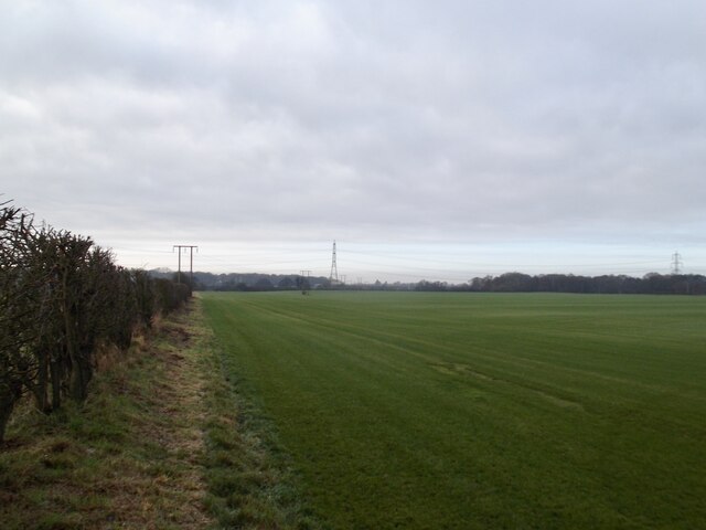
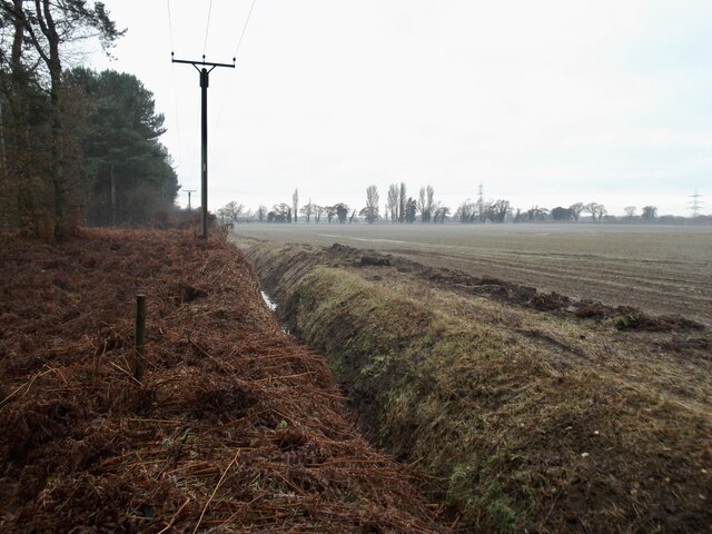
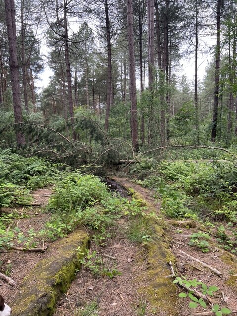
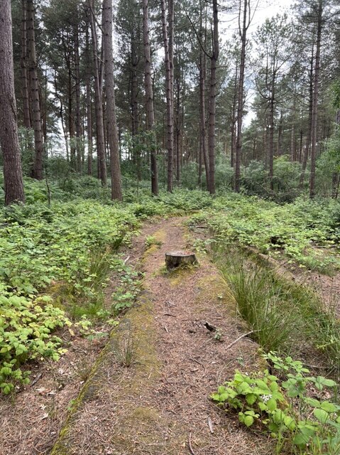
Woodhouse Common is a picturesque village located in the county of Yorkshire in England. Situated in the heart of the Yorkshire Downs, the village is surrounded by stunning natural beauty, including rolling hills, verdant meadows, and lush woodlands. It is also close to expansive moorlands that offer breathtaking views of the countryside.
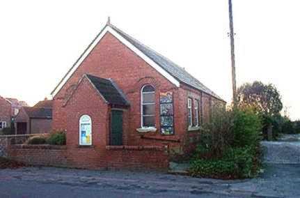
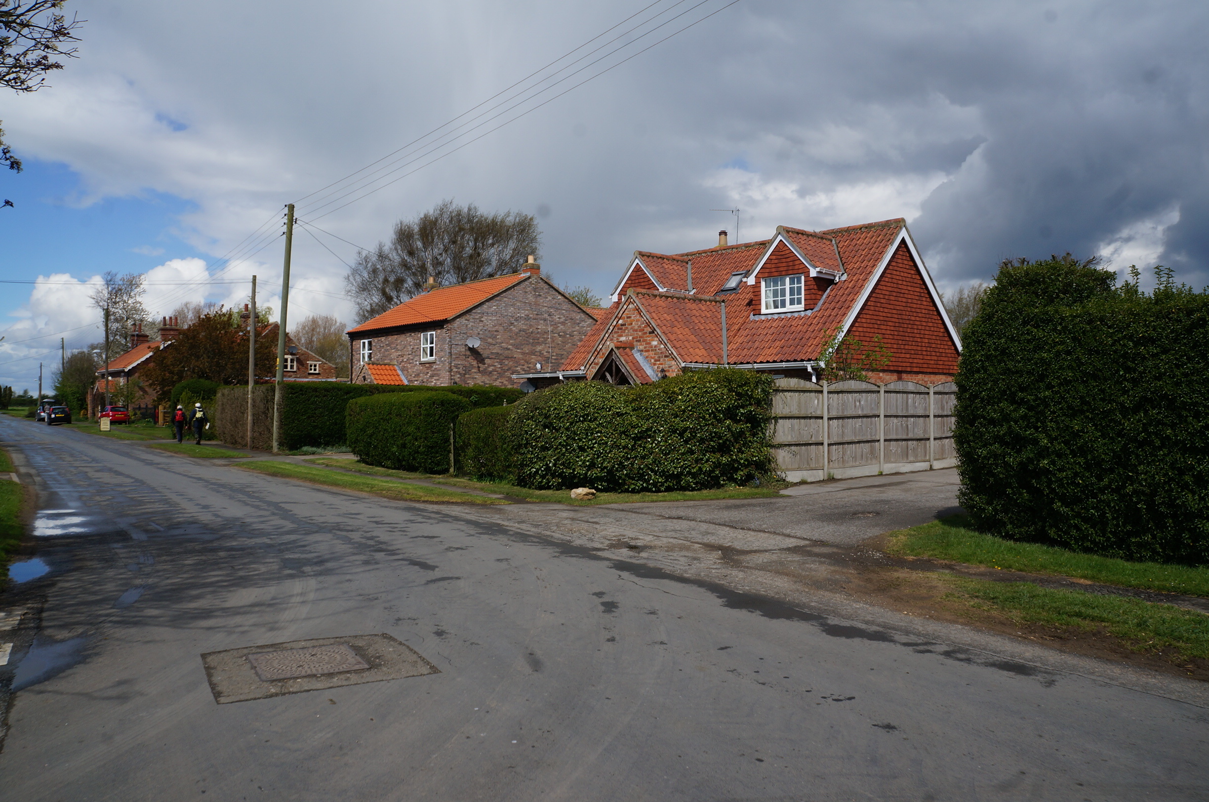
The village itself is small, with a population of around 500 residents. It has a close-knit community, known for its friendly and welcoming atmosphere. The houses in Woodhouse Common are mostly traditional stone cottages, giving the village a charming and rustic feel.
One of the notable features of Woodhouse Common is its village green, a spacious area at the center of the village where locals gather for various events and activities. The green is well-maintained and often serves as a venue for village fairs, sports tournaments, and picnics.
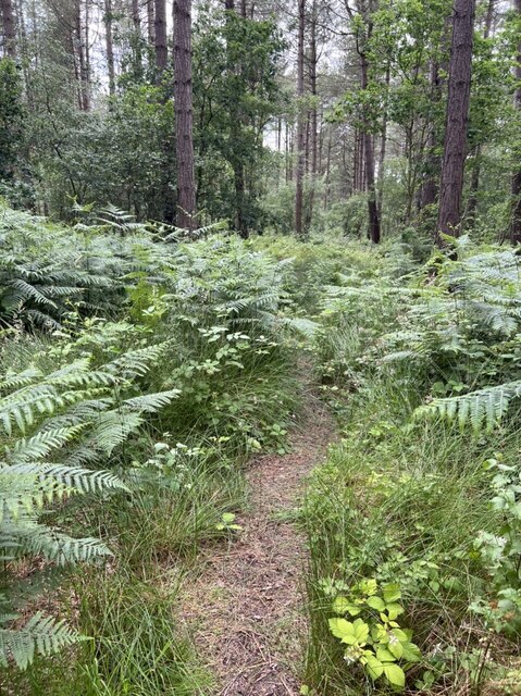
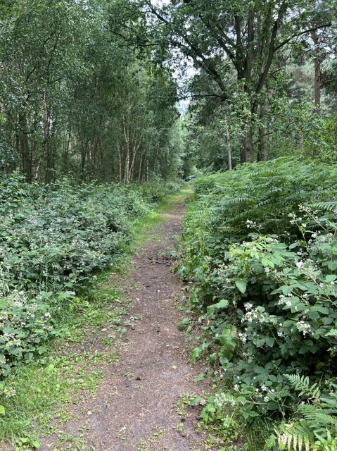
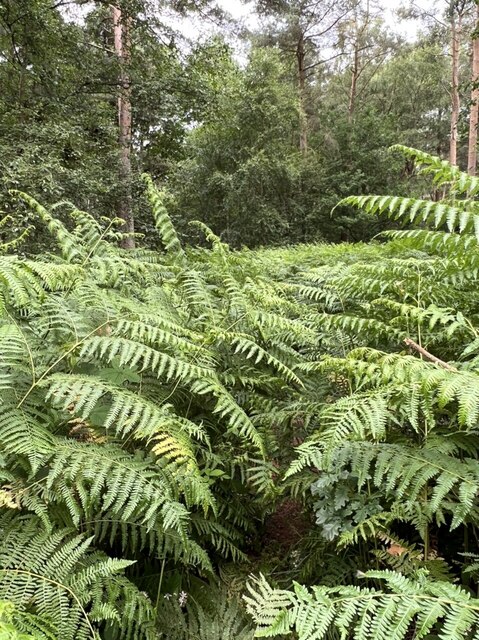
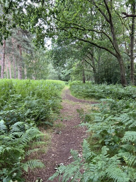
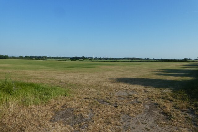
The surrounding countryside provides ample opportunities for outdoor enthusiasts, with numerous hiking and cycling trails crisscrossing the area. The Yorkshire Downs, in particular, offer breathtaking views and are a haven for wildlife, making it a popular destination for nature lovers.
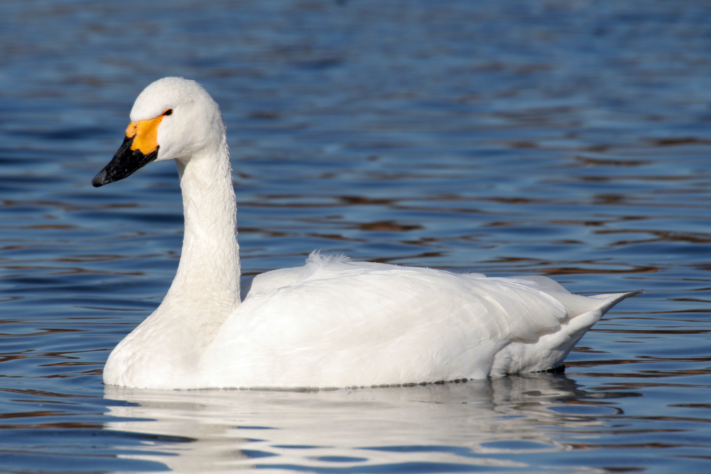
The nearby moorland is a unique landscape characterized by vast expanses of heather and peat bogs. Visitors can explore this rugged terrain and enjoy the tranquility and solitude it offers. The moorland is also home to a variety of bird species, including the iconic red grouse.
In conclusion, Woodhouse Common is a picturesque village nestled in the breathtaking countryside of Yorkshire. With its natural beauty and welcoming community, it is a perfect destination for those seeking a peaceful and idyllic retreat.
If you have any feedback on the listing, please let us know in the comments section below.
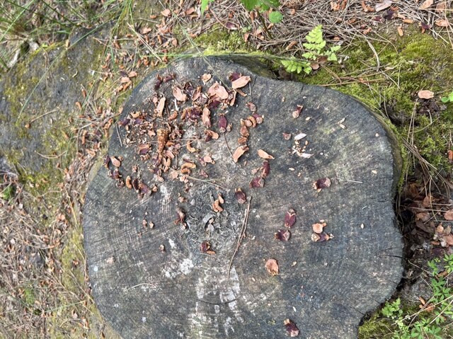
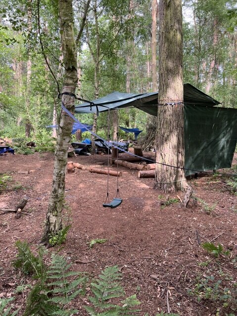
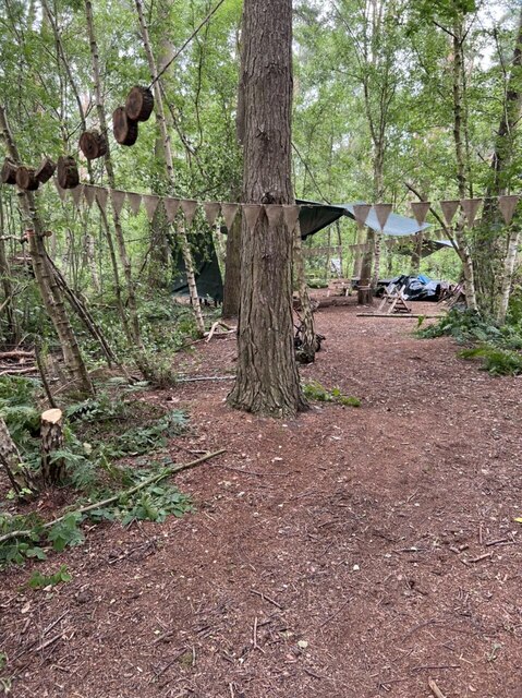
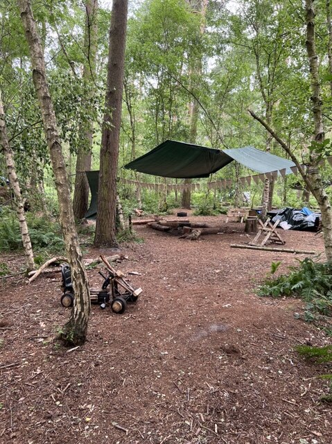
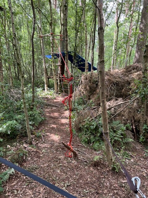
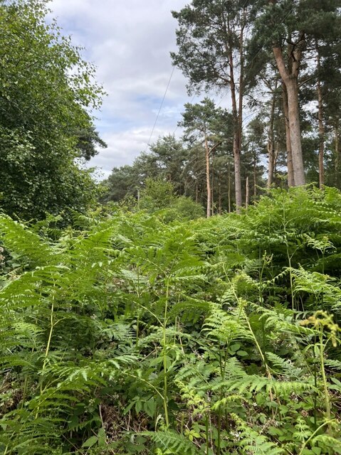
Woodhouse Common Images
Images are sourced within 2km of 53.913116/-0.88232387 or Grid Reference SE7346. Thanks to Geograph Open Source API. All images are credited.

Woodhouse Common is located at Grid Ref: SE7346 (Lat: 53.913116, Lng: -0.88232387)
Division: East Riding
Unitary Authority: East Riding of Yorkshire
Police Authority: Humberside
What 3 Words
///haircuts.author.splint. Near Thornton, East Yorkshire
Related Wikis

Allerthorpe Common
Allerthorpe Common is a Site of Special Scientific Interest (SSSI) and nature reserve in the East Riding of Yorkshire, England. It is located close to...

Sutton upon Derwent
Sutton upon Derwent is a small village and civil parish on the River Derwent in the East Riding of Yorkshire, England, approximately 8 miles (13 km) to...
Newton upon Derwent
Newton upon Derwent or Newton on Derwent is a village and civil parish in the East Riding of Yorkshire, England. It is situated approximately 5 miles...
Thornton, East Riding of Yorkshire
Thornton is a village and civil parish in the East Riding of Yorkshire, England. It is situated approximately 3.5 miles (5.6 km) south-west of the town...

Sutton Bridge, Yorkshire
Sutton Bridge is a historic bridge in Yorkshire, in England. The bridge crosses the River Derwent, linking Elvington in the City of York with Sutton-upon...

Wilberfoss Priory
Wilberfoss Priory was a priory in the East Riding of Yorkshire, England. A house of Benedictine nuns was founded before 1153 by Alan de Cotton, who granted...
Derwent Ings
Derwent Ings is a Site of Special Scientific Interest (SSSI) divided between North Yorkshire and the East Riding of Yorkshire, England. Derwent Ings is...

Melbourne, East Riding of Yorkshire
Melbourne is a village and civil parish in the East Riding of Yorkshire, England. It is situated approximately 8 miles (13 km) west of the market town...
Nearby Amenities
Located within 500m of 53.913116,-0.88232387Have you been to Woodhouse Common?
Leave your review of Woodhouse Common below (or comments, questions and feedback).