Mickfield Plantation
Wood, Forest in Yorkshire
England
Mickfield Plantation
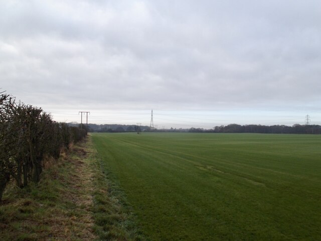
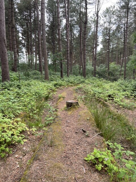
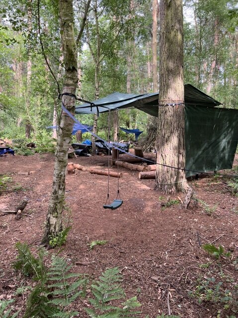
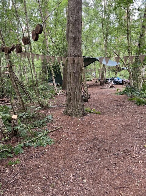
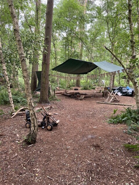
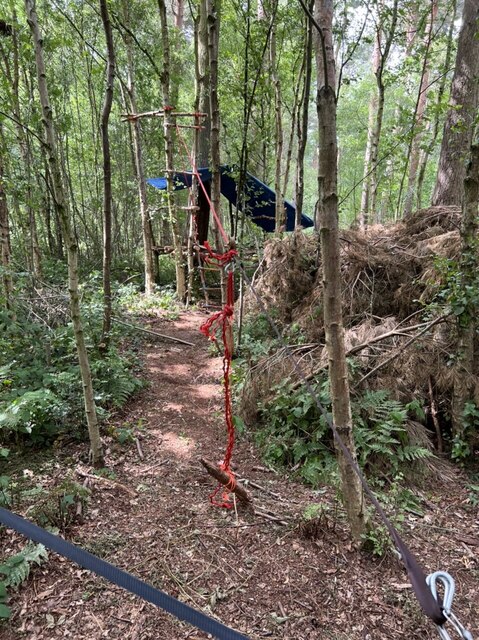
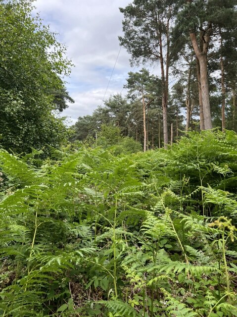
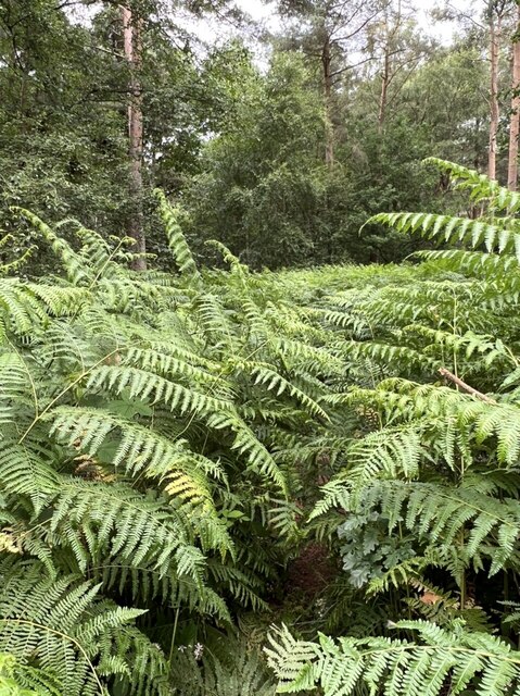
Mickfield Plantation is a picturesque woodland located in the county of Yorkshire, England. Situated near the village of Mickfield, the plantation covers an area of approximately 200 acres and is renowned for its diverse range of trees and beautiful natural scenery.
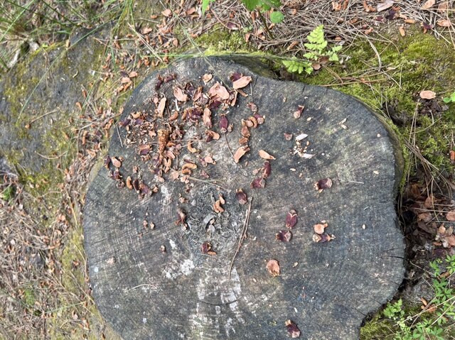
The woodland is predominantly composed of deciduous trees such as oak, beech, and ash, which create a striking tapestry of colors during the autumn season. Additionally, there are also pockets of coniferous trees like pine and spruce, providing a delightful contrast to the surrounding landscape.
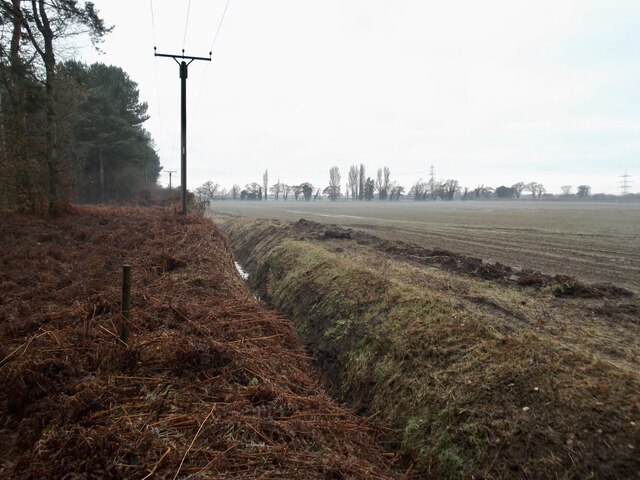
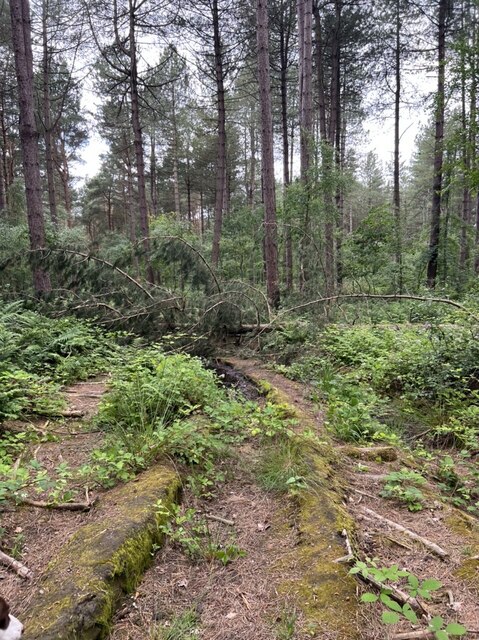
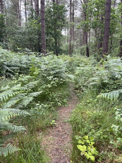
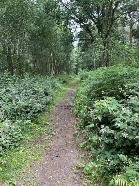
Mickfield Plantation offers a haven for wildlife enthusiasts, as it is home to a variety of fauna. Visitors may spot deer, squirrels, and a wide range of bird species, including woodpeckers and owls. The plantation also features several well-maintained walking trails, allowing visitors to explore the area at their own leisurely pace.
One of the main attractions of Mickfield Plantation is its historical significance. The woodland has been preserved for centuries and was once part of an ancient hunting ground. The plantation continues to be managed sustainably, ensuring the preservation of its natural beauty and ecological value.
Visitors to Mickfield Plantation can enjoy a tranquil and peaceful environment, ideal for picnics, photography, or simply unwinding amidst nature. The plantation is open to the public throughout the year, and admission is free, making it an accessible destination for locals and tourists alike. Whether one seeks a serene walk or a chance to connect with nature, Mickfield Plantation offers a delightful experience for all.
If you have any feedback on the listing, please let us know in the comments section below.
Mickfield Plantation Images
Images are sourced within 2km of 53.908325/-0.87554069 or Grid Reference SE7346. Thanks to Geograph Open Source API. All images are credited.


Mickfield Plantation is located at Grid Ref: SE7346 (Lat: 53.908325, Lng: -0.87554069)
Division: East Riding
Unitary Authority: East Riding of Yorkshire
Police Authority: Humberside
What 3 Words
///smokers.blaring.observers. Near Thornton, East Yorkshire
Related Wikis
Thornton, East Riding of Yorkshire
Thornton is a village and civil parish in the East Riding of Yorkshire, England. It is situated approximately 3.5 miles (5.6 km) south-west of the town...

Allerthorpe Common
Allerthorpe Common is a Site of Special Scientific Interest (SSSI) and nature reserve in the East Riding of Yorkshire, England. It is located close to...

Melbourne, East Riding of Yorkshire
Melbourne is a village and civil parish in the East Riding of Yorkshire, England. It is situated approximately 8 miles (13 km) west of the market town...

Sutton upon Derwent
Sutton upon Derwent is a small village and civil parish on the River Derwent in the East Riding of Yorkshire, England, approximately 8 miles (13 km) to...
Newton upon Derwent
Newton upon Derwent or Newton on Derwent is a village and civil parish in the East Riding of Yorkshire, England. It is situated approximately 5 miles...

Storwood
Storwood is a hamlet and former civil parish, now in the parish of Cottingwith, East Riding of Yorkshire, England. It is situated approximately 6 miles...
Derwent Ings
Derwent Ings is a Site of Special Scientific Interest (SSSI) divided between North Yorkshire and the East Riding of Yorkshire, England. Derwent Ings is...

Waplington
Waplington is a hamlet in the East Riding of Yorkshire, England. It is situated approximately 2 miles (3.2 km) south-west of the market town of Pocklington...
Nearby Amenities
Located within 500m of 53.908325,-0.87554069Have you been to Mickfield Plantation?
Leave your review of Mickfield Plantation below (or comments, questions and feedback).