Ash Plantation

Wood, Forest in Leicestershire Melton

England

Ash Plantation

Cottages at Wartnaby Date from the 1930s.
Cottages at Wartnaby Credit: Jonathan Thacker

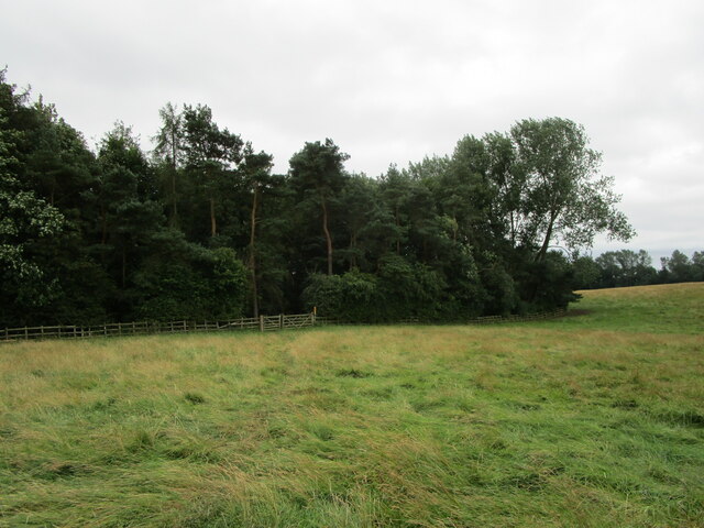
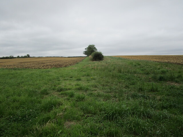
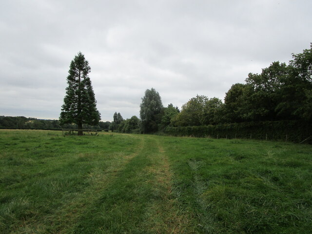
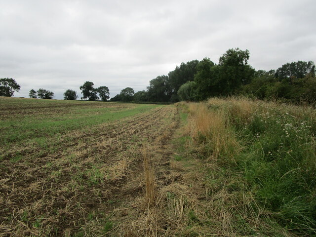
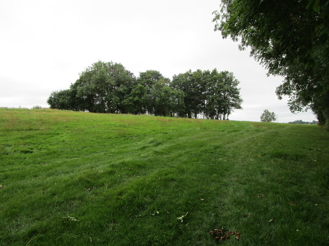
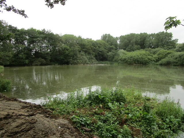
Ash Plantation is a picturesque woodland located in Leicestershire, England. Spanning over a vast area, it is well-known for its dense population of ash trees, hence the name "Ash Plantation." The woodland is situated in a rural area, surrounded by rolling hills and fields, adding to its natural beauty.

Covering an approximate area of 100 acres, Ash Plantation is a haven for nature enthusiasts and outdoor enthusiasts alike. The woodland is a designated Site of Special Scientific Interest (SSSI), highlighting its ecological importance and preservation. It is carefully managed to maintain the delicate balance of the ecosystem and protect the diverse range of wildlife that calls it home.

While ash trees dominate the plantation, there is also a rich mix of other tree species, such as oak, birch, and beech. This variety of trees creates a vibrant and colorful canopy during the autumn months when the leaves change, making it a popular spot for nature photographers and visitors seeking breathtaking views.

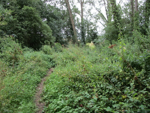
The woodland offers a network of well-maintained footpaths, allowing visitors to explore and immerse themselves in the tranquility of nature. These paths lead to secluded areas, tranquil ponds, and peaceful clearings, providing opportunities for quiet contemplation or a leisurely picnic amidst the beauty of the surroundings.

Ash Plantation is a haven for wildlife, with a diverse range of creatures inhabiting the woodland. Deer, foxes, rabbits, and a myriad of bird species can be spotted throughout the year, making it a hotspot for birdwatchers and wildlife enthusiasts.

Overall, Ash Plantation is a captivating woodland, offering a peaceful escape from the hustle and bustle of everyday life. Its natural beauty, diverse habitats, and rich wildlife make it a cherished gem in Leicestershire's landscape.

If you have any feedback on the listing, please let us know in the comments section below.

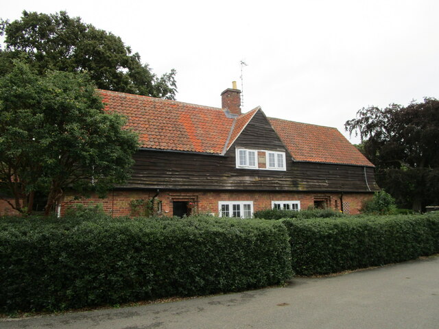
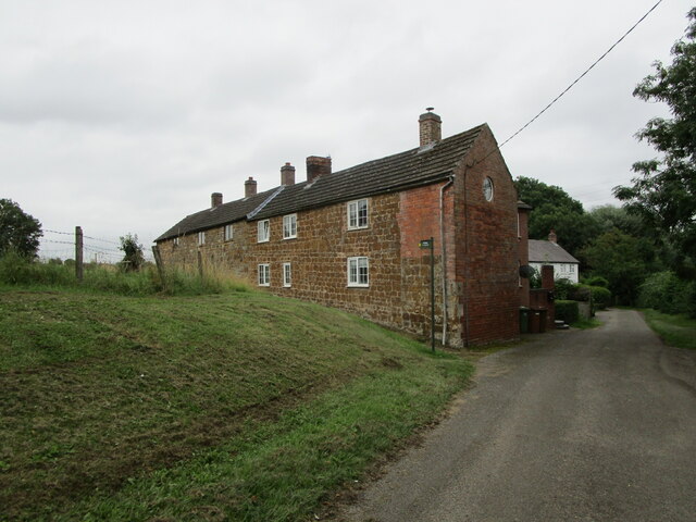
Ash Plantation Images

Images are sourced within 2km of 52.789845/-0.92815292 or Grid Reference SK7221. Thanks to Geograph Open Source API. All images are credited.

Cottages at Wartnaby Date from the 1930s.
Cottages at Wartnaby
Date from the 1930s.
Cottages, Spring Lane, Wartnaby
Bridleway approaching woodland near Wartnaby The bridleway seemed little used, the grass being long and wet.
Bridleway approaching woodland near Wartnaby
The bridleway seemed little used, the grass being long and wet.
Hedge between two stubble fields near Saxelbye
Coal stacks, Holwell Works
Disused entrance, Holwell Works
Footpath to Old Dalby Cuts through a field of maize.
Footpath to Old Dalby
Cuts through a field of maize.
Wartnaby House, tradesmen's entrance
Cottages at Wartnaby
Church Farmhouse, Wartnaby Dated from about 1800 <span class="nowrap"><a title="https://historicengland.org.uk/listing/the-list/list-entry/1178265" rel="nofollow ugc noopener" href="https://historicengland.org.uk/listing/the-list/list-entry/1178265">Link</a><img style="margin-left:2px;" alt="External link" title="External link - shift click to open in new window" src="https://s1.geograph.org.uk/img/external.png" width="10" height="10"/></span> The dovecote on the right is broadly contemporary <span class="nowrap"><a title="https://historicengland.org.uk/listing/the-list/list-entry/1178267" rel="nofollow ugc noopener" href="https://historicengland.org.uk/listing/the-list/list-entry/1178267">Link</a><img style="margin-left:2px;" alt="External link" title="External link - shift click to open in new window" src="https://s1.geograph.org.uk/img/external.png" width="10" height="10"/></span>
Church Farmhouse, Wartnaby
Dated from about 1800 LinkExternal link The dovecote on the right is broadly contemporary LinkExternal link
Chest tomb at Wartnaby Dated 1737 <span class="nowrap"><a title="https://historicengland.org.uk/listing/the-list/list-entry/1360845" rel="nofollow ugc noopener" href="https://historicengland.org.uk/listing/the-list/list-entry/1360845">Link</a><img style="margin-left:2px;" alt="External link" title="External link - shift click to open in new window" src="https://s1.geograph.org.uk/img/external.png" width="10" height="10"/></span>
Chest tomb at Wartnaby
Dated 1737 LinkExternal link
Chest tomb at Wartnaby Dated 1799 <span class="nowrap"><a title="https://historicengland.org.uk/listing/the-list/list-entry/1178259" rel="nofollow ugc noopener" href="https://historicengland.org.uk/listing/the-list/list-entry/1178259">Link</a><img style="margin-left:2px;" alt="External link" title="External link - shift click to open in new window" src="https://s1.geograph.org.uk/img/external.png" width="10" height="10"/></span>
Chest tomb at Wartnaby
Dated 1799 LinkExternal link
Bridleway to Saxelbye
Bridleway to Saxelbye Passing though a patch of woodland near Wartnaby.
Bridleway to Saxelbye
Passing though a patch of woodland near Wartnaby.
Bridleway to Saxelbye Passing alongside a harrowed field.
Bridleway to Saxelbye
Passing alongside a harrowed field.
Bridleway to Saxelbye Approaching a clump of trees.
Bridleway to Saxelbye
Approaching a clump of trees.
Large pond between Wartnaby and Saxelbye
Remains at former industrial site
Show me another place!

Ash Plantation is located at Grid Ref: SK7221 (Lat: 52.789845, Lng: -0.92815292)

Administrative County: Leicestershire

District: Melton

Police Authority: Leicestershire

What 3 Words

///tiger.afford.shredding. Near Asfordby, Leicestershire

Related Wikis

St James' Church, Ab Kettleby

St James’ Church, Ab Kettleby is a Grade II* listed parish church in the Church of England in Ab Kettleby, Leicestershire. == History == The church dates...

Ab Kettleby

Ab Kettleby is a village and civil parish in the Melton district of Leicestershire, England, located 3 miles (4.8 km) north of Melton Mowbray, on the A606...
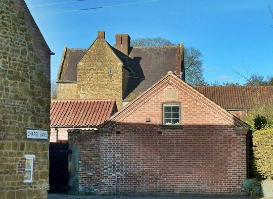
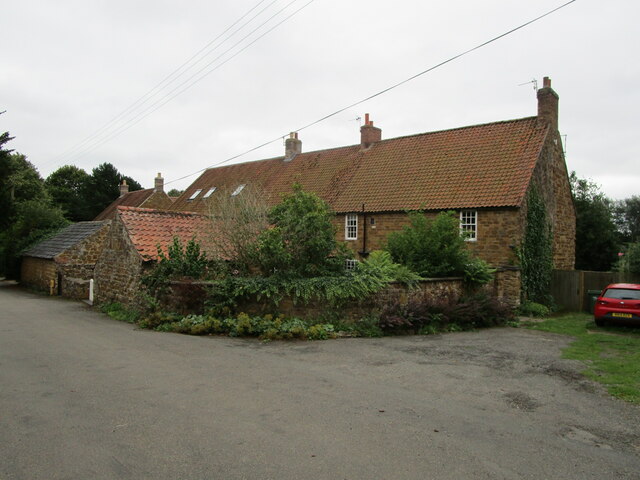
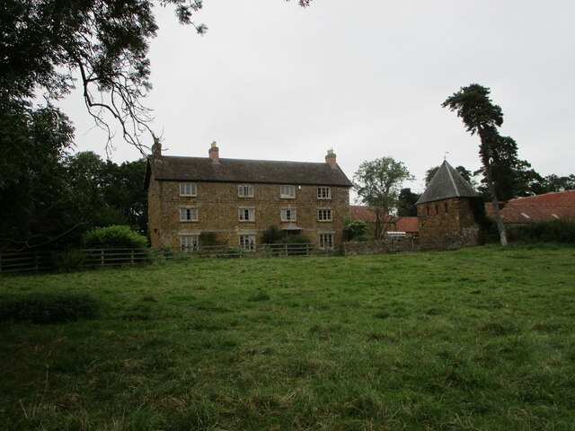
Ab Kettleby Manor

Ab Kettleby Manor is an early 17th-century house in the village of Ab Kettleby, Leicestershire. Built of ironstone with a central brick chimney the house...
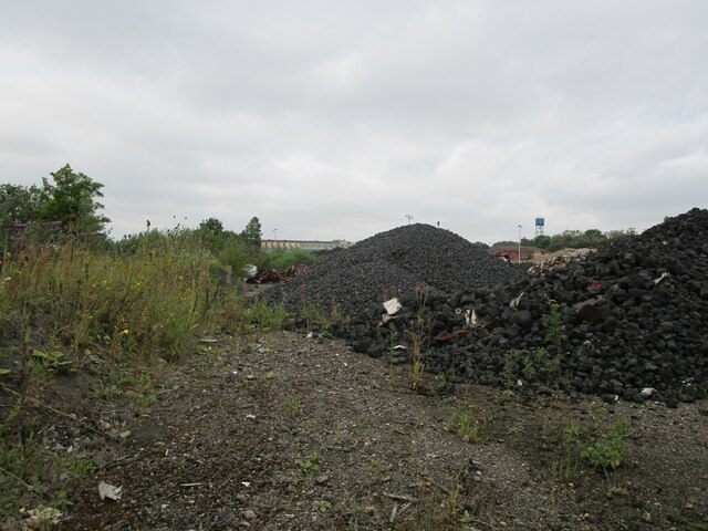
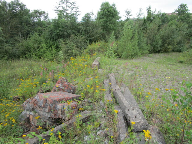
Asfordby Colliery

Asfordby Colliery (also known as Asfordby super-pit and Asfordby Mine) was a coal mine located in the village of Asfordby, near to Melton Mowbray in Leicestershire...

Melton Rural District

Melton was a rural district in Leicestershire, England from 1894 to 1935. It was created in 1894 under the Local Government Act 1894 as a successor to...

Holwell Reserves

Holwell Reserves is a 16.4 hectares (41 acres) nature reserve north of Melton Mowbray in Leicestershire. It is owned and managed by the Leicestershire...

Holwell Sports F.C.

Holwell Sports Football Club is a football club based in Asfordby Hill, near Melton Mowbray, Leicestershire, England. They are currently members of the...

Saxelbye

Saxelbye (or Saxelby) is a small village and former civil parish, now in the parish of Grimston, in the district of Melton in Leicestershire, England....

Nearby Amenities

Located within 500m of 52.789845,-0.92815292
Power: tower
Source: bing
Lat/Long: 52.7878576/-0.9233236
Power: tower
Source: bing
Lat/Long: 52.7899987/-0.9214246
Crossing
Lat/Long: 52.7897519/-0.9265495
Barrier: stile
Note: no idea why this is there
Source: survey
Step Count: 1
Stile: stepover
Lat/Long: 52.7896599/-0.9292398
Barrier: stile
Source: survey
Step Count: 1
Stile: stepover
Lat/Long: 52.7896417/-0.9289624
Fixme: coninue
Lat/Long: 52.788716/-0.9325066
Crossing
Lat/Long: 52.7915686/-0.926606
The data included in this document is from www.openstreetmap.org. The data is made available under ODbL.

Have you been to Ash Plantation?

Leave your review of Ash Plantation below (or comments, questions and feedback).