Say's Copse
Wood, Forest in Northamptonshire
England
Say's Copse
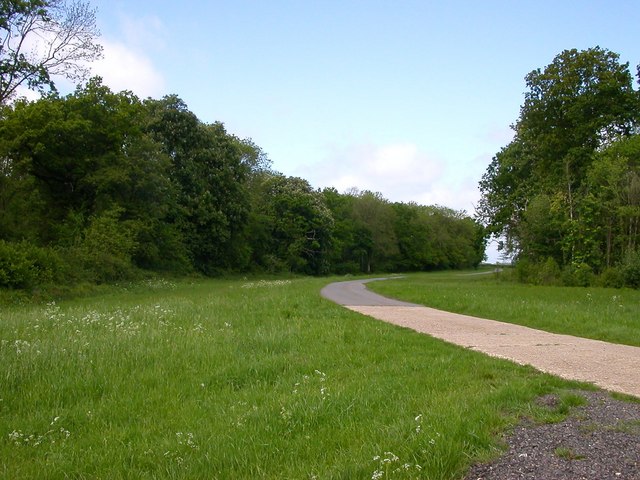
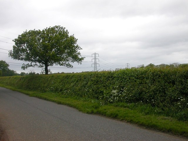
Say's Copse is a picturesque wood located in Northamptonshire, England. Situated near the village of Say's Hill, the copse covers an area of approximately 50 acres and is a popular destination for nature enthusiasts and walkers alike.
The copse boasts a diverse range of tree species, including oak, beech, ash, and silver birch, creating a rich and vibrant woodland ecosystem. The trees provide a dense canopy that provides shade and shelter for various wildlife species, such as birds, squirrels, and rabbits.
The woodland floor is adorned with an array of wildflowers, including bluebells, primroses, and wood anemones, which bloom in the spring, creating a colorful and enchanting sight. The copse also features a small stream that meanders through the woods, enhancing its natural beauty and providing a habitat for aquatic species.
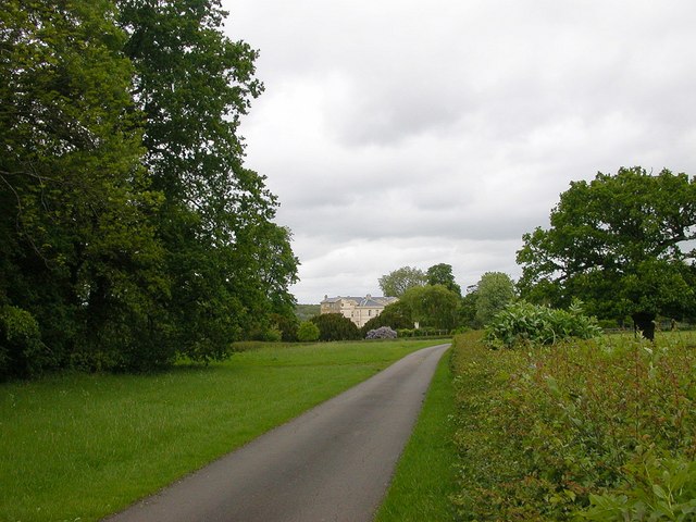
There are several well-maintained footpaths that wind their way through the copse, offering visitors the opportunity to explore and immerse themselves in the tranquil surroundings. These paths are suitable for all ages and fitness levels, making it accessible for families and individuals alike.
Say's Copse is a designated Site of Special Scientific Interest (SSSI) due to its rich biodiversity and ecological importance. It is managed by the local conservation authority, which ensures the preservation and protection of the woodland's natural habitats.
Whether it's a leisurely stroll, birdwatching, or simply enjoying the peace and tranquility of nature, Say's Copse offers a serene and idyllic setting for all those who visit.
If you have any feedback on the listing, please let us know in the comments section below.
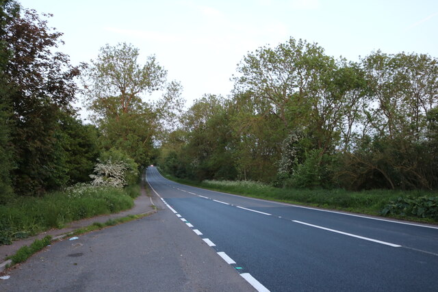
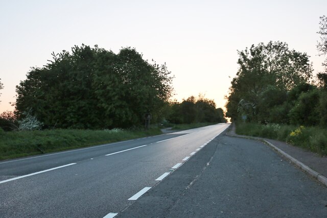
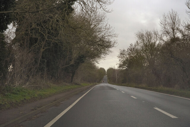
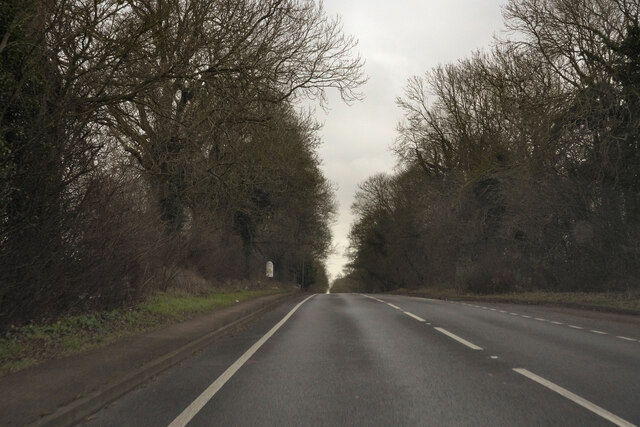
Say's Copse Images
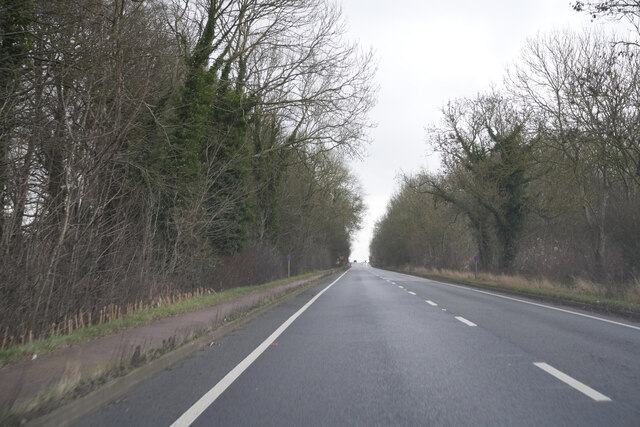
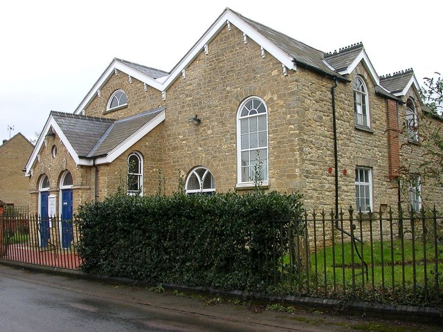
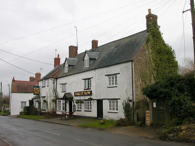
Images are sourced within 2km of 52.08701/-0.94509957 or Grid Reference SP7243. Thanks to Geograph Open Source API. All images are credited.


Say's Copse is located at Grid Ref: SP7243 (Lat: 52.08701, Lng: -0.94509957)
Unitary Authority: West Northamptonshire
Police Authority: Northamptonshire
What 3 Words
///sensual.airstrip.occupations. Near Potterspury, Northamptonshire
Nearby Locations
Related Wikis

Whittlewood Forest
Whittlewood Forest is a former medieval hunting forest east of Silverstone in Northamptonshire in England. It is managed by the Forestry England. There...
Paulerspury
Paulerspury is a civil parish and small village in South Northamptonshire, England. It is approximately 3 miles (5 km) south of Towcester and 8 miles...

Pury End
Pury End is a hamlet of approximately 100 houses in the civil parish of Paulerspury, near Towcester in West Northamptonshire, England. The Grafton Way...
Potterspury Lodge School
Potterspury Lodge School is a Cambian Group school in Northamptonshire, England. It is an Independent School that caters to children with ASD [autism spectrum...
Nearby Amenities
Located within 500m of 52.08701,-0.94509957Have you been to Say's Copse?
Leave your review of Say's Copse below (or comments, questions and feedback).