Hall Ings Wood
Wood, Forest in Yorkshire Ryedale
England
Hall Ings Wood

Hall Ings Wood is a charming woodland area located in Yorkshire, England. Covering an extensive area, this woodland is a natural haven for nature enthusiasts and offers a peaceful retreat for visitors. The wood is situated near the village of Thornton, just a few miles away from the bustling city of Bradford.
Upon entering Hall Ings Wood, visitors are greeted by a diverse range of tree species that create a lush and vibrant environment. Ancient oak trees dominate the landscape, their gnarled branches reaching towards the sky, providing shade for the woodland floor below. The woodland boasts a rich biodiversity, with a variety of flora and fauna that call this area home.
Walking through the wood, one can find an array of wildflowers, such as bluebells and primroses, carpeting the ground during the spring months. The woodland is also home to a diverse range of wildlife, including squirrels, rabbits, and a plethora of bird species. Keen-eyed visitors may even catch a glimpse of the elusive red fox or the occasional deer.
Hall Ings Wood offers a network of well-maintained footpaths, allowing visitors to explore the area at their own pace. The tranquil atmosphere and stunning scenery make it an ideal location for walking, jogging, or simply enjoying a picnic amidst the natural beauty. The wood also provides a space for educational activities, as it is frequently used as an outdoor classroom for local schools.
Overall, Hall Ings Wood is a picturesque woodland that showcases the beauty of Yorkshire's natural landscape. Whether it's a leisurely stroll or a nature-filled adventure, this wood offers a serene escape from the hustle and bustle of everyday life.
If you have any feedback on the listing, please let us know in the comments section below.
Hall Ings Wood Images
Images are sourced within 2km of 54.302578/-0.88930557 or Grid Reference SE7290. Thanks to Geograph Open Source API. All images are credited.


Hall Ings Wood is located at Grid Ref: SE7290 (Lat: 54.302578, Lng: -0.88930557)
Division: North Riding
Administrative County: North Yorkshire
District: Ryedale
Police Authority: North Yorkshire
What 3 Words
///hurls.waiters.forkful. Near Kirkbymoorside, North Yorkshire
Nearby Locations
Related Wikis
Spaunton
Spaunton is a hamlet and civil parish in North Yorkshire, England. At the 2011 the civil parish had a population of less than 100. Details are included...

Church of St Mary, Lastingham
The Church of St Mary, Lastingham, is the Anglican parish church for the village of Lastingham in North Yorkshire, England. The parish is part of Ryedale...

Lastingham
Lastingham is a village and civil parish which lies in the Ryedale district of North Yorkshire, England. It is on the southern fringe of the North York...

Hutton-le-Hole
Hutton-le-Hole is a small village and civil parish in North Yorkshire, England, about 7 miles (11 km) north-west of Pickering. It is a popular scenic village...
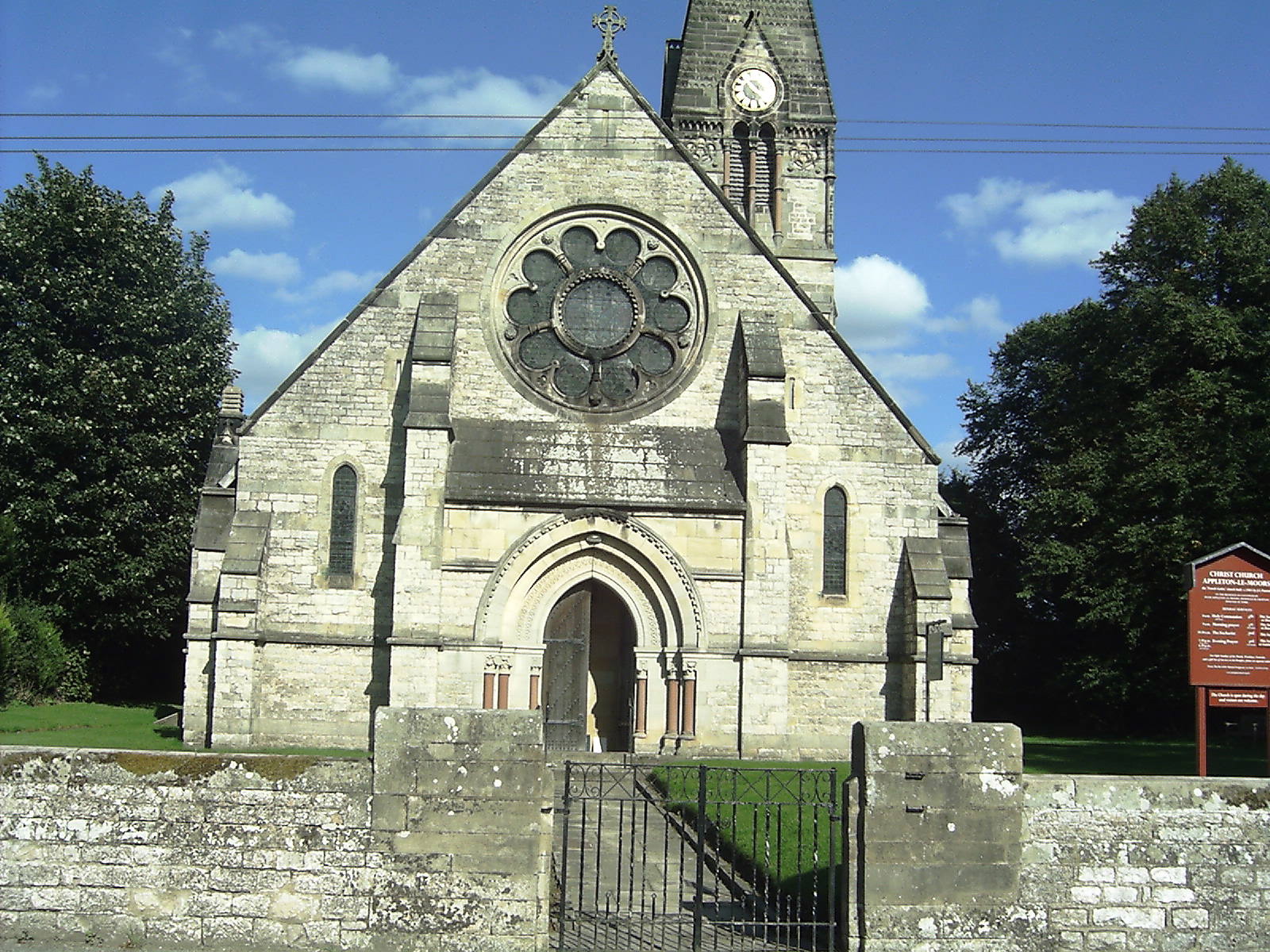
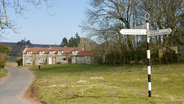
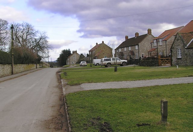
Appleton-le-Moors
Appleton-le-Moors is a village and civil parish in North Yorkshire, England. According to the 2001 census it had a population of 183, reducing to 164 in...

Excalibur Pot
Excalibur Pot is a natural cave in the North York Moors area of England. It is the only major cave known in the North York Moors, and is formed within...
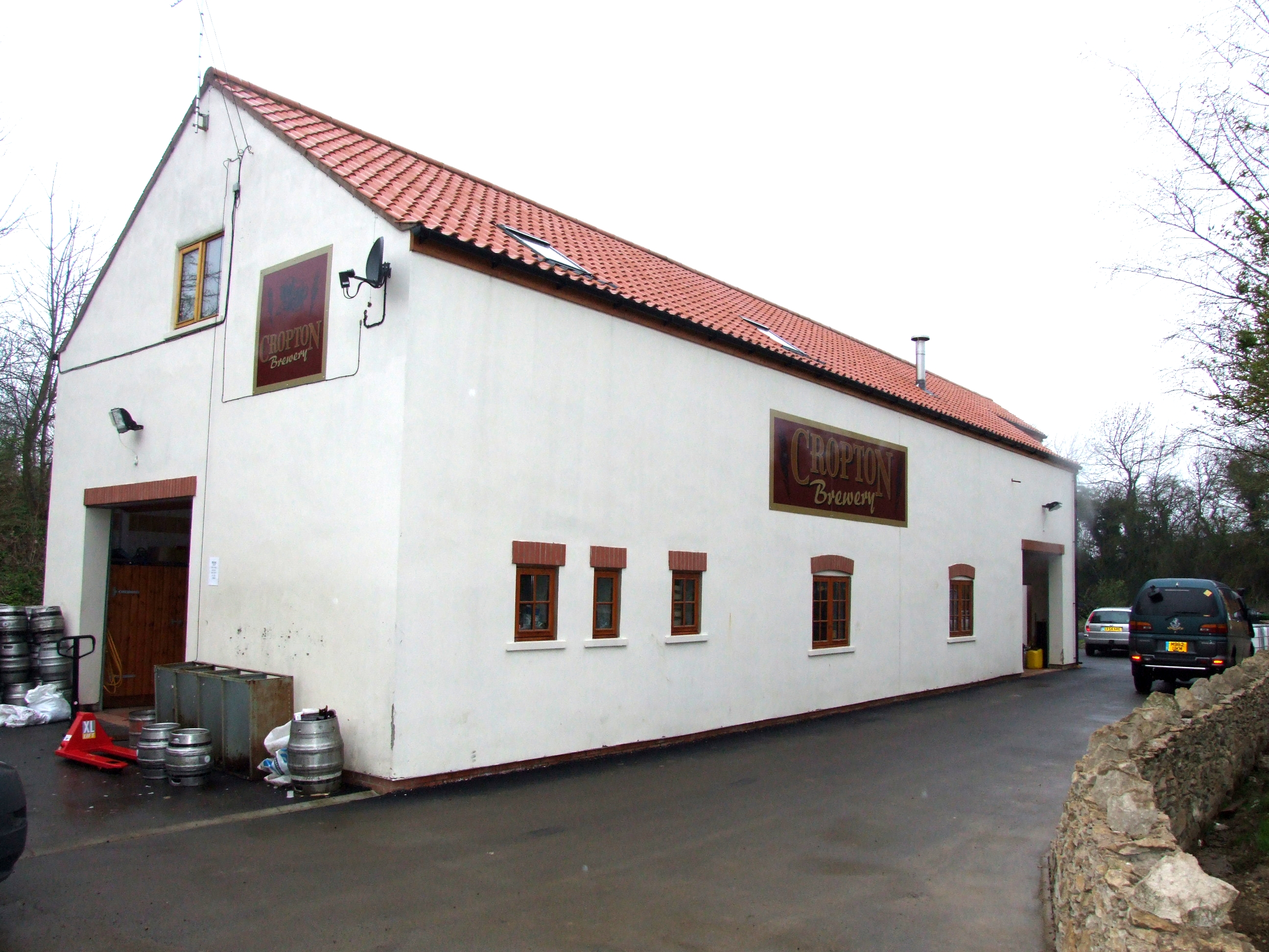
The Great Yorkshire Brewery
The Great Yorkshire Brewery (founded as Cropton Brewery) is situated in the village of Cropton in North Yorkshire, England. Located within the North York...

Cropton
Cropton is a village and civil parish in the Ryedale district of North Yorkshire, England. It is on the border of the North York Moors National Park, 3...
Nearby Amenities
Located within 500m of 54.302578,-0.88930557Have you been to Hall Ings Wood?
Leave your review of Hall Ings Wood below (or comments, questions and feedback).