Fishponds Spinney
Wood, Forest in Leicestershire Melton
England
Fishponds Spinney
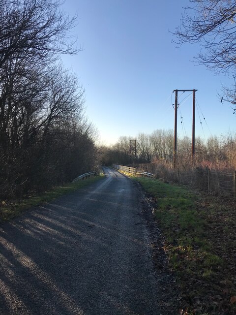
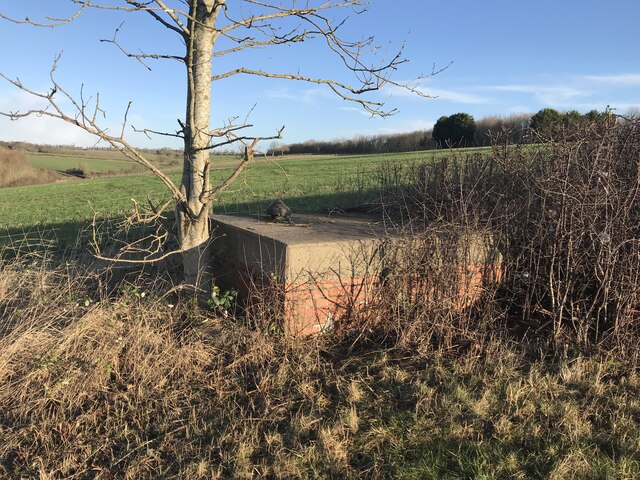
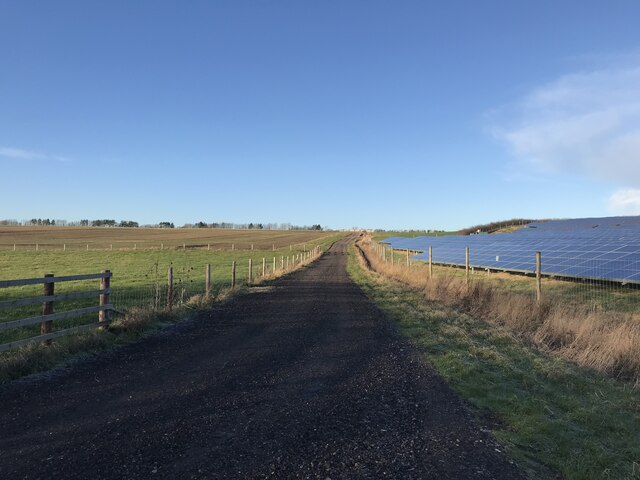
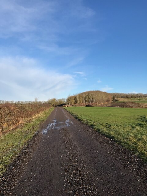
Fishponds Spinney is a small woodland located in Leicestershire, England. Situated near the village of Woodhouse Eaves, it covers an area of approximately 3 hectares. The spinney is characterized by a mix of deciduous and coniferous trees, creating a diverse and enchanting forest environment.
The woodland is named after the presence of a small pond within its boundaries, known as Fishponds. This pond is a significant feature of the spinney, attracting various wildlife species such as frogs, newts, and dragonflies. The surrounding vegetation around the pond is abundant with reeds and water plants, providing a thriving habitat for numerous aquatic organisms.
Fishponds Spinney is a popular destination for nature enthusiasts and walkers due to its peaceful and picturesque setting. The woodland offers several walking trails that wind through the trees, allowing visitors to explore the natural beauty of the area. The paths are well-maintained and provide easy access for all visitors, including families with young children and individuals with disabilities.
The diverse range of trees in Fishponds Spinney includes oak, beech, birch, and pine, among others. This variety of species supports a rich ecosystem, providing habitats for a wide array of flora and fauna. The forest floor is carpeted with a lush undergrowth of ferns, wildflowers, and mosses, adding to the beauty and biodiversity of the spinney.
Overall, Fishponds Spinney is a cherished woodland in Leicestershire, offering a tranquil escape from the hustle and bustle of everyday life. Its natural beauty, diverse vegetation, and thriving wildlife make it a haven for nature lovers and a valuable asset to the local community.
If you have any feedback on the listing, please let us know in the comments section below.
Fishponds Spinney Images
Images are sourced within 2km of 52.782465/-0.92124709 or Grid Reference SK7221. Thanks to Geograph Open Source API. All images are credited.


Fishponds Spinney is located at Grid Ref: SK7221 (Lat: 52.782465, Lng: -0.92124709)
Administrative County: Leicestershire
District: Melton
Police Authority: Leicestershire
What 3 Words
///office.investors.dating. Near Melton Mowbray, Leicestershire
Nearby Locations
Related Wikis

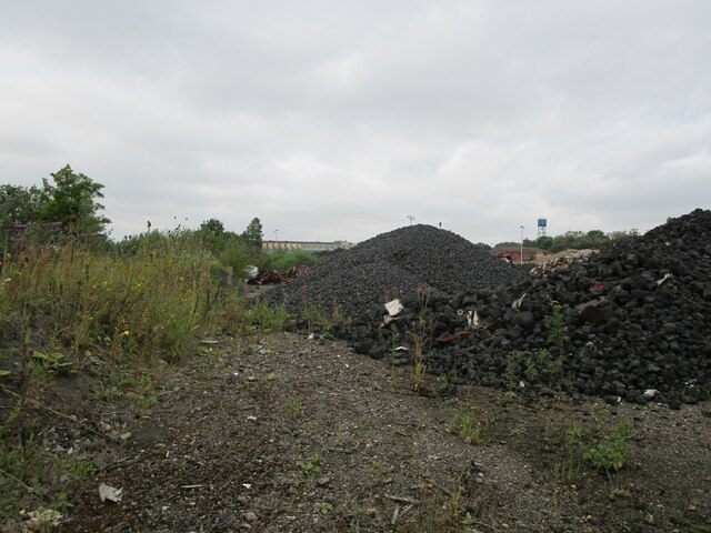
Asfordby Colliery
Asfordby Colliery (also known as Asfordby super-pit and Asfordby Mine) was a coal mine located in the village of Asfordby, near to Melton Mowbray in Leicestershire...
Holwell Sports F.C.
Holwell Sports Football Club is a football club based in Asfordby Hill, near Melton Mowbray, Leicestershire, England. They are currently members of the...

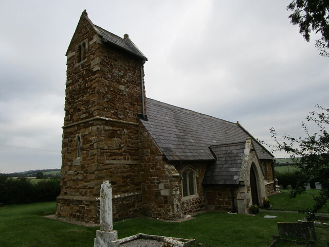
St James' Church, Ab Kettleby
St James’ Church, Ab Kettleby is a Grade II* listed parish church in the Church of England in Ab Kettleby, Leicestershire. == History == The church dates...
Asfordby Hill
Asfordby Hill is a hamlet on the A6006 road, in the parish of Asfordby, in the Melton district, in the English county of Leicestershire. == Amenities... ==

Ab Kettleby
Ab Kettleby is a village and civil parish in the Melton district of Leicestershire, England, located 3 miles (4.8 km) north of Melton Mowbray, on the A606...
Ab Kettleby Manor
Ab Kettleby Manor is an early 17th-century house in the village of Ab Kettleby, Leicestershire. Built of ironstone with a central brick chimney the house...
John Ferneley College
John Ferneley College is a mixed college located in Melton Mowbray in the English county of Leicestershire. The college is part of the Mowbray Education...
Paint Research Association
The Paint Research Association is a research institute, formerly in Teddington, south-west London, and now in Melton Mowbray, Leicestershire. It is now...
Nearby Amenities
Located within 500m of 52.782465,-0.92124709Have you been to Fishponds Spinney?
Leave your review of Fishponds Spinney below (or comments, questions and feedback).