Oak Plantation

Wood, Forest in Leicestershire Melton

England

Oak Plantation

Roadway and footpath to a farm near Holwell
Roadway and footpath to a farm near Holwell Credit: Jonathan Thacker

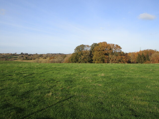
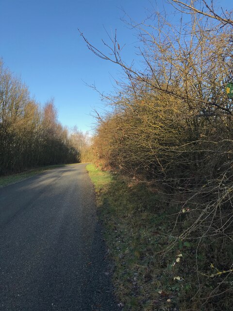
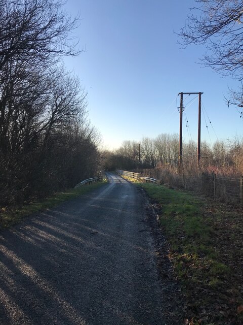
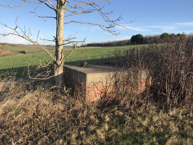
Oak Plantation is a magnificent woodland located in Leicestershire, England. Spanning over a vast area, this oak-dominated forest is a haven for nature enthusiasts and outdoor adventurers. The plantation is renowned for its rich biodiversity, offering a diverse range of flora and fauna.

The towering oak trees, which give the plantation its name, dominate the landscape. These majestic trees provide a dense canopy that filters sunlight, creating a cool and shady environment beneath. The forest floor is covered in a thick carpet of moss, ferns, and wildflowers, adding to the enchanting atmosphere.

The woodland is home to a plethora of wildlife species. Birdwatchers can spot various species of birds, including woodpeckers, owls, and songbirds. Mammals such as deer, foxes, and badgers can also be observed within the plantation. Additionally, the forest supports a thriving population of insects, including butterflies, beetles, and bees.

Oak Plantation offers numerous recreational opportunities for visitors. The well-maintained trails winding through the forest are perfect for hiking, jogging, or cycling. Picnic areas dotted throughout the woodland provide a tranquil spot to relax and enjoy the surroundings. The plantation also offers educational programs and guided nature walks for those interested in learning more about the local ecosystem.

Accessible and well-preserved, Oak Plantation is a true gem in Leicestershire's natural landscape. Its lush greenery, diverse wildlife, and recreational amenities make it an ideal destination for nature lovers and outdoor enthusiasts alike.

If you have any feedback on the listing, please let us know in the comments section below.

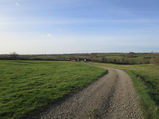
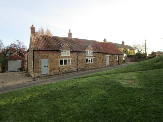
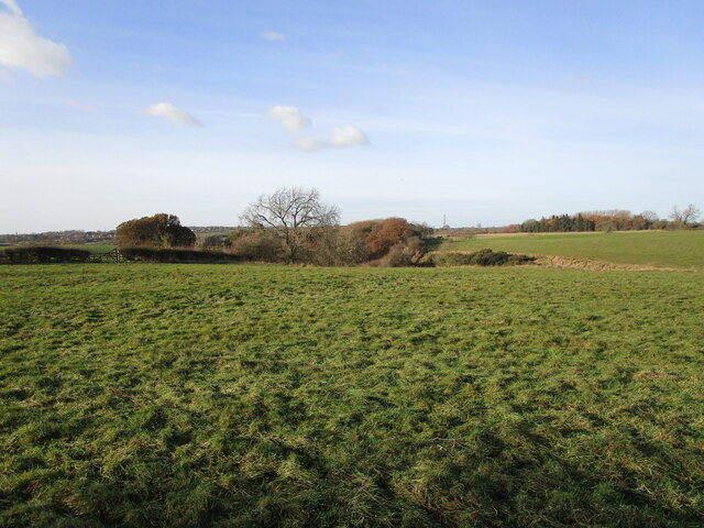
Oak Plantation Images

Images are sourced within 2km of 52.79015/-0.9250906 or Grid Reference SK7221. Thanks to Geograph Open Source API. All images are credited.

Roadway and footpath to a farm near Holwell
Yew Tree Farm Cottages, Holwell Modernised seventeenth century cottages <span class="nowrap"><a title="https://historicengland.org.uk/listing/the-list/list-entry/1360844" rel="nofollow ugc noopener" href="https://historicengland.org.uk/listing/the-list/list-entry/1360844">Link</a><img style="margin-left:2px;" alt="External link" title="External link - shift click to open in new window" src="https://s1.geograph.org.uk/img/external.png" width="10" height="10"/></span>
Yew Tree Farm Cottages, Holwell
Modernised seventeenth century cottages LinkExternal link
Grass field and Old Hills Wood
Whoops! Someone walked across the concrete when it was still wet.
Whoops!
Someone walked across the concrete when it was still wet.
Cattle grid near Old Hills Wood This is both a roadway serving a farm and a public foortpath,
Cattle grid near Old Hills Wood
This is both a roadway serving a farm and a public foortpath,
Grass field and hedgerow with trees
Roadway and public footpath
Gate, stile and grass field
Village Green, Holwell A small space, the row of cottages in the centre of the picture date from the eighteenth century <span class="nowrap"><a title="https://historicengland.org.uk/listing/the-list/list-entry/1075145" rel="nofollow ugc noopener" href="https://historicengland.org.uk/listing/the-list/list-entry/1075145">Link</a><img style="margin-left:2px;" alt="External link" title="External link - shift click to open in new window" src="https://s1.geograph.org.uk/img/external.png" width="10" height="10"/></span> The former Methodist chapel is now a house.
Village Green, Holwell
A small space, the row of cottages in the centre of the picture date from the eighteenth century LinkExternal link The former Methodist chapel is now a house.
St. Leonard's church, Holwell A thirteenth century chapelry of Ab Kettleby <span class="nowrap"><a title="https://historicengland.org.uk/listing/the-list/list-entry/1295131" rel="nofollow ugc noopener" href="https://historicengland.org.uk/listing/the-list/list-entry/1295131">Link</a><img style="margin-left:2px;" alt="External link" title="External link - shift click to open in new window" src="https://s1.geograph.org.uk/img/external.png" width="10" height="10"/></span>
The church's lead roof was stolen in 2019 <span class="nowrap"><a title="https://www.leicestermercury.co.uk/news/local-news/thieves-rip-lead-700-year-2591627" rel="nofollow ugc noopener" href="https://www.leicestermercury.co.uk/news/local-news/thieves-rip-lead-700-year-2591627">Link</a><img style="margin-left:2px;" alt="External link" title="External link - shift click to open in new window" src="https://s1.geograph.org.uk/img/external.png" width="10" height="10"/></span> and is yet to be replaced.
St. Leonard's church, Holwell
A thirteenth century chapelry of Ab Kettleby LinkExternal link The church's lead roof was stolen in 2019 LinkExternal link and is yet to be replaced.
Church of St. Leonard, Holwell A thirteenth century chapelry of Ab Kettleby <span class="nowrap"><a title="https://historicengland.org.uk/listing/the-list/list-entry/1295131" rel="nofollow ugc noopener" href="https://historicengland.org.uk/listing/the-list/list-entry/1295131">Link</a><img style="margin-left:2px;" alt="External link" title="External link - shift click to open in new window" src="https://s1.geograph.org.uk/img/external.png" width="10" height="10"/></span>
The church's lead roof was stolen in 2019 <span class="nowrap"><a title="https://www.leicestermercury.co.uk/news/local-news/thieves-rip-lead-700-year-2591627" rel="nofollow ugc noopener" href="https://www.leicestermercury.co.uk/news/local-news/thieves-rip-lead-700-year-2591627">Link</a><img style="margin-left:2px;" alt="External link" title="External link - shift click to open in new window" src="https://s1.geograph.org.uk/img/external.png" width="10" height="10"/></span> and is yet to be replaced.
Church of St. Leonard, Holwell
A thirteenth century chapelry of Ab Kettleby LinkExternal link The church's lead roof was stolen in 2019 LinkExternal link and is yet to be replaced.
Ivy House Farmhouse, Holwell Dates from the late seventeenth century but altered <span class="nowrap"><a title="https://historicengland.org.uk/listing/the-list/list-entry/1295133" rel="nofollow ugc noopener" href="https://historicengland.org.uk/listing/the-list/list-entry/1295133">Link</a><img style="margin-left:2px;" alt="External link" title="External link - shift click to open in new window" src="https://s1.geograph.org.uk/img/external.png" width="10" height="10"/></span>
Ivy House Farmhouse, Holwell
Dates from the late seventeenth century but altered LinkExternal link
Autumn sown field off Nursery Lane
Road towards Welby
Road towards Welby
Road towards bridge
Road towards bridge
Subterranean structure
Bridleway - solar farm on right
Show me another place!

Oak Plantation is located at Grid Ref: SK7221 (Lat: 52.79015, Lng: -0.9250906)

Administrative County: Leicestershire

District: Melton

Police Authority: Leicestershire

What 3 Words

///affirming.exhales.trump. Near Melton Mowbray, Leicestershire

Related Wikis

St James' Church, Ab Kettleby

St James’ Church, Ab Kettleby is a Grade II* listed parish church in the Church of England in Ab Kettleby, Leicestershire. == History == The church dates...

Ab Kettleby

Ab Kettleby is a village and civil parish in the Melton district of Leicestershire, England, located 3 miles (4.8 km) north of Melton Mowbray, on the A606...

Ab Kettleby Manor

Ab Kettleby Manor is an early 17th-century house in the village of Ab Kettleby, Leicestershire. Built of ironstone with a central brick chimney the house...

Asfordby Colliery

Asfordby Colliery (also known as Asfordby super-pit and Asfordby Mine) was a coal mine located in the village of Asfordby, near to Melton Mowbray in Leicestershire...

Nearby Amenities

Located within 500m of 52.79015,-0.9250906
Power: tower
Source: bing
Lat/Long: 52.7878576/-0.9233236
Power: tower
Source: bing
Lat/Long: 52.7899987/-0.9214246
Power: tower
Source: bing
Lat/Long: 52.7926069/-0.9190213
Power: tower
Source: bing
Lat/Long: 52.7856709/-0.9253513
Fixme: continues
Lat/Long: 52.7930308/-0.9197611
Crossing
Lat/Long: 52.7897519/-0.9265495
Barrier: stile
Note: no idea why this is there
Source: survey
Step Count: 1
Stile: stepover
Lat/Long: 52.7896599/-0.9292398
Barrier: stile
Source: survey
Step Count: 1
Stile: stepover
Lat/Long: 52.7896417/-0.9289624
Crossing
Lat/Long: 52.7915686/-0.926606
The data included in this document is from www.openstreetmap.org. The data is made available under ODbL.

Have you been to Oak Plantation?

Leave your review of Oak Plantation below (or comments, questions and feedback).