Greyhone Shaw
Wood, Forest in Oxfordshire South Oxfordshire
England
Greyhone Shaw
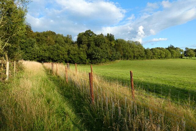
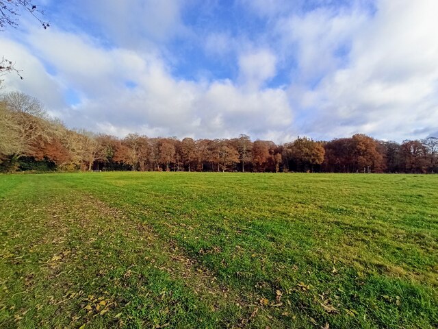
Greyhone Shaw is a picturesque woodland area located in the county of Oxfordshire, England. Situated in the heart of the county, it is a popular destination for nature enthusiasts and outdoor lovers alike. Covering an expansive area, Greyhone Shaw is known for its dense forest, towering trees, and diverse wildlife.
The woodland is characterized by its rich biodiversity, with a variety of plant and animal species calling it home. The lush greenery of the forest provides a serene and tranquil setting, making it an ideal spot for hiking, birdwatching, and photography. The woodland paths are well-maintained, allowing visitors to explore and immerse themselves in the natural surroundings.
Greyhone Shaw is also steeped in history, with evidence of human habitation dating back centuries. Archeological finds within the woodland have revealed remnants of ancient settlements, including tools and pottery from the Iron Age and Roman era. These findings offer a glimpse into the area's past and provide a sense of connection with those who once lived here.
In addition to its natural and historical significance, Greyhone Shaw offers a range of recreational facilities to visitors. There are picnic areas, designated camping spots, and trails suitable for cycling and horse riding. The forest is also a popular location for educational activities, with schools and organizations often organizing field trips to explore and learn about the local ecosystem.
Overall, Greyhone Shaw in Oxfordshire is a captivating woodland destination that combines natural beauty, historical significance, and recreational opportunities, making it a must-visit location for nature enthusiasts and history buffs alike.
If you have any feedback on the listing, please let us know in the comments section below.
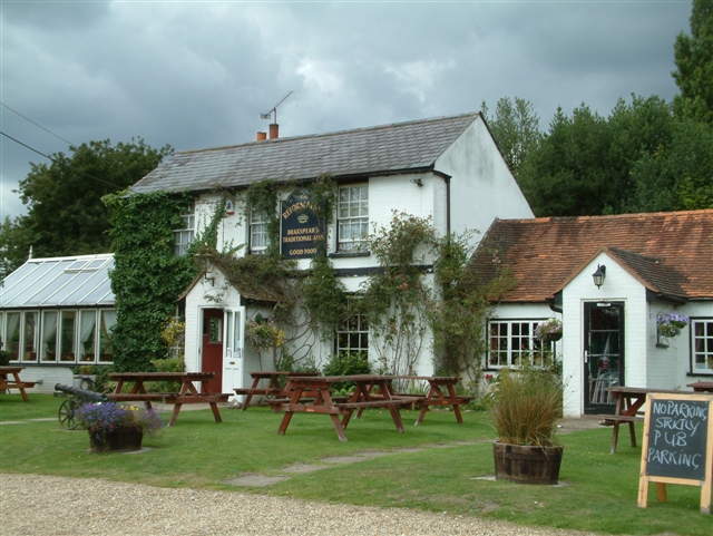
Greyhone Shaw Images
Images are sourced within 2km of 51.546002/-0.99229517 or Grid Reference SU6983. Thanks to Geograph Open Source API. All images are credited.


Greyhone Shaw is located at Grid Ref: SU6983 (Lat: 51.546002, Lng: -0.99229517)
Administrative County: Oxfordshire
District: South Oxfordshire
Police Authority: Thames Valley
What 3 Words
///toxic.condiment.cropping. Near Rotherfield Peppard, Oxfordshire
Nearby Locations
Related Wikis

Bear, Oveys and Great Bottom Woods
Bear, Oveys and Great Bottom Woods is a 64.1-hectare (158-acre) biological Site of Special Scientific Interest west of Henley-on-Thames in Oxfordshire...

Highmoor, Oxfordshire
Highmoor is a village and civil parish in the Chiltern Hills in Oxfordshire, about 4 miles (6.4 km) west of Henley-on-Thames. The parish includes the hamlet...

Stoke Row
Stoke Row is a village and civil parish in the Chiltern Hills, about 5 miles (8 km) west of Henley-on-Thames in South Oxfordshire and about 9 miles (14...

Wyfold Court
Wyfold Court is a country house at Rotherfield Peppard in south Oxfordshire. It is a Grade II* listed building. By the year 2000, the estate had been converted...
Gallowstree Common
Gallowstree Common is a hamlet in South Oxfordshire, England, about 4.5 miles (7.2 km) north of Reading, Berkshire. The village had a public house, the...

Greys Court
Greys Court is a Tudor country house and gardens in the southern Chiltern Hills at Rotherfield Greys, near Henley-on-Thames in the county of Oxfordshire...

Rotherfield Greys Castle
Rotherfield Greys Castle, initially known as Retherfield Castle, is a 14th-century fortified manor house built in Rotherfield Greys, Oxfordshire. Only...

Rotherfield Greys
Rotherfield Greys is a village and civil parish in the Chiltern Hills in South Oxfordshire. It is 2 miles (3 km) west of Henley-on-Thames and just over...
Related Videos
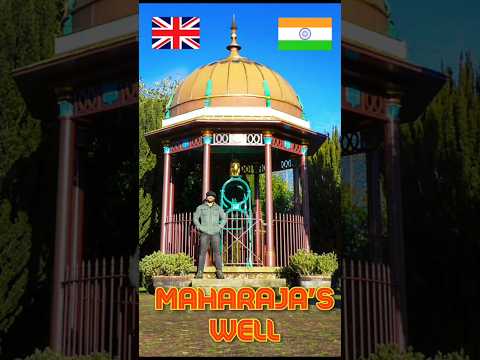
🇮🇳 MAHARAJAH'S WELL, Stoke Row (England)
In the centre of Stoke Row, high in the Chiltern Hills, is an incongruous sight, The Maharaja's Well. It's origin goes back to the ...
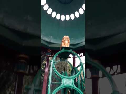
Maharajah's Well #travel #strangerthings #england
THANKS TO THE KINDNESS OF both an Englishman and his Indian benefactor, the Maharajah's Well in Stoke Row, England ...

Oxfordshire 3.9 mile circular walk: Checkendon
Checkendon: 3.9 mile circular walk ** one of our favouites ** Guided Walk: ...

Nearby Amenities
Located within 500m of 51.546002,-0.99229517Have you been to Greyhone Shaw?
Leave your review of Greyhone Shaw below (or comments, questions and feedback).