Greyhone Plantation
Wood, Forest in Oxfordshire South Oxfordshire
England
Greyhone Plantation

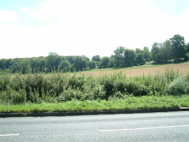
Greyhone Plantation is a picturesque woodland area located in Oxfordshire, England. Situated in the heart of the county, the plantation covers a vast expanse of land and is known for its dense forest and lush greenery. Spanning over several acres, Greyhone Plantation is a haven for nature lovers and outdoor enthusiasts alike.
The woodland is primarily composed of various species of trees, such as oak, beech, and birch, which create a diverse and vibrant ecosystem. These trees provide a natural habitat for a wide range of wildlife including deer, squirrels, and various species of birds. The plantation is also home to a number of rare and endangered plant species, making it an important conservation site.
Greyhone Plantation offers a network of walking trails and paths that wind through the forest, providing visitors with the opportunity to explore its natural beauty. These trails cater to all levels of fitness and offer breathtaking views of the surrounding landscape. The plantation is also equipped with picnic areas, making it an ideal spot for family outings and gatherings.
The plantation is open to the public year-round and is managed by the local forestry commission. Visitors are encouraged to respect the natural environment and adhere to designated areas for their safety. Greyhone Plantation is not only a scenic destination but also plays a vital role in preserving the local ecosystem and promoting environmental awareness.
If you have any feedback on the listing, please let us know in the comments section below.
Greyhone Plantation Images
Images are sourced within 2km of 51.544019/-0.99272833 or Grid Reference SU6983. Thanks to Geograph Open Source API. All images are credited.


Greyhone Plantation is located at Grid Ref: SU6983 (Lat: 51.544019, Lng: -0.99272833)
Administrative County: Oxfordshire
District: South Oxfordshire
Police Authority: Thames Valley
What 3 Words
///northward.petted.mealtime. Near Rotherfield Peppard, Oxfordshire
Nearby Locations
Related Wikis

Bear, Oveys and Great Bottom Woods
Bear, Oveys and Great Bottom Woods is a 64.1-hectare (158-acre) biological Site of Special Scientific Interest west of Henley-on-Thames in Oxfordshire...

Highmoor, Oxfordshire
Highmoor is a village and civil parish in the Chiltern Hills in Oxfordshire, about 4 miles (6.4 km) west of Henley-on-Thames. The parish includes the hamlet...

Stoke Row
Stoke Row is a village and civil parish in the Chiltern Hills, about 5 miles (8 km) west of Henley-on-Thames in South Oxfordshire and about 9 miles (14...

Wyfold Court
Wyfold Court is a country house at Rotherfield Peppard in south Oxfordshire. It is a Grade II* listed building. By the year 2000, the estate had been converted...
Gallowstree Common
Gallowstree Common is a hamlet in South Oxfordshire, England, about 4.5 miles (7.2 km) north of Reading, Berkshire. The village had a public house, the...

Greys Court
Greys Court is a Tudor country house and gardens in the southern Chiltern Hills at Rotherfield Greys, near Henley-on-Thames in the county of Oxfordshire...

Rotherfield Greys Castle
Rotherfield Greys Castle, initially known as Retherfield Castle, is a 14th-century fortified manor house built in Rotherfield Greys, Oxfordshire. Only...

Rotherfield Greys
Rotherfield Greys is a village and civil parish in the Chiltern Hills in South Oxfordshire. It is 2 miles (3 km) west of Henley-on-Thames and just over...
Nearby Amenities
Located within 500m of 51.544019,-0.99272833Have you been to Greyhone Plantation?
Leave your review of Greyhone Plantation below (or comments, questions and feedback).