Bevercotes Park
Wood, Forest in Nottinghamshire Bassetlaw
England
Bevercotes Park

Bevercotes Park, located in Nottinghamshire, England, is a picturesque woodland area that spans over a vast expanse of land. Covering an area of approximately 160 hectares, the park is predominantly composed of dense forest and woodland, making it a haven for nature enthusiasts and outdoor adventurers.
The park is home to a diverse range of flora and fauna, with towering trees, vibrant wildflowers, and a variety of animal species that call this natural habitat their home. The woodlands are dominated by oak, birch, and pine trees, providing a lush and tranquil environment for visitors to explore.
Bevercotes Park offers a plethora of recreational activities for visitors of all ages. There are numerous walking trails and paths that wind through the forest, allowing visitors to immerse themselves in the beauty of nature while enjoying a leisurely stroll. These trails also cater to cyclists and horse riders, providing a diverse range of options for outdoor enthusiasts.
For those seeking a more adventurous experience, the park offers opportunities for orienteering, geocaching, and birdwatching. The park is home to a wide range of bird species, including woodpeckers, owls, and various songbirds, making it a popular destination for birdwatchers.
Overall, Bevercotes Park in Nottinghamshire is a true gem for nature lovers. Its expansive woodland, diverse wildlife, and range of recreational activities make it an ideal destination for anyone seeking to escape the hustle and bustle of city life and immerse themselves in the tranquility of the natural world.
If you have any feedback on the listing, please let us know in the comments section below.
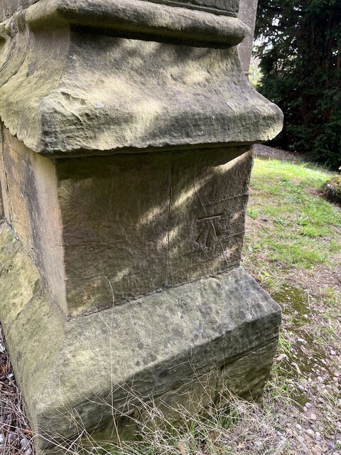
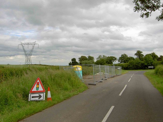
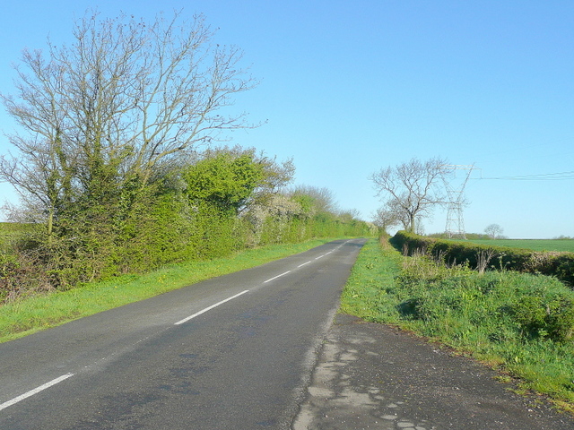
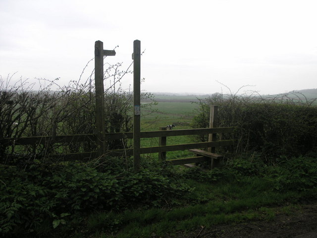
Bevercotes Park Images
Images are sourced within 2km of 53.229344/-0.95328408 or Grid Reference SK6970. Thanks to Geograph Open Source API. All images are credited.


Bevercotes Park is located at Grid Ref: SK6970 (Lat: 53.229344, Lng: -0.95328408)
Administrative County: Nottinghamshire
District: Bassetlaw
Police Authority: Nottinghamshire
What 3 Words
///tinted.staining.bottled. Near Boughton, Nottinghamshire
Nearby Locations
Related Wikis
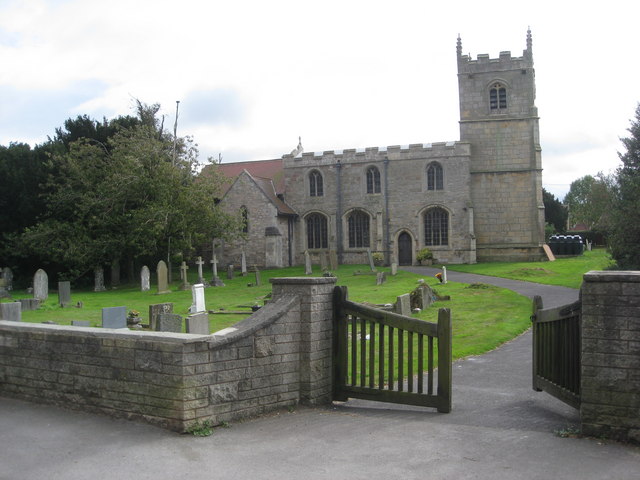
St Edmund's Church, Walesby
St Edmund's Church, Walesby is a Grade II* listed parish church in the Church of England in Walesby, Nottinghamshire. == History == The church was built...

Kirton, Nottinghamshire
Kirton is a village in Nottinghamshire, England. It is located 3 miles (4.8 km) east of Ollerton. According to the United Kingdom Census 2001 it had a...
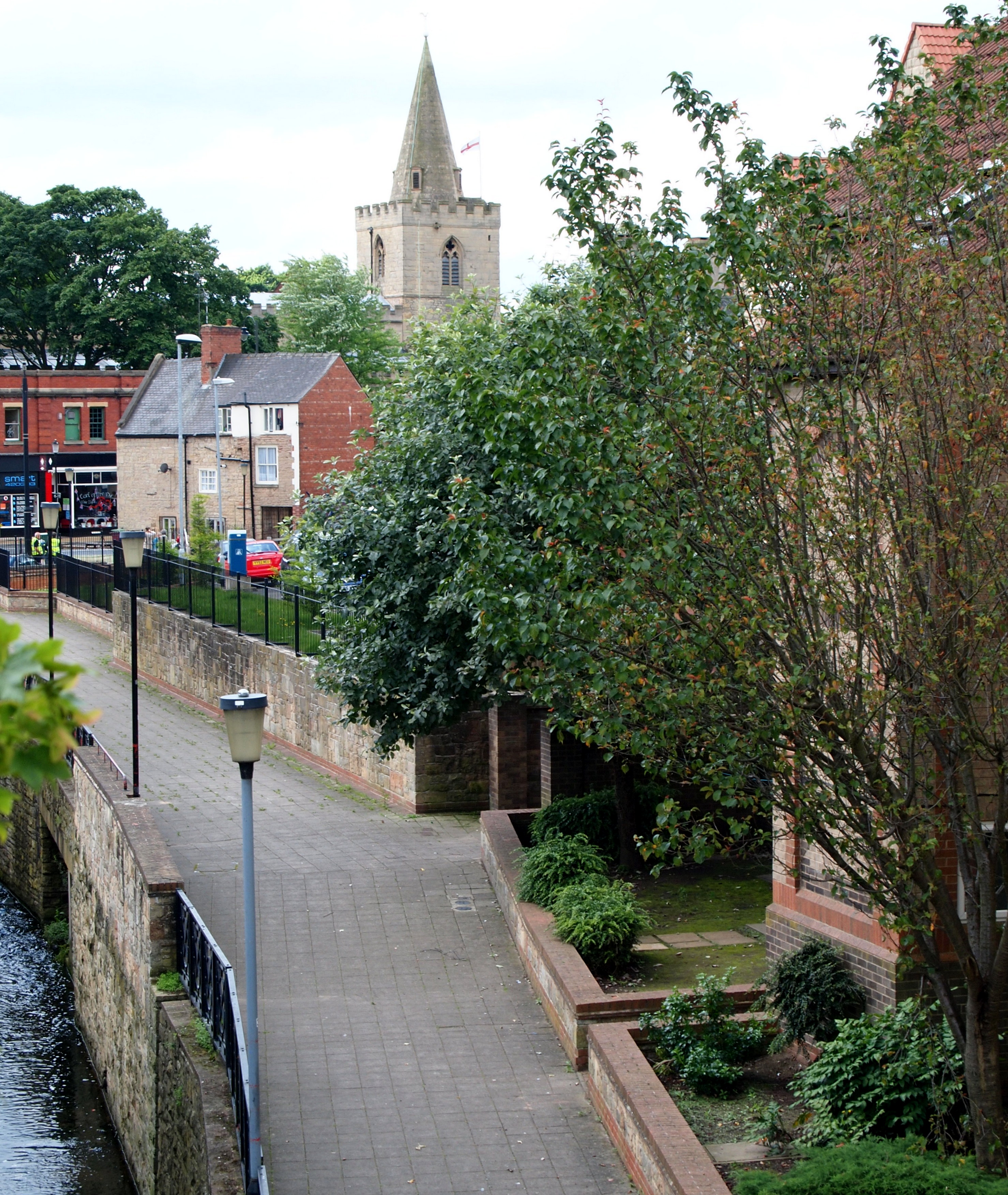
Holy Trinity Church, Kirton
Holy Trinity Church, Kirton is a Grade II* listed parish church in the Church of England in Kirton, Nottinghamshire. == History == The church dates from...

Bevercotes
Bevercotes is a hamlet and civil parish in the Bassetlaw district of Nottinghamshire, England, about six miles south of East Retford and five miles north...

Walesby, Nottinghamshire
Walesby is a village and civil parish in Nottinghamshire, England. At the time of the 2001 census it had a population of 1,255 people, increasing slightly...

Lound Hall
Lound Hall is a country house which sits in between the villages of Bothamsall and Bevercotes, in the county of Nottinghamshire, England. The current house...
River Maun
The River Maun is a river in Nottinghamshire, England. Its source lies in Kirkby-in-Ashfield, and from there it flows north east through Mansfield (which...
Bothamsall
Bothamsall is a village and civil parish in the Bassetlaw district of Nottinghamshire, England. According to the United Kingdom Census 2001 it had a population...
Have you been to Bevercotes Park?
Leave your review of Bevercotes Park below (or comments, questions and feedback).