Whitewater Covert
Wood, Forest in Nottinghamshire Newark and Sherwood
England
Whitewater Covert
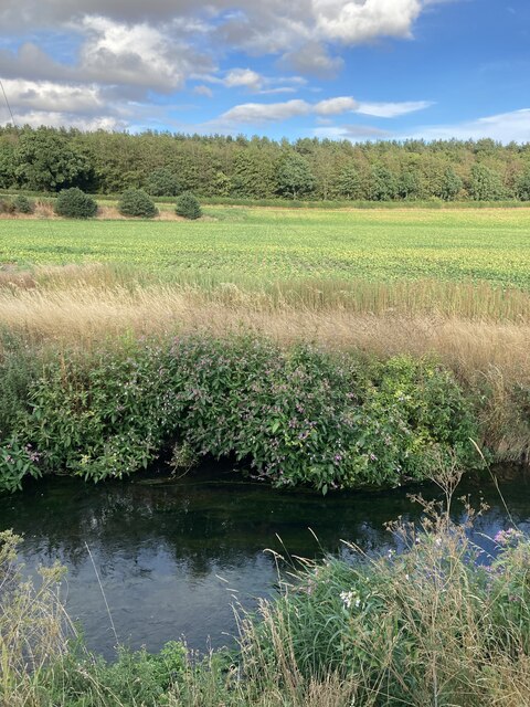
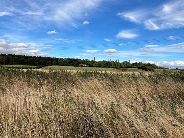
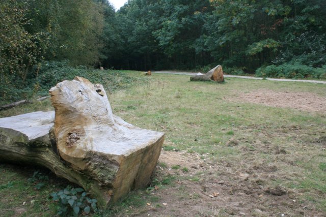
Whitewater Covert is a picturesque woodland located in Nottinghamshire, England. Situated in the heart of Sherwood Forest, this enchanting area spans approximately 200 acres and is renowned for its natural beauty and rich history.
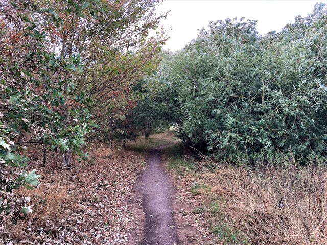
The woodland is characterized by its dense canopy of ancient oak trees, which provide a tranquil and serene atmosphere. Walking through Whitewater Covert, visitors can admire the vibrant colors of wildflowers that dot the forest floor, creating a stunning contrast against the lush green surroundings.
This area holds great significance in English folklore, as it is believed to be the legendary hiding place of the famous outlaw, Robin Hood. The forest's association with this iconic figure has attracted tourists from all around the world, who come to immerse themselves in the tales of Sherwood Forest.
Whitewater Covert offers a range of recreational activities for visitors to enjoy. Nature enthusiasts can explore the well-maintained walking trails, which wind through the forest and provide opportunities for wildlife spotting. Birdwatchers will also find themselves in paradise, with the woodland being home to a diverse range of avian species.
For those looking to delve into the area's history, there are several historical sites to explore within Whitewater Covert. These include the remains of medieval hunting lodges and the famous Major Oak, a colossal oak tree said to have been Robin Hood's shelter. Guided tours are available for visitors interested in learning more about the forest's past.
Overall, Whitewater Covert is a captivating destination that offers a blend of natural beauty, historical significance, and recreational opportunities. Whether you're a nature lover, a history buff, or simply seeking a peaceful retreat, this woodland sanctuary is sure to leave a lasting impression.
If you have any feedback on the listing, please let us know in the comments section below.
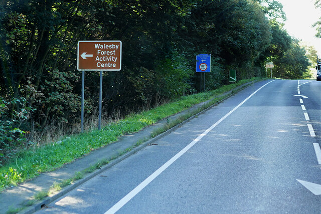
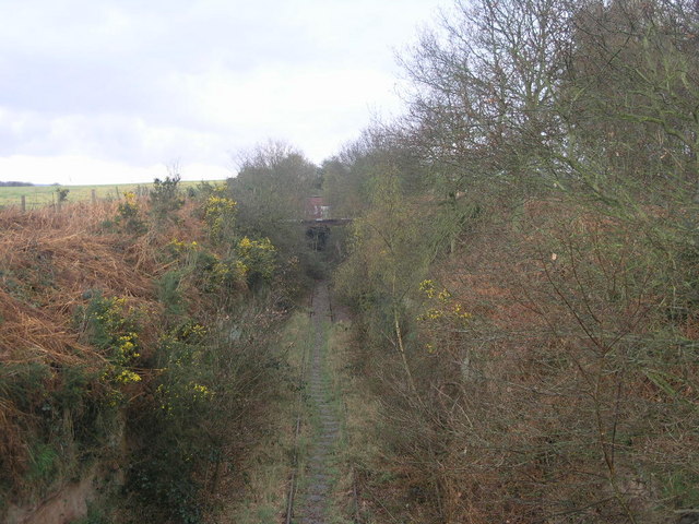
Whitewater Covert Images
Images are sourced within 2km of 53.225188/-1.0021274 or Grid Reference SK6670. Thanks to Geograph Open Source API. All images are credited.


Whitewater Covert is located at Grid Ref: SK6670 (Lat: 53.225188, Lng: -1.0021274)
Administrative County: Nottinghamshire
District: Newark and Sherwood
Police Authority: Nottinghamshire
What 3 Words
///shorthand.gangs.creamed. Near New Ollerton, Nottinghamshire
Nearby Locations
Related Wikis

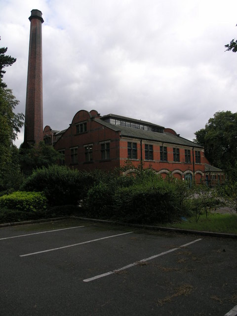
Boughton Pumping Station
Boughton Pumping Station was a water pumping station near New Ollerton in Nottinghamshire, operating from 1905. After closure it became a commercial hospitality...

Walesby, Nottinghamshire
Walesby is a village and civil parish in Nottinghamshire, England. At the time of the 2001 census it had a population of 1,255 people, increasing slightly...

The Dukeries Academy
The Dukeries Academy (formerly The Dukeries Comprehensive School and then The Dukeries College and Complex) is a secondary school, community college situated...
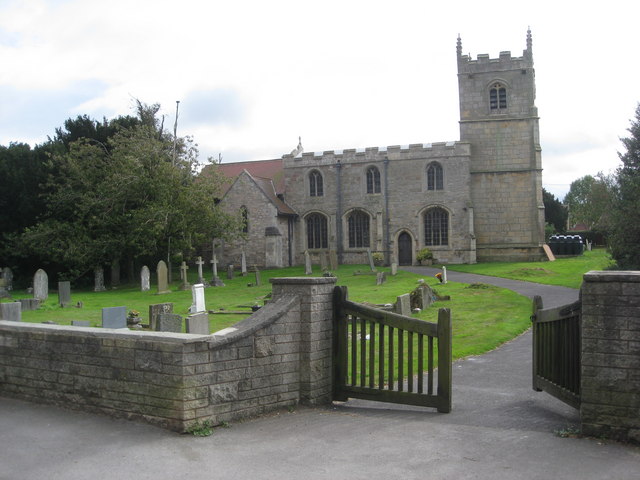
St Edmund's Church, Walesby
St Edmund's Church, Walesby is a Grade II* listed parish church in the Church of England in Walesby, Nottinghamshire. == History == The church was built...
Nearby Amenities
Located within 500m of 53.225188,-1.0021274Have you been to Whitewater Covert?
Leave your review of Whitewater Covert below (or comments, questions and feedback).