Alsfordmoor Coppice
Wood, Forest in Hampshire Winchester
England
Alsfordmoor Coppice

Alsfordmoor Coppice is a beautiful woodland located in Hampshire, England. Covering an area of approximately 50 acres, it is a popular destination for nature lovers and outdoor enthusiasts. The coppice is situated near the village of Alsford and is easily accessible by foot or car.
The woodland consists predominantly of oak and beech trees, creating a dense and lush forest environment. It is home to a diverse range of flora and fauna, including bluebells, wild garlic, and various species of birds, mammals, and insects. The tranquil atmosphere and the abundance of wildlife make it a perfect spot for birdwatching and nature photography.
The coppice is crisscrossed by a network of footpaths, allowing visitors to explore the area and enjoy its natural beauty. The paths are well-maintained and clearly marked, making it easy for visitors to navigate through the woodland. There are also picnic areas and benches strategically placed throughout the coppice, providing visitors with the opportunity to relax and enjoy a meal amidst the picturesque surroundings.
Alsfordmoor Coppice is not only a haven for nature enthusiasts but also serves as an important conservation area. The management of the coppice follows sustainable forestry practices, ensuring the long-term preservation of the woodland and its inhabitants.
Overall, Alsfordmoor Coppice offers a serene and idyllic escape from the hustle and bustle of everyday life. Whether you are seeking a peaceful walk in nature or hoping to spot some unique wildlife, this woodland is a must-visit destination in Hampshire.
If you have any feedback on the listing, please let us know in the comments section below.
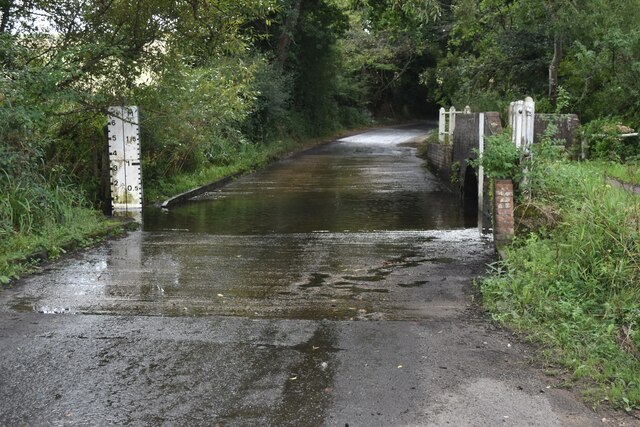
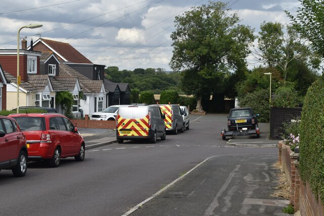
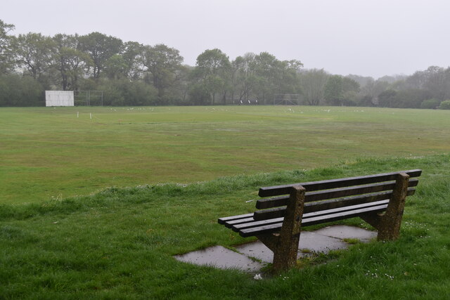
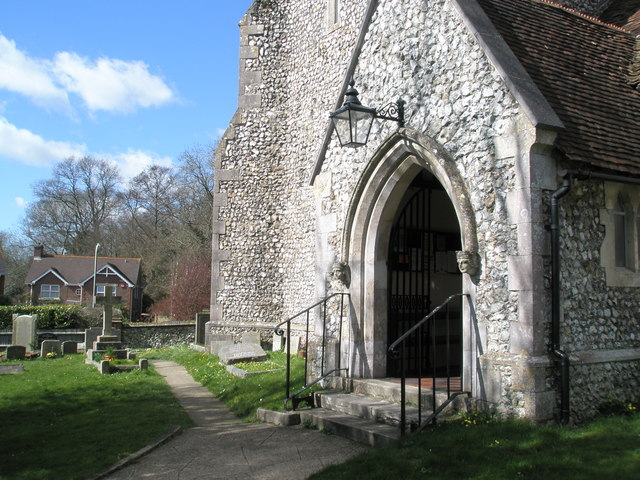
Alsfordmoor Coppice Images
Images are sourced within 2km of 50.870828/-1.0532083 or Grid Reference SU6608. Thanks to Geograph Open Source API. All images are credited.


Alsfordmoor Coppice is located at Grid Ref: SU6608 (Lat: 50.870828, Lng: -1.0532083)
Administrative County: Hampshire
District: Winchester
Police Authority: Hampshire
What 3 Words
///wizard.images.pool. Near Waterlooville, Hampshire
Nearby Locations
Related Wikis

Purbrook Heath
Purbrook Heath is a hamlet in the civil parish of Purbrook in the Havant district of Hampshire, England. Its nearest town is Waterlooville, which lies...
Southwick and Widley
Southwick and Widley is a civil parish in the English county of Hampshire forming part of the area administered as the City of Winchester. It comprises...
Purbrook
Purbrook is a village and local government sub-division located in Hampshire, England. Purbrook is on the outskirts of Waterlooville just north of the...
Widley
Widley is an area of the Greater Portsmouth conurbation in the South East of England near Waterlooville and Purbrook. It is on the dip slope of the South...
Purbrook Park School
Purbrook Park School is a comprehensive co-educational secondary school situated in Purbrook, north of Portsmouth, Hampshire. The school has an enrollment...
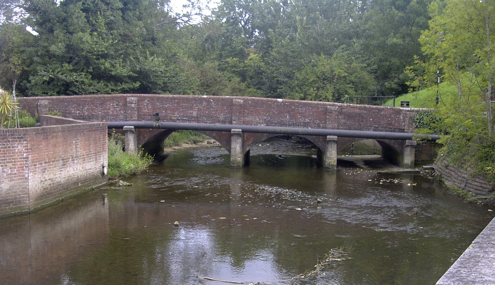
River Wallington
The River Wallington curves and gently meanders west then south in south-east Hampshire. Rising at sources to north and south of Waterlooville these flow...

Waterlooville
Waterlooville is a town in the Borough of Havant in Hampshire, England, approximately 6 miles (9.7 km) north northeast of Portsmouth. It is the largest...
Crookhorn College
Crookhorn College is a coeducational foundation secondary school, located in Waterlooville in the English county of Hampshire.It is administered by Hampshire...
Nearby Amenities
Located within 500m of 50.870828,-1.0532083Have you been to Alsfordmoor Coppice?
Leave your review of Alsfordmoor Coppice below (or comments, questions and feedback).