Whitewater Wood
Wood, Forest in Nottinghamshire Newark and Sherwood
England
Whitewater Wood

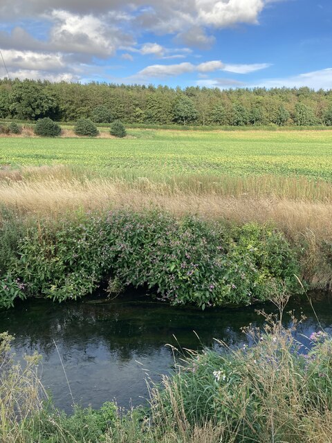
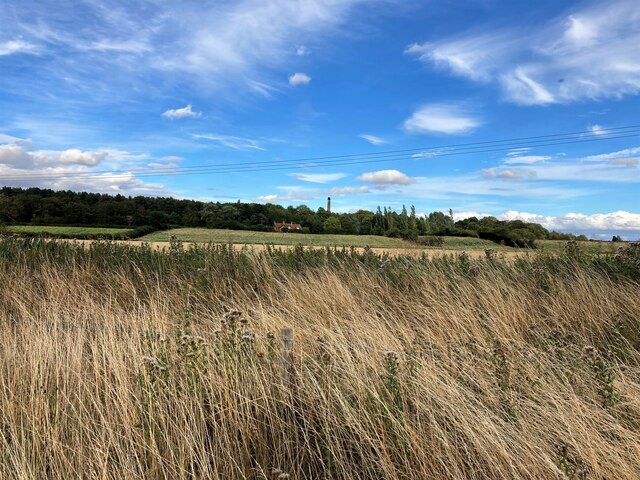
Whitewater Wood is a picturesque forest located in Nottinghamshire, England. Covering an area of approximately 500 acres, it is known for its natural beauty and diverse wildlife. The wood is situated near the village of Whitewater, adding to its charm and accessibility for visitors.
The forest is predominantly composed of deciduous trees, including oak, beech, and birch, which create a stunning canopy during the summer months. This lush vegetation provides a habitat for a wide range of animals, making it a popular spot for nature enthusiasts and birdwatchers. Visitors may be lucky enough to spot various bird species, such as woodpeckers, owls, and songbirds, as well as small mammals like foxes, rabbits, and squirrels.
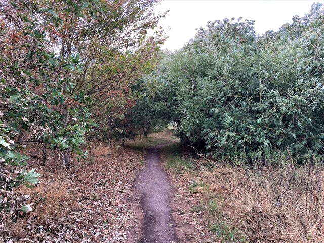
Whitewater Wood offers a network of well-maintained footpaths and trails, allowing visitors to explore the forest at their leisure. These paths wind through the woodland, providing opportunities for peaceful walks and invigorating hikes. The wood also features a picnic area, where visitors can enjoy a leisurely lunch amidst the tranquil surroundings.
Furthermore, Whitewater Wood is home to an abundance of wildflowers, adding vibrant pops of color throughout the forest. Bluebells, primroses, and wild garlic are just a few examples of the beautiful flora that can be found here.
Overall, Whitewater Wood is a haven for nature lovers, offering a serene escape from the hustle and bustle of everyday life. With its stunning scenery, diverse wildlife, and well-maintained trails, it is a delightful destination for anyone seeking a peaceful retreat in the heart of Nottinghamshire.
If you have any feedback on the listing, please let us know in the comments section below.
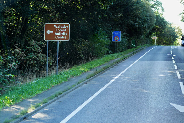
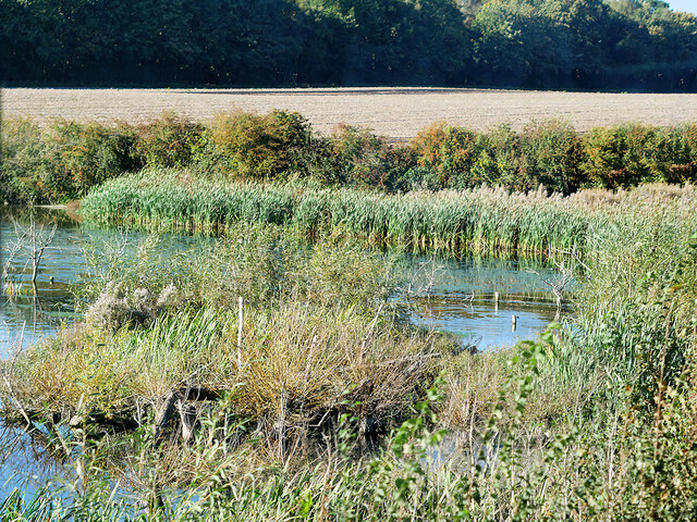
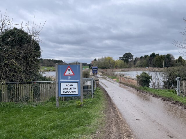
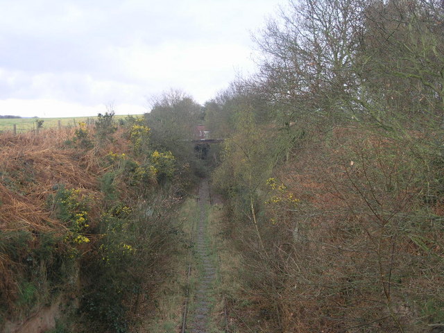
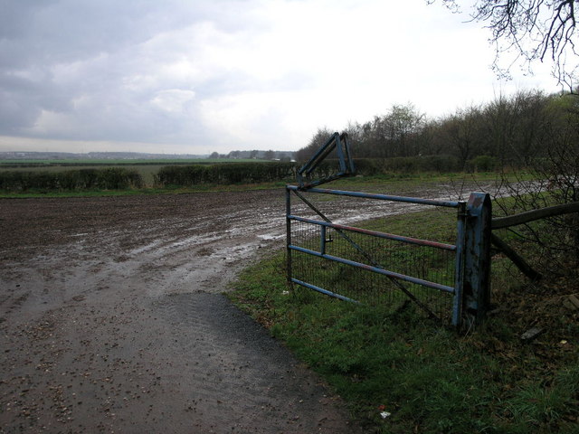
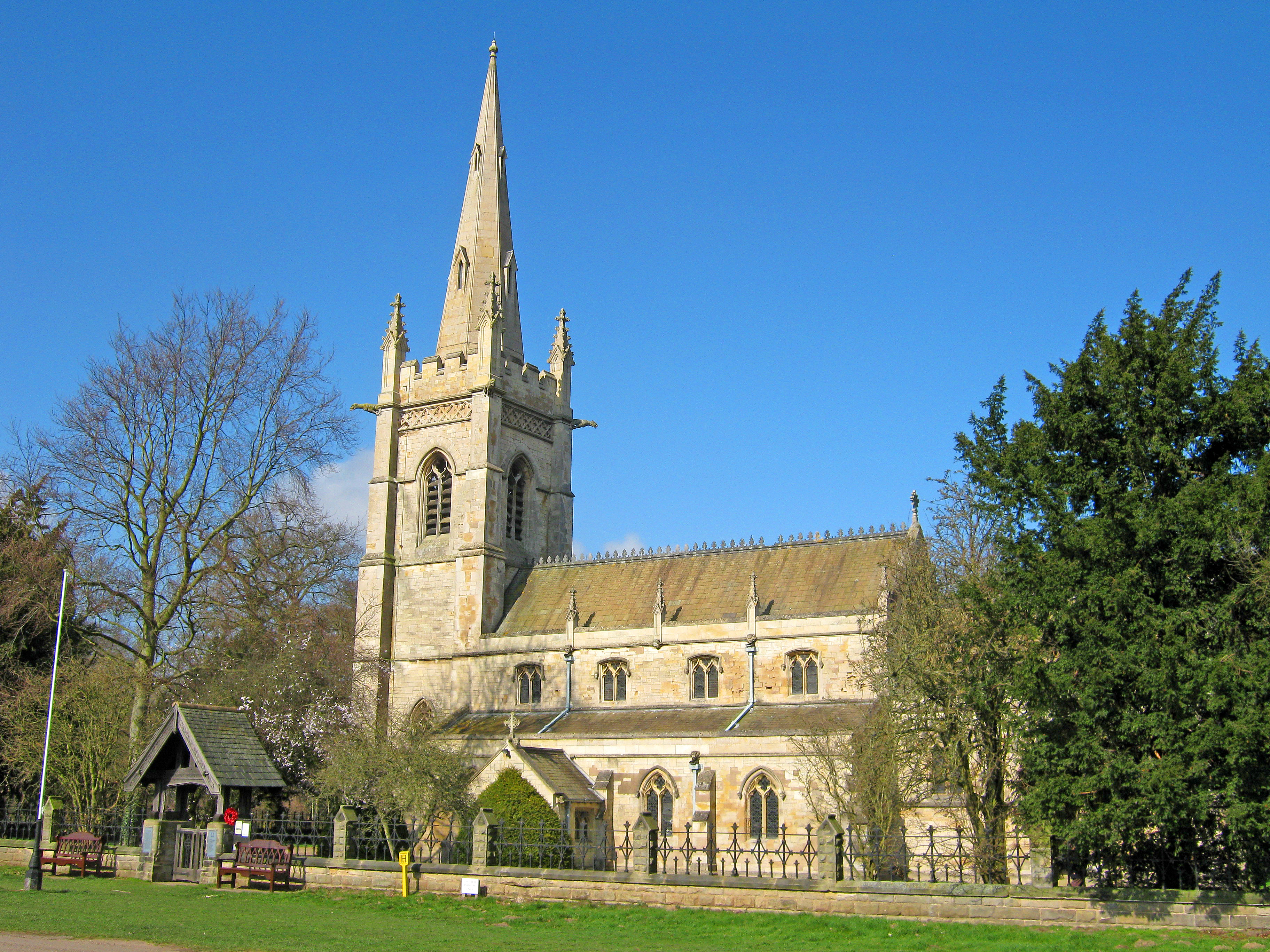
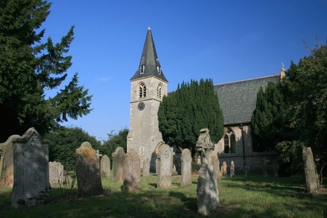
Whitewater Wood Images
Images are sourced within 2km of 53.226697/-1.0084886 or Grid Reference SK6670. Thanks to Geograph Open Source API. All images are credited.


Whitewater Wood is located at Grid Ref: SK6670 (Lat: 53.226697, Lng: -1.0084886)
Administrative County: Nottinghamshire
District: Newark and Sherwood
Police Authority: Nottinghamshire
What 3 Words
///hammocks.goodness.name. Near New Ollerton, Nottinghamshire
Nearby Locations
Related Wikis

Boughton Pumping Station
Boughton Pumping Station was a water pumping station near New Ollerton in Nottinghamshire, operating from 1905. After closure it became a commercial hospitality...
Perlethorpe
Perlethorpe is a small village and former civil parish, now in the parish of Perlethorpe cum Budby, in the Newark and Sherwood district, in the county...

Walesby, Nottinghamshire
Walesby is a village and civil parish in Nottinghamshire, England. At the time of the 2001 census it had a population of 1,255 people, increasing slightly...

The Dukeries Academy
The Dukeries Academy (formerly The Dukeries Comprehensive School and then The Dukeries College and Complex) is a secondary school, community college situated...
Ollerton Town F.C.
Ollerton Town Football Club is a football club based in Ollerton, Nottinghamshire, England. The men's team play in the Northern Counties East League Division...
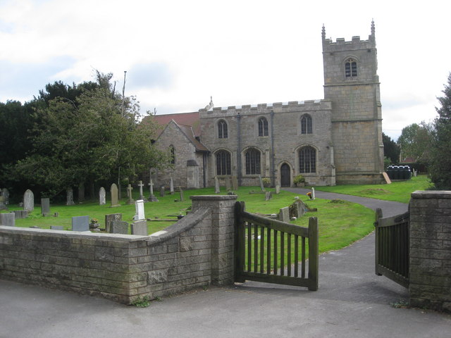
St Edmund's Church, Walesby
St Edmund's Church, Walesby is a Grade II* listed parish church in the Church of England in Walesby, Nottinghamshire. == History == The church was built...
Ollerton and Boughton
Ollerton and Boughton is a civil parish in the Newark and Sherwood district of Nottinghamshire, England. The main settlements are the town of Ollerton...

St Paulinus' Church, New Ollerton
St Paulinus’ Church, Ollerton is a Grade II listed parish church of the Church of England in Ollerton. == History == The church dates from 1931 and was...
Nearby Amenities
Located within 500m of 53.226697,-1.0084886Have you been to Whitewater Wood?
Leave your review of Whitewater Wood below (or comments, questions and feedback).