Chapel Wood
Wood, Forest in Nottinghamshire Newark and Sherwood
England
Chapel Wood
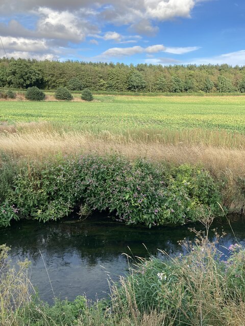
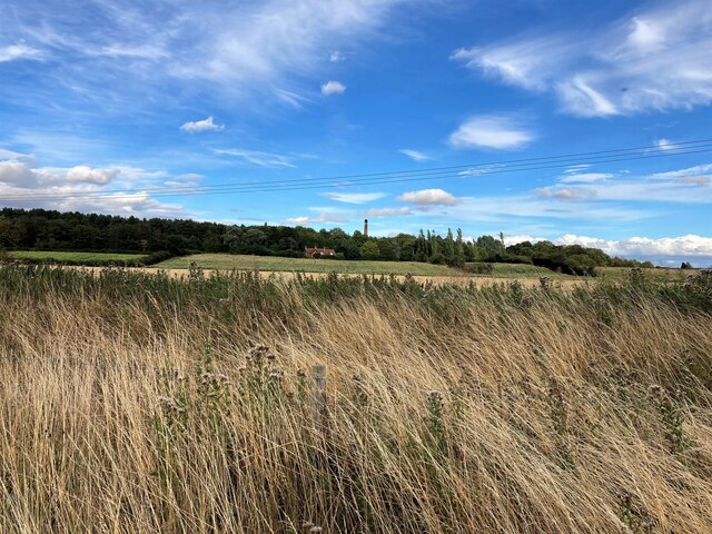
Chapel Wood is a picturesque forest located in Nottinghamshire, England. It covers an area of approximately 200 acres and is known for its rich biodiversity and tranquil atmosphere. The wood is situated near the village of Chapel-en-le-Frith, which lies on the edge of the Peak District National Park.
The forest is primarily composed of broadleaf trees, including oak, beech, and birch. These towering trees create a dense canopy, providing shade and shelter for a variety of wildlife. Visitors to Chapel Wood can expect to encounter numerous bird species, such as woodpeckers, nuthatches, and thrushes, as well as small mammals like squirrels and foxes.
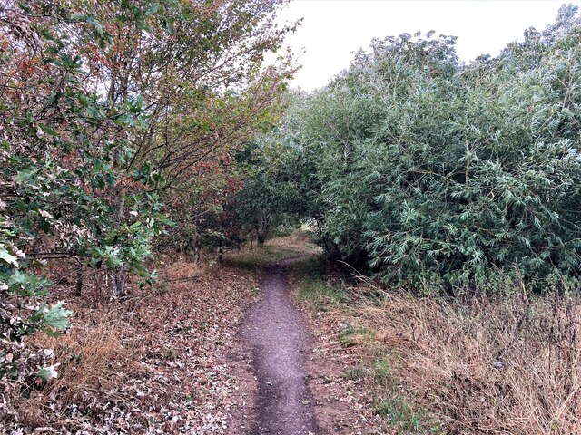
The forest is crisscrossed by a network of well-maintained footpaths, making it an ideal location for walkers and nature enthusiasts. These trails allow visitors to explore the wood at their own pace, immersing themselves in the sights and sounds of nature. The wood is particularly popular during the spring and summer months when wildflowers carpet the forest floor, creating a vibrant display of colors.
Chapel Wood also holds historical and cultural significance. The name "Chapel" refers to the presence of a small chapel that once stood within the wood. Although the chapel no longer exists, its remnants can still be found, adding an element of intrigue to the forest.
Overall, Chapel Wood offers a peaceful retreat from the hustle and bustle of city life. Its natural beauty, diverse wildlife, and tranquil atmosphere make it an appealing destination for those seeking a connection with nature.
If you have any feedback on the listing, please let us know in the comments section below.
Chapel Wood Images
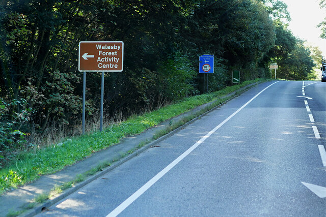
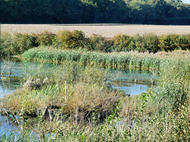
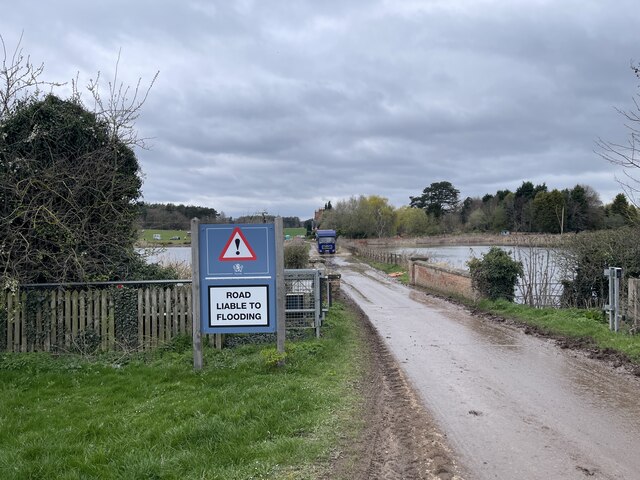
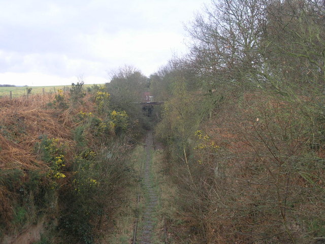
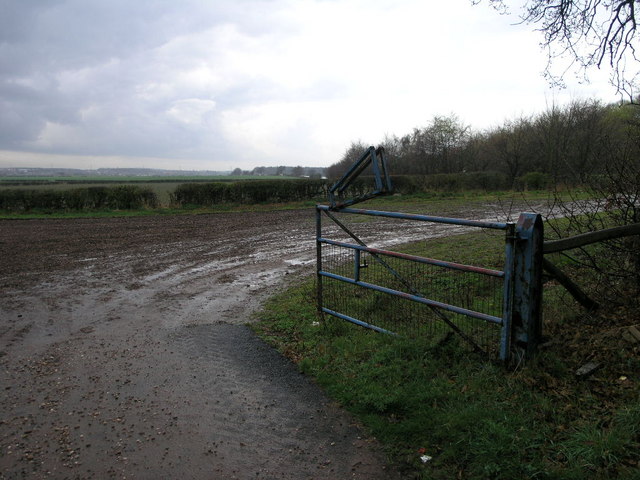
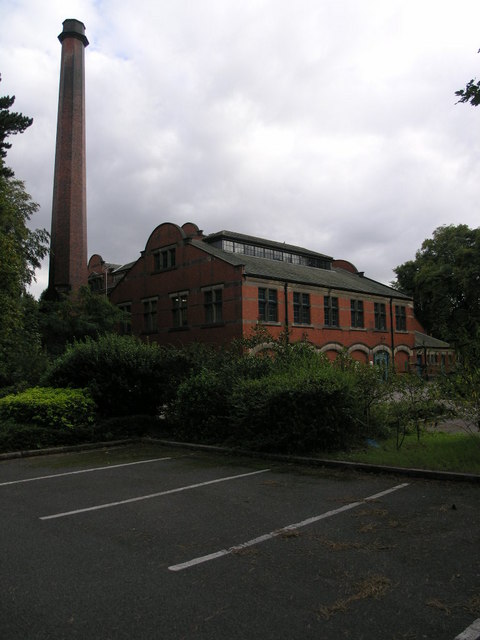
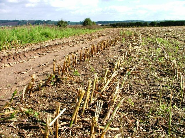
Images are sourced within 2km of 53.228414/-1.0020824 or Grid Reference SK6670. Thanks to Geograph Open Source API. All images are credited.


Chapel Wood is located at Grid Ref: SK6670 (Lat: 53.228414, Lng: -1.0020824)
Administrative County: Nottinghamshire
District: Newark and Sherwood
Police Authority: Nottinghamshire
What 3 Words
///plastic.relieves.present. Near New Ollerton, Nottinghamshire
Nearby Locations
Related Wikis

Boughton Pumping Station
Boughton Pumping Station was a water pumping station near New Ollerton in Nottinghamshire, operating from 1905. After closure it became a commercial hospitality...

Walesby, Nottinghamshire
Walesby is a village and civil parish in Nottinghamshire, England. At the time of the 2001 census it had a population of 1,255 people, increasing slightly...
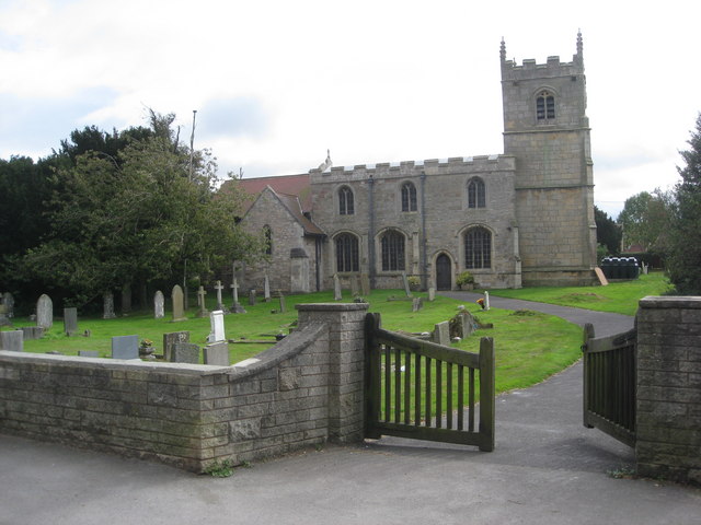
St Edmund's Church, Walesby
St Edmund's Church, Walesby is a Grade II* listed parish church in the Church of England in Walesby, Nottinghamshire. == History == The church was built...
Perlethorpe
Perlethorpe is a small village and former civil parish, now in the parish of Perlethorpe cum Budby, in the Newark and Sherwood district, in the county...
Nearby Amenities
Located within 500m of 53.228414,-1.0020824Have you been to Chapel Wood?
Leave your review of Chapel Wood below (or comments, questions and feedback).