Ashley's Wood
Wood, Forest in Oxfordshire South Oxfordshire
England
Ashley's Wood
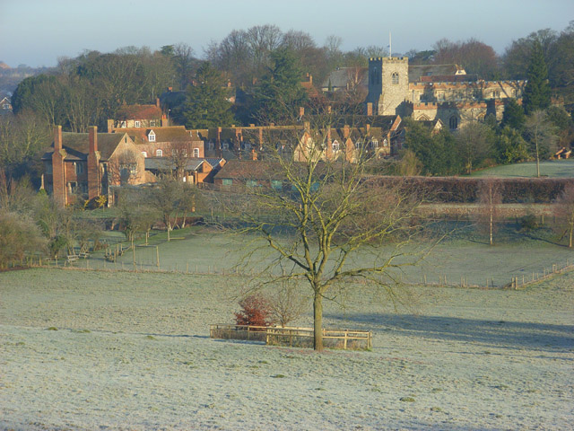
Ashley's Wood is a picturesque forest located in Oxfordshire, England. Covering an area of approximately 200 acres, this woodland is a popular destination for nature lovers and outdoor enthusiasts. The wood is situated near the village of Ashley, just a short drive from the city of Oxford.
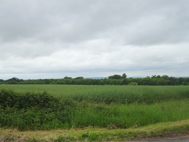
The woodland is characterized by its dense canopy of towering trees, primarily consisting of oak, beech, and ash. These majestic trees provide a habitat for a diverse range of flora and fauna, making it a haven for wildlife. Visitors can expect to spot a variety of bird species, small mammals, and even rare insects within the wood.
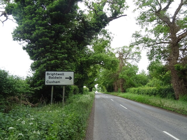
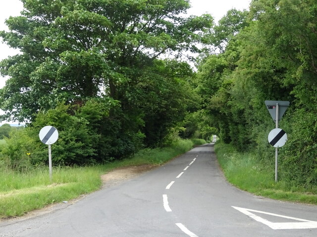
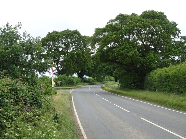
Ashley's Wood offers a network of well-maintained trails and footpaths that wind through the forest, allowing visitors to explore its natural beauty at their own pace. These paths vary in difficulty, catering to both casual walkers and more experienced hikers. Along the way, walkers can enjoy stunning views of the surrounding countryside, meandering streams, and peaceful glades.
The wood is also home to a number of historical sites, including the remnants of an ancient Roman road that once passed through the area. Archaeological evidence suggests that the wood has been inhabited for centuries, and there are several old stone structures scattered throughout, adding to its charm and intrigue.
Overall, Ashley's Wood is a tranquil and enchanting destination that offers a peaceful retreat from the bustling city life. Whether it's for a leisurely stroll, a picnic, or an exploration of its natural and historical wonders, this woodland has something to offer for everyone.
If you have any feedback on the listing, please let us know in the comments section below.
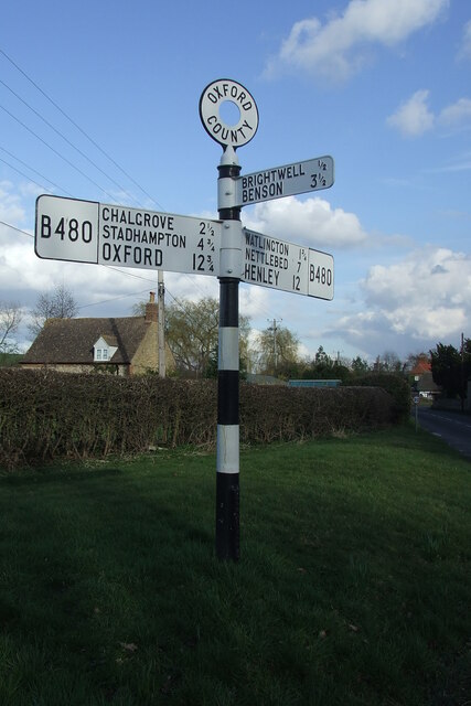
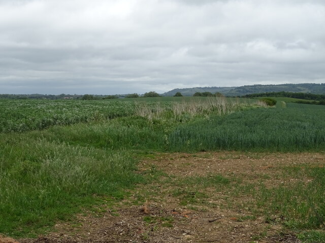
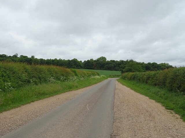
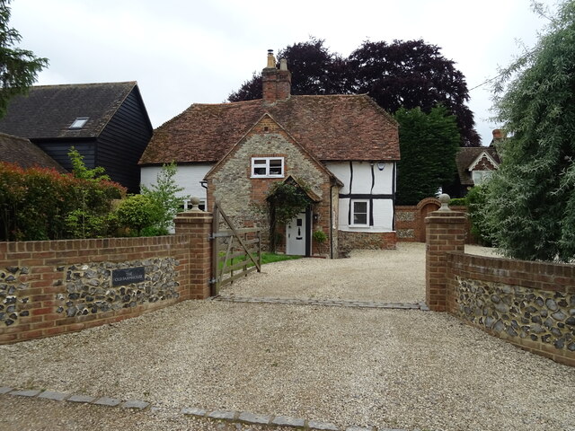
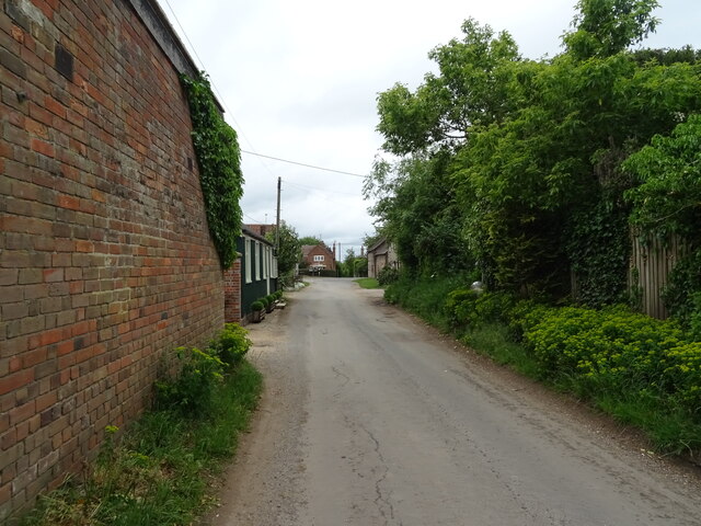
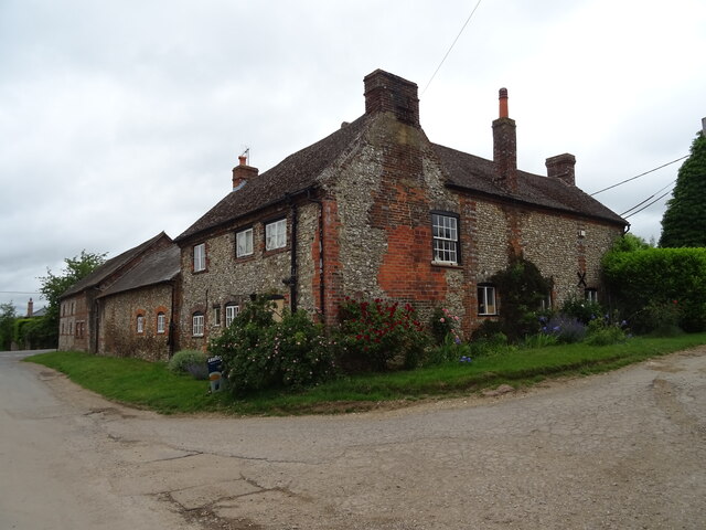
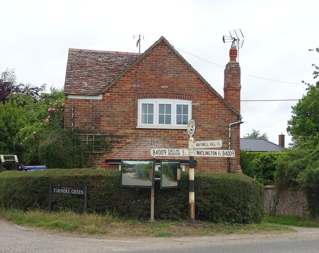
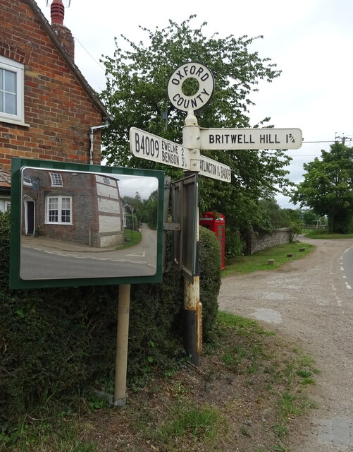
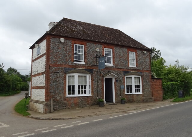
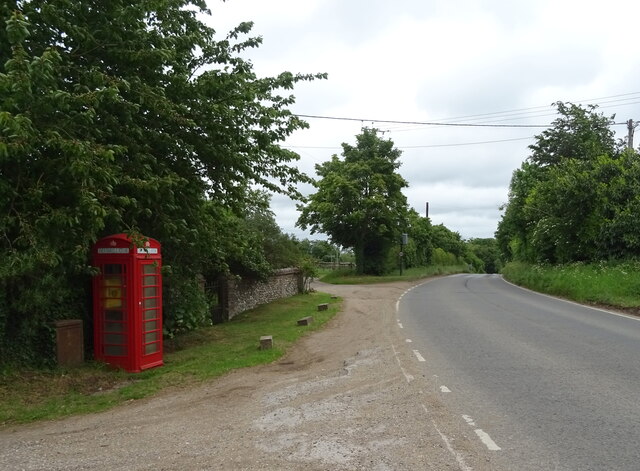
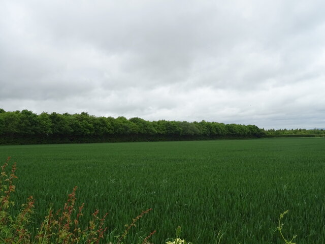
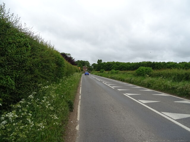
Ashley's Wood Images
Images are sourced within 2km of 51.634864/-1.0435588 or Grid Reference SU6693. Thanks to Geograph Open Source API. All images are credited.

Ashley's Wood is located at Grid Ref: SU6693 (Lat: 51.634864, Lng: -1.0435588)
Administrative County: Oxfordshire
District: South Oxfordshire
Police Authority: Thames Valley
What 3 Words
///hairspray.cosmetic.dividers. Near Watlington, Oxfordshire
Nearby Locations
Related Wikis

Britwell Salome
Britwell Salome is a village and civil parish in South Oxfordshire, England centred 4+1⁄2 miles (7 km) northeast of Wallingford. The 2011 Census recorded...

Henley (UK Parliament constituency)
Henley is a constituency in Oxfordshire represented in the House of Commons of the UK Parliament since 2008 by John Howell, a Member of Parliament from...

South Oxfordshire
South Oxfordshire is a local government district in the ceremonial county of Oxfordshire, England. Its council is temporarily based outside the district...

Cuxham
Cuxham is a village and former civil parish, now in the parish of Cuxham with Easington, in the South Oxfordshire district, in the county of Oxfordshire...

Brightwell Baldwin
Brightwell Baldwin is a village and civil parish in Oxfordshire, about 4+1⁄2 miles (7 km) northeast of Wallingford. It was historically in the Hundred...
Ewelme
Ewelme () is a village and civil parish in the Chiltern Hills in South Oxfordshire, 2.5 miles (4 km) north-east of the market town of Wallingford. The...

Swyncombe Downs
Swyncombe Downs is a 47.1-hectare (116-acre) biological Site of Special Scientific Interest east of Wallingford in Oxfordshire.This is an area of chalk...
Watlington, Oxfordshire
Watlington is a small market town and civil parish about 7 miles (11 km) south of Thame in Oxfordshire, near the county's eastern edge and less than 2...
Nearby Amenities
Located within 500m of 51.634864,-1.0435588Have you been to Ashley's Wood?
Leave your review of Ashley's Wood below (or comments, questions and feedback).