Ashfold Crossway
Settlement in Sussex Horsham
England
Ashfold Crossway
Ashfold Crossway is a small hamlet located in the county of Sussex, England. Situated approximately 10 miles southeast of the historic town of Horsham, it is nestled amidst the picturesque countryside of the South Downs. The hamlet is part of the civil parish of Ashurst, and falls within the district of Horsham.
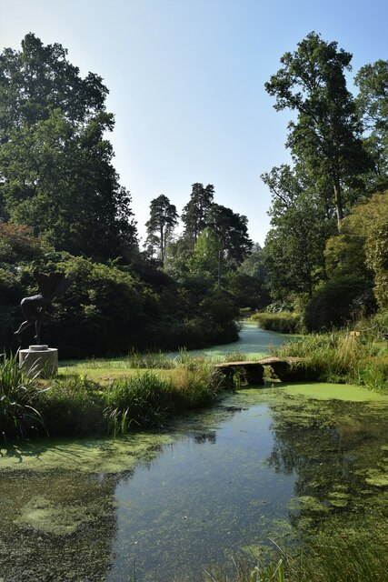
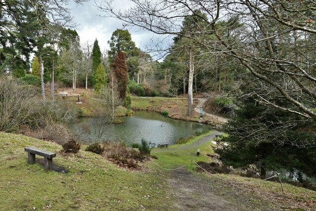
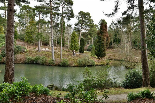
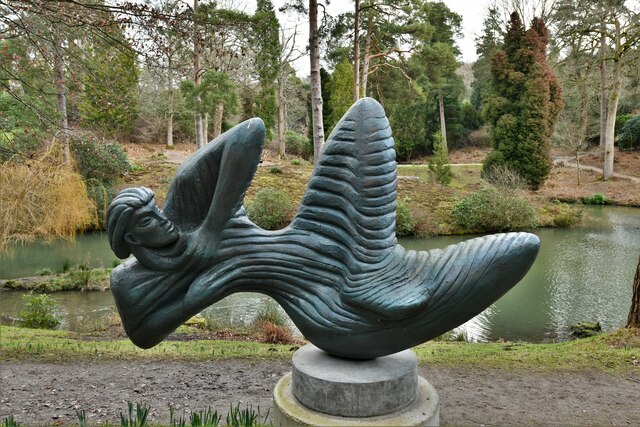
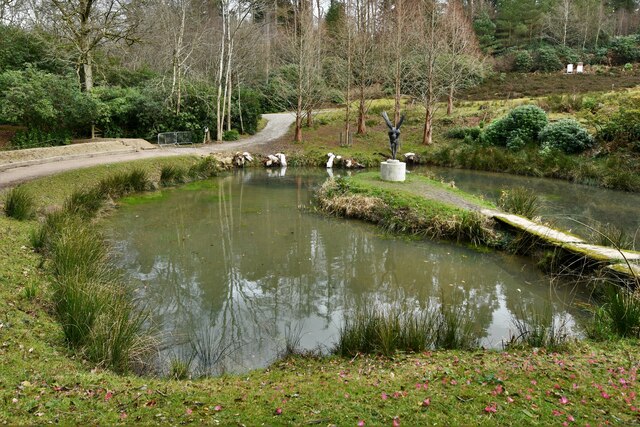
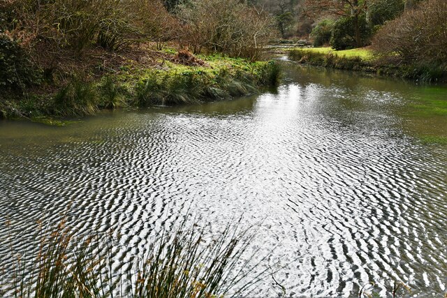
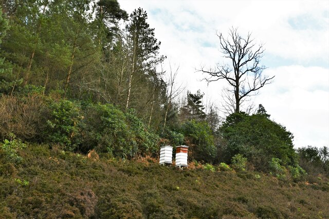
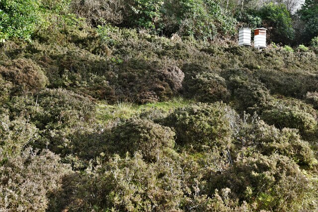
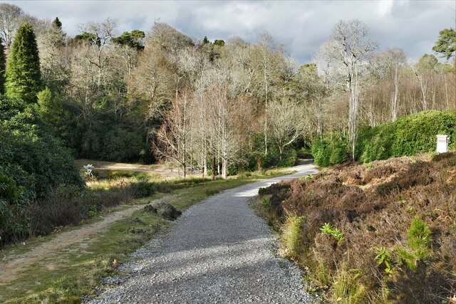
Ashfold Crossway is characterized by its rural charm and tranquility. The landscape surrounding the hamlet is primarily composed of rolling hills, green meadows, and dense woodlands, creating an idyllic setting for those seeking a peaceful retreat from the bustling city life.
The hamlet itself consists of a scattering of traditional country cottages, many of which are constructed from local stone, giving the area a distinct and timeless appeal. The architecture reflects the rich heritage of the region, with some properties dating back several centuries. The small population of Ashfold Crossway contributes to the close-knit community atmosphere, where residents often engage in social activities and community events.
Despite its quaintness, Ashfold Crossway benefits from its proximity to nearby towns and amenities. The town of Horsham offers a range of shops, restaurants, and leisure facilities, ensuring that residents have access to all necessary amenities within a short distance. Additionally, the hamlet is well-connected to major transportation routes, with good road links to nearby towns and cities.
Overall, Ashfold Crossway presents a charming and tranquil retreat in the heart of Sussex, offering a perfect blend of rural living and convenient access to nearby urban centers.
If you have any feedback on the listing, please let us know in the comments section below.
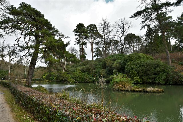
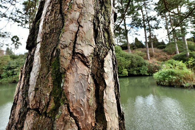
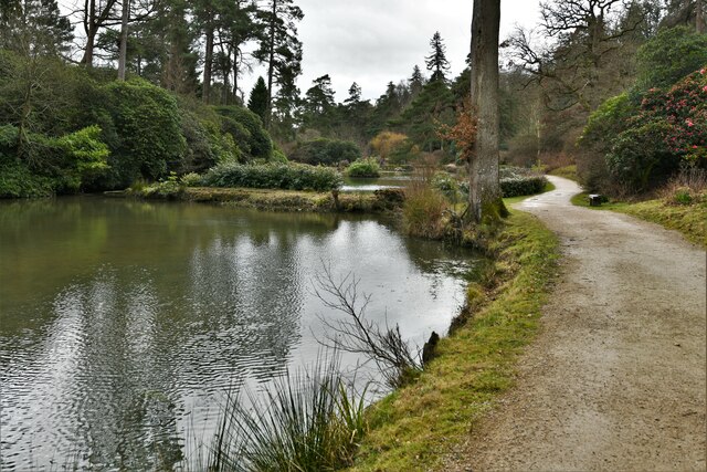
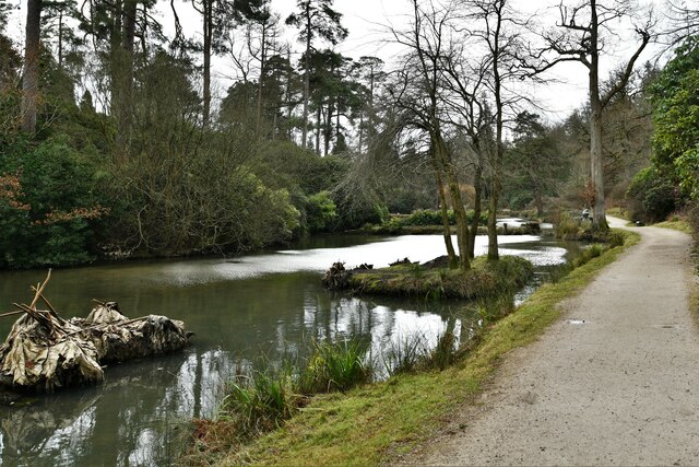
Ashfold Crossway Images
Images are sourced within 2km of 51.038203/-0.247033 or Grid Reference TQ2328. Thanks to Geograph Open Source API. All images are credited.


Ashfold Crossway is located at Grid Ref: TQ2328 (Lat: 51.038203, Lng: -0.247033)
Administrative County: West Sussex
District: Horsham
Police Authority: Sussex
What 3 Words
///hack.quote.cardinal. Near Handcross, West Sussex
Nearby Locations
Related Wikis

Newells Preparatory School
Newells Preparatory School came to Lower Beeding, Sussex, in 1946. It has been at Handcross and known as Handcross Park School since 1968. It merged with...

Lower Beeding
Lower Beeding is a village and civil parish in the Horsham District of West Sussex, England. The village lies on the B2110, B2115 and A281 roads 3.5 miles...

Leonardslee
Leonardslee is an English country house and English landscape garden and woodland garden in Lower Beeding, near Horsham, West Sussex, England. The Grade...

Mannings Heath Golf & Wine Estate
Mannings Heath Golf & Wine Estate is located in Mannings Heath, Horsham in the south of England. The 500 acre parkland site includes two golf courses and...

Mannings Heath
Mannings Heath is a village in the civil parish of Nuthurst and the Horsham District of West Sussex, England. The village is on the A281 road, 2 miles...

Slaugham
Slaugham () is a village and civil parish in the Mid Sussex District of West Sussex, England. It is located 7 miles (11 km) to the south of Crawley, on...

St Leonard's Forest SSSI
St Leonard's Forest SSSI is an 85.4-hectare (211-acre) biological Site of Special Scientific Interest east of Horsham in West Sussex. The SSSI is in two...

St Mary's Church, Slaugham
St Mary's Church is an Anglican church in the village of Slaugham in Mid Sussex, one of seven local government districts in the English county of West...
Nearby Amenities
Located within 500m of 51.038203,-0.247033Have you been to Ashfold Crossway?
Leave your review of Ashfold Crossway below (or comments, questions and feedback).