Ashfields
Settlement in Shropshire
England
Ashfields
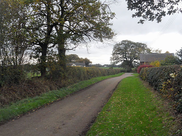
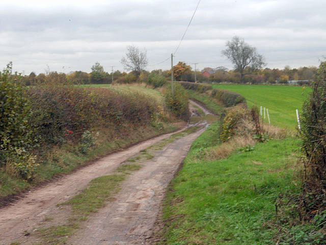
Ashfields is a small hamlet located in the county of Shropshire, England. Situated in the West Midlands region, it is nestled within the picturesque countryside, surrounded by rolling hills and lush green fields. The hamlet is part of the wider civil parish of Ashford Bowdler and lies approximately 6 miles south of the historic market town of Ludlow.
Despite its small size, Ashfields boasts a rich history, with evidence of human habitation dating back to the Neolithic period. The area is dotted with numerous ancient burial mounds, known as barrows, which are testament to its long-standing settlement.
The hamlet itself is characterized by a cluster of traditional stone cottages, many of which date back several centuries. These charming buildings give Ashfields a timeless and idyllic charm, making it a popular destination for those seeking a tranquil retreat away from the bustling cities.
The surrounding countryside offers ample opportunities for outdoor activities, with numerous walking trails and cycling routes crisscrossing the area. The nearby Clee Hills provide breathtaking panoramic views and are a haven for hikers and nature enthusiasts.
Although Ashfields lacks its own amenities, it benefits from its proximity to Ludlow, which offers a wide range of services, including shops, schools, and healthcare facilities. Ludlow is also renowned for its vibrant food scene, with numerous restaurants and pubs serving locally sourced produce and traditional dishes.
Overall, Ashfields is a serene and picturesque hamlet, offering a peaceful escape from the demands of modern life, while still providing easy access to the amenities of nearby towns.
If you have any feedback on the listing, please let us know in the comments section below.
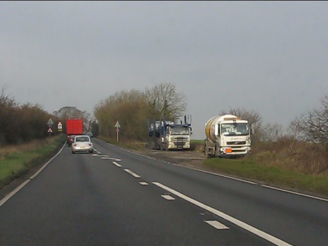
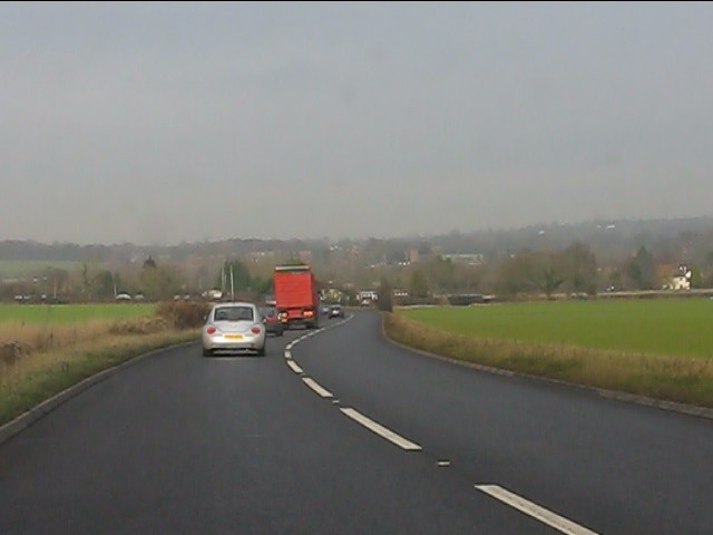
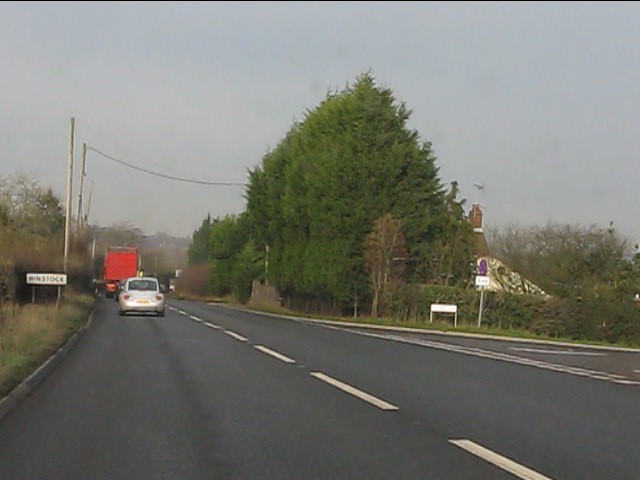
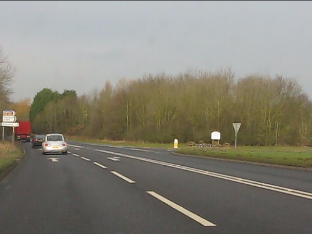
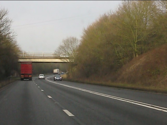
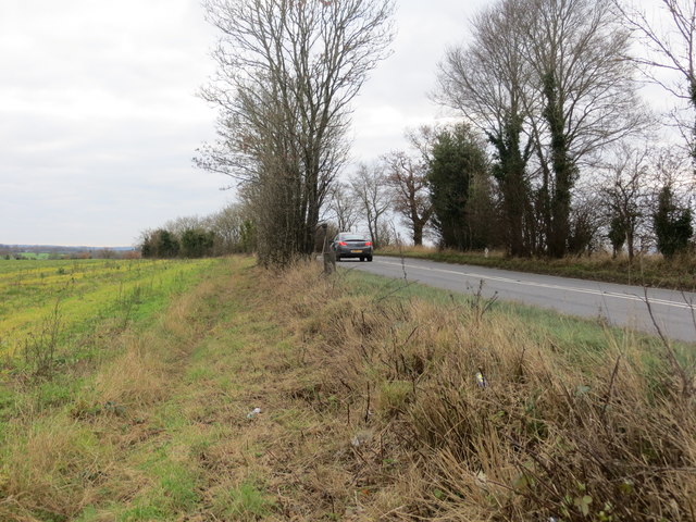
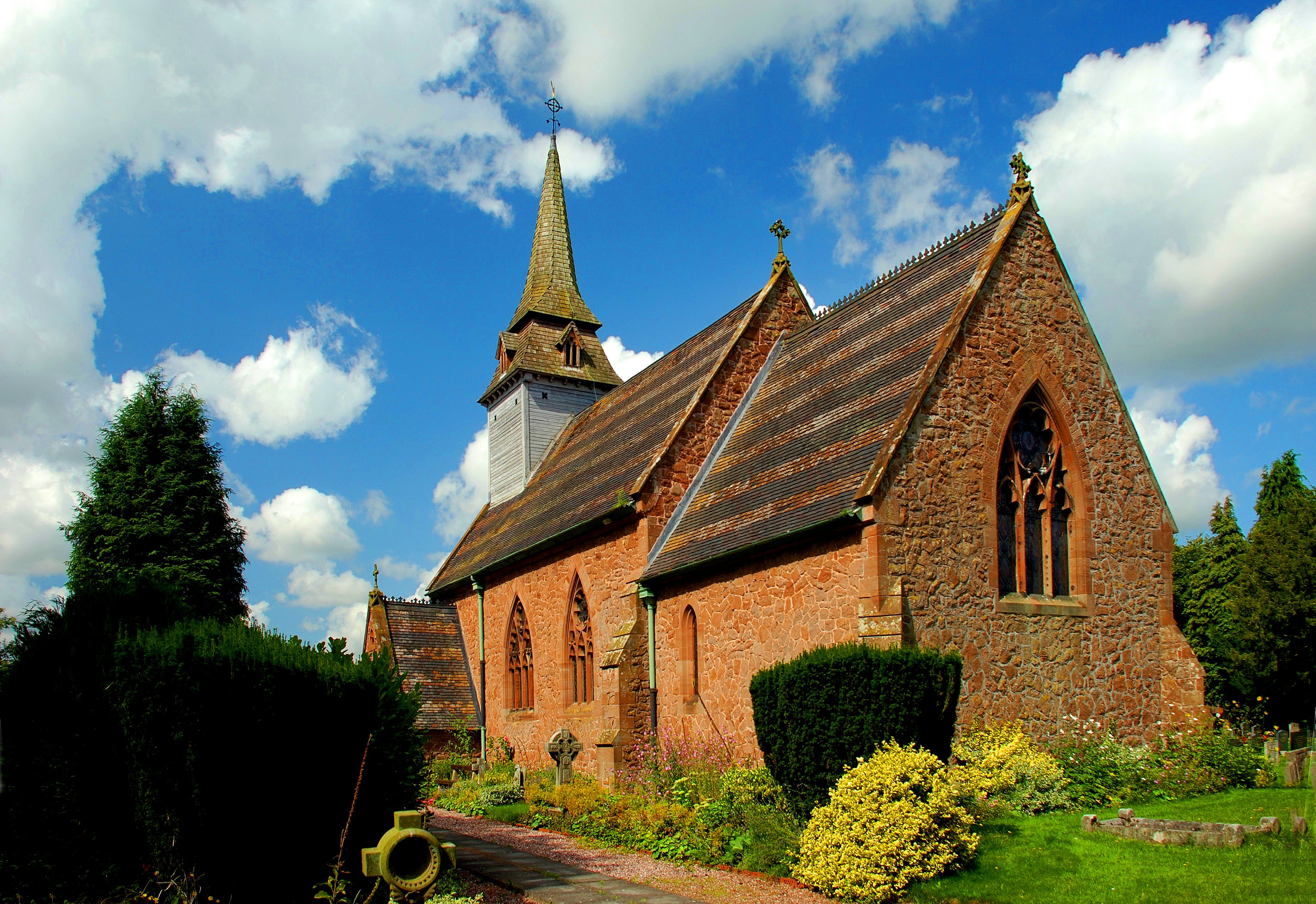
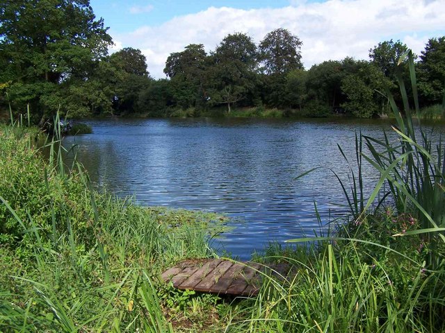
Ashfields Images
Images are sourced within 2km of 52.835085/-2.441138 or Grid Reference SJ7026. Thanks to Geograph Open Source API. All images are credited.


Ashfields is located at Grid Ref: SJ7026 (Lat: 52.835085, Lng: -2.441138)
Unitary Authority: Shropshire
Police Authority: West Mercia
What 3 Words
///gives.billiard.bravest. Near Chetwynd, Shropshire
Nearby Locations
Related Wikis

Ashfields
Ashfields is a village in Shropshire, England.

Hinstock
Hinstock is a village and civil parish in Shropshire, England. It appeared in the Domesday book survey as "Stoche" (from Old English stoc, "dependent settlement...

Ellerton, Shropshire
Ellerton is a small hamlet in Shropshire, England. It lies in a rather isolated rural area several miles north of the town of Newport, close to the village...

Goldstone, Shropshire
Goldstone is a small hamlet in eastern Shropshire, England, in the civil parish of Cheswardine. It lies in an isolated rural area north of Hinstock and...

Quarry Wood, Hinstock
Quarry Wood nature reserve is a 7-acre (28,000 m2) woodland on the west side of the A41 road at Hinstock in Shropshire that is managed by the Shropshire...
Sambrook, Shropshire
Sambrook is a small village in the ceremonial county of Shropshire, where it is part of the civil parish of Chetwynd, north of the town of Newport. To...

Soudley, Shropshire
Soudley is a small village in Shropshire in the civil parish of Cheswardine. The village had a pub called The Wheatsheaf until it was destroyed by fire...
Howle, Shropshire
Howle, also spelt Howl, is a small village in Shropshire, England, in a rural area some five miles to the north-west of the town of Newport. Although it...
Nearby Amenities
Located within 500m of 52.835085,-2.441138Have you been to Ashfields?
Leave your review of Ashfields below (or comments, questions and feedback).