Highland Close Spinney
Wood, Forest in Leicestershire Harborough
England
Highland Close Spinney
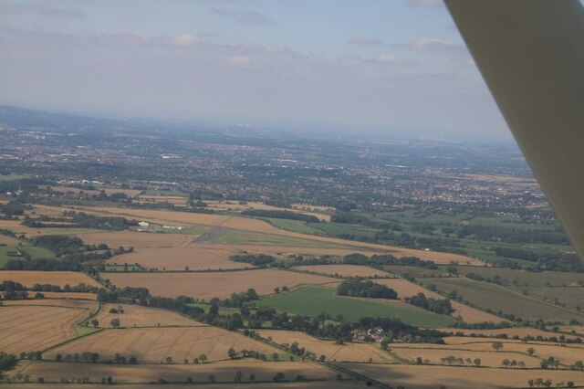
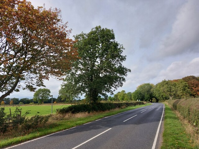
Highland Close Spinney is a picturesque woodland located in Leicestershire, England. Situated in the heart of the county, this woodland oasis is a haven for nature enthusiasts and outdoor lovers. Spanning across several acres, Highland Close Spinney is characterized by its dense forest of tall, majestic trees and lush undergrowth.
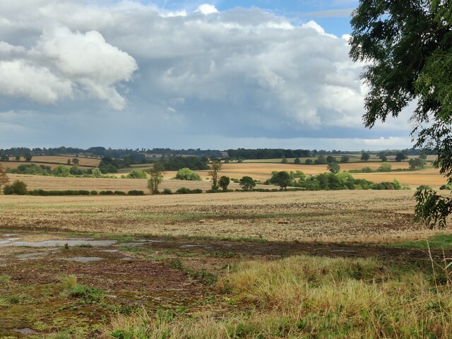
The woodland boasts a diverse range of tree species, including oak, beech, and birch, which create a vibrant and colorful canopy throughout the year. The forest floor is adorned with an array of wildflowers, ferns, and moss, providing a rich habitat for various wildlife.
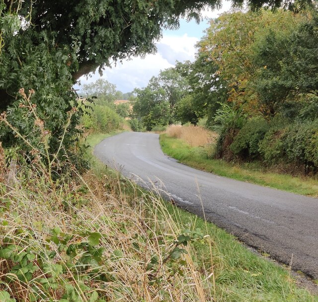
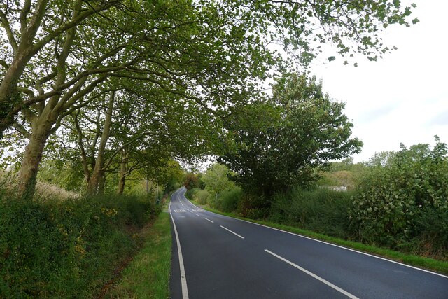
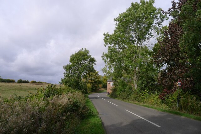
Visitors to Highland Close Spinney can enjoy a tranquil and peaceful atmosphere, away from the hustle and bustle of urban life. The woodland offers numerous walking trails, allowing visitors to explore its natural beauty at their own pace. These trails wind through the forest, meandering past babbling brooks and tranquil ponds, creating a sense of serenity and tranquility.
The woodland is also home to a diverse range of wildlife, including deer, foxes, and a variety of bird species. Birdwatchers will be delighted by the opportunity to spot woodpeckers, owls, and other woodland birds in their natural habitat.
Highland Close Spinney is a popular destination for outdoor activities such as hiking, picnicking, and photography. Its natural beauty and peaceful ambiance provide a welcome escape for those seeking solace in nature. Whether visiting for a leisurely stroll or a day of exploration, Highland Close Spinney offers a truly immersive and enchanting woodland experience.
If you have any feedback on the listing, please let us know in the comments section below.
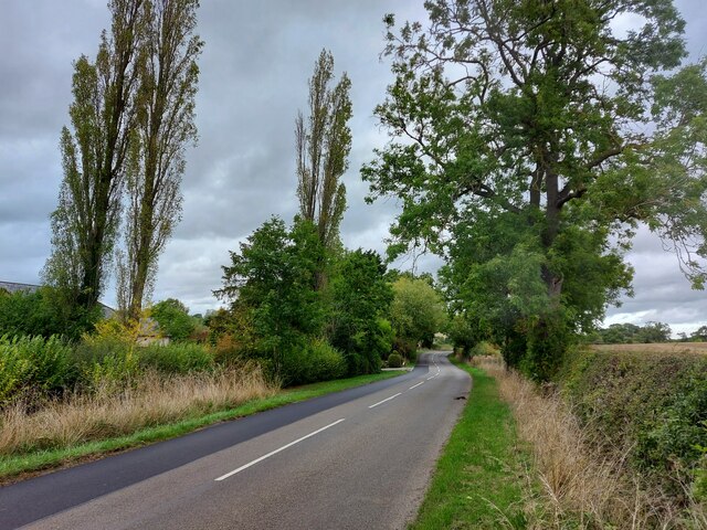
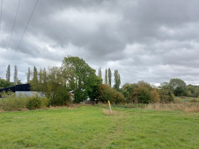
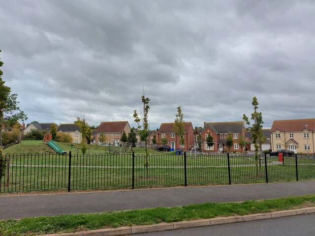
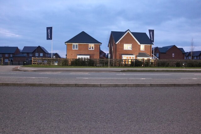
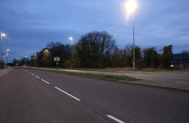
Highland Close Spinney Images
Images are sourced within 2km of 52.594801/-1.0375299 or Grid Reference SK6500. Thanks to Geograph Open Source API. All images are credited.
Highland Close Spinney is located at Grid Ref: SK6500 (Lat: 52.594801, Lng: -1.0375299)
Administrative County: Leicestershire
District: Harborough
Police Authority: Leicestershire
What 3 Words
///amused.rider.above. Near Great Glen, Leicestershire
Nearby Locations
Related Wikis
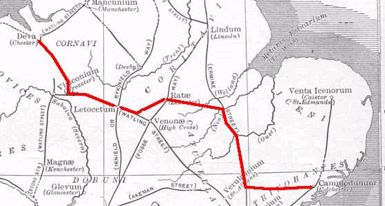
Via Devana
Via Devana is the name given to a Roman Road in England that ran from Colchester in the south-east, through Cambridge in the interior, and on to Chester...

Pennbury
Pennbury was the working name given to a proposed eco-town of 15,000 to 20,000 new homes intended to be built on Leicester Airport, four miles from the...

RAF Leicester East
Royal Air Force Leicester East, more commonly known as RAF Leicester East (ICAO: EGBG), is a former Royal Air Force station, near the village of Stoughton...
Leicester Airport
Leicester Airport (IATA: None, ICAO: EGBG) is an aerodrome located to the east of Stoughton, Leicestershire, England, about 5 nautical miles (9.3 km; 5...

Little Stretton, Leicestershire
Little Stretton (otherwise Stretton Parva) is a small village and civil parish in the Harborough district of Leicestershire that lies approximately 5.53...
Leicester Grammar School
Leicester Grammar School (often abbreviated to LGS) is an independent secondary school situated in Great Glen, Leicestershire, England. It was founded...
Manor High School, Oadby
Manor High School is a school with academy status for boys and girls, aged 11 to 16 years (school years 7 to 11). The school serves a suburban area to...

Great Glen Methodist Church
Great Glen Methodist Church, Leicestershire, was built in 1827 and a church hall was later added to the east of the church in 1879. == The church today... ==
Have you been to Highland Close Spinney?
Leave your review of Highland Close Spinney below (or comments, questions and feedback).