Ash Holt

Wood, Forest in Leicestershire Harborough

England

Ash Holt

Leicester Airport: aerial 2021
Leicester Airport: aerial 2021 Credit: Chris

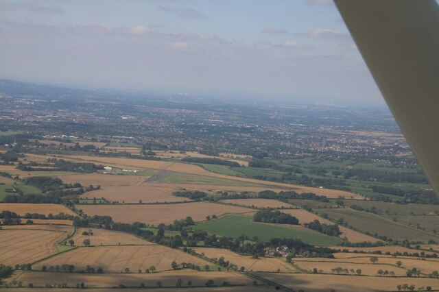
Ash Holt is a small village located in Leicestershire, England. Situated within the district of North West Leicestershire, Ash Holt is surrounded by picturesque woodlands and lush forests, giving the area a serene and tranquil ambiance.

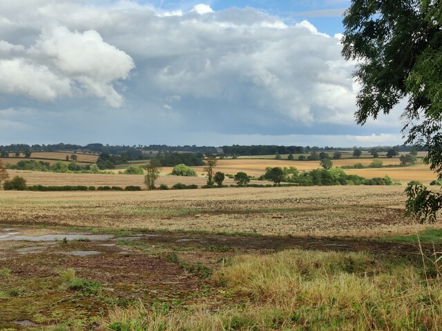
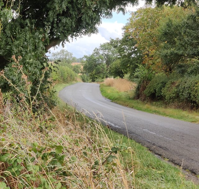
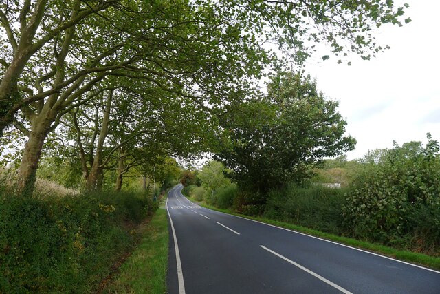
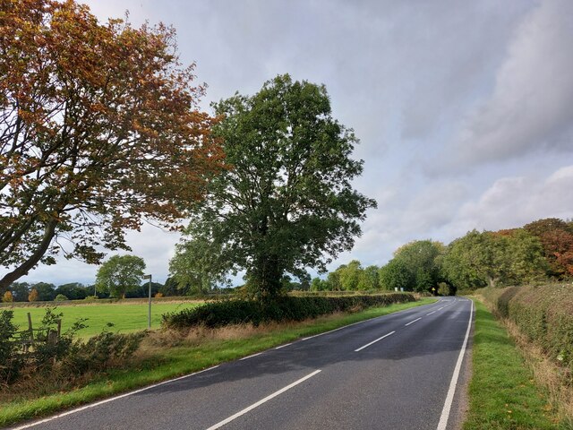
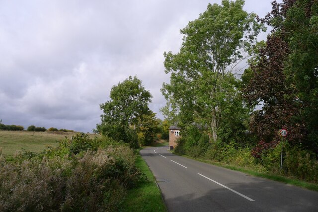
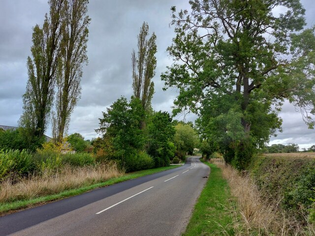
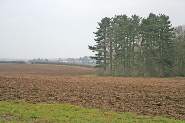
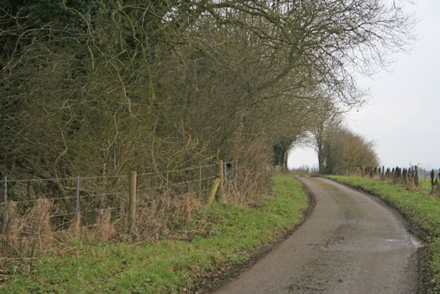
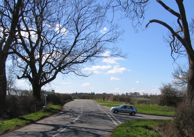
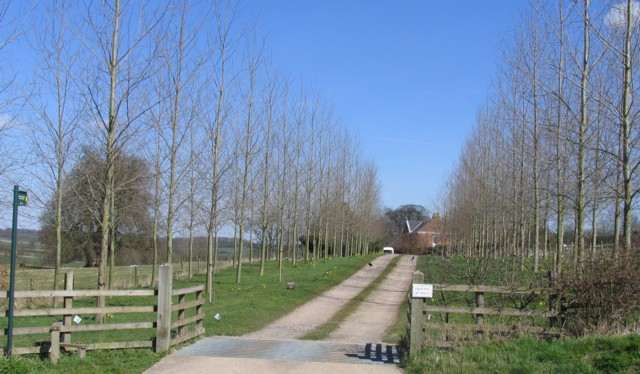
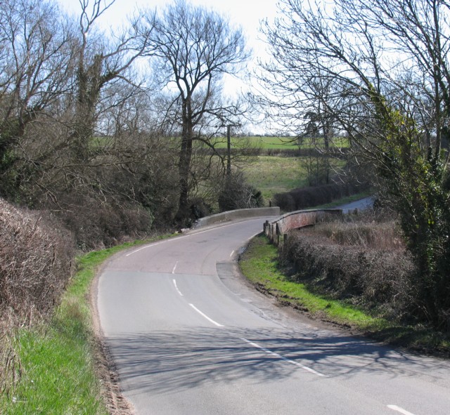
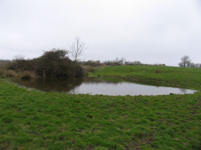
The village is known for its abundant natural beauty and is a popular destination for nature lovers and outdoor enthusiasts. The woodlands surrounding Ash Holt offer numerous walking trails and cycling routes, allowing visitors to explore the stunning scenery and observe the diverse wildlife that inhabits the area. The forested areas are home to a variety of tree species, including ash, oak, and birch, which contribute to the village's serene atmosphere.

Despite its rural setting, Ash Holt is conveniently located near several larger towns and cities. The village is just a short drive away from Coalville, a bustling market town that provides residents with a range of amenities and services. Additionally, the city of Leicester is within easy reach, offering further cultural, shopping, and entertainment opportunities.

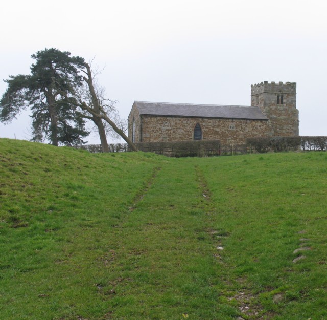
Ash Holt is characterized by its close-knit community, with a small population of friendly and welcoming residents. The village boasts a sense of tranquility and offers a peaceful retreat from the hustle and bustle of city life.

Overall, Ash Holt is a charming village surrounded by woodlands and forests, making it an idyllic destination for nature enthusiasts and those seeking a peaceful rural lifestyle.

If you have any feedback on the listing, please let us know in the comments section below.

Ash Holt Images

Images are sourced within 2km of 52.605318/-1.0372994 or Grid Reference SK6501. Thanks to Geograph Open Source API. All images are credited.

Leicester Airport: aerial 2021
Farmland near Leicester Airport
Gaulby Lane near Leicester Airport
Gartree (Roman) Road approaching Leicester from the south-east The Roman road 'Via Devana'
Gartree (Roman) Road approaching Leicester from the south-east
The Roman road 'Via Devana'
Gartree Road passing the footpath to Oadby Lodge Farm
Via Devana passing through Great Stretton (Stretton Magna) On the line of the Roman road (now called Gartree Road) past all that remains of the abandoned village of Stretton Magna: Church View Farm, on the corner ahead, and a derelict church in the fields to the left <a href="https://www.geograph.org.uk/photo/7303137">SK6500 : Church of St Giles, Great Stretton (Stretton Magna)</a>. Great Stretton (= 'street' town, i.e. on a Roman road) is now smaller than nearby Little Stretton.
Via Devana passing through Great Stretton (Stretton Magna)
On the line of the Roman road (now called Gartree Road) past all that remains of the abandoned village of Stretton Magna: Church View Farm, on the corner ahead, and a derelict church in the fields to the left SK6500 : Church of St Giles, Great Stretton (Stretton Magna). Great Stretton (= 'street' town, i.e. on a Roman road) is now smaller than nearby Little Stretton.
Church of St Giles, Great Stretton (Stretton Magna) The tower is mainly original 14th century, with the body of the church rebuilt in the mid 19th century <span class="nowrap"><a title="http://lrfhs.org.uk/documents/gartree/Great_Stretton_Book.pdf" rel="nofollow ugc noopener" href="http://lrfhs.org.uk/documents/gartree/Great_Stretton_Book.pdf">Link</a><img style="margin-left:2px;" alt="External link" title="External link - shift click to open in new window" src="https://s1.geograph.org.uk/img/external.png" width="10" height="10"/></span> . But now derelict, with both the church, and the churchyard surrounded by security fencing.
Church of St Giles, Great Stretton (Stretton Magna)
The tower is mainly original 14th century, with the body of the church rebuilt in the mid 19th century LinkExternal link . But now derelict, with both the church, and the churchyard surrounded by security fencing.
Stretton Road approaching the entrance to Ashfield House
Farmland near Stoughton, Leicester Looking NW towards Thurnby, <a href="https://www.geograph.org.uk/gridref/SK6403">SK6403</a>, from Houghton Lane
Farmland near Stoughton, Leicester
Looking NW towards Thurnby, SK6403, from Houghton Lane
Church Lane, Stoughton near Leicester There are several small villages on the eastern edge of Leicester which are in danger of being gobbled up by surburbia, of which Stoughton is one. St Mary and All Saints' Church is on the corner of Church Lane and Gaulby Lane.
Church Lane, Stoughton near Leicester
There are several small villages on the eastern edge of Leicester which are in danger of being gobbled up by surburbia, of which Stoughton is one. St Mary and All Saints' Church is on the corner of Church Lane and Gaulby Lane.
Houghton Lane, near Stoughton This prominent stand of woodland is called Clarke's Bush
Houghton Lane, near Stoughton
This prominent stand of woodland is called Clarke's Bush
Leicester Airport aircraft at the Leicester Aero Club flying school, near to Oadby and Stretton
Leicester Airport
aircraft at the Leicester Aero Club flying school, near to Oadby and Stretton
Leicester Airport Control Tower The White building is Leicester Airport's Control Tower.  It also houses the flying school.  The yellow board with a black 'C' indicates to pilots where they must go to sign in after landing.   In the foreground is the 'Signals Square and airport identifier (LE - Leicester).  The signals square tells pilots which runway is in use and advises of any hazards on the airfield.
Leicester Airport Control Tower
The White building is Leicester Airport's Control Tower. It also houses the flying school. The yellow board with a black 'C' indicates to pilots where they must go to sign in after landing. In the foreground is the 'Signals Square and airport identifier (LE - Leicester). The signals square tells pilots which runway is in use and advises of any hazards on the airfield.
Road junction near to Great Glen
Strictly Private Strictly Private with a public footpath running up the drive.
Strictly Private
Strictly Private with a public footpath running up the drive.
Bridge over the River Sence
Approach to the church of St Giles Great Stretton Great Stretton is a lost village of which little remains apart from the church which is in the middle of a field.
Approach to the church of St Giles Great Stretton
Great Stretton is a lost village of which little remains apart from the church which is in the middle of a field.
Pond This pond is adjacent to the church of St Giles at Great Streeton.
Pond
This pond is adjacent to the church of St Giles at Great Streeton.
Show me another place!

Ash Holt is located at Grid Ref: SK6501 (Lat: 52.605318, Lng: -1.0372994)

Administrative County: Leicestershire

District: Harborough

Police Authority: Leicestershire

What 3 Words

///branch.units.rare. Near Great Glen, Leicestershire

Nearby Locations

Ash Holt

Related Wikis

Pennbury

Pennbury was the working name given to a proposed eco-town of 15,000 to 20,000 new homes intended to be built on Leicester Airport, four miles from the...

RAF Leicester East

Royal Air Force Leicester East, more commonly known as RAF Leicester East (ICAO: EGBG), is a former Royal Air Force station, near the village of Stoughton...

Leicester Airport

Leicester Airport (IATA: None, ICAO: EGBG) is an aerodrome located to the east of Stoughton, Leicestershire, England, about 5 nautical miles (9.3 km; 5...
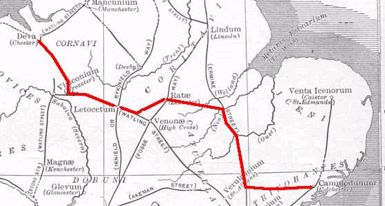
Via Devana

Via Devana is the name given to a Roman Road in England that ran from Colchester in the south-east, through Cambridge in the interior, and on to Chester...

Stoughton, Leicestershire

Stoughton ( ) is a village and civil parish in the Harborough district of Leicestershire. The population at the 2011 census was 351.Stoughton is east of...

Manor High School, Oadby

Manor High School is a school with academy status for boys and girls, aged 11 to 16 years (school years 7 to 11). The school serves a suburban area to...

Little Stretton, Leicestershire

Little Stretton (otherwise Stretton Parva) is a small village and civil parish in the Harborough district of Leicestershire that lies approximately 5.53...

Stoughton Grange

Stoughton Grange was a country house in the parish of Stoughton in Leicestershire and the family seat of the Farnham and Beaumont family. The house dated...

Nearby Amenities

Located within 500m of 52.605318,-1.0372994
Leicester Airport
Aeroway: aerodrome
Icao: EGBG
Wikidata: Q3915293
Wikipedia: en:Leicester Airport
Lat/Long: 52.6078167/-1.0317702
Aeroway: helipad
Lat/Long: 52.6064499/-1.0302995
The data included in this document is from www.openstreetmap.org. The data is made available under ODbL.

Have you been to Ash Holt?

Leave your review of Ash Holt below (or comments, questions and feedback).