Stretton, Great
Settlement in Leicestershire Harborough
England
Stretton, Great
Stretton, Great is a small village located in the county of Leicestershire, England. Situated in the heart of the East Midlands, it is nestled between the larger towns of Leicester and Loughborough.
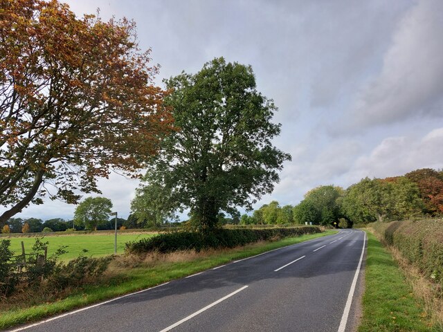
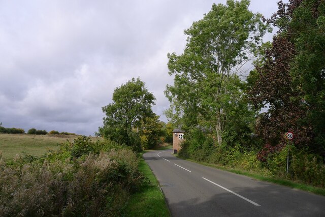
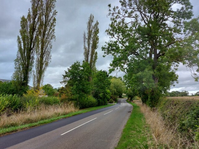
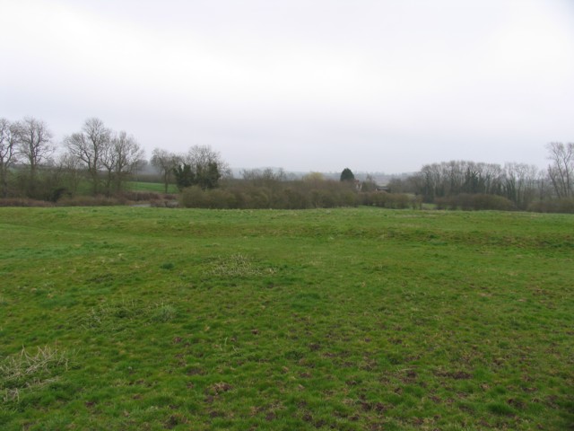
With a population of around 1,000 residents, Stretton, Great exudes a tranquil and rural charm. The village is known for its picturesque countryside, with rolling hills and open fields surrounding the area. The landscape provides ample opportunities for outdoor activities such as walking, cycling, and horse riding.
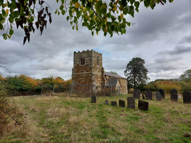
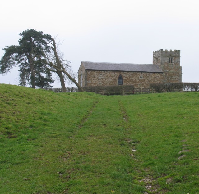
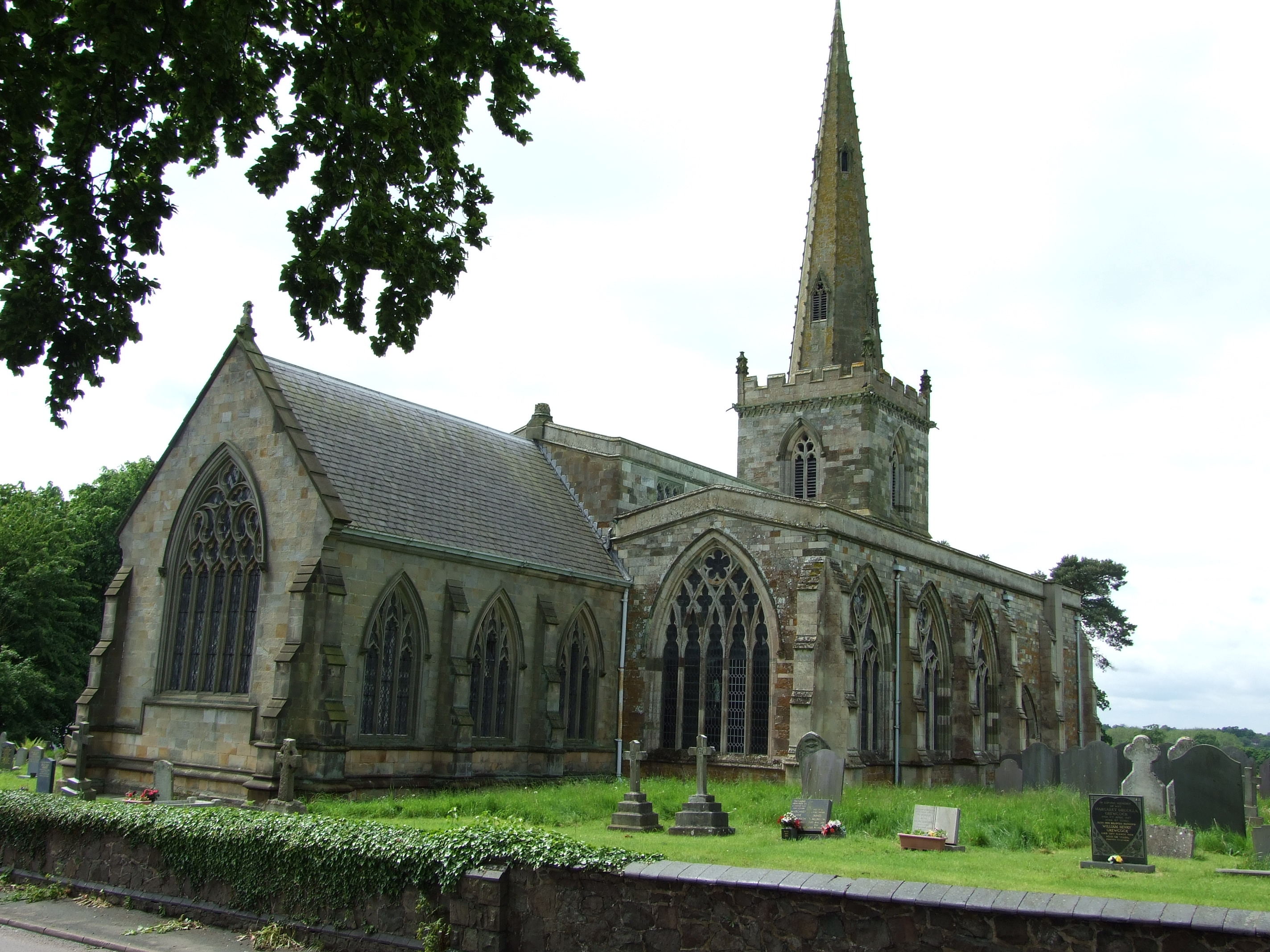
The village itself is characterized by its traditional and well-preserved architecture. The historic Stretton Hall, a Grade II listed building dating back to the 17th century, stands as a prominent landmark in the village. Additionally, Stretton, Great boasts a beautiful parish church, St. John the Baptist, which dates back to the 13th century.
Although the village is small, it offers a range of amenities to its residents. These include a local pub, a village hall, and a primary school, providing a strong sense of community. The residents of Stretton, Great are known for their friendliness and welcoming nature, making the village an inviting place to live or visit.
Overall, Stretton, Great is a charming and peaceful village in Leicestershire, offering a serene and idyllic setting for those seeking a slower pace of life in the English countryside.
If you have any feedback on the listing, please let us know in the comments section below.
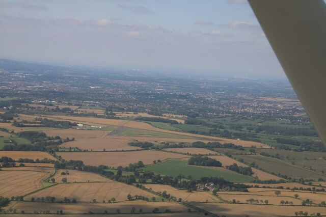
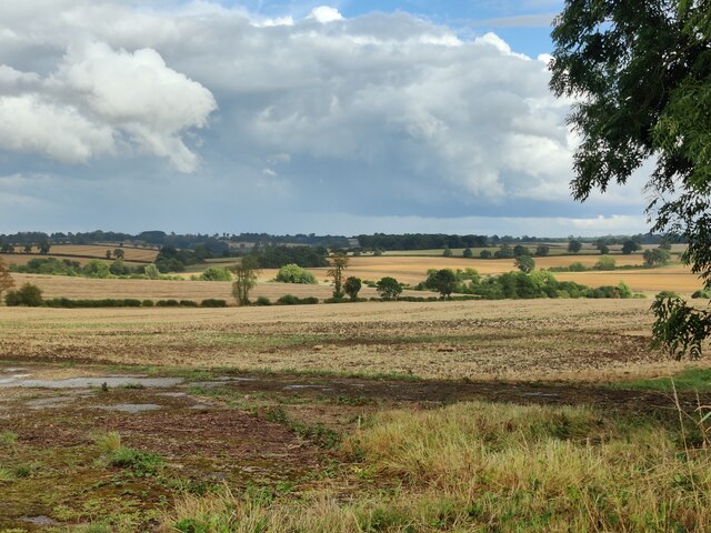
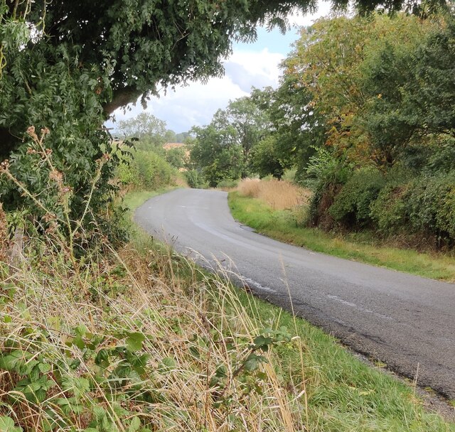
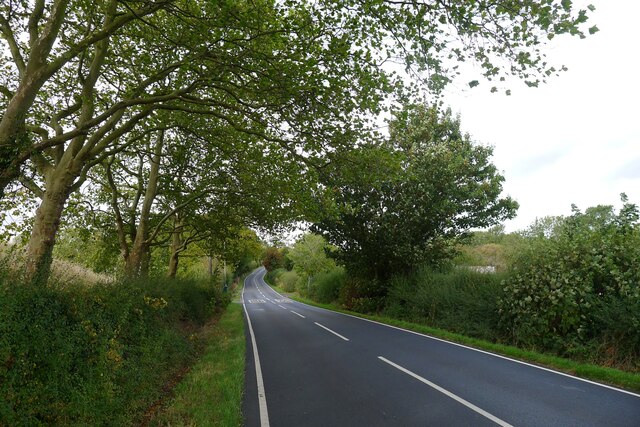
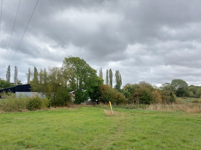
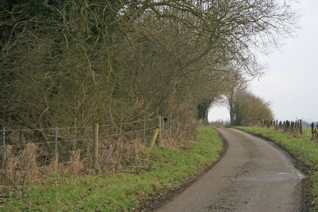
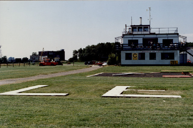
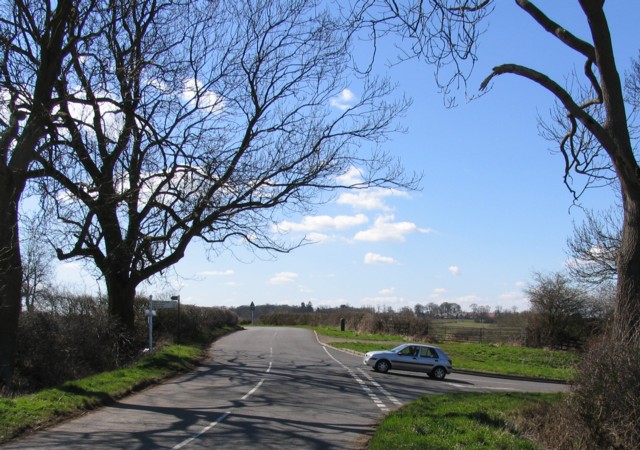
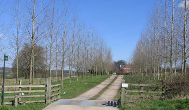
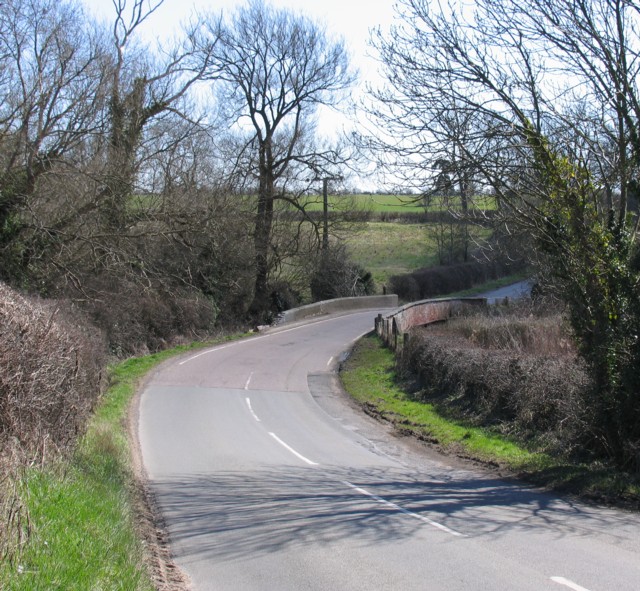
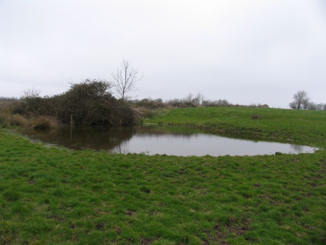
Stretton, Great Images
Images are sourced within 2km of 52.598603/-1.029922 or Grid Reference SK6500. Thanks to Geograph Open Source API. All images are credited.

Stretton, Great is located at Grid Ref: SK6500 (Lat: 52.598603, Lng: -1.029922)
Administrative County: Leicestershire
District: Harborough
Police Authority: Leicestershire
What 3 Words
///linen.choice.dish. Near Great Glen, Leicestershire
Nearby Locations
Related Wikis
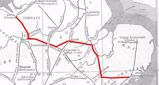
Via Devana
Via Devana is the name given to a Roman Road in England that ran from Colchester in the south-east, through Cambridge in the interior, and on to Chester...

Pennbury
Pennbury was the working name given to a proposed eco-town of 15,000 to 20,000 new homes intended to be built on Leicester Airport, four miles from the...

RAF Leicester East
Royal Air Force Leicester East, more commonly known as RAF Leicester East (ICAO: EGBG), is a former Royal Air Force station, near the village of Stoughton...
Leicester Airport
Leicester Airport (IATA: None, ICAO: EGBG) is an aerodrome located to the east of Stoughton, Leicestershire, England, about 5 nautical miles (9.3 km; 5...

Little Stretton, Leicestershire
Little Stretton (otherwise Stretton Parva) is a small village and civil parish in the Harborough district of Leicestershire that lies approximately 5.53...
Manor High School, Oadby
Manor High School is a school with academy status for boys and girls, aged 11 to 16 years (school years 7 to 11). The school serves a suburban area to...
Leicester Grammar School
Leicester Grammar School (often abbreviated to LGS) is an independent secondary school situated in Great Glen, Leicestershire, England. It was founded...
Stoughton, Leicestershire
Stoughton ( ) is a village and civil parish in the Harborough district of Leicestershire. The population at the 2011 census was 351.Stoughton is east of...
Nearby Amenities
Located within 500m of 52.598603,-1.029922Have you been to Stretton, Great?
Leave your review of Stretton, Great below (or comments, questions and feedback).