Stretton Magna Village
Heritage Site in Leicestershire Harborough
England
Stretton Magna Village
Stretton Magna Village is a picturesque heritage site located in Leicestershire, England. Situated in the heart of the county, the village is known for its historic charm and architectural beauty. Nestled amidst rolling countryside, Stretton Magna Village offers a tranquil escape from the hustle and bustle of modern life.
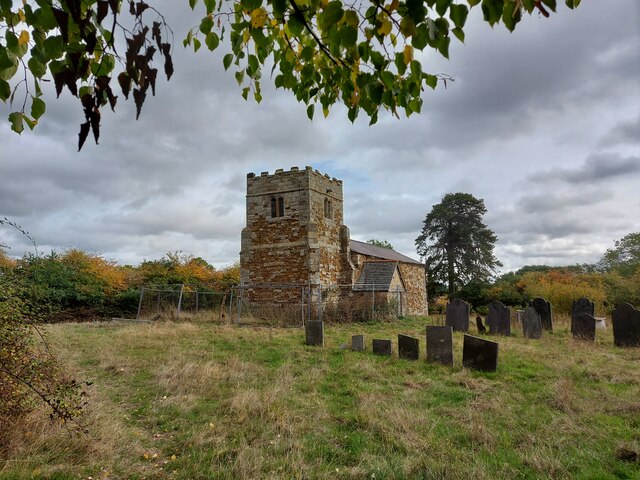
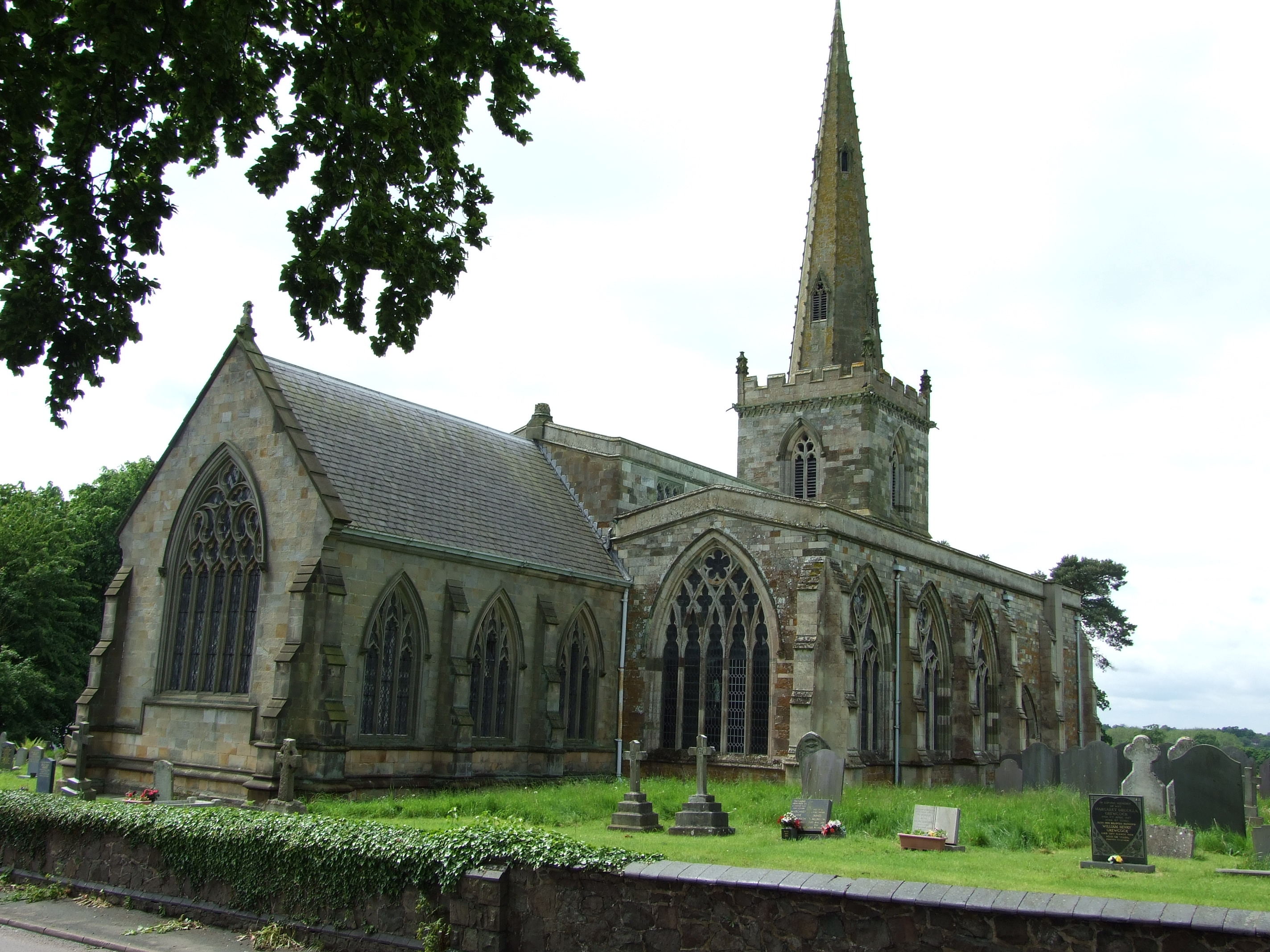
The village is characterized by its well-preserved medieval buildings, which date back to the 14th century. The centerpiece of Stretton Magna is the St. Mary's Church, a stunning example of Gothic architecture. The church is adorned with intricate stained glass windows and houses a collection of rare medieval artifacts.
The village also boasts a number of traditional thatched cottages, which add to its rustic charm. These cottages have been lovingly restored and provide a glimpse into the village's rich history. Visitors can take a leisurely stroll through the narrow lanes, admiring the unique architecture and enjoying the peaceful atmosphere.
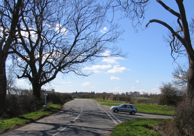
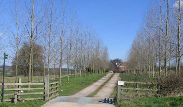
In addition to its architectural heritage, Stretton Magna Village is surrounded by beautiful countryside, making it a popular destination for outdoor enthusiasts. The village is located near several walking and cycling trails, offering visitors the opportunity to explore the stunning Leicestershire landscape.
Stretton Magna Village is also home to a vibrant community, with a local pub and a village hall hosting various events throughout the year. The village's friendly residents are known for their warm hospitality, welcoming visitors from near and far.
Overall, Stretton Magna Village is a hidden gem in Leicestershire, offering a perfect blend of history, natural beauty, and community spirit. It is a must-visit destination for anyone seeking an authentic English village experience.
If you have any feedback on the listing, please let us know in the comments section below.
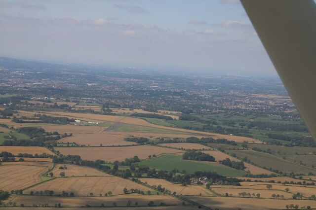
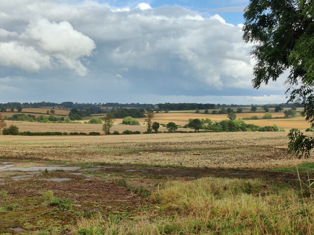
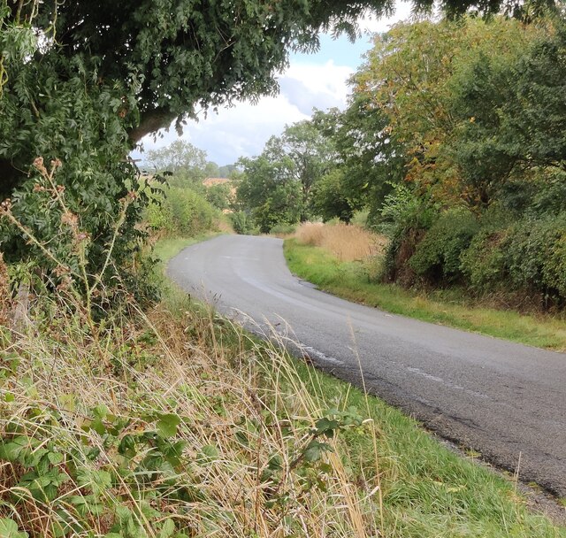
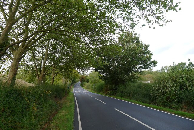
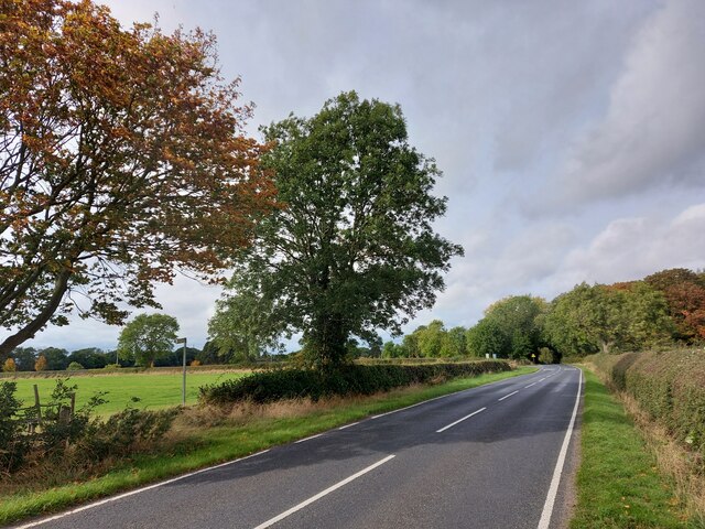
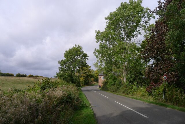
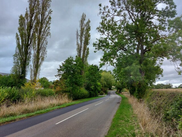
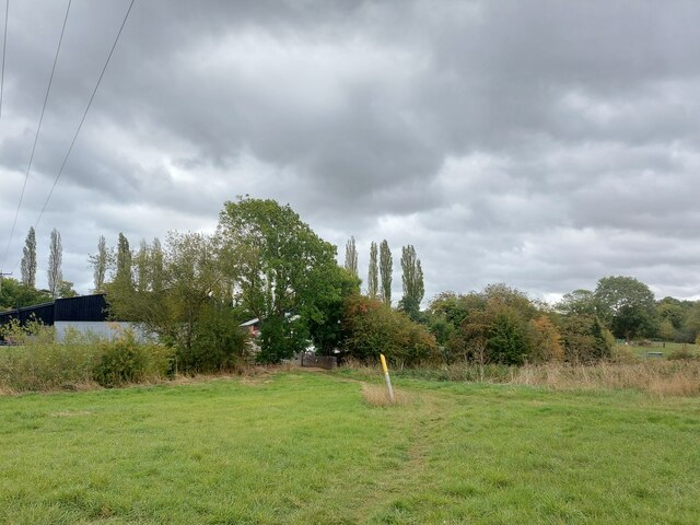
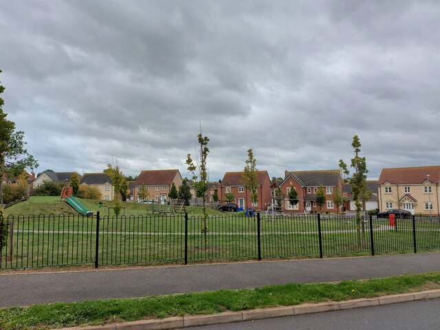
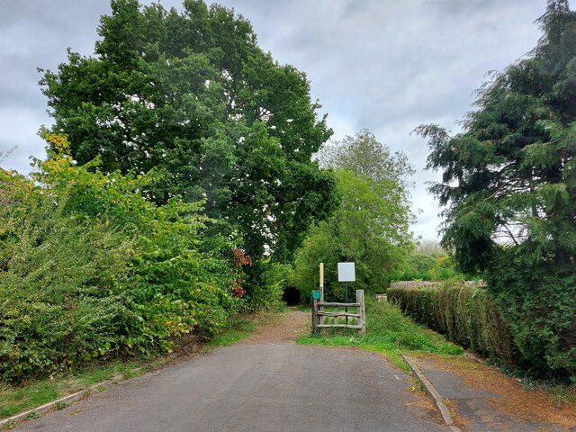
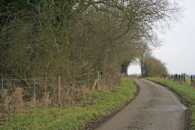
Stretton Magna Village Images
Images are sourced within 2km of 52.598/-1.033 or Grid Reference SK6500. Thanks to Geograph Open Source API. All images are credited.


Stretton Magna Village is located at Grid Ref: SK6500 (Lat: 52.598, Lng: -1.033)
Administrative County: Leicestershire
District: Harborough
Police Authority: Leicestershire
What 3 Words
///rams.bath.song. Near Great Glen, Leicestershire
Nearby Locations
Related Wikis
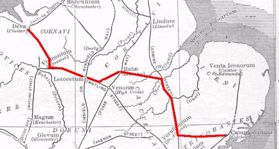
Via Devana
Via Devana is the name given to a Roman Road in England that ran from Colchester in the south-east, through Cambridge in the interior, and on to Chester...

Pennbury
Pennbury was the working name given to a proposed eco-town of 15,000 to 20,000 new homes intended to be built on Leicester Airport, four miles from the...

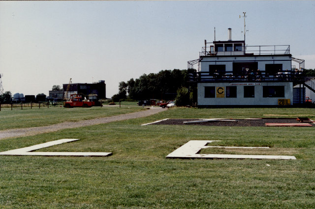
RAF Leicester East
Royal Air Force Leicester East, more commonly known as RAF Leicester East (ICAO: EGBG), is a former Royal Air Force station, near the village of Stoughton...
Leicester Airport
Leicester Airport (IATA: None, ICAO: EGBG) is an aerodrome located to the east of Stoughton, Leicestershire, England, about 5 nautical miles (9.3 km; 5...

Little Stretton, Leicestershire
Little Stretton (otherwise Stretton Parva) is a small village and civil parish in the Harborough district of Leicestershire that lies approximately 5.53...
Manor High School, Oadby
Manor High School is a school with academy status for boys and girls, aged 11 to 16 years (school years 7 to 11). The school serves a suburban area to...
Leicester Grammar School
Leicester Grammar School (often abbreviated to LGS) is an independent secondary school situated in Great Glen, Leicestershire, England. It was founded...
Stoughton, Leicestershire
Stoughton ( ) is a village and civil parish in the Harborough district of Leicestershire. The population at the 2011 census was 351.Stoughton is east of...
Nearby Amenities
Located within 500m of 52.598,-1.033Have you been to Stretton Magna Village?
Leave your review of Stretton Magna Village below (or comments, questions and feedback).