Ashfield
Settlement in Herefordshire
England
Ashfield

Ashfield is a small village located in the county of Herefordshire, England. Situated in the western part of the county, it lies approximately 7 miles southwest of Hereford, the county town. With a population of around 300 residents, Ashfield is known for its picturesque countryside and peaceful atmosphere.
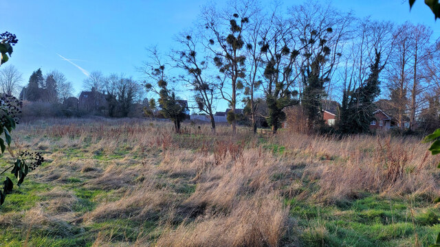
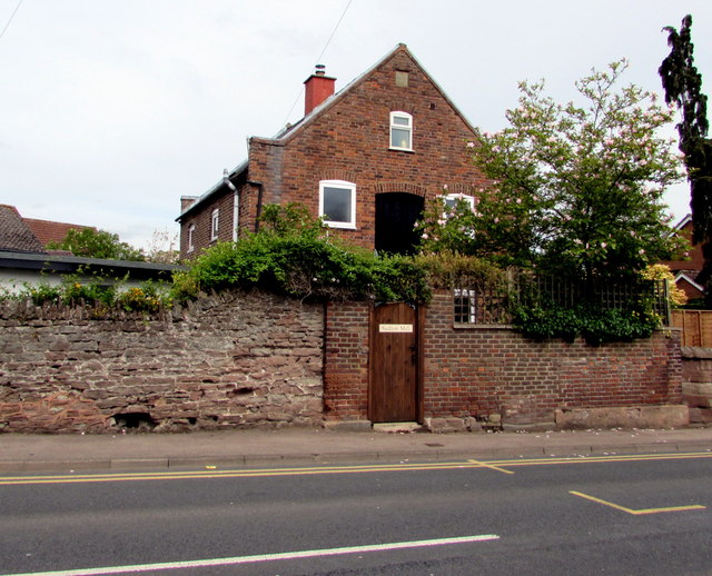
The village is surrounded by rolling green hills and farmland, creating a stunning rural landscape. It is characterized by traditional stone houses, many of which date back several centuries, adding to the area's charm and historical significance. The village church, St. Mary's, is a prominent feature and serves as a focal point for the community.
Ashfield offers a range of amenities for its residents, including a local pub, a village hall, and a primary school. The pub, known as The Ashfield, is a popular meeting spot for locals and visitors alike, offering a warm and friendly atmosphere.
The village benefits from its close proximity to larger towns and cities, such as Hereford and Leominster, providing residents with easy access to a wider range of services and facilities. The surrounding area also offers numerous opportunities for outdoor activities, including walking, cycling, and horse riding.
Overall, Ashfield is a tranquil and idyllic village that provides a peaceful retreat from the hustle and bustle of city life. Its picturesque surroundings, historic buildings, and close-knit community make it a desirable place to live or visit for those seeking a quieter way of life in Herefordshire.
If you have any feedback on the listing, please let us know in the comments section below.
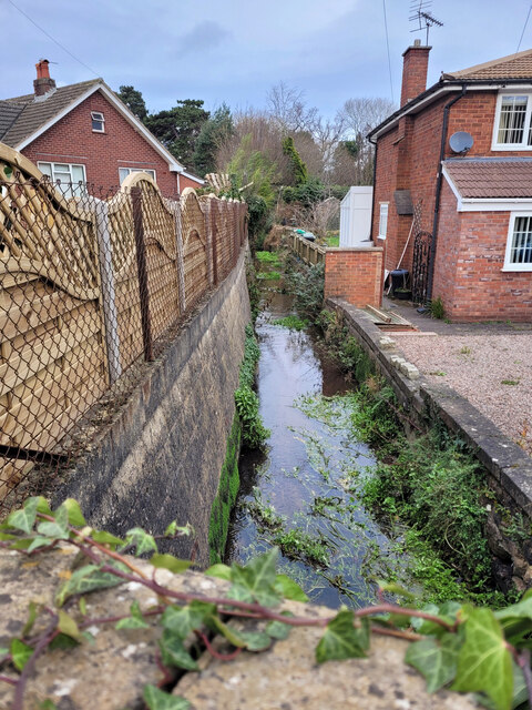
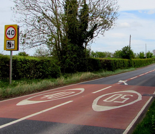
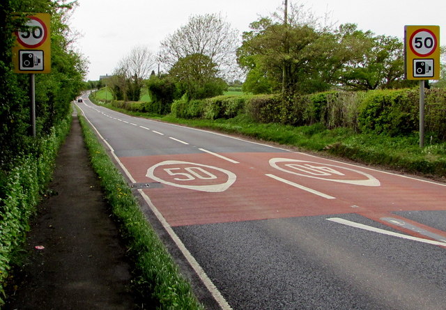
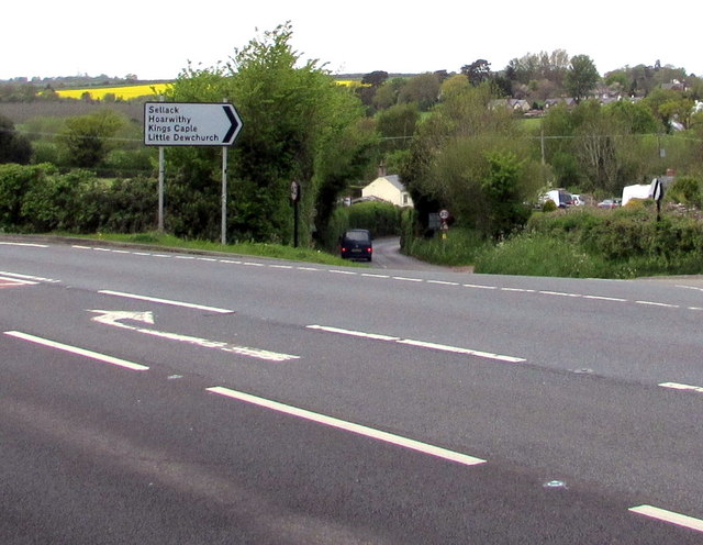
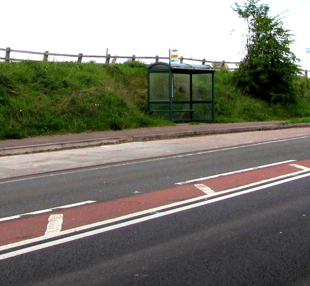
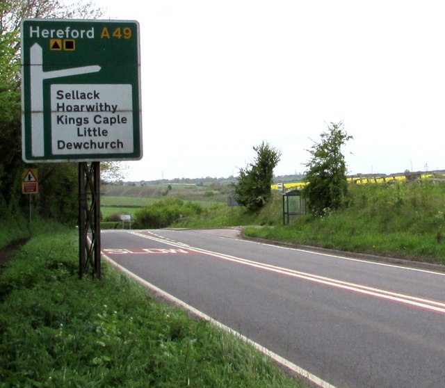
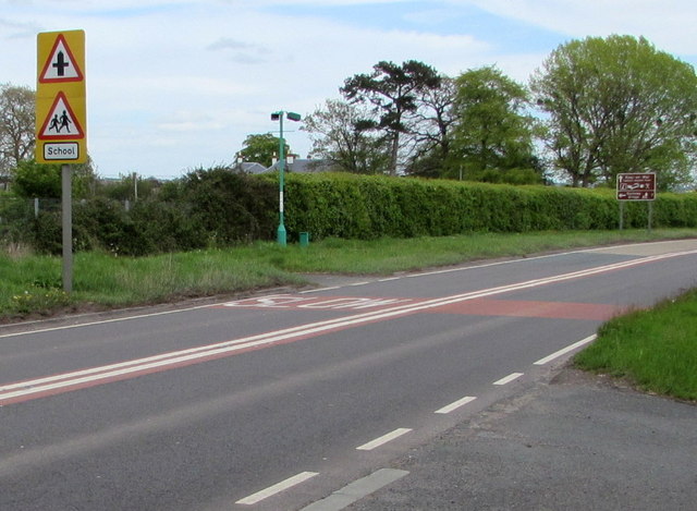
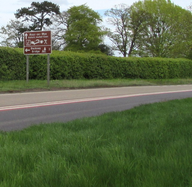
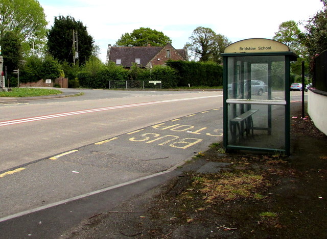
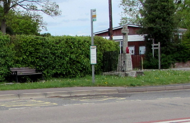
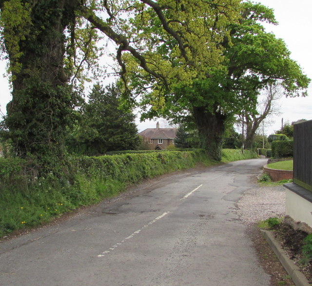
Ashfield Images
Images are sourced within 2km of 51.910734/-2.5856887 or Grid Reference SO5923. Thanks to Geograph Open Source API. All images are credited.


Ashfield is located at Grid Ref: SO5923 (Lat: 51.910734, Lng: -2.5856887)
Unitary Authority: County of Herefordshire
Police Authority: West Mercia
What 3 Words
///never.innocence.hillsides. Near Ross on Wye, Herefordshire
Nearby Locations
Related Wikis
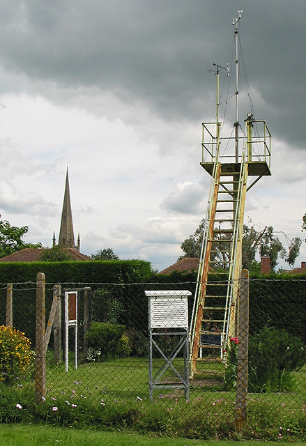
Ross-on-Wye weather station
The Ross-on-Wye weather station is a weather station, now fully automated, situated off the Walford Road in Ross-on-Wye, Herefordshire, England. ��2�...

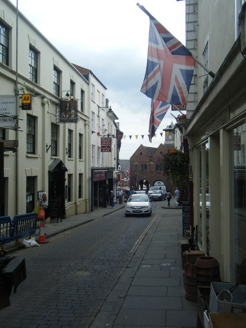
Ross-on-Wye
Ross-on-Wye is a market town and civil parish in Herefordshire, England, near the border with Wales. It had a population estimated at 10,978 in 2021. It...

Corn Exchange, Ross-on-Wye
The Corn Exchange is a commercial building in the High Street in Ross-on-Wye, Herefordshire, England. The structure, which is now used as a bookshop and...

Herefordshire Trail
The Herefordshire Trail is a long distance footpath in Herefordshire, England. == Route and distance == The trail, running for 154 miles (248 km) as a...
Nearby Amenities
Located within 500m of 51.910734,-2.5856887Have you been to Ashfield?
Leave your review of Ashfield below (or comments, questions and feedback).