Ashfield

Settlement in Carmarthenshire

Wales

Ashfield

Sticil ysgol Llansadwrn / Llansadwrn ladder tile Sticil ysgol yn croesi wal gerrig sych ger Llansadwrn

A ladder stile crossing a drystone wall near Llansadwrn
Sticil ysgol Llansadwrn / Llansadwrn ladder tile Credit: Alan Richards

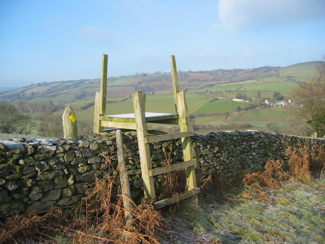
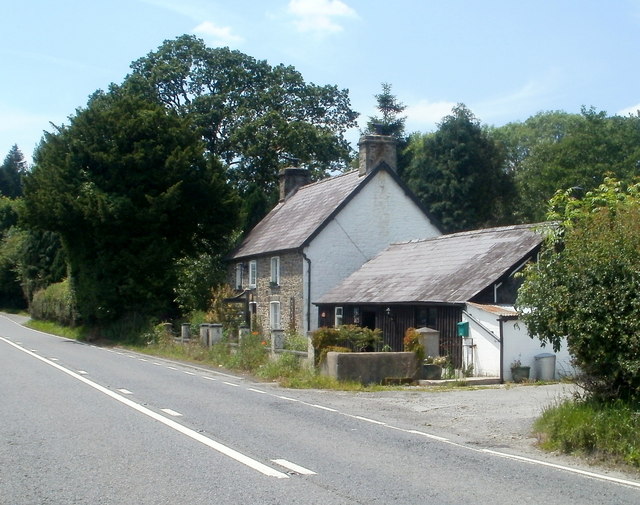
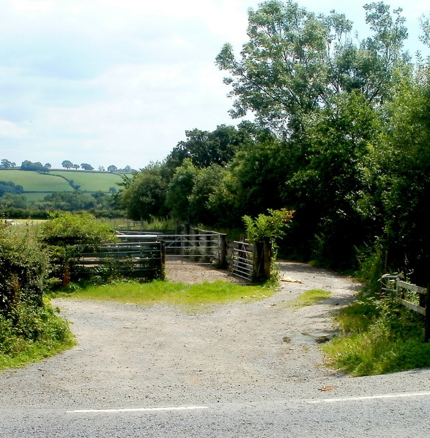
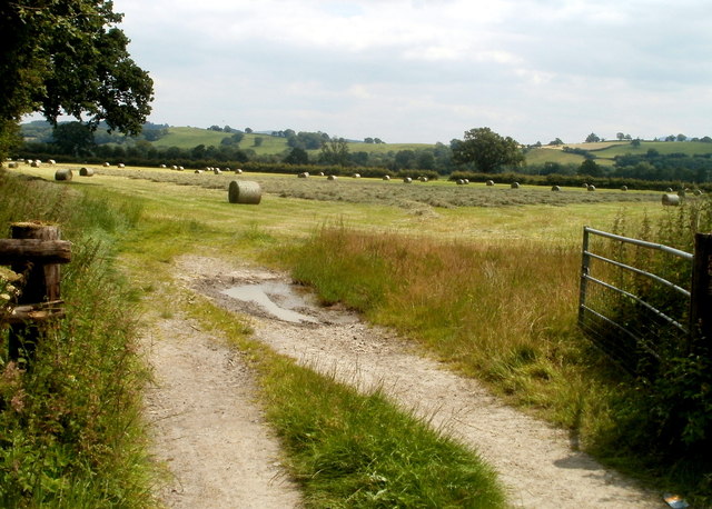
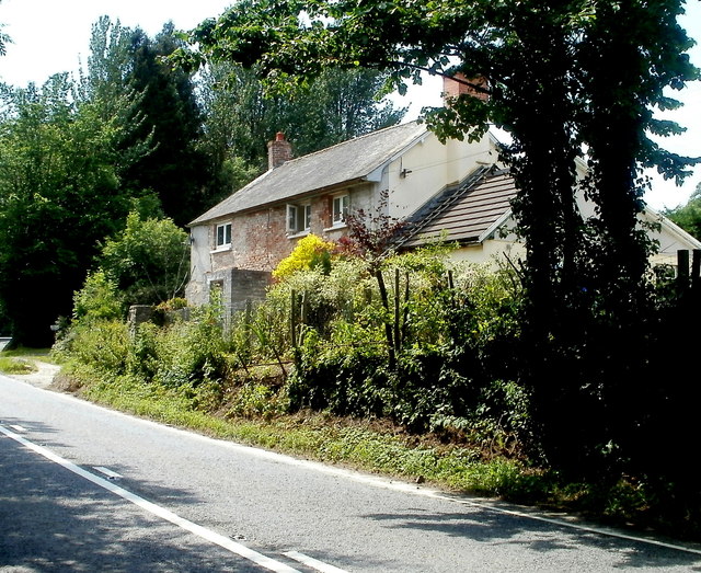
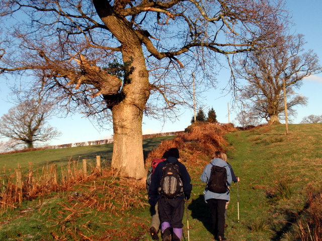
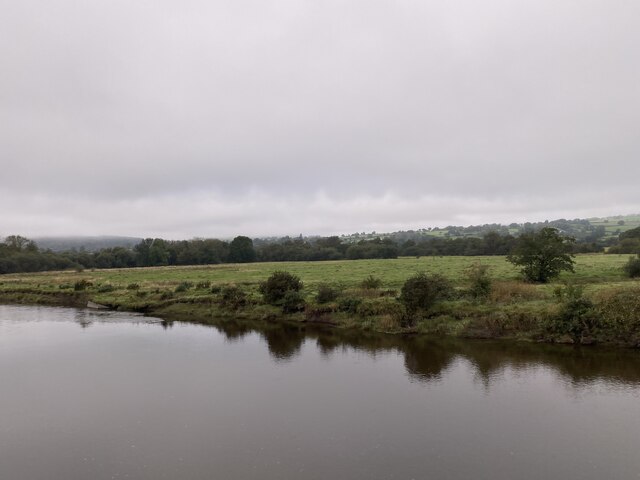
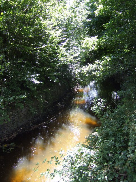
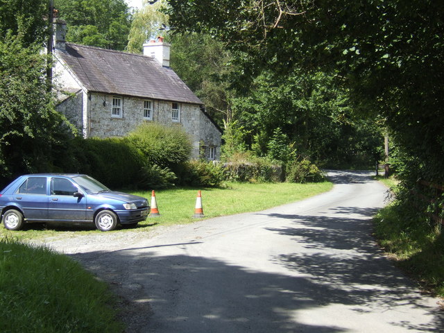
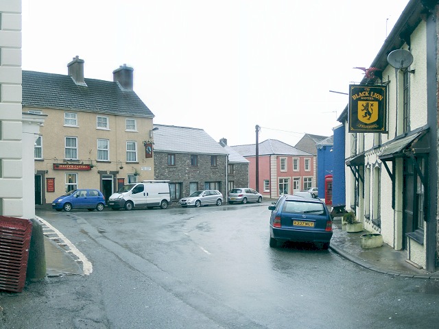
Ashfield is a small village located in Carmarthenshire, a county in southwest Wales. Situated in the heart of the picturesque Teifi Valley, Ashfield is known for its beautiful rural landscape and tranquil atmosphere. The village is surrounded by lush green hills, rolling farmlands, and meandering rivers, providing residents and visitors with stunning views and ample opportunities for outdoor activities.

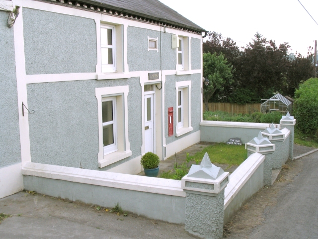
With a population of around 300 people, Ashfield is a close-knit community that prides itself on its strong community spirit. The village is home to a variety of amenities, including a local pub, a primary school, and a village hall, which serves as a hub for various social and cultural events.

Agriculture plays a significant role in the local economy, with many residents engaged in farming and livestock rearing. The village is also known for its unique breed of Welsh Black cattle, which are raised on the surrounding farmlands.

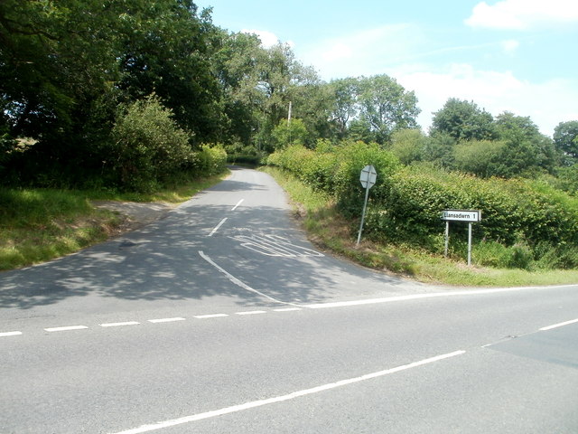
In terms of transportation, Ashfield is well-connected to the rest of Carmarthenshire and neighboring towns and cities. The A485 road runs through the village, providing easy access to larger urban centers. Additionally, public transportation options, such as buses and trains, are available nearby, ensuring convenient travel for residents and visitors.

Ashfield offers a peaceful and idyllic lifestyle, making it an attractive place for those seeking a rural retreat. Its natural beauty, strong community ties, and convenient location make it a desirable destination for both residents and tourists alike.

If you have any feedback on the listing, please let us know in the comments section below.
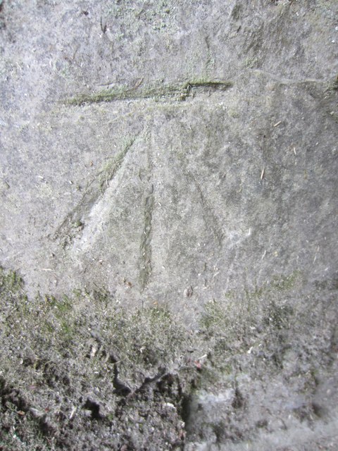
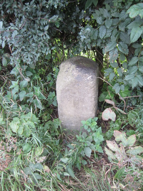
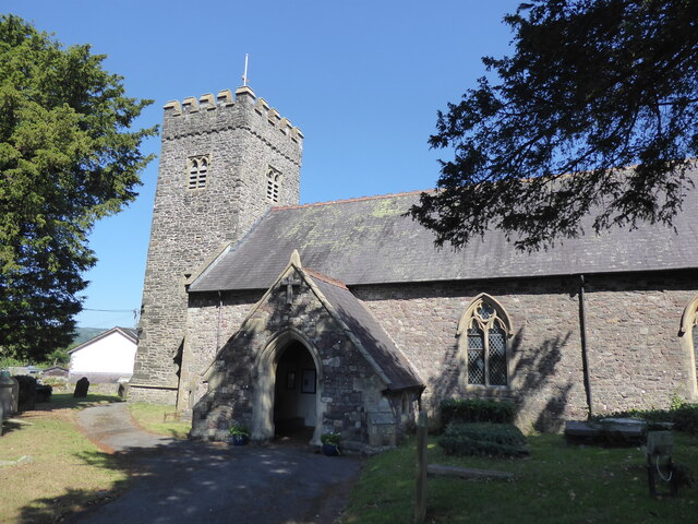
Ashfield Images

Images are sourced within 2km of 51.941124/-3.9029332 or Grid Reference SN6928. Thanks to Geograph Open Source API. All images are credited.

Sticil ysgol Llansadwrn / Llansadwrn ladder tile Sticil ysgol yn croesi wal gerrig sych ger Llansadwrn

A ladder stile crossing a drystone wall near Llansadwrn
Sticil ysgol Llansadwrn / Llansadwrn ladder tile
Sticil ysgol yn croesi wal gerrig sych ger Llansadwrn A ladder stile crossing a drystone wall near Llansadwrn
Little England in Carmarthenshire Deep in rural Wales, this is Lloegr-fach, literally Little England.
Viewed across the A40 SW of Llanwrda.
Little England in Carmarthenshire
Deep in rural Wales, this is Lloegr-fach, literally Little England. Viewed across the A40 SW of Llanwrda.
Livestock pens near Llansadwrn The pens are alongside the A40 near Lloegr-fach. <a title="https://www.geograph.org.uk/photo/3220493" href="https://www.geograph.org.uk/photo/3220493">Link</a>
Livestock pens near Llansadwrn
The pens are alongside the A40 near Lloegr-fach. Link
Early July in rural Carmarthenshire A view of a field adjacent to pens <a title="https://www.geograph.org.uk/photo/3220699" href="https://www.geograph.org.uk/photo/3220699">Link</a> at the edge of the A40.
Early July in rural Carmarthenshire
A view of a field adjacent to pens Link at the edge of the A40.
Bryncoch near Llansadwrn Viewed from the A40 near Lloegr-fach. <a title="https://www.geograph.org.uk/photo/3220493" href="https://www.geograph.org.uk/photo/3220493">Link</a>
Bryncoch near Llansadwrn
Viewed from the A40 near Lloegr-fach. Link
Road to Llansadwrn Viewed from the A40. The sign shows 1 mile to Llansadwrn. <a href="https://www.geograph.org.uk/gridref/SN6931">SN6931</a>
Road to Llansadwrn
Viewed from the A40. The sign shows 1 mile to Llansadwrn. SN6931
Tree at a right turn for Llansadwrn Viewed across the A40 in rural Carmarthenshire SW of Llanwrda.
A sign points right to a minor road to Llansadwrn (1 mile).
Tree at a right turn for Llansadwrn
Viewed across the A40 in rural Carmarthenshire SW of Llanwrda. A sign points right to a minor road to Llansadwrn (1 mile).
Ordnance Survey Cut Mark This OS cut mark can be found on the roadside building at Lletty'ywen. It marks a point 66.968m above mean sea level.
Ordnance Survey Cut Mark
This OS cut mark can be found on the roadside building at Lletty'ywen. It marks a point 66.968m above mean sea level.
Ordnance Survey Cut Mark This OS cut mark can be found on the gateside wall to Brynheulog. It marks a point 76.411m above mean sea level.
Ordnance Survey Cut Mark
This OS cut mark can be found on the gateside wall to Brynheulog. It marks a point 76.411m above mean sea level.
Mile Stone Mile Stone near Brownhill Farm.
Mile Stone
Mile Stone near Brownhill Farm.
Llwybr Caeau Gwynion / Caeau Gwynion path Cerddwyr yn dilyn llwybr cyhoeddus uwchben Ffarm Caeau Gwynion.

Walkers following a public footpath above Caeau Gwynion Farm (trans. fairfields)
Llwybr Caeau Gwynion / Caeau Gwynion path
Cerddwyr yn dilyn llwybr cyhoeddus uwchben Ffarm Caeau Gwynion. Walkers following a public footpath above Caeau Gwynion Farm (trans. fairfields)
The lane for Felindre
Llangadog, St Cadoc
Llangadog, St Cadoc
Afon Tywi near Llangadog
Garden Centre Cafe Adjacent to Llangadog Station.
Garden Centre Cafe
Adjacent to Llangadog Station.
Gas pipeline works The new gas pipeline from Milford Haven cuts a line around the Brecon Beacons. This is close to RDX30 (road-crossing 30) where it crosses the A40 trunk road.
Gas pipeline works
The new gas pipeline from Milford Haven cuts a line around the Brecon Beacons. This is close to RDX30 (road-crossing 30) where it crosses the A40 trunk road.
Afon Marlais One of the tributaries of the Towy, to the west of Llangadog.
Afon Marlais
One of the tributaries of the Towy, to the west of Llangadog.
Cottage in Felindre A hamlet a mile to the west of the A40 near Llanwrda.
Cottage in Felindre
A hamlet a mile to the west of the A40 near Llanwrda.
Show me another place!

Ashfield is located at Grid Ref: SN6928 (Lat: 51.941124, Lng: -3.9029332)

Unitary Authority: Carmarthenshire

Police Authority: Dyfed Powys

What 3 Words

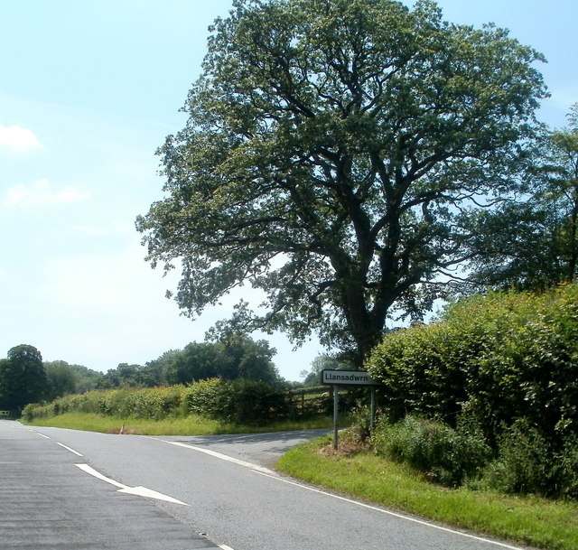
///hiked.caramel.combining. Near Llansadwrn, Carmarthenshire

Related Wikis

Llangadog railway station

Llangadog railway station serves the village of Llangadog near Llandeilo, Carmarthenshire. The station is on the Heart of Wales Line 36+1⁄2 miles (59 km...

River Sawdde

The Afon Sawdde is a river in the county of Carmarthenshire, Wales. For most of its course it flows through the Brecon Beacons National Park and Fforest...

Llansadwrn

Llansadwrn (; Welsh: [ɬanˈsadʊn]; ) is a small village and community in Carmarthenshire, Wales. It is located in the countryside above the valley of the...

Llangadog

Llangadog () is a village and community in Carmarthenshire, Wales, which also includes the villages of Bethlehem and Capel Gwynfe. A notable local landscape...

Glanrhyd Bridge collapse

On 19 October 1987, a train on the Heart of Wales line derailed and fell into the River Towy due to the partial collapse of the Glanrhyd Bridge near Llandeilo...

Glanrhyd Halt railway station

Glanrhyd railway station served the town of Llandeilo, Carmarthenshire, Wales, from 1858 to 1955 on the Vale of Towy Railway. == History == The station...

Llanwrda railway station

Llanwrda railway station serves the village of Llanwrda near Llandovery, Carmarthenshire. Opened by the Vale of Towy Railway in 1858, the station is on...

Bethlehem, Carmarthenshire

Bethlehem is a tiny farming village in the county of Carmarthenshire, Wales, lying in the Tywi Valley northeast of Llandeilo and southwest of Llangadog...

Nearby Amenities

Located within 500m of 51.941124,-3.9029332
Power: pole
Lat/Long: 51.9442076/-3.8994033
Power: pole
Lat/Long: 51.9423701/-3.9007044
Power: pole
Lat/Long: 51.9426131/-3.8961205
Power: pole
Lat/Long: 51.9424511/-3.9006561
Power: pole
Lat/Long: 51.9428793/-3.9009538
Power: pole
Lat/Long: 51.9436135/-3.899838
Power: pole
Lat/Long: 51.9451858/-3.9057897
Power: pole
Lat/Long: 51.9424032/-3.8974294
Power: pole
Lat/Long: 51.9424831/-3.90333
Fixme: continue?
Power: pole
Lat/Long: 51.9415053/-3.9010316
Power: pole
Lat/Long: 51.9423982/-3.8983628
Power: pole
Lat/Long: 51.9427884/-3.902303
Power: pole
Lat/Long: 51.9420725/-3.9047303
Power: pole
Lat/Long: 51.9427454/-3.9014581
Power: pole
Lat/Long: 51.9426396/-3.8979846
Power: pole
Lat/Long: 51.9442351/-3.9041911
Power: pole
Lat/Long: 51.9423585/-3.9010236
Power: pole
Lat/Long: 51.9444771/-3.8987193
Power: pole
Lat/Long: 51.943625/-3.9031504
Power: pole
Lat/Long: 51.9425338/-3.8995001
Power: pole
Lat/Long: 51.9435887/-3.9001572
Power: pole
Lat/Long: 51.942499/-3.900817
Power: pole
Lat/Long: 51.9429223/-3.9020133
Power: pole
Lat/Long: 51.9417953/-3.8960746
Power: pole
Lat/Long: 51.9405679/-3.9062456
Power: pole
Lat/Long: 51.939126/-3.9061705
Power: pole
Lat/Long: 51.9396617/-3.9054892
Power: pole
Lat/Long: 51.937711/-3.9003823
Power: pole
Lat/Long: 51.9399263/-3.9010692
Power: pole
Lat/Long: 51.9418675/-3.9025176
Power: pole
Lat/Long: 51.9386696/-3.906782
Power: pole
Lat/Long: 51.9400751/-3.9048937
Power: pole
Lat/Long: 51.9390107/-3.9078549
Power: pole
Lat/Long: 51.941388/-3.9032737
Power: pole
Lat/Long: 51.939751/-3.9070717
Power: pole
Lat/Long: 51.9425294/-3.9016483
Power: pole
Lat/Long: 51.9380181/-3.907635
Power: pole
Lat/Long: 51.9371124/-3.8998136
Power: pole
Lat/Long: 51.9405447/-3.9042822
Power: pole
Lat/Long: 51.9412855/-3.9055267
Power: pole
Lat/Long: 51.9390433/-3.9010584
Power: pole
Lat/Long: 51.9385042/-3.9010799
Noexit: yes
Lat/Long: 51.9406084/-3.9019657
Power: pole
Lat/Long: 51.9427644/-3.9018296
Direction: 125
Generator Method: photovoltaic
Generator Output Electricity: yes
Generator Solar Modules: 16
Generator Source: solar
Generator Type: solar_photovoltaic_panel
Location: roof
Power: generator
Lat/Long: 51.9427884/-3.9069754
Bus Stop
Bus: yes
Public Transport: platform
Shelter: yes
Lat/Long: 51.9415913/-3.901591
Bus Stop
Bus: yes
Public Transport: platform
Lat/Long: 51.9399609/-3.9026114
Barrier: bollard
Lat/Long: 51.940745/-3.90193
The data included in this document is from www.openstreetmap.org. The data is made available under ODbL.

Have you been to Ashfield?

Leave your review of Ashfield below (or comments, questions and feedback).