Archenfield
Settlement in Herefordshire
England
Archenfield

Archenfield is a historic region located in Herefordshire, England. Nestled along the border with Wales, it is known for its picturesque landscapes and rich cultural heritage. The region encompasses a number of charming villages and hamlets, including Ewyas Harold, Kentchurch, and Kilpeck.
With its roots dating back to the Anglo-Saxon period, Archenfield boasts a fascinating history. It was once a significant frontier region, serving as a defense against the Welsh invaders. Today, remnants of this past can be seen in the form of ancient fortifications and castles that dot the landscape.
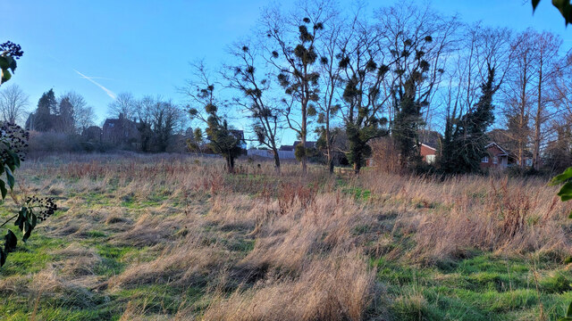
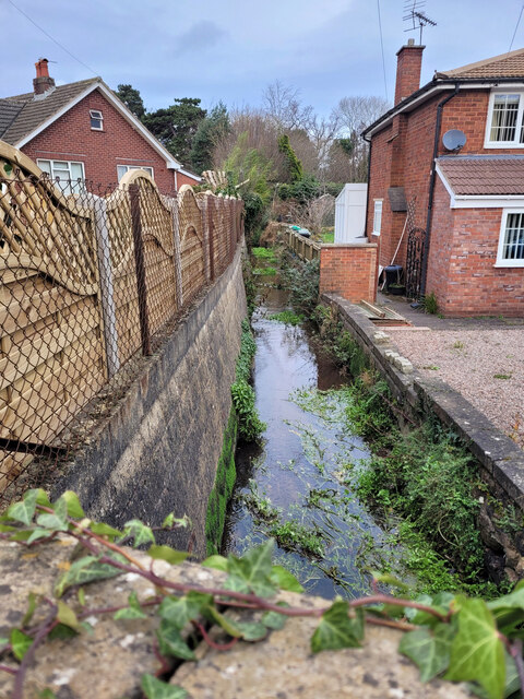
Nature lovers are drawn to Archenfield for its outstanding beauty. The region is blessed with rolling hills, meandering rivers, and dense woodlands, providing ample opportunities for outdoor pursuits like hiking, cycling, and birdwatching. The tranquil River Monnow flows through the heart of Archenfield, offering excellent fishing spots and picturesque picnic areas.
Archenfield is also renowned for its architectural gems. The stunning Norman church of St. Mary and St. David in Kilpeck is a prime example of the region's medieval heritage. This small village is also home to the famous Kilpeck Castle, a well-preserved medieval fortress that stands as a testament to Archenfield's strategic significance.
Archenfield is a place where history and natural beauty converge, offering visitors a unique glimpse into the past while providing a tranquil escape from the hustle and bustle of modern life.
If you have any feedback on the listing, please let us know in the comments section below.
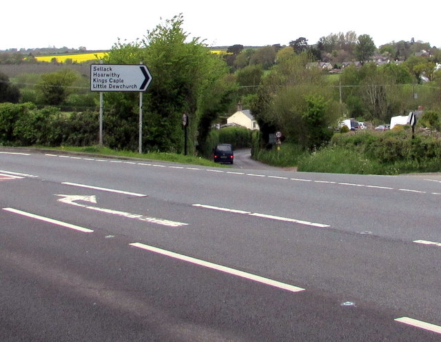
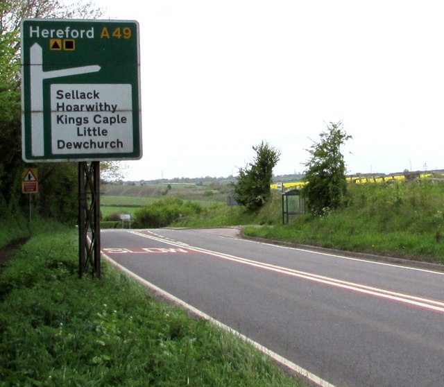
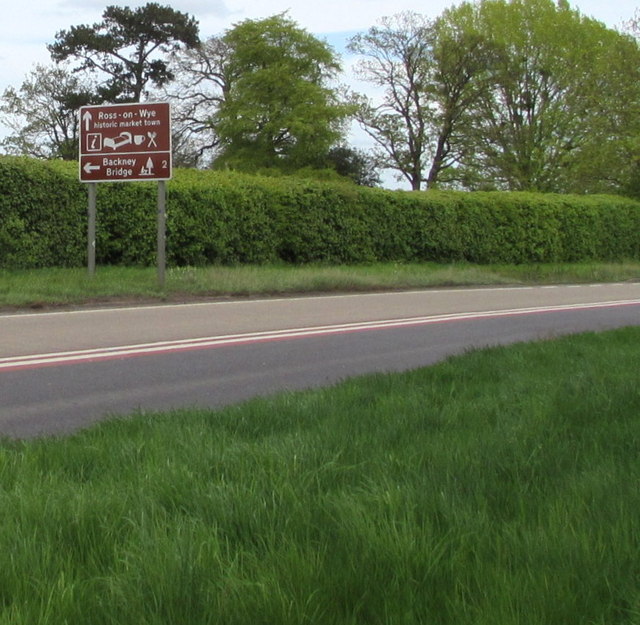
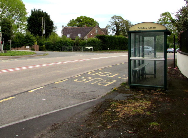
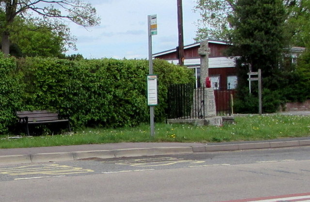
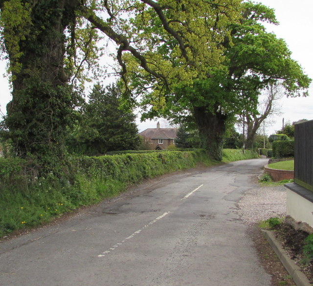
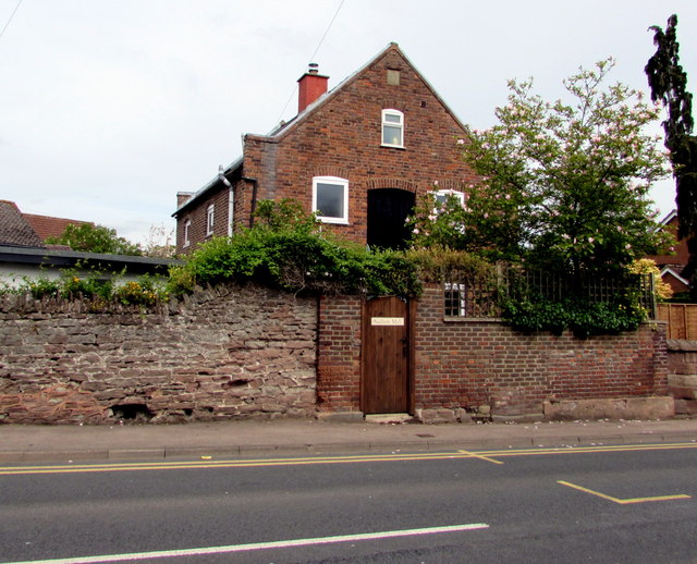
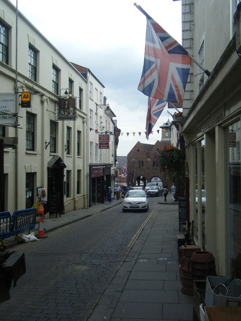
Archenfield Images
Images are sourced within 2km of 51.908064/-2.591018 or Grid Reference SO5923. Thanks to Geograph Open Source API. All images are credited.


Archenfield is located at Grid Ref: SO5923 (Lat: 51.908064, Lng: -2.591018)
Unitary Authority: County of Herefordshire
Police Authority: West Merica
What 3 Words
///brotherly.figs.coffee. Near Ross on Wye, Herefordshire
Nearby Locations
Related Wikis
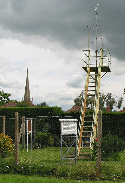
Ross-on-Wye weather station
The Ross-on-Wye weather station is a weather station, now fully automated, situated off the Walford Road in Ross-on-Wye, Herefordshire, England. ��2�...

Ross Town F.C.
Ross Town F.C. was a football club based in Ross-on-Wye, Herefordshire, England. The club was formed in the summer of 1993 following the amalgamation of...

Ross-on-Wye
Ross-on-Wye is a market town and civil parish in Herefordshire, England, near the border with Wales. It had a population estimated at 10,978 in 2021. It...

Herefordshire Trail
The Herefordshire Trail is a long distance footpath in Herefordshire, England. == Route and distance == The trail, running for 154 miles (248 km) as a...
Related Videos
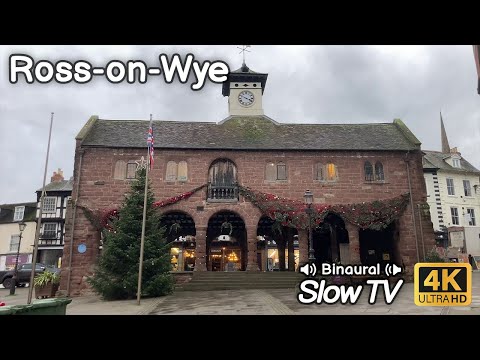
Walking a Short Loop of Ross-on-Wye Town Centre - Slow TV
On our recent holiday to Monmouthshire we visited Hay-on-Wye and then while we were out we paid a short visit to Ross-on-Wye ...

A Look Around Ross on Wye | The Birthplace of British Tourism??
A Look Around Ross on Wye. The Birthplace of British Tourism?? In this video we take a look around the town of Ross-on-Wye in ...

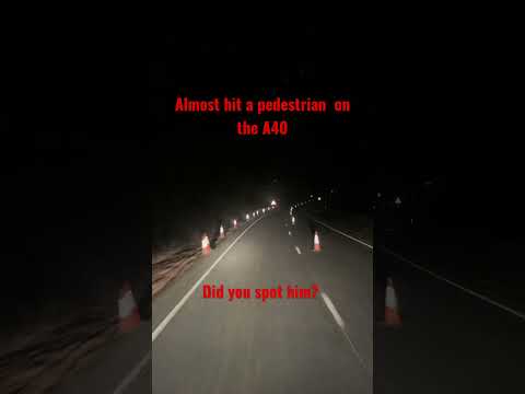
Nearly killed a pedestrian walking on the road
Driving from Birmingham to Bridgend I was surprised to see a pedestrian walking along the A40 in black clothing. Not wearing ...
Nearby Amenities
Located within 500m of 51.908064,-2.591018Have you been to Archenfield?
Leave your review of Archenfield below (or comments, questions and feedback).