Ashfield
Settlement in Hampshire Test Valley
England
Ashfield
Ashfield is a small village located in the county of Hampshire, England. Situated approximately 5 miles east of Winchester, it belongs to the South Downs National Park and is surrounded by picturesque countryside. The village is home to a population of around 500 residents, making it a close-knit and tight community.
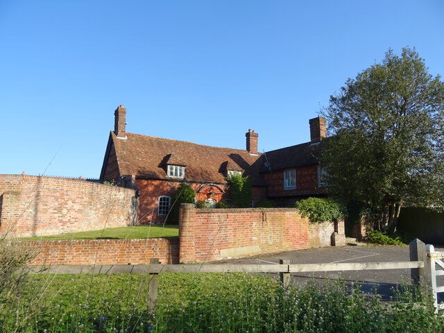
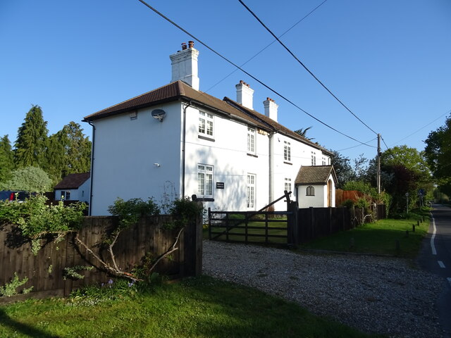
Ashfield is known for its charming rural character, with traditional thatched cottages and historic buildings dotting its landscape. The village has a rich history, dating back to medieval times, and has preserved many of its architectural gems. St. Mary's Church, a beautiful 12th-century Norman church, stands proudly at the heart of the village and serves as a focal point for both the religious and social activities of the community.
Despite its small size, Ashfield boasts a strong sense of community spirit. The village has a vibrant social scene, with regular events and activities organized by various community groups. The local pub, The Ashfield Arms, is a popular gathering spot for residents and visitors alike, offering a warm and friendly atmosphere.
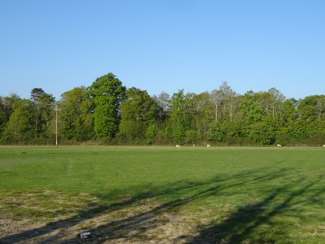
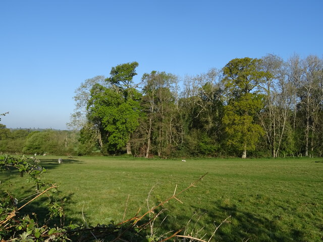
Surrounded by rolling hills and lush green fields, Ashfield provides ample opportunities for outdoor activities. The village is crisscrossed by footpaths and bridleways, making it an ideal destination for hikers, cyclists, and horse riders. The nearby South Downs Way, a long-distance trail, further enhances the village's appeal to outdoor enthusiasts.
In summary, Ashfield is a charming and close-knit village in Hampshire, England. With its rich history, picturesque surroundings, and strong community spirit, it offers a tranquil and idyllic setting for residents and visitors alike.
If you have any feedback on the listing, please let us know in the comments section below.
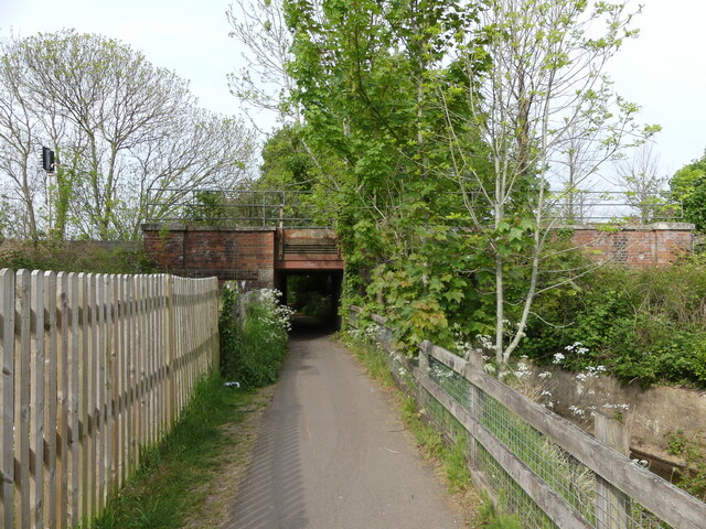
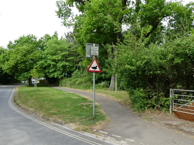
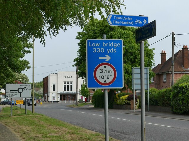
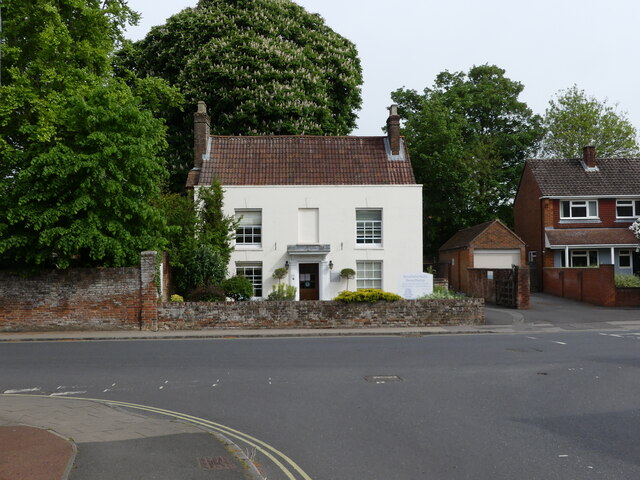
Ashfield Images
Images are sourced within 2km of 50.974135/-1.477956 or Grid Reference SU3619. Thanks to Geograph Open Source API. All images are credited.


Ashfield is located at Grid Ref: SU3619 (Lat: 50.974135, Lng: -1.477956)
Administrative County: Hampshire
District: Test Valley
Police Authority: Hampshire
What 3 Words
///marsh.code.corrects. Near North Baddesley, Hampshire
Nearby Locations
Related Wikis

The Mountbatten School
The Mountbatten School is an 11–16 secondary school located on Whitenap Lane in Romsey, Hampshire, England. The school is an Academy, but opened in 1969...

RS Sailing
RS Sailing is an international designer, builder and supplier of sailboats and dinghies and associated goods and services supported by a worldwide dealer...

Broadlands
Broadlands is a country house located in the civil parish of Romsey Extra, near the town of Romsey in the Test Valley district of Hampshire, England. Its...
Ashfield, Hampshire
Ashfield is a small village in the Test Valley district of Hampshire, England. It lies 1.6 miles (2.5 km) south-east from Romsey, its nearest town. It...

Romsey and Southampton North (UK Parliament constituency)
Romsey and Southampton North is a constituency represented in the House of Commons of the UK Parliament since its 2010 creation by Caroline Nokes for the...

Romsey Extra
Romsey Extra was a civil parish in the Borough of Test Valley and the English county of Hampshire. At the 2011 census, it had a population of 3,276, although...

Toothill Fort
Toothill Fort, or Toothill Ring, or Toothill camp, is the site of an Iron Age univallate hill fort located in Hampshire. The site occupies an extremely...
Romsey Town F.C.
Romsey Town Football Club is a football club based in Romsey, Hampshire, England. The club competes in the Wessex League Division One which is the tenth...
Nearby Amenities
Located within 500m of 50.974135,-1.477956Have you been to Ashfield?
Leave your review of Ashfield below (or comments, questions and feedback).