Ashfield Copse

Wood, Forest in Hampshire Test Valley

England

Ashfield Copse

A3057 towards Romsey
A3057 towards Romsey Credit: JThomas

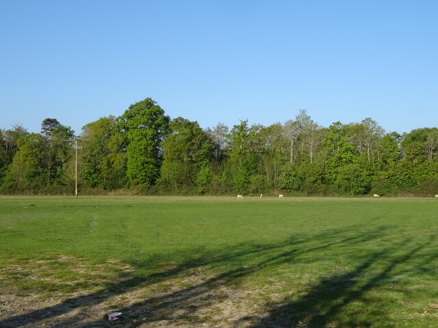
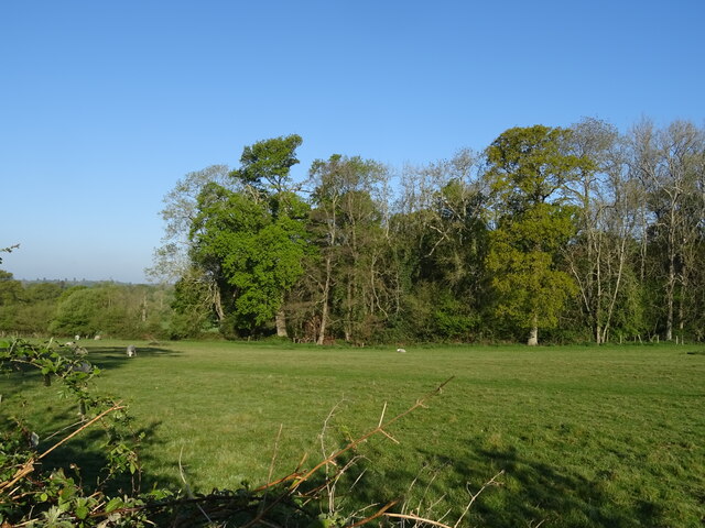
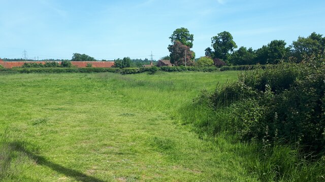
Ashfield Copse is a picturesque woodland located in Hampshire, England. Covering an area of approximately 50 hectares, this forest is known for its diverse range of flora and fauna, making it a popular destination for nature enthusiasts and hikers.

The copse is primarily composed of deciduous trees, such as oak, beech, and birch, creating a stunning display of colors during the autumn months. The forest floor is rich in wildflowers, including bluebells, primroses, and wood anemones, which add to the beauty of the landscape. The dense canopy provides shelter for a variety of wildlife, including deer, badgers, and numerous bird species.

The woodland is crisscrossed by a network of well-maintained footpaths, allowing visitors to explore its natural wonders. These paths lead to several clearings, which are ideal spots for picnics or simply enjoying the tranquility of the surroundings. There is also a small stream that runs through Ashfield Copse, providing a peaceful ambiance and offering a refreshing sight during the summer months.

Ashfield Copse is managed by the local authorities, who ensure the preservation and conservation of the woodland. Visitors are encouraged to respect the natural environment and adhere to the guidelines for responsible outdoor activities. There are information boards scattered throughout the forest, offering interesting facts about the flora and fauna found within.

Overall, Ashfield Copse offers a serene and captivating experience for individuals seeking to immerse themselves in the beauty of Hampshire's natural landscapes.

If you have any feedback on the listing, please let us know in the comments section below.

Ashfield Copse Images

Images are sourced within 2km of 50.971572/-1.4781608 or Grid Reference SU3619. Thanks to Geograph Open Source API. All images are credited.

A3057 towards Romsey
Field off Lee Drove
Field off Lee Drove
Lee Drove Off the A3057.
Lee Drove
Off the A3057.
Grazing and woodland, Ashfield Off the A3057.
Grazing and woodland, Ashfield
Off the A3057.
A3057, Ashfield approaching roundabout
Grazing towards Beggarspath Wood Off the A3057.
Grazing towards Beggarspath Wood
Off the A3057.
The Luzborough House, Romsey On Luzborough Lane.
See <a href="https://www.geograph.org.uk/photo/7302390">SU3720 : Sign for the Luzborough House, Romsey</a> for sign.
The Luzborough House, Romsey
On Luzborough Lane. See SU3720 : Sign for the Luzborough House, Romsey for sign.
The Luzborough House, Romsey On Luzborough Lane.
See <a href="https://www.geograph.org.uk/photo/7302390">SU3720 : Sign for the Luzborough House, Romsey</a> for sign.
The Luzborough House, Romsey
On Luzborough Lane. See SU3720 : Sign for the Luzborough House, Romsey for sign.
Sign for the Luzborough House, Romsey See <a href="https://www.geograph.org.uk/photo/7302388">SU3720 : The Luzborough House, Romsey</a> and <a href="https://www.geograph.org.uk/photo/7302389">SU3720 : The Luzborough House, Romsey</a> for context.
Sign for the Luzborough House, Romsey
Luzborough Lane (A27) approaching roundabout
Grazing near Lee Manor Farm
Autumn morning at Lavington Gardens Playing Field
Wooden barn at Skidmore
Field at Lee The long red-roofed building is at Lee Park Farm.
Field at Lee
The long red-roofed building is at Lee Park Farm.
River Test at Lee Looking north from the bridge near Longbridge Farm.
River Test at Lee
Looking north from the bridge near Longbridge Farm.
The River Test Five miles from my start at the southern end of the Test Way, and this is the first proper view of the river. The clarity of its chalk-fed water is striking.
The River Test
Five miles from my start at the southern end of the Test Way, and this is the first proper view of the river. The clarity of its chalk-fed water is striking.
New balancing pond on edge of housing development New pond just north of the entrance road from Sylvan Drive. The sales suite is visible on the left.
New balancing pond on edge of housing development
New pond just north of the entrance road from Sylvan Drive. The sales suite is visible on the left.
Houses in Pottenger Road This housing development is now five years old. For a nearby view during construction see <a href="https://www.geograph.org.uk/photo/5935010">SU3720 : New houses at Luzborough Green</a>.
Houses in Pottenger Road
This housing development is now five years old. For a nearby view during construction see SU3720 : New houses at Luzborough Green.
Show me another place!

Ashfield Copse is located at Grid Ref: SU3619 (Lat: 50.971572, Lng: -1.4781608)

Administrative County: Hampshire

District: Test Valley

Police Authority: Hampshire

What 3 Words

///overjoyed.they.superbly. Near North Baddesley, Hampshire

Nearby Locations

Ashfield Ashfield Copse

Related Wikis

Ashfield, Hampshire

Ashfield is a small village in the Test Valley district of Hampshire, England. It lies 1.6 miles (2.5 km) south-east from Romsey, its nearest town. It...

RS Sailing

RS Sailing is an international designer, builder and supplier of sailboats and dinghies and associated goods and services supported by a worldwide dealer...

The Mountbatten School

The Mountbatten School is an 11–16 secondary school located on Whitenap Lane in Romsey, Hampshire, England. The school is an Academy, but opened in 1969...

Lee, Hampshire

Lee is a hamlet and civil parish in the Test Valley district of Hampshire, England. Its nearest town is Romsey, which lies approximately 3.7 miles (4.5...

Toothill Fort

Toothill Fort, or Toothill Ring, or Toothill camp, is the site of an Iron Age univallate hill fort located in Hampshire. The site occupies an extremely...

Broadlands

Broadlands is a country house located in the civil parish of Romsey Extra, near the town of Romsey in the Test Valley district of Hampshire, England. Its...

Romsey Extra

Romsey Extra was a civil parish in the Borough of Test Valley and the English county of Hampshire. At the 2011 census, it had a population of 3,276, although...

Romsey and Southampton North (UK Parliament constituency)

Romsey and Southampton North is a constituency represented in the House of Commons of the UK Parliament since its 2010 creation by Caroline Nokes for the...

Nearby Amenities

Located within 500m of 50.971572,-1.4781608
Barrier: stile
Lat/Long: 50.9730034/-1.479508
Power: pole
Lat/Long: 50.9678299/-1.4811175
Power: pole
Lat/Long: 50.9707929/-1.4812271
Power: pole
Lat/Long: 50.9733534/-1.4818815
Power: pole
Lat/Long: 50.9698003/-1.4810384
Power: pole
Lat/Long: 50.9701553/-1.4810715
Power: pole
Lat/Long: 50.9740407/-1.4820514
Power: pole
Lat/Long: 50.972682/-1.4817112
Power: pole
Lat/Long: 50.9691914/-1.4810773
Power: pole
Lat/Long: 50.9747104/-1.4822316
Power: pole
Lat/Long: 50.9684845/-1.4811068
Power: pole
Lat/Long: 50.9714009/-1.4813826
Power: pole
Lat/Long: 50.9720402/-1.4815476
Information: guidepost
Tourism: information
Lat/Long: 50.9717921/-1.4718496
Power: pole
Lat/Long: 50.970345/-1.4844965
Power: pole
Lat/Long: 50.9692835/-1.4822728
Power: pole
Lat/Long: 50.9698043/-1.4837012
Power: pole
Lat/Long: 50.9696576/-1.4798789
Ashfield
Place: hamlet
Lat/Long: 50.9755643/-1.4797693
The data included in this document is from www.openstreetmap.org. The data is made available under ODbL.

Have you been to Ashfield Copse?

Leave your review of Ashfield Copse below (or comments, questions and feedback).