Gedling Wood

Wood, Forest in Nottinghamshire Gedling

England

Gedling Wood

On the first day of Christmas . . . . . . the birds couldn't get their numbers right - neither six geese a-laying nor seven swans a-swimming.
On the first day of Christmas . . . Credit: Alan Murray-Rust

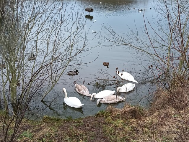
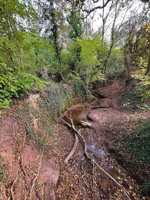
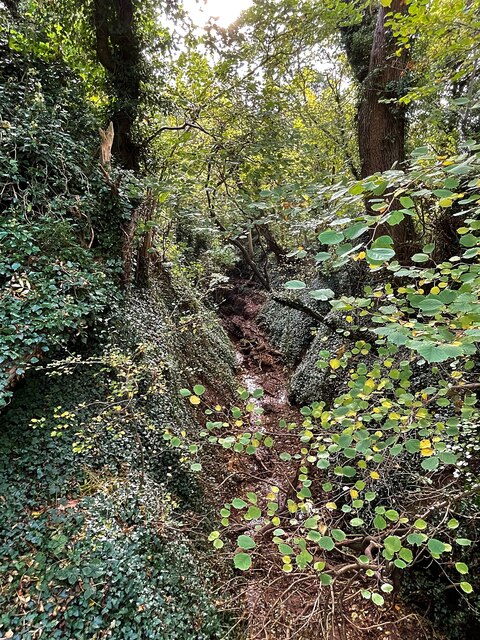
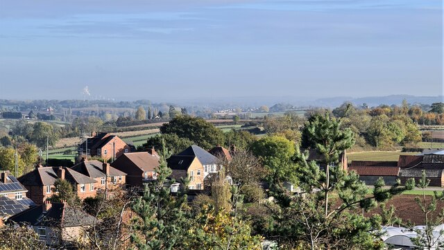
Gedling Wood is a picturesque woodland located in Nottinghamshire, England. Covering an area of approximately 240 acres, it is a popular destination for nature enthusiasts and visitors seeking tranquility away from the bustling city life.

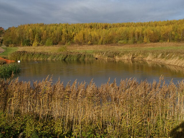
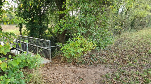
The wood is primarily composed of native broadleaf trees such as oak, birch, and ash, creating a diverse and vibrant ecosystem. The canopy of the wood provides shade and shelter for numerous species of wildlife, including birds, squirrels, and deer. In spring, the forest floor comes alive with a carpet of bluebells, adding a burst of color to the landscape.

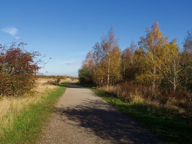
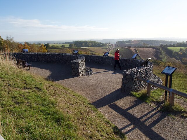
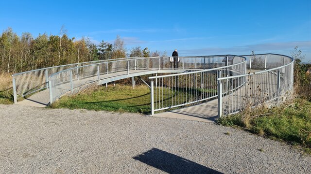
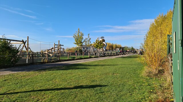
The wood is crisscrossed with a network of well-maintained footpaths, allowing visitors to explore the area and enjoy its natural beauty. There are also several picnic spots scattered throughout the wood, providing an opportunity for visitors to relax and take in the peaceful surroundings.

Gedling Wood is managed by the Forestry Commission, who work to maintain its biodiversity and protect its wildlife. They also organize various educational activities throughout the year, offering visitors the chance to learn more about the local flora and fauna.

Located just a few miles from Nottingham city center, Gedling Wood is easily accessible by car and public transport. It is a perfect destination for a leisurely walk, a family outing, or simply a peaceful retreat in the heart of nature.

If you have any feedback on the listing, please let us know in the comments section below.
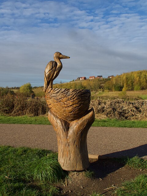
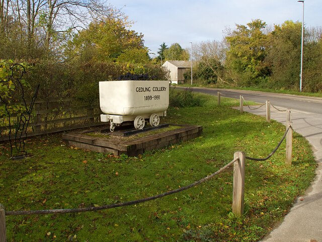
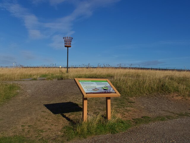
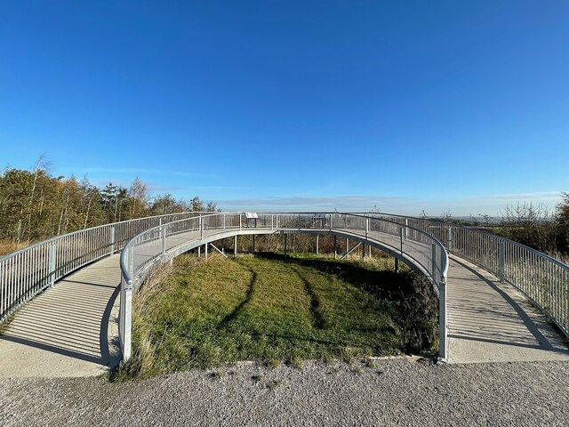
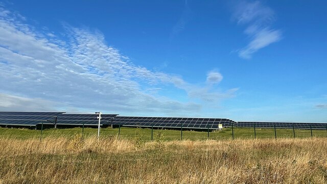
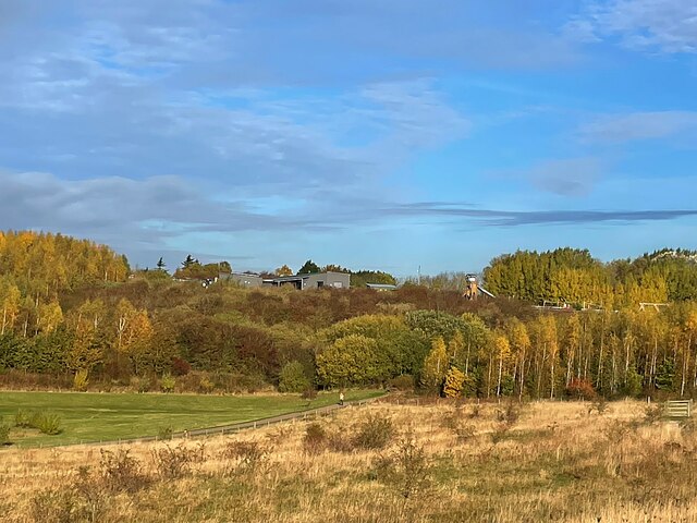
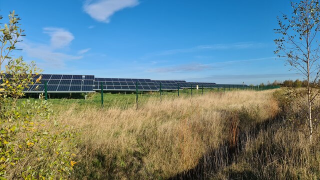
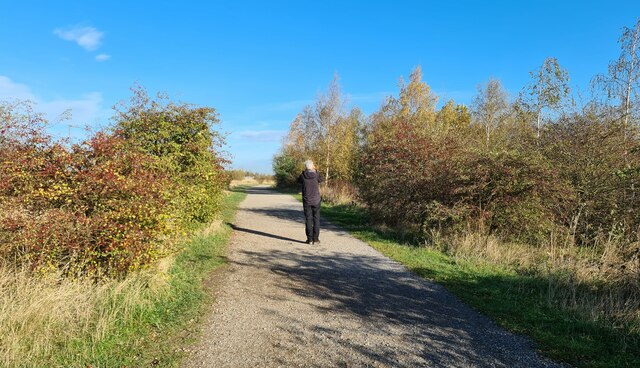
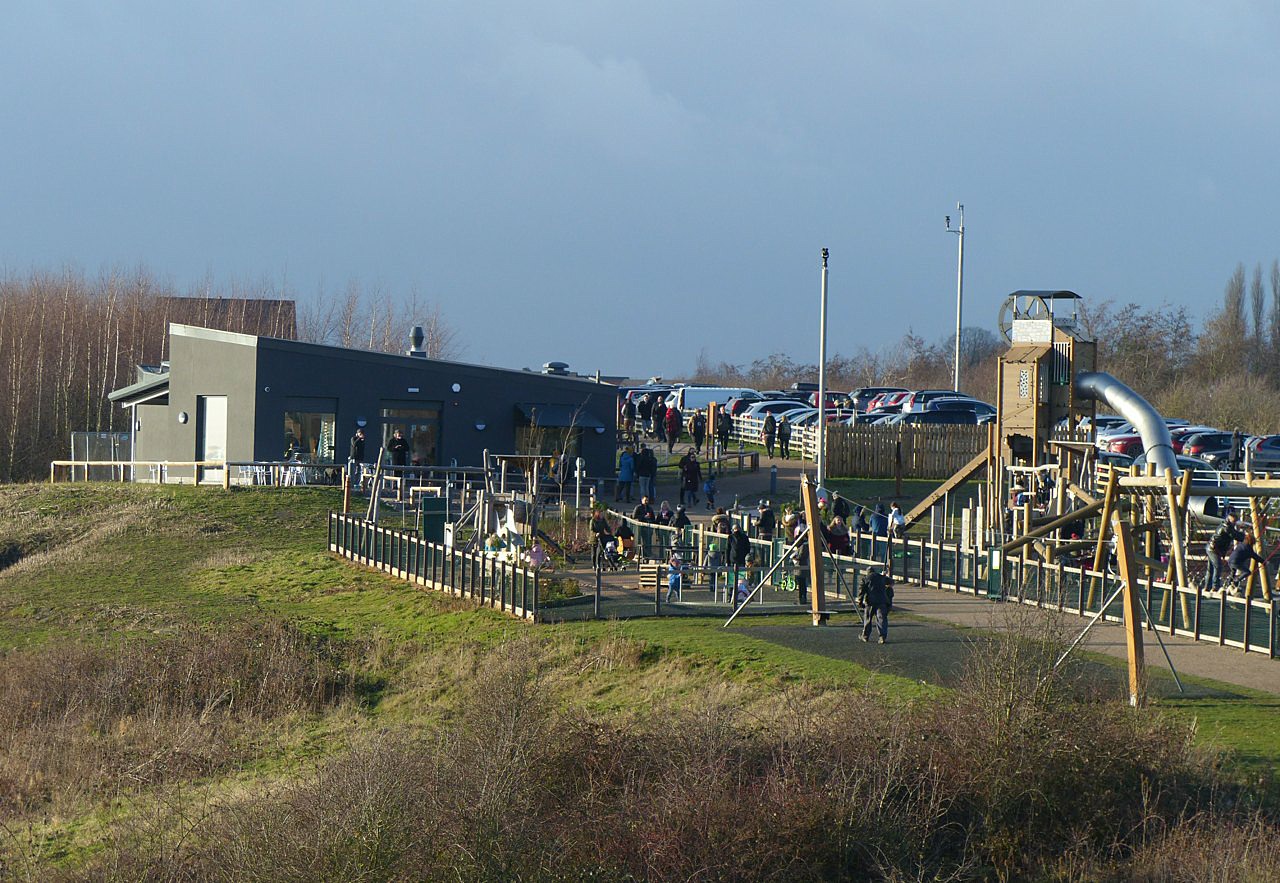
Gedling Wood Images

Images are sourced within 2km of 52.983292/-1.0686306 or Grid Reference SK6243. Thanks to Geograph Open Source API. All images are credited.

On the first day of Christmas . . . . . . the birds couldn't get their numbers right - neither six geese a-laying nor seven swans a-swimming.
On the first day of Christmas . . .
. . . the birds couldn't get their numbers right - neither six geese a-laying nor seven swans a-swimming.
Path in Gedling Country Park The park is on the grounds of the former Gedling Colliery, which closed in 1991.  The site was converted into the present country park in 2015.
Path in Gedling Country Park
The park is on the grounds of the former Gedling Colliery, which closed in 1991. The site was converted into the present country park in 2015.
The South Viewing Platform in Gedling Country Park Providing extensive views to the south and west over Nottingham and the Trent Valley.
The South Viewing Platform in Gedling Country Park
Providing extensive views to the south and west over Nottingham and the Trent Valley.
Lagoon in Gedling Country Park .
Gedling Country Park was established as such by Gedling Borough Council in 2014 and opened to the public in 2015. It comprises the area of the waste tips of the former Gedling Colliery which closed in 1991.

The area of the colliery itself is excluded from the park and is not formally open to the public, although there are some unbarriered access points.

The park is largely open ground sloping steeply to the south west, resulting from artificial and natural seeding of grass and limited scrub woodland to maintain stability of the waste material.

Much of the open space is fenced off to provide protection for ground nesting birds such as skylark and lapwing which are already a feature of the Park. The result is that human activity is largely restricted to the extensive network of paths. These have been developed as multi-user routes, suitable for pedestrians, cyclists and, within the constraints of the steep nature of the site, wheelchair users. There are 4 defined circuits, of different lengths, named after the various seams mined by the colliery – High Hazles, Main Bright, Top Hard, Low Hazles.

There are three lagoons, one in the upper area and two at the foot of the Park.   These are part of the overall drainage scheme for the tip, an essential feature to maintain the stability of the spoil. These lagoons are being managed as wildlife habitats for both birds and invertebrates.

As at the end of 2017, the following features have been established. An extensive children's play area was opened in 2016, including the Mining Tower, a slide feature reflecting the former winding headgear of the colliery.

A visitor centre with cafe, toilets and terrace opened in June 2017, and will eventually incorporate displays covering the history of the colliery. The cafe has the name 'Cafe 1899', reflecting the date when the colliery commenced operation.

A Memorial Garden on the slopes below the visitor centre opened in April 2017.  This incorporates a pergola formed from a series of the rings used to support the roof of one of the main underground roadways of the colliery. In December 2017 a flame-shaped sculpture was unveiled, with cut-outs of various aspects of mining.

Two features of note are not within the park itself. On the highest part of the tip a large solar farm with an output of 5.74MW has been established as an enclave within the park, but not of it. Within its boundaries wildlife in the form of the ground nesting birds mentioned above flourishes. Within the old colliery area itself, a small generating plant has been set up, fuelled by methane tapped from the remaining coal underground.
Lagoon in Gedling Country Park
. Gedling Country Park was established as such by Gedling Borough Council in 2014 and opened to the public in 2015. It comprises the area of the waste tips of the former Gedling Colliery which closed in 1991. The area of the colliery itself is excluded from the park and is not formally open to the public, although there are some unbarriered access points. The park is largely open ground sloping steeply to the south west, resulting from artificial and natural seeding of grass and limited scrub woodland to maintain stability of the waste material. Much of the open space is fenced off to provide protection for ground nesting birds such as skylark and lapwing which are already a feature of the Park. The result is that human activity is largely restricted to the extensive network of paths. These have been developed as multi-user routes, suitable for pedestrians, cyclists and, within the constraints of the steep nature of the site, wheelchair users. There are 4 defined circuits, of different lengths, named after the various seams mined by the colliery – High Hazles, Main Bright, Top Hard, Low Hazles. There are three lagoons, one in the upper area and two at the foot of the Park. These are part of the overall drainage scheme for the tip, an essential feature to maintain the stability of the spoil. These lagoons are being managed as wildlife habitats for both birds and invertebrates. As at the end of 2017, the following features have been established. An extensive children's play area was opened in 2016, including the Mining Tower, a slide feature reflecting the former winding headgear of the colliery. A visitor centre with cafe, toilets and terrace opened in June 2017, and will eventually incorporate displays covering the history of the colliery. The cafe has the name 'Cafe 1899', reflecting the date when the colliery commenced operation. A Memorial Garden on the slopes below the visitor centre opened in April 2017. This incorporates a pergola formed from a series of the rings used to support the roof of one of the main underground roadways of the colliery. In December 2017 a flame-shaped sculpture was unveiled, with cut-outs of various aspects of mining. Two features of note are not within the park itself. On the highest part of the tip a large solar farm with an output of 5.74MW has been established as an enclave within the park, but not of it. Within its boundaries wildlife in the form of the ground nesting birds mentioned above flourishes. Within the old colliery area itself, a small generating plant has been set up, fuelled by methane tapped from the remaining coal underground.
Wood sculpture in Gedling Country Park The sculpture is of a grey heron which can sometimes be seen fishing in the adjacent lagoon.
Wood sculpture in Gedling Country Park
The sculpture is of a grey heron which can sometimes be seen fishing in the adjacent lagoon.
The Spring Lane entrance to Gedling Country Park Featuring a wagon typical of those used in the former colliery on which the park has been developed.
The Spring Lane entrance to Gedling Country Park
Featuring a wagon typical of those used in the former colliery on which the park has been developed.
Exposition Board in Gedling Country Park Giving details of the solar power installation and the extraction of methane gas from the abandioned mine workings.
Exposition Board in Gedling Country Park
Giving details of the solar power installation and the extraction of methane gas from the abandioned mine workings.
The North Viewing Platform in Gedling Country Park Providing extensive views to the north and east with Lincoln Cathedral said to be visible on a clear day, some 28 miles distant.
The North Viewing Platform in Gedling Country Park
Providing extensive views to the north and east with Lincoln Cathedral said to be visible on a clear day, some 28 miles distant.
From coal power to solar power This solar farm in Gedling Country Park on the site of  the former Gedling Colliery is capable of generating 5.7 MW, enough to power 1,700 homes.
From coal power to solar power
This solar farm in Gedling Country Park on the site of the former Gedling Colliery is capable of generating 5.7 MW, enough to power 1,700 homes.
Gedling Country Park .
Gedling Country Park was established as such by Gedling Borough Council in 2014 and opened to the public in 2015. It comprises the area of the waste tips of the former Gedling Colliery which closed in 1991.

The area of the colliery itself is excluded from the park and is not formally open to the public, although there are some unbarriered access points.

The park is largely open ground sloping steeply to the south west, resulting from artificial and natural seeding of grass and limited scrub woodland to maintain stability of the waste material.

Much of the open space is fenced off to provide protection for ground nesting birds such as skylark and lapwing which are already a feature of the Park. The result is that human activity is largely restricted to the extensive network of paths. These have been developed as multi-user routes, suitable for pedestrians, cyclists and, within the constraints of the steep nature of the site, wheelchair users. There are 4 defined circuits, of different lengths, named after the various seams mined by the colliery – High Hazles, Main Bright, Top Hard, Low Hazles.

There are three lagoons, one in the upper area and two at the foot of the Park.   These are part of the overall drainage scheme for the tip, an essential feature to maintain the stability of the spoil. These lagoons are being managed as wildlife habitats for both birds and invertebrates.

As at the end of 2017, the following features have been established. An extensive children's play area was opened in 2016, including the Mining Tower, a slide feature reflecting the former winding headgear of the colliery.

A visitor centre with cafe, toilets and terrace opened in June 2017, and will eventually incorporate displays covering the history of the colliery. The cafe has the name 'Cafe 1899', reflecting the date when the colliery commenced operation.

A Memorial Garden on the slopes below the visitor centre opened in April 2017.  This incorporates a pergola formed from a series of the rings used to support the roof of one of the main underground roadways of the colliery. In December 2017 a flame-shaped sculpture was unveiled, with cut-outs of various aspects of mining.

Two features of note are not within the park itself. On the highest part of the tip a large solar farm with an output of 5.74MW has been established as an enclave within the park, but not of it. Within its boundaries wildlife in the form of the ground nesting birds mentioned above flourishes. Within the old colliery area itself, a small generating plant has been set up, fuelled by methane tapped from the remaining coal underground.
Gedling Country Park
. Gedling Country Park was established as such by Gedling Borough Council in 2014 and opened to the public in 2015. It comprises the area of the waste tips of the former Gedling Colliery which closed in 1991. The area of the colliery itself is excluded from the park and is not formally open to the public, although there are some unbarriered access points. The park is largely open ground sloping steeply to the south west, resulting from artificial and natural seeding of grass and limited scrub woodland to maintain stability of the waste material. Much of the open space is fenced off to provide protection for ground nesting birds such as skylark and lapwing which are already a feature of the Park. The result is that human activity is largely restricted to the extensive network of paths. These have been developed as multi-user routes, suitable for pedestrians, cyclists and, within the constraints of the steep nature of the site, wheelchair users. There are 4 defined circuits, of different lengths, named after the various seams mined by the colliery – High Hazles, Main Bright, Top Hard, Low Hazles. There are three lagoons, one in the upper area and two at the foot of the Park. These are part of the overall drainage scheme for the tip, an essential feature to maintain the stability of the spoil. These lagoons are being managed as wildlife habitats for both birds and invertebrates. As at the end of 2017, the following features have been established. An extensive children's play area was opened in 2016, including the Mining Tower, a slide feature reflecting the former winding headgear of the colliery. A visitor centre with cafe, toilets and terrace opened in June 2017, and will eventually incorporate displays covering the history of the colliery. The cafe has the name 'Cafe 1899', reflecting the date when the colliery commenced operation. A Memorial Garden on the slopes below the visitor centre opened in April 2017. This incorporates a pergola formed from a series of the rings used to support the roof of one of the main underground roadways of the colliery. In December 2017 a flame-shaped sculpture was unveiled, with cut-outs of various aspects of mining. Two features of note are not within the park itself. On the highest part of the tip a large solar farm with an output of 5.74MW has been established as an enclave within the park, but not of it. Within its boundaries wildlife in the form of the ground nesting birds mentioned above flourishes. Within the old colliery area itself, a small generating plant has been set up, fuelled by methane tapped from the remaining coal underground.
Top Dumble One of the Lambley Dumbles, a local dialect word for a steep-sided watercourse flowing through woodland.
Top Dumble
One of the Lambley Dumbles, a local dialect word for a steep-sided watercourse flowing through woodland.
One of the Lambley Dumbles Dumble is a local dialect word for a steep-sided watercourse flowing through woodland.
One of the Lambley Dumbles
Dumble is a local dialect word for a steep-sided watercourse flowing through woodland.
North-East viewing platform, Gedling Country Park
View from North-East viewing platform, Gedling Country Park
Playground at Gedling Country Park
Footbridge over Lambley Dumble Spot the photographer recording the stream!
Footbridge over Lambley Dumble
Spot the photographer recording the stream!
Solar Farm in Gedling Country Park Site of old coal workings and now providing clean energy
Solar Farm in Gedling Country Park
Site of old coal workings and now providing clean energy
Path through Gedling Country Park
Show me another place!

Gedling Wood is located at Grid Ref: SK6243 (Lat: 52.983292, Lng: -1.0686306)

Administrative County: Nottinghamshire

District: Gedling

Police Authority: Nottinghamshire

What 3 Words

///stands.claps.duty. Near Burton Joyce, Nottinghamshire

Related Wikis

Carlton le Willows Academy

Carlton le Willows Academy is an 11–18 mixed, secondary school and sixth form with academy status in Gedling, Nottinghamshire, England. It is part of the...

Borough of Gedling

Gedling is a local government district with borough status in Nottinghamshire, England. The council is based in Arnold. The borough also includes Carlton...

Gedling and Carlton railway station

Gedling and Carlton railway station was a former railway station built to serve the villages of Gedling and Carlton in Nottinghamshire. == History... ==

Mary Hardstaff Homes

The Mary Hardstaff Homes, are 10 almshouses on Arnold Lane in Gedling, Nottingham. These were built as Almshouses in 1936 for the widows and orphans of...

Gedling

Gedling is a village and former civil parish which gives its name to the larger Borough of Gedling in Nottinghamshire, England. It lies 4 miles (6.4 km...

Carlton Town F.C.

Carlton Town Football Club is a semi-professional football club based in Gedling, Nottinghamshire, England. Founded in 1904 as Sneinton Football Club,...

Gedling Country Park

Gedling Country Park is a country park in Gedling, Nottingham, England. == History == The park is on the grounds of the former Gedling Colliery, which...

Sherwood Academy

Sherwood Academy (formerly Sherwood E-ACT Academy, The Gedling School and Gedling Secondary Modern) was a secondary school with academy status located...

Related Videos

OMG Knee Deep In MUD... That's Lambley | Local Walk In Nottingham

Okay...maybe not knee deep but you get the picture! A great little local walk in Nottingham! Has anyone else been for a walk in ...

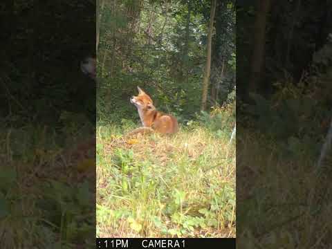
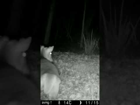
Fox scratching, having a good itch.

Fox having a satisfying itch.

Nearby Amenities

Located within 500m of 52.983292,-1.0686306
Give Way
Lat/Long: 52.9799948/-1.0733979
Give Way
Lat/Long: 52.9805729/-1.0721113
Image: https://www.mapillary.com/map/im/ykQzNi-Aa277dRdUDgaaag
Lat/Long: 52.9798822/-1.0726364
Barrier: kissing_gate
Foot: yes
Wheelchair: limited
Lat/Long: 52.9826291/-1.071856
Barrier: kissing_gate
Foot: yes
Image: https://www.mapillary.com/map/im/AxFmhPVHl5xdVAwFQY_0Zw
Maxwidth: 1
Lat/Long: 52.9811727/-1.0720392
Fixme: Continues
Lat/Long: 52.9793615/-1.0694274
Barrier: kissing_gate
Image: https://www.mapillary.com/map/im/w48D0mrkUgxQDuEw0uwIsg
Lat/Long: 52.9793973/-1.0694275
Post Box
Collection Times: Mo-Fr 09:00; Sa 07:00
Image: https://www.mapillary.com/map/im/93zvmHe94ba7NN_bGKoENA
Operator: Royal Mail
Operator Wikidata: Q638098
Post Box Manufacturer: Carron Company, Stirlingshire
Post Box Type: lamp
Ref: NG4 491D
Royal Cypher: EIIR
Royal Cypher Wikidata: Q33102113
Source: survey
Lat/Long: 52.9800199/-1.07349
Image: https://www.mapillary.com/map/im/93zvmHe94ba7NN_bGKoENA
Man Made: street_cabinet
Note: is used for postman to store mail bags in while delivering
Operator: Royal Mail
Operator Wikidata: Q638098
Post Box Type: lamp
Street Cabinet: postal_service
Lat/Long: 52.9800251/-1.0734851
Give Way
Lat/Long: 52.9800489/-1.0724818
Image: https://www.mapillary.com/map/im/Ab1c1hL65Xf55FSoriN_ZQ
Operator: EMGB
Pipeline: valve
Ref: 4
Substance: gas
Lat/Long: 52.9806449/-1.0720205
Grit Bin
Email: waste@gedling.gov.uk
Image: https://www.mapillary.com/map/im/Ab1c1hL65Xf55FSoriN_ZQ
Note: 2015-10-01: tel 0300 500 80 80 for refills
Phone: +44 115 901 3621
Source: survey
Website: http://www.gedling.gov.uk/wasterecyclingenvironment/winteradverseweather/roadgrittinggrittingbins/
Lat/Long: 52.980657/-1.0720232
Hinge: horizontal
Image: https://www.mapillary.com/map/im/0X_qtTswqaDayQT2n-FxZA
Man Made: street_cabinet
Operator: Virgin Media
Operator Previous: Diamond Cable
Operator Wikidata: Q1199764
Ref: CSA 146
Ref Virgin Tel: 0870 888 3116
Utility: telecom
Lat/Long: 52.9804585/-1.0714671
Hinge: horizontal
Image: https://www.mapillary.com/map/im/0X_qtTswqaDayQT2n-FxZA
Man Made: street_cabinet
Operator: Virgin Media
Operator Previous: Diamond Cable
Operator Wikidata: Q1199764
Ref: 1642
Ref Virgin Tel: 0870 888 3116
Utility: telecom
Lat/Long: 52.9804633/-1.0714792
Give Way
Lat/Long: 52.9803098/-1.0711999
Give Way
Lat/Long: 52.9799736/-1.0705062
Grit Bin
Email: waste@gedling.gov.uk
Image: https://www.mapillary.com/map/im/3yjFWZeSwdise8c4ij-fGQ
Note: 2015-10-01: tel 0300 500 80 80 for refills
Phone: +44 115 901 3621
Source: survey
Website: http://www.gedling.gov.uk/wasterecyclingenvironment/winteradverseweather/roadgrittinggrittingbins/
Lat/Long: 52.9799834/-1.0704178
Hinge: horizontal
Image: https://www.mapillary.com/map/im/E0wNqXrGKzB7Ebv-BFPLmw
Man Made: street_cabinet
Operator: Virgin Media
Operator Previous: Diamond Cable
Operator Wikidata: Q1199764
Ref: 1641
Ref Virgin Tel: 0870 888 3116
Utility: telecom
Lat/Long: 52.979904/-1.0729855
Hinge: horizontal
Image: https://www.mapillary.com/map/im/lnhfoDWRPepSR4iTDxRlTg
Man Made: street_cabinet
Operator: Virgin Media
Operator Previous: Diamond Cable
Operator Wikidata: Q1199764
Ref Virgin Tel: 0870 888 3116
Utility: telecom
Lat/Long: 52.9797401/-1.0701786
Waste Basket
Image: https://www.mapillary.com/map/im/tQVWOL92L93Q7SweG5D5Nw
Waste: dog_excrement
Lat/Long: 52.9794124/-1.0694068
Gedling House Woods and Meadows
Description: Information Board, map, contact details, etc.
Email: leisure@gedling.gov.uk
Image: https://www.mapillary.com/map/im/CJVMrRuk_3VjNoym6eQbCw
Operator: Gedling Borough Council
Phone: +44 115 901 3901
Tourism: information
Website: https://www.fghw.org.uk/
Lat/Long: 52.9794711/-1.0695563
Image: https://www.mapillary.com/map/im/7AaZKSvTwQuNPBMrZEalyg
Man Made: street_cabinet
Note: is used for postman to store mail bags in while delivering
Old Operator: Post Office
Operator: Royal Mail
Post Box Type: lamp
Street Cabinet: postal_service
Lat/Long: 52.9794635/-1.069561
Generator Method: photovoltaic
Generator Output Electricity: yes
Generator Source: solar
Generator Type: solar_photovoltaic_panel
Location: roof
Power: generator
Lat/Long: 52.9809216/-1.0715354
Generator Method: photovoltaic
Generator Output Electricity: yes
Generator Source: solar
Generator Type: solar_photovoltaic_panel
Location: roof
Power: generator
Lat/Long: 52.9803265/-1.0709761
Crossing
Button Operated: yes
Crossing: traffic_signals
Crossing Island: no
Crossing Ref: puffin
Kerb: lowered
Tactile Paving: yes
Lat/Long: 52.9836223/-1.07272
Barrier: swing_gate
Lat/Long: 52.983588/-1.0727636
Barrier: fence
Lat/Long: 52.9801681/-1.0648638
Barrier: kissing_gate
Lat/Long: 52.9842887/-1.0712755
The data included in this document is from www.openstreetmap.org. The data is made available under ODbL.

Have you been to Gedling Wood?

Leave your review of Gedling Wood below (or comments, questions and feedback).