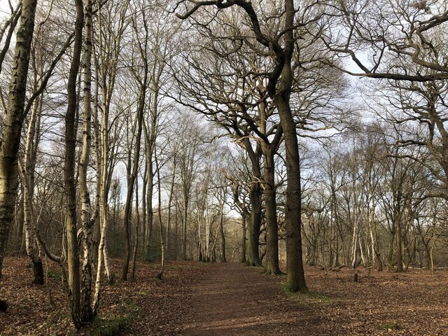
Robert's Plantation
Wood, Forest in Nottinghamshire Newark and Sherwood
England
Robert's Plantation
Robert's Plantation is a sprawling estate located in Nottinghamshire, specifically in the Wood and Forest area. Covering a vast area of land, the plantation is known for its picturesque landscapes and rich natural resources. The plantation is named after its original owner, Robert, who established it several decades ago.
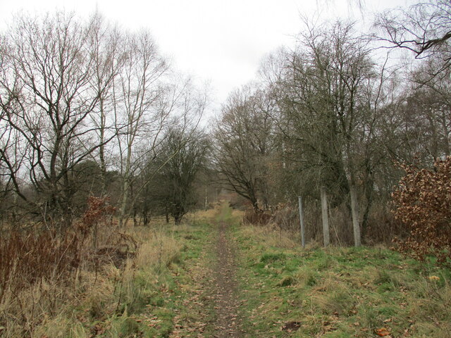
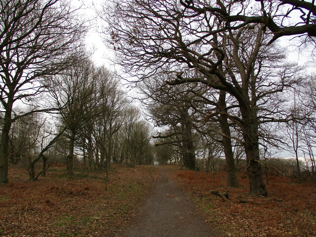
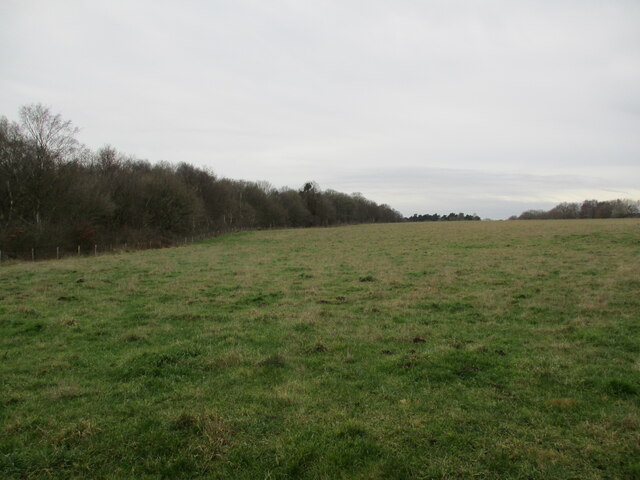
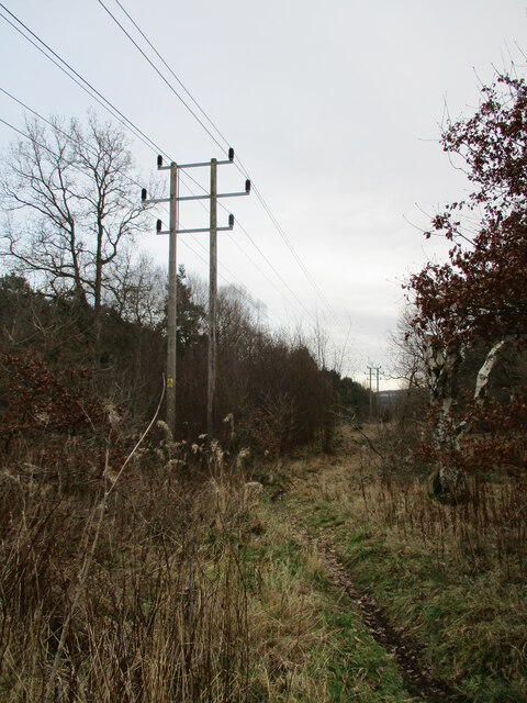
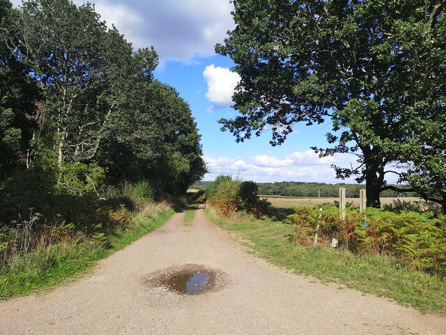
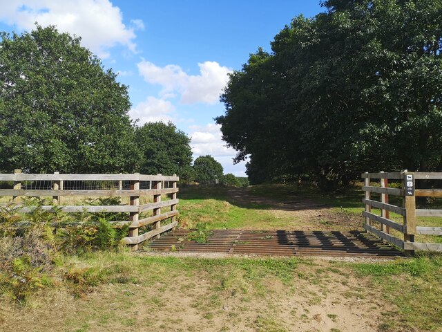
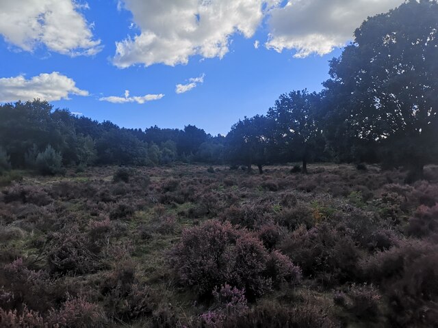
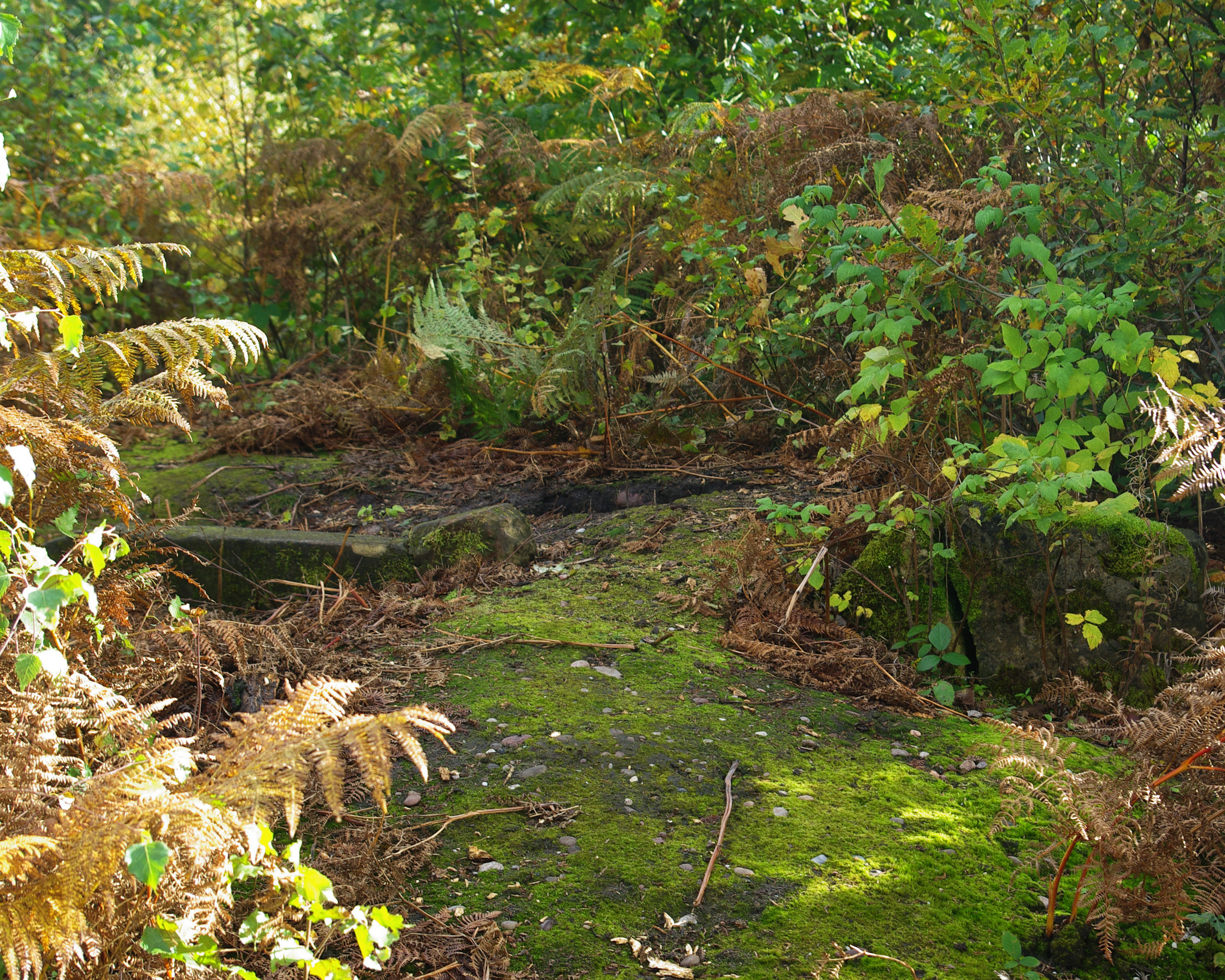
The plantation is characterized by its dense and diverse forest cover, consisting of various species of trees, including oak, pine, and beech. These trees not only provide a scenic beauty to the estate but also serve as a habitat for a wide range of wildlife, including deer, rabbits, and a variety of bird species. The forest is meticulously maintained to ensure the preservation of its natural integrity.
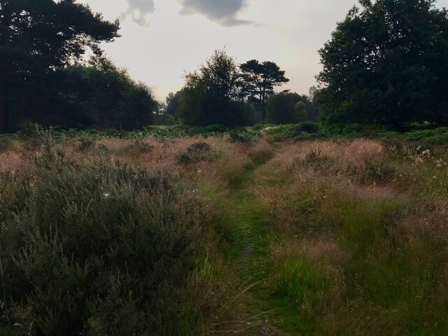
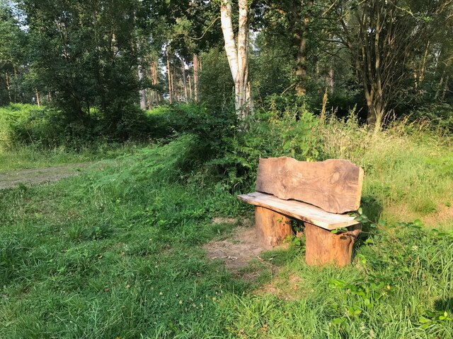
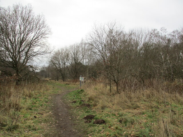
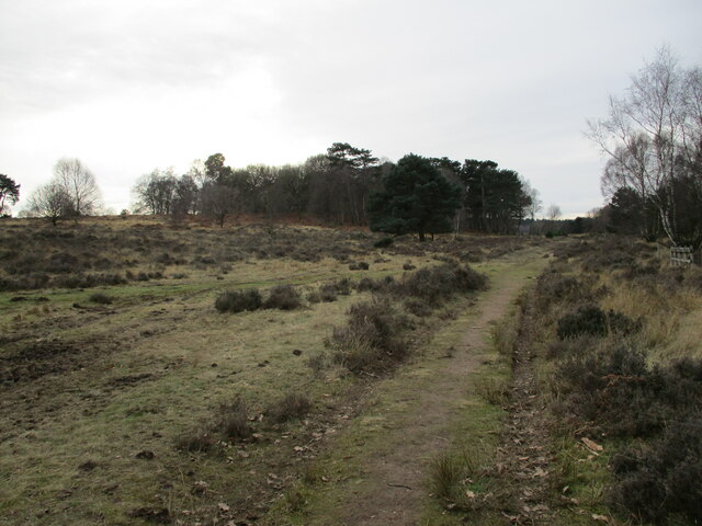
Beyond its natural beauty, Robert's Plantation offers a haven for outdoor enthusiasts. The estate features numerous walking trails that allow visitors to explore the stunning woodlands and immerse themselves in nature. These trails are well-maintained and provide various levels of difficulty, catering to both casual walkers and avid hikers.
Additionally, the plantation offers educational programs and workshops focused on environmental conservation and sustainable forestry practices. These initiatives aim to raise awareness about the importance of preserving and protecting the natural resources found within the plantation.
Overall, Robert's Plantation in Nottinghamshire is a remarkable destination that combines natural beauty, recreational opportunities, and environmental stewardship. It continues to attract visitors from near and far who seek to connect with nature and appreciate the splendor of the Wood and Forest region.
If you have any feedback on the listing, please let us know in the comments section below.
Robert's Plantation Images
Images are sourced within 2km of 53.206766/-1.0638382 or Grid Reference SK6268. Thanks to Geograph Open Source API. All images are credited.


Robert's Plantation is located at Grid Ref: SK6268 (Lat: 53.206766, Lng: -1.0638382)
Administrative County: Nottinghamshire
District: Newark and Sherwood
Police Authority: Nottinghamshire
What 3 Words
///growl.info.reheat. Near Edwinstowe, Nottinghamshire
Nearby Locations
Related Wikis

Major Oak
The Major Oak is a large English oak (Quercus robur) near the village of Edwinstowe in the midst of Sherwood Forest, Nottinghamshire, England. According...

Sherwood Forest
Sherwood Forest is a royal forest in Nottinghamshire, England. Its peculiar fame arises from its historic association with the legend of Robin Hood. The...

Thoresby Colliery
Thoresby Colliery was a coal mine in north Nottinghamshire on the outskirts of Edwinstowe village. The mine, which opened in 1925, was the last working...
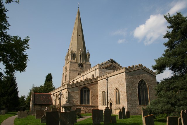
St Mary's Church, Edwinstowe
St Mary's Church is a Grade I listed parish church in the Church of England in Edwinstowe. The Boundary Wall, Gate, Steps And Overthrow At Church Of St...

The Rufford School
Rufford Comprehensive School (later just The Rufford School) was a secondary school in the village of Edwinstowe in Nottinghamshire, England which opened...
Edwinstowe railway station
Edwinstowe railway station is a former railway station in Edwinstowe, Nottinghamshire, England. == History == The station was opened by the Lancashire...
Budby
Budby is a hamlet and former civil parish, now in the parish of Perlethorpe cum Budby, in the Newark and Sherwood district, in the county of Nottinghamshire...
Thynghowe
Thynghowe was an important Viking Era open-air assembly place or thing, located at Sherwood Forest, in Nottinghamshire, England. It was lost to history...
Nearby Amenities
Located within 500m of 53.206766,-1.0638382Have you been to Robert's Plantation?
Leave your review of Robert's Plantation below (or comments, questions and feedback).