Harvey's Plantation
Wood, Forest in Nottinghamshire Gedling
England
Harvey's Plantation
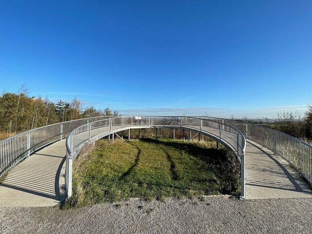
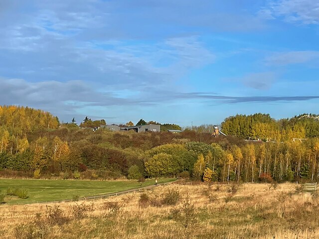
Harvey's Plantation is a scenic woodland located in Nottinghamshire, England. Nestled in the heart of the county, this plantation is a haven for nature enthusiasts and those seeking a tranquil escape from the urban hustle and bustle.
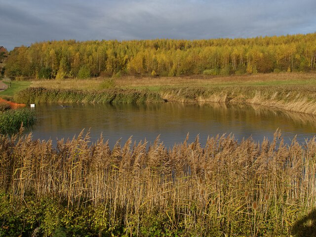
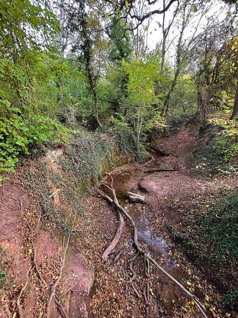
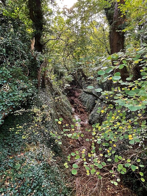
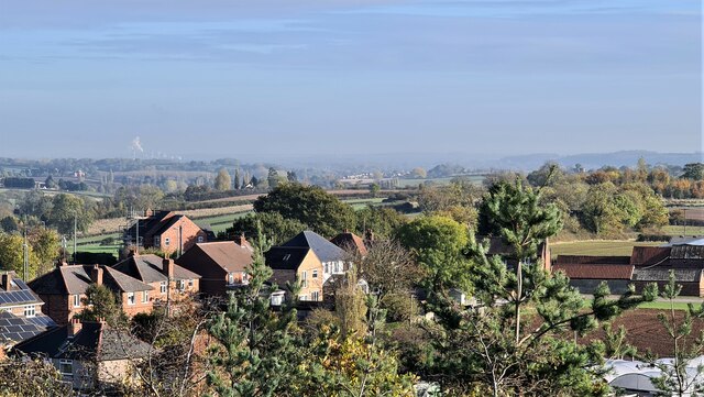
Covering an area of approximately 100 acres, Harvey's Plantation is a mix of ancient and newly planted trees, creating a diverse ecosystem that supports a wide variety of flora and fauna. The woodland is predominantly made up of oak, birch, and beech trees, which provide a stunning backdrop throughout the year, especially during the vibrant autumn months when the foliage transforms into a kaleidoscope of colors.
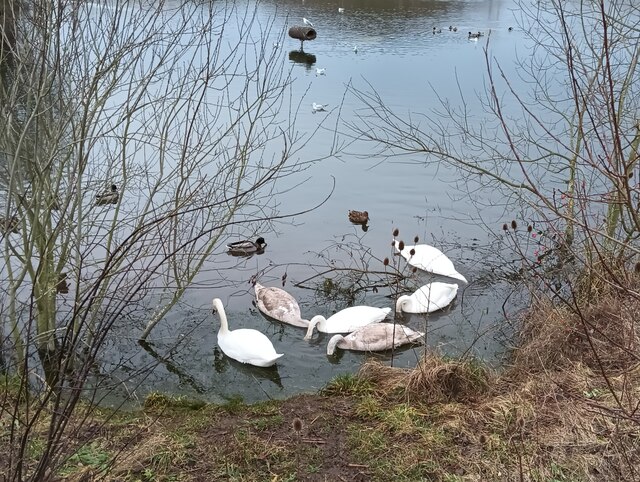
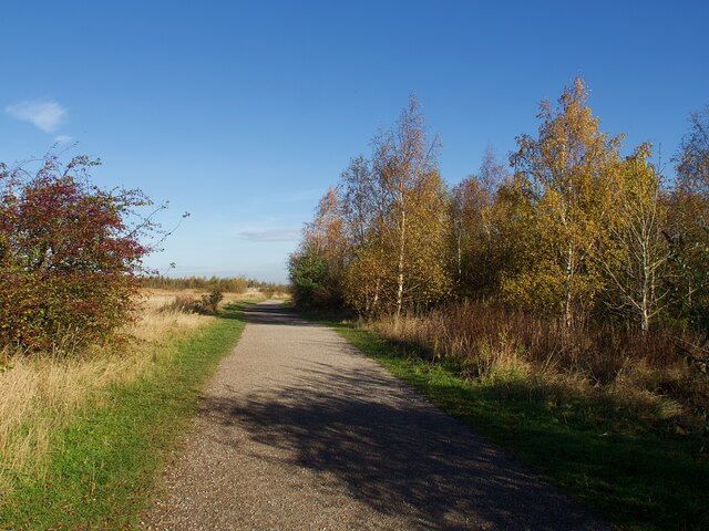
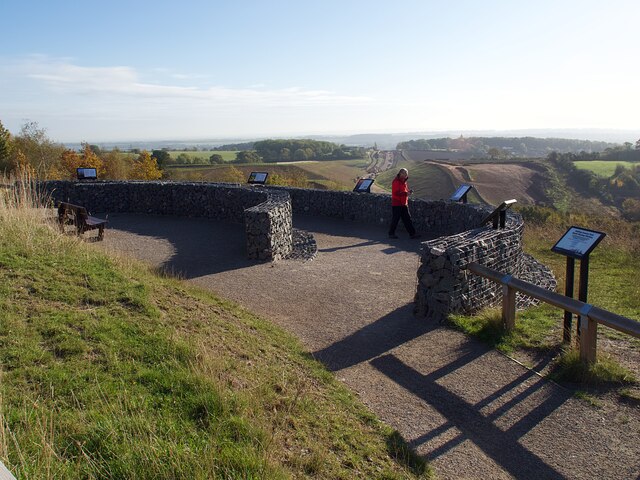
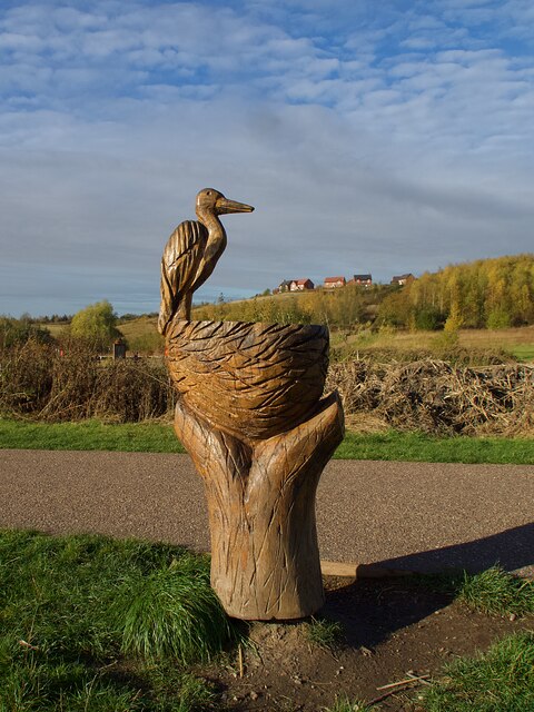
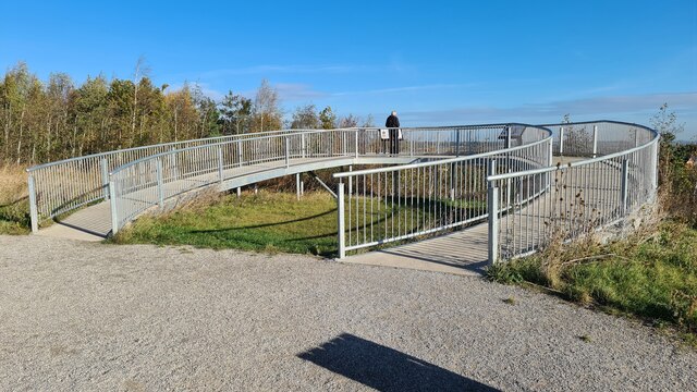
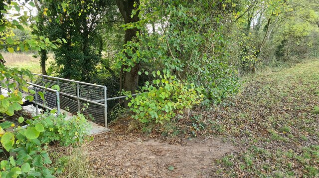
Walking through Harvey's Plantation, visitors will find a network of well-maintained footpaths and trails that lead to several picturesque spots. The plantation is home to a serene lake, where visitors can enjoy a leisurely picnic or simply sit back and appreciate the peaceful surroundings. The lake is also a haven for birdwatchers, as it attracts a range of waterfowl and other avian species.
In addition to its natural beauty, Harvey's Plantation also offers educational opportunities. The plantation hosts workshops and guided tours, providing visitors with insights into the local ecology and the importance of woodland conservation. These educational initiatives are particularly popular among school groups and nature enthusiasts.
Overall, Harvey's Plantation is a serene and enchanting woodland that offers a respite from the modern world. With its diverse flora and fauna, picturesque trails, and educational programs, it is a must-visit destination for those seeking a connection with nature in Nottinghamshire.
If you have any feedback on the listing, please let us know in the comments section below.
Harvey's Plantation Images
Images are sourced within 2km of 52.983156/-1.0776748 or Grid Reference SK6243. Thanks to Geograph Open Source API. All images are credited.

Harvey's Plantation is located at Grid Ref: SK6243 (Lat: 52.983156, Lng: -1.0776748)
Administrative County: Nottinghamshire
District: Gedling
Police Authority: Nottinghamshire
What 3 Words
///sticks.pinch.trendy. Near Burton Joyce, Nottinghamshire
Nearby Locations
Related Wikis

Mary Hardstaff Homes
The Mary Hardstaff Homes, are 10 almshouses on Arnold Lane in Gedling, Nottingham. These were built as Almshouses in 1936 for the widows and orphans of...

Borough of Gedling
Gedling is a local government district with borough status in Nottinghamshire, England. The council is based in Arnold. The borough also includes Carlton...

Gedling
Gedling is a village and former civil parish which gives its name to the larger Borough of Gedling in Nottinghamshire, England. It lies 4 miles (6.4 km...

Sherwood Academy
Sherwood Academy (formerly Sherwood E-ACT Academy, The Gedling School and Gedling Secondary Modern) was a secondary school with academy status located...
Gedling and Carlton railway station
Gedling and Carlton railway station was a former railway station built to serve the villages of Gedling and Carlton in Nottinghamshire. == History... ==
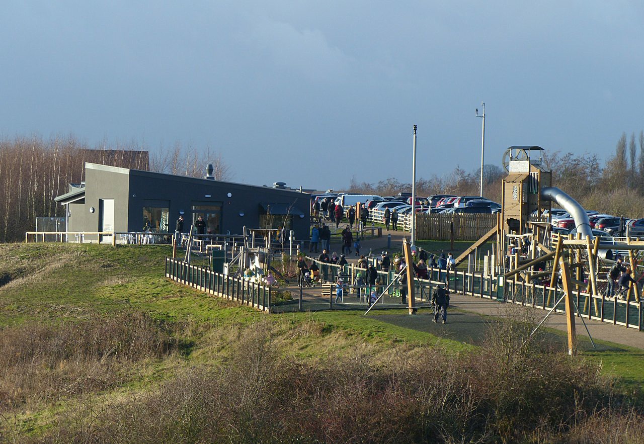
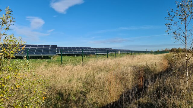
Gedling Country Park
Gedling Country Park is a country park in Gedling, Nottingham, England. == History == The park is on the grounds of the former Gedling Colliery, which...

Carlton le Willows Academy
Carlton le Willows Academy is an 11–18 mixed, secondary school and sixth form with academy status in Gedling, Nottinghamshire, England. It is part of the...
Carlton Town F.C.
Carlton Town Football Club is a semi-professional football club based in Gedling, Nottinghamshire, England. Founded in 1904 as Sneinton Football Club,...
Nearby Amenities
Located within 500m of 52.983156,-1.0776748Have you been to Harvey's Plantation?
Leave your review of Harvey's Plantation below (or comments, questions and feedback).