Seven Acres

Wood, Forest in Nottinghamshire Bassetlaw

England

Seven Acres

Private road on the Foljambe Estate The road is on the line of the runway of former RAF Worksop which was operational between 1943 and 1960. Although still shown on the OS map few traces of the airfield are visible today.
Private road on the Foljambe Estate Credit: Graham Hogg

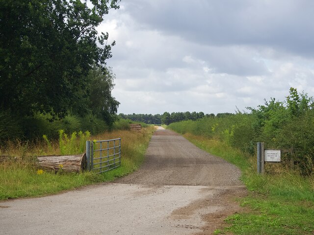
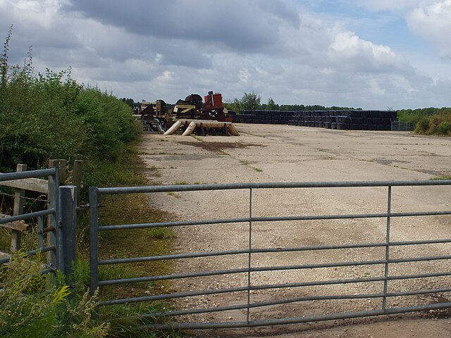
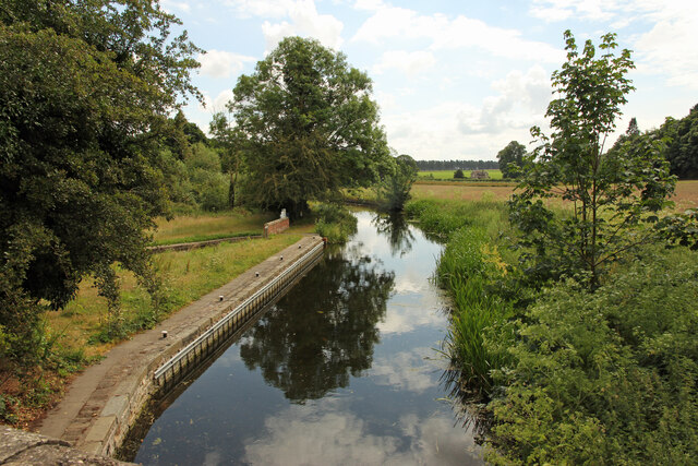
Seven Acres is a picturesque woodland area located in Nottinghamshire, England. Situated near the village of Wood, this forested landscape spans approximately seven acres, hence its name. It is a popular destination for nature lovers, hikers, and those seeking tranquility in a natural setting.

The woodland is characterized by its diverse range of trees, including oak, beech, birch, and conifers. The dense canopy provides a cool and shady environment, particularly during the summer months. Walking through the forest, visitors can admire the vibrant hues of green and listen to the soothing sounds of birdsong.

The forest floor is covered in a rich carpet of moss, ferns, and wildflowers, adding to the overall beauty and biodiversity of the area. It is not uncommon to spot various wildlife species, such as squirrels, rabbits, and a variety of bird species, including woodpeckers and owls.

There are several well-maintained trails that wind their way through Seven Acres, offering visitors the opportunity to explore the area at their own pace. These paths are suitable for both leisurely strolls and more vigorous hikes, catering to a wide range of fitness levels.

Seven Acres is also home to a small pond, which provides a peaceful spot for reflection and a habitat for various aquatic species. The surrounding areas offer picnic spots and benches, allowing visitors to relax and enjoy the serene atmosphere.

Overall, Seven Acres in Nottinghamshire is a nature lover's paradise, offering a serene and enchanting escape from the hustle and bustle of everyday life.

If you have any feedback on the listing, please let us know in the comments section below.
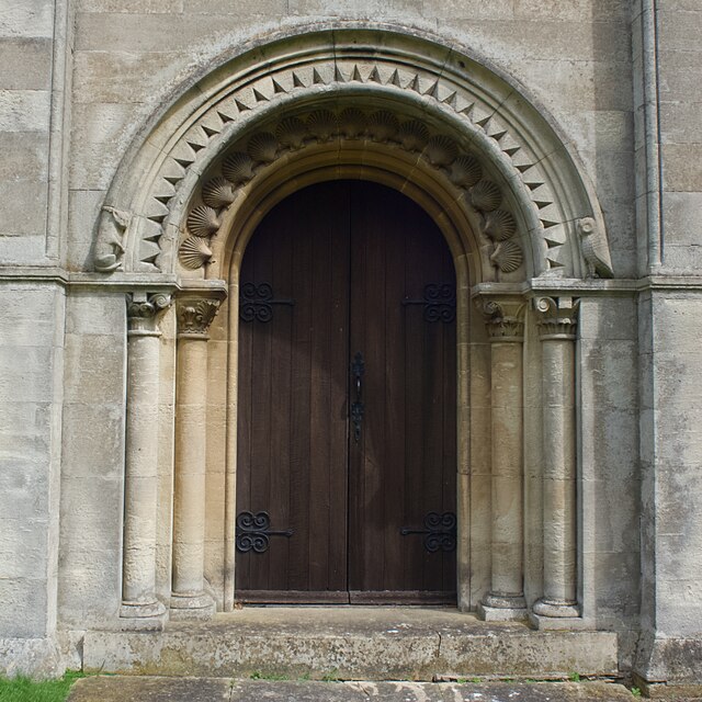
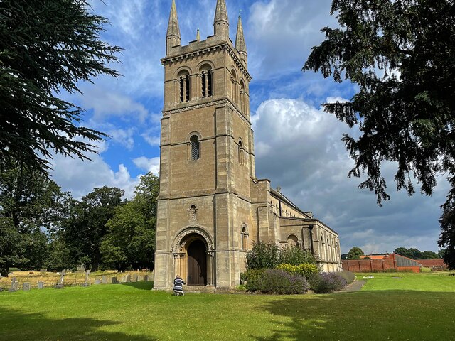
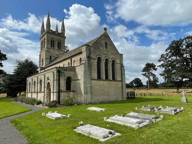
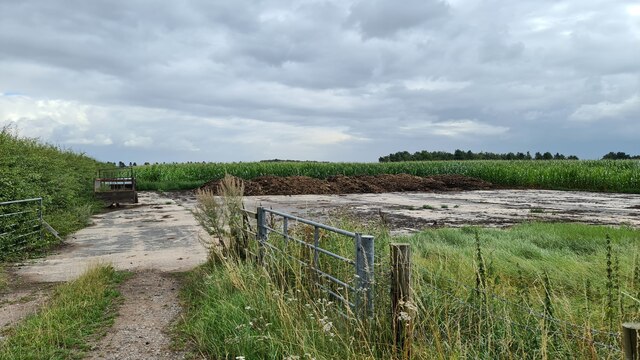
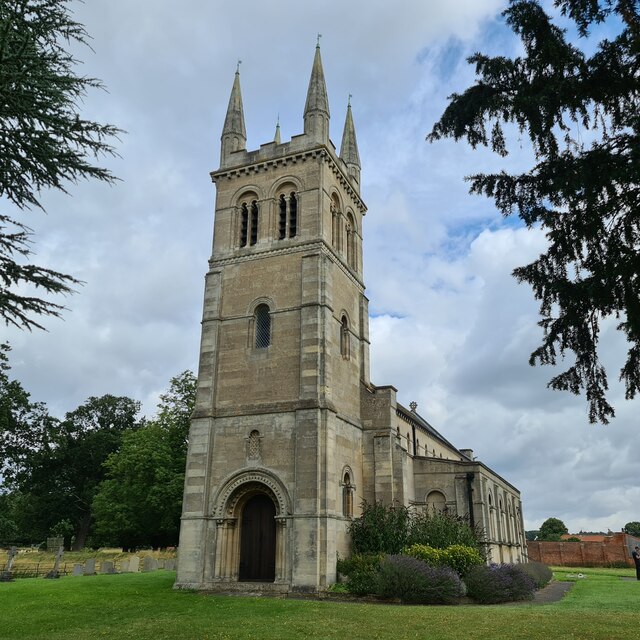
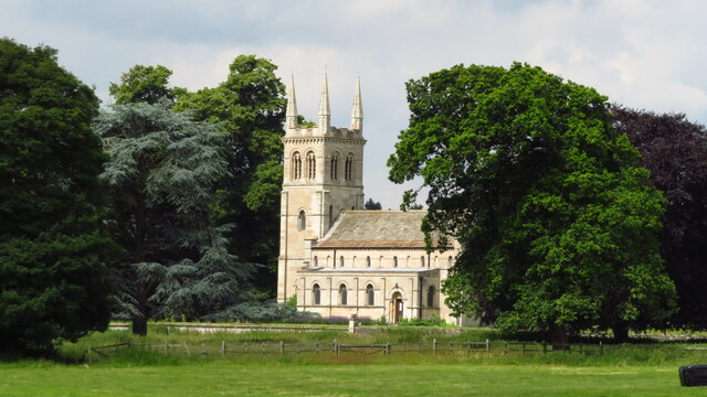
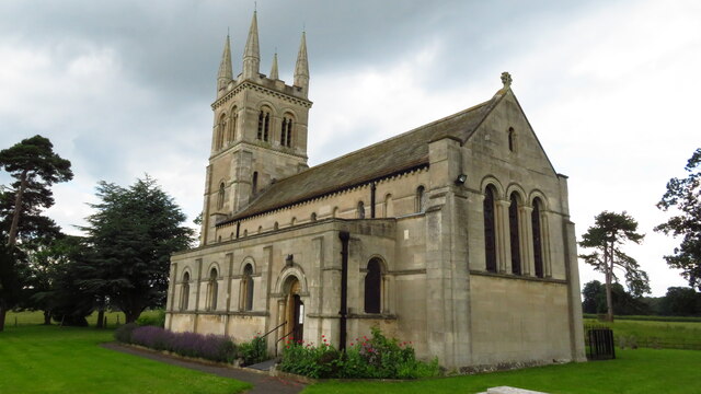
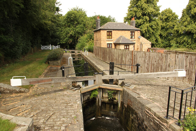
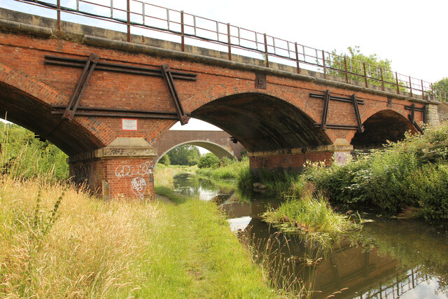
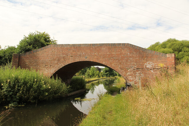
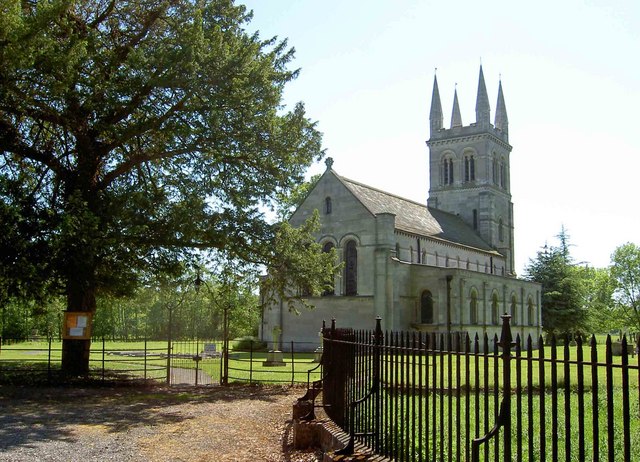
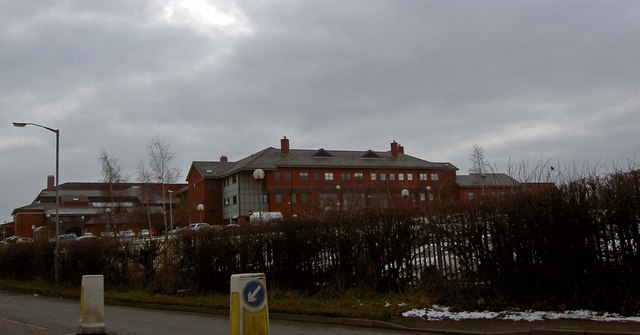
Seven Acres Images

Images are sourced within 2km of 53.31072/-1.0654684 or Grid Reference SK6279. Thanks to Geograph Open Source API. All images are credited.

Private road on the Foljambe Estate The road is on the line of the runway of former RAF Worksop which was operational between 1943 and 1960. Although still shown on the OS map few traces of the airfield are visible today.
Private road on the Foljambe Estate
The road is on the line of the runway of former RAF Worksop which was operational between 1943 and 1960. Although still shown on the OS map few traces of the airfield are visible today.
Farm storage   Once the runway of RAF Worksop which was operational between 1943 and 1960. Although still shown on the OS map few traces of the airfield are visible today.
The area holds bales of silage and horse jumping fences.
Farm storage
Once the runway of RAF Worksop which was operational between 1943 and 1960. Although still shown on the OS map few traces of the airfield are visible today. The area holds bales of silage and horse jumping fences.
Mystery building in Scofton With barred windows on the ground floor, louvred shutters on the upper floor and a security camera that monitored our movements as we walked along the path to the church I wonder what's inside?
Mystery building in Scofton
With barred windows on the ground floor, louvred shutters on the upper floor and a security camera that monitored our movements as we walked along the path to the church I wonder what's inside?
A shepherd's grave In the graveyard of the church of St John.
A shepherd's grave
In the graveyard of the church of St John.
The west door of St John's Church.  Look carefully and you will see carvings of an owl and a cat at the feet of the arch - these are said to be the inspiration for Edward Lear's nonsense poem 'The Owl and the Pussycat'.
The west door of St John's Church.
Look carefully and you will see carvings of an owl and a cat at the feet of the arch - these are said to be the inspiration for Edward Lear's nonsense poem 'The Owl and the Pussycat'.
The church of St John A grade II listed parish church built in 1833 as a private chapel to Osberton Hall. My fellow geographer is apparently saying his prayers at the west door.
The church of St John
A grade II listed parish church built in 1833 as a private chapel to Osberton Hall. My fellow geographer is apparently saying his prayers at the west door.
Foljambe family graves The Foljambes, owners of the Osberton Hall estate, are buried by the east end of the church. Most of these graves are aligned east-west but two are aligned north-south. I wonder why?
Foljambe family graves
The Foljambes, owners of the Osberton Hall estate, are buried by the east end of the church. Most of these graves are aligned east-west but two are aligned north-south. I wonder why?
Former RAF Worksop runway Now used for agricultural storage
Former RAF Worksop runway
Now used for agricultural storage
St John's, Scofton-with-Osberton
Scofton - Church of St John the Baptist
Osberton Lock Osberton Lock, number 53 and Keepers Cottage on the Chesterfield Canal at Scofton
Osberton Lock
Osberton Lock, number 53 and Keepers Cottage on the Chesterfield Canal at Scofton
Chesterfield Canal View east from Osberton Lock bridge
Chesterfield Canal
View east from Osberton Lock bridge
Beet field west of Osberton Grange
South of Osberton Grange A view to the railway embannkment and railway workers' shed.
South of Osberton Grange
A view to the railway embannkment and railway workers' shed.
In Manton Wood Enterprise Park
Manton Viaduct Railway bridge 45a over the Chesterfield Canal
Manton Viaduct
Railway bridge 45a over the Chesterfield Canal
Bridge 45 Bridge number 45 over the Chesterfield Canal
Bridge 45
Bridge number 45 over the Chesterfield Canal
Show me another place!

Seven Acres is located at Grid Ref: SK6279 (Lat: 53.31072, Lng: -1.0654684)

Administrative County: Nottinghamshire

District: Bassetlaw

Police Authority: Nottinghamshire

What 3 Words

///mentioned.upsetting.hill. Near Worksop, Nottinghamshire

Related Wikis

Scofton

Scofton is a hamlet in the Bassetlaw district of northern Nottinghamshire, England. It is 130 miles (210 km) north west of London, 25 miles (40 km) north...

Manton Colliery

Manton Colliery was a coal mine in north Nottinghamshire (Bassetlaw). The site was also known as Manton Wood Colliery. == History == The land was owned...

RAF Worksop

Royal Air Force Worksop, or more simply RAF Worksop, is a former Royal Air Force satellite station located at Scofton, 2.8 miles (4.5 km) north east of...

Checker House railway station

Checker House railway station was a station between Retford and Worksop, Nottinghamshire, England which served the village of Ranby from 1852 to 1931....

Bracebridge, Nottinghamshire

Bracebridge is an undefined area of Worksop in Nottinghamshire, lying between Manton to the south, and Kilton to the north, lying on the Chesterfield Canal...

Kilton, Nottinghamshire

Kilton is a large suburban area in the northeast of the market town of Worksop in the ceremonial county of Nottinghamshire in the East Midlands of England...

Bassetlaw District General Hospital

Bassetlaw District General Hospital is a National Health Service hospital in Worksop, Nottinghamshire. It is managed by the Doncaster and Bassetlaw Teaching...

Manton, Nottinghamshire

Manton is a former pit village and suburb of south-east Worksop in north Nottinghamshire, England. Manton's main source of employment for 100 years was...

Have you been to Seven Acres?

Leave your review of Seven Acres below (or comments, questions and feedback).