Ashton's Wood

Wood, Forest in Nottinghamshire Bassetlaw

England

Ashton's Wood

Mystery building in Scofton With barred windows on the ground floor, louvred shutters on the upper floor and a security camera that monitored our movements as we walked along the path to the church I wonder what's inside?
Mystery building in Scofton Credit: Graham Hogg

Ashton's Wood, located in Nottinghamshire, is a remarkable forest that spans over a vast area. This ancient woodland is renowned for its natural beauty and rich biodiversity, drawing in visitors from near and far. The wood is nestled in a rural setting, surrounded by rolling hills and scenic countryside.

Covering an area of approximately 300 acres, Ashton's Wood is home to an array of tree species, including oak, beech, birch, and ash. These majestic trees create a dense canopy, providing a sheltered habitat for a diverse range of wildlife. The forest floor is adorned with a tapestry of wildflowers, ferns, and mosses, adding to the enchanting ambiance of the woodland.

Visitors to Ashton's Wood can explore its network of well-maintained walking trails, allowing them to immerse themselves in the tranquil surroundings. The forest is particularly popular among nature enthusiasts, birdwatchers, and photographers, as it offers abundant opportunities to spot native wildlife, such as deer, squirrels, rabbits, and a variety of bird species.

For those seeking a deeper connection with nature, Ashton's Wood also offers designated camping areas, allowing visitors to spend a night under the stars. The serene atmosphere and lack of light pollution make it an ideal spot for stargazing.

Overall, Ashton's Wood is a haven for nature lovers, offering a peaceful retreat from the hustle and bustle of modern life. Its picturesque landscapes, diverse flora and fauna, and recreational opportunities make it a must-visit destination for anyone seeking solace in the beauty of the natural world.

If you have any feedback on the listing, please let us know in the comments section below.

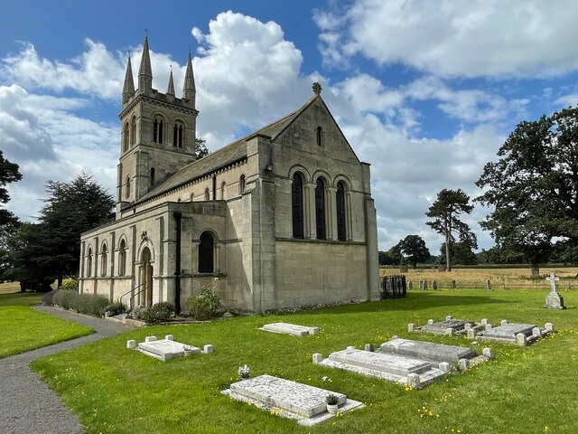
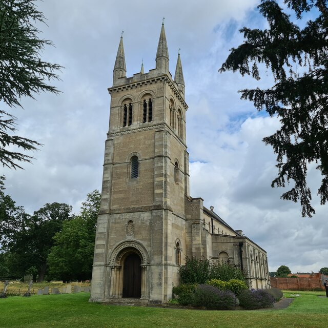
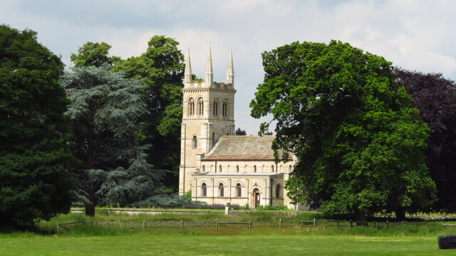
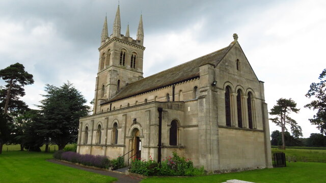
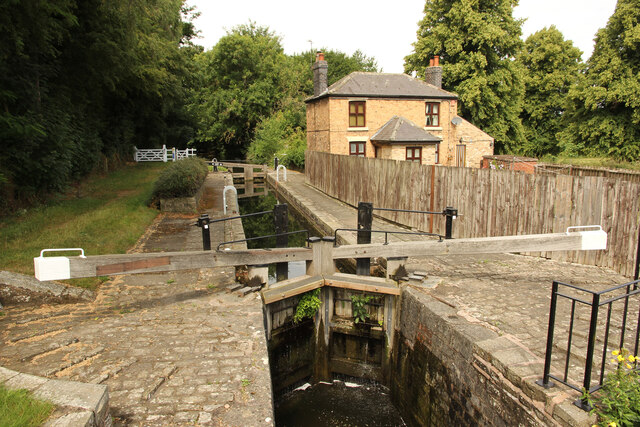
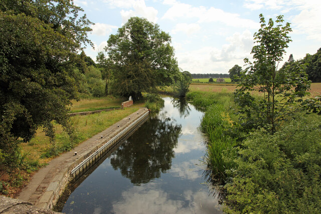
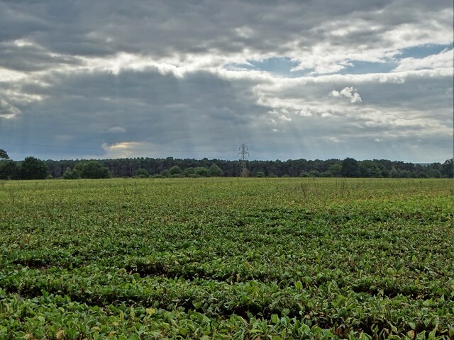
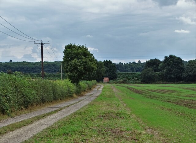
Ashton's Wood Images

Images are sourced within 2km of 53.305147/-1.0643145 or Grid Reference SK6279. Thanks to Geograph Open Source API. All images are credited.

Mystery building in Scofton With barred windows on the ground floor, louvred shutters on the upper floor and a security camera that monitored our movements as we walked along the path to the church I wonder what's inside?
Mystery building in Scofton
With barred windows on the ground floor, louvred shutters on the upper floor and a security camera that monitored our movements as we walked along the path to the church I wonder what's inside?
A shepherd's grave In the graveyard of the church of St John.
A shepherd's grave
In the graveyard of the church of St John.
The west door of St John's Church.  Look carefully and you will see carvings of an owl and a cat at the feet of the arch - these are said to be the inspiration for Edward Lear's nonsense poem 'The Owl and the Pussycat'.
The west door of St John's Church.
Look carefully and you will see carvings of an owl and a cat at the feet of the arch - these are said to be the inspiration for Edward Lear's nonsense poem 'The Owl and the Pussycat'.
The church of St John A grade II listed parish church built in 1833 as a private chapel to Osberton Hall. My fellow geographer is apparently saying his prayers at the west door.
The church of St John
A grade II listed parish church built in 1833 as a private chapel to Osberton Hall. My fellow geographer is apparently saying his prayers at the west door.
Foljambe family graves The Foljambes, owners of the Osberton Hall estate, are buried by the east end of the church. Most of these graves are aligned east-west but two are aligned north-south. I wonder why?
Foljambe family graves
The Foljambes, owners of the Osberton Hall estate, are buried by the east end of the church. Most of these graves are aligned east-west but two are aligned north-south. I wonder why?
St John's, Scofton-with-Osberton
Scofton - Church of St John the Baptist
Osberton Lock Osberton Lock, number 53 and Keepers Cottage on the Chesterfield Canal at Scofton
Osberton Lock
Osberton Lock, number 53 and Keepers Cottage on the Chesterfield Canal at Scofton
Chesterfield Canal View east from Osberton Lock bridge
Chesterfield Canal
View east from Osberton Lock bridge
Beet field west of Osberton Grange
South of Osberton Grange A view to the railway embannkment and railway workers' shed.
South of Osberton Grange
A view to the railway embannkment and railway workers' shed.
In Manton Wood Enterprise Park
Manton Lodge in Clumber Park
Track through the woods east of Manton Lodge
Manton Viaduct Railway bridge 45a over the Chesterfield Canal
Manton Viaduct
Railway bridge 45a over the Chesterfield Canal
Bridge 45 Bridge number 45 over the Chesterfield Canal
Bridge 45
Bridge number 45 over the Chesterfield Canal
A pit head sculpture Near the site of the former Manton colliery.
A pit head sculpture
Near the site of the former Manton colliery.
Show me another place!

Ashton's Wood is located at Grid Ref: SK6279 (Lat: 53.305147, Lng: -1.0643145)

Administrative County: Nottinghamshire

District: Bassetlaw

Police Authority: Nottinghamshire

What 3 Words

///unwound.firm.reply. Near Hardwick Village, Nottinghamshire

Related Wikis

Manton Colliery

Manton Colliery was a coal mine in north Nottinghamshire (Bassetlaw). The site was also known as Manton Wood Colliery. == History == The land was owned...

Scofton

Scofton is a hamlet in the Bassetlaw district of northern Nottinghamshire, England. It is 130 miles (210 km) north west of London, 25 miles (40 km) north...

RAF Worksop

Royal Air Force Worksop, or more simply RAF Worksop, is a former Royal Air Force satellite station located at Scofton, 2.8 miles (4.5 km) north east of...

Checker House railway station

Checker House railway station was a station between Retford and Worksop, Nottinghamshire, England which served the village of Ranby from 1852 to 1931....

Bracebridge, Nottinghamshire

Bracebridge is an undefined area of Worksop in Nottinghamshire, lying between Manton to the south, and Kilton to the north, lying on the Chesterfield Canal...

Manton, Nottinghamshire

Manton is a former pit village and suburb of south-east Worksop in north Nottinghamshire, England. Manton's main source of employment for 100 years was...

Kilton, Nottinghamshire

Kilton is a large suburban area in the northeast of the market town of Worksop in the ceremonial county of Nottinghamshire in the East Midlands of England...

Worksop College

Worksop College (formerly St Cuthbert's College) is a British co-educational private school for both boarding and day pupils aged 13 to 18, in Worksop...

Nearby Amenities

Located within 500m of 53.305147,-1.0643145
Bus Stop
Ashtons Wood
Bus: yes
Naptan AtcoCode: 3300BA0120
Naptan Bearing: SW
Naptan CommonName: Ashtons Wood
Naptan Indicator: adj
Naptan Landmark: Ashtons Wood
Naptan NaptanCode: ntsgawaj
Naptan Notes: BW--3300BA0885
Naptan Street: Retford Road
Naptan Verified: no
Public Transport: platform
Source: naptan_import
Lat/Long: 53.3060041/-1.0652543
Ashtons Wood
Naptan AtcoCode: 3300BA0885
Naptan Bearing: NE
Naptan BusStopType: CUS
Naptan CommonName: Ashtons Wood
Naptan Indicator: opp
Naptan Landmark: Ashtons Wood
Naptan NaptanCode: ntsgmama
Naptan Notes: CUS--3300BA0120
Naptan Street: Retford Road
Naptan Verified: no
Source: naptan_import
Lat/Long: 53.3060772/-1.0654028
The data included in this document is from www.openstreetmap.org. The data is made available under ODbL.

Have you been to Ashton's Wood?

Leave your review of Ashton's Wood below (or comments, questions and feedback).