Cascade Wood
Wood, Forest in Nottinghamshire Bassetlaw
England
Cascade Wood
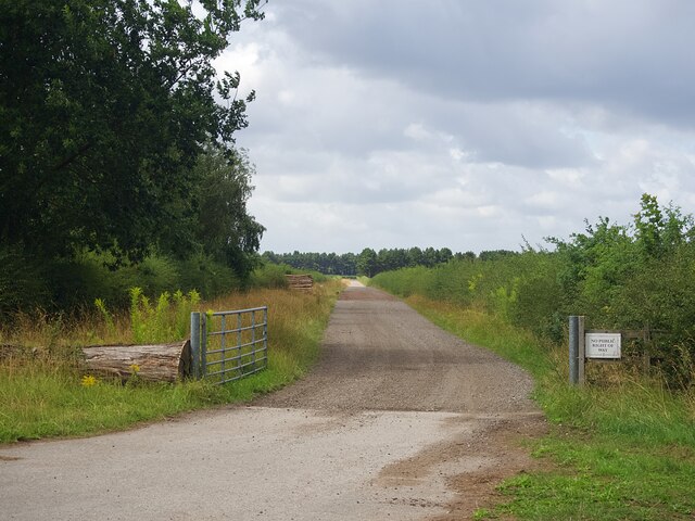
Cascade Wood is a picturesque forest located in Nottinghamshire, England. Covering an area of approximately 100 hectares, it is nestled in the heart of the county and is a popular destination for nature enthusiasts and outdoor lovers. The wood is situated near the village of Cascade and is easily accessible by both car and public transport.
This enchanting woodland is known for its diverse ecosystem and abundant wildlife. The forest is primarily composed of broadleaf trees, including oak, beech, and ash, which create a dense canopy overhead. The lush undergrowth is home to a variety of plant species, such as bluebells, primroses, and ferns, adding to the area's natural beauty.
Cascade Wood offers a range of recreational activities for visitors to enjoy. There are several well-maintained walking trails that wind through the forest, allowing hikers to explore its stunning landscapes and discover hidden gems along the way. Birdwatchers are also in for a treat, as the wood attracts a wide array of avian species, including woodpeckers, owls, and various songbirds.
For those seeking a more peaceful experience, Cascade Wood provides ample spots for picnicking and relaxation. The serene atmosphere and tranquil surroundings make it an ideal location for unwinding and connecting with nature.
Overall, Cascade Wood in Nottinghamshire is a captivating woodland that offers a delightful escape from the hustle and bustle of everyday life. Its natural charm, diverse flora and fauna, and range of recreational activities make it a must-visit destination for nature enthusiasts and anyone seeking a peaceful retreat in the heart of England.
If you have any feedback on the listing, please let us know in the comments section below.
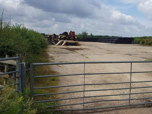
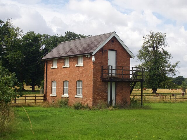
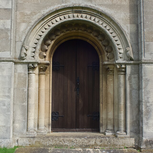
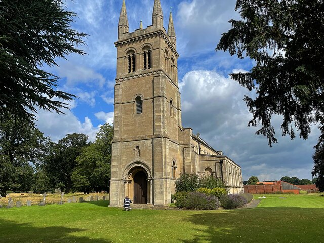
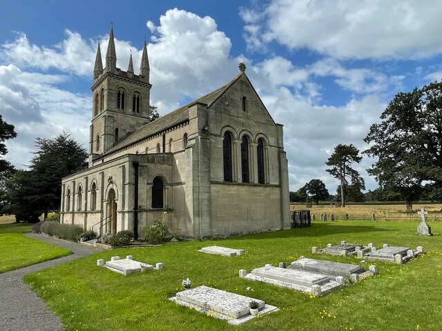
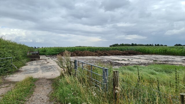
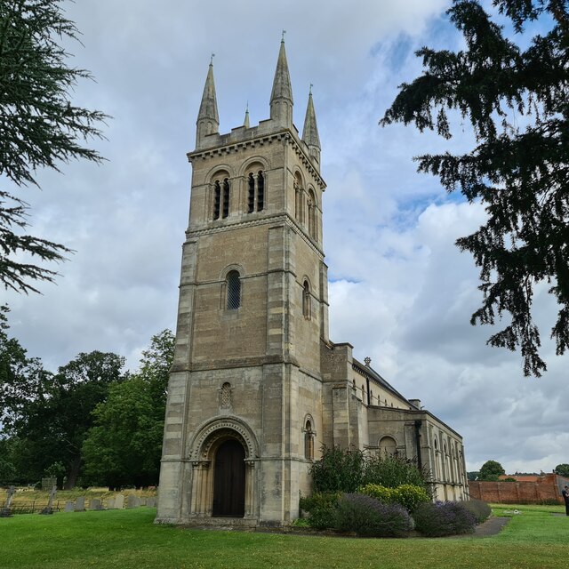
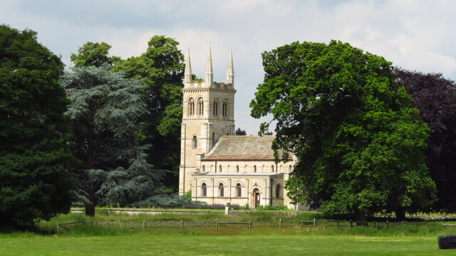
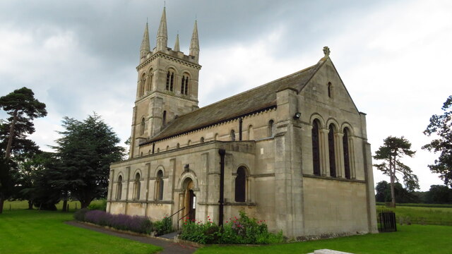
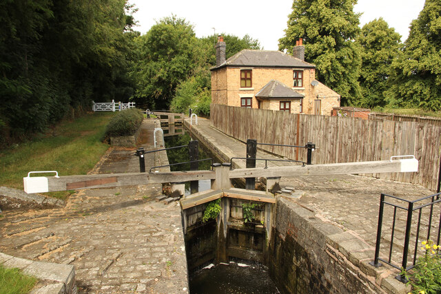
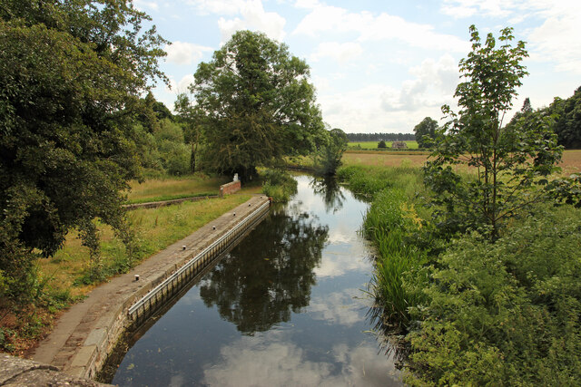
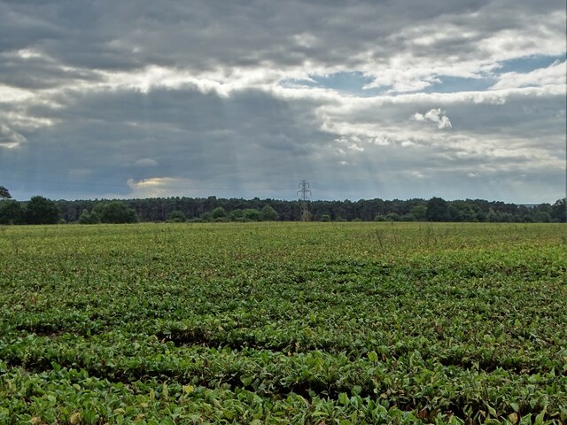
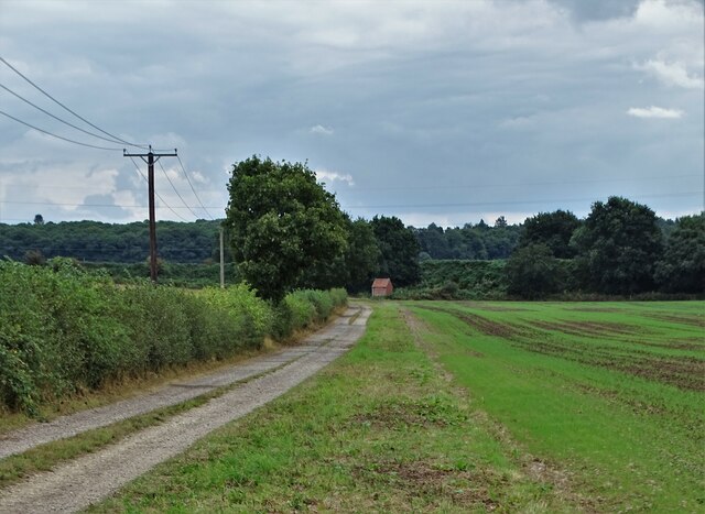
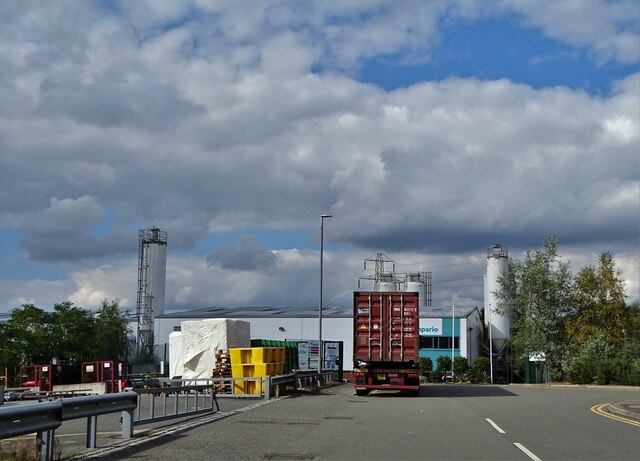
Cascade Wood Images
Images are sourced within 2km of 53.310209/-1.067971 or Grid Reference SK6279. Thanks to Geograph Open Source API. All images are credited.
Cascade Wood is located at Grid Ref: SK6279 (Lat: 53.310209, Lng: -1.067971)
Administrative County: Nottinghamshire
District: Bassetlaw
Police Authority: Nottinghamshire
What 3 Words
///areas.witty.acted. Near Worksop, Nottinghamshire
Nearby Locations
Related Wikis

Manton Colliery
Manton Colliery was a coal mine in north Nottinghamshire (Bassetlaw). The site was also known as Manton Wood Colliery. == History == The land was owned...
Scofton
Scofton is a hamlet in the Bassetlaw district of northern Nottinghamshire, England. It is 130 miles (210 km) north west of London, 25 miles (40 km) north...

RAF Worksop
Royal Air Force Worksop, or more simply RAF Worksop, is a former Royal Air Force satellite station located at Scofton, 2.8 miles (4.5 km) north east of...

Checker House railway station
Checker House railway station was a station between Retford and Worksop, Nottinghamshire, England which served the village of Ranby from 1852 to 1931....
Bracebridge, Nottinghamshire
Bracebridge is an undefined area of Worksop in Nottinghamshire, lying between Manton to the south, and Kilton to the north, lying on the Chesterfield Canal...
Kilton, Nottinghamshire
Kilton is a large suburban area in the northeast of the market town of Worksop in the ceremonial county of Nottinghamshire in the East Midlands of England...
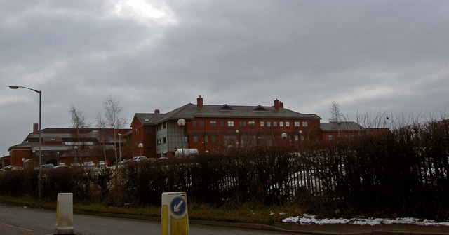
Bassetlaw District General Hospital
Bassetlaw District General Hospital is a National Health Service hospital in Worksop, Nottinghamshire. It is managed by the Doncaster and Bassetlaw Teaching...
Manton, Nottinghamshire
Manton is a former pit village and suburb of south-east Worksop in north Nottinghamshire, England. Manton's main source of employment for 100 years was...
Nearby Amenities
Located within 500m of 53.310209,-1.067971Have you been to Cascade Wood?
Leave your review of Cascade Wood below (or comments, questions and feedback).