Poodle Gorse
Wood, Forest in Oxfordshire Cherwell
England
Poodle Gorse

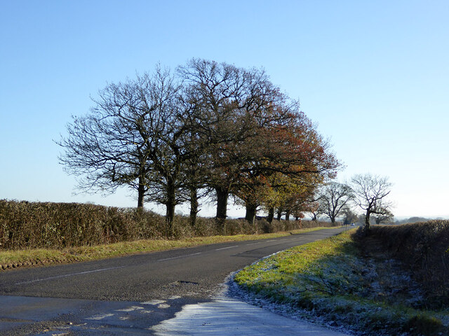
Poodle Gorse is a charming woodland area located in Oxfordshire, England. Situated near the village of Woodcote, it is renowned for its picturesque beauty and natural tranquility. The forest covers an approximate area of 200 acres, offering visitors an opportunity to immerse themselves in the stunning surroundings.
The woodland is predominantly composed of tall, majestic oak and beech trees, which provide a dense canopy, casting dappled sunlight onto the forest floor below. The diversity of flora is impressive, with an array of wildflowers, ferns, and mosses decorating the forest floor. Bluebells carpet the ground in spring, creating a breathtaking display of vibrant blue hues.
Poodle Gorse is home to an abundance of wildlife, making it a popular destination for nature enthusiasts. Visitors may catch a glimpse of deer gracefully bounding through the undergrowth or spot a variety of bird species nesting among the treetops. The forest is also known for its resident population of red squirrels, adding to its charm and appeal.
Several walking trails meander through the woodland, catering to both leisurely strolls and more adventurous hikes. These paths offer visitors the chance to explore the forest's hidden treasures, including secluded ponds and babbling brooks. In addition, there are designated picnic areas and benches strategically placed, allowing visitors to fully appreciate the serene atmosphere while enjoying a packed lunch or simply taking a moment to relax.
Poodle Gorse truly embodies the beauty of Oxfordshire's countryside, providing a haven for those seeking solace in nature's embrace. With its enchanting woodland and diverse wildlife, it is a must-visit destination for anyone yearning for a peaceful escape from the hustle and bustle of everyday life.
If you have any feedback on the listing, please let us know in the comments section below.
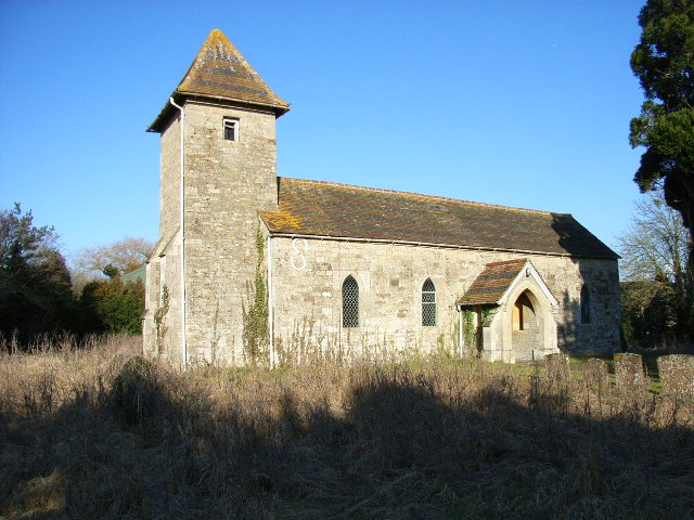
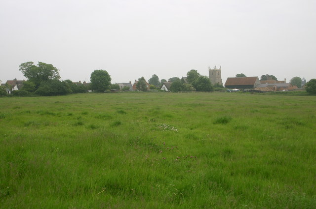
Poodle Gorse Images
Images are sourced within 2km of 51.926784/-1.0969497 or Grid Reference SP6225. Thanks to Geograph Open Source API. All images are credited.


Poodle Gorse is located at Grid Ref: SP6225 (Lat: 51.926784, Lng: -1.0969497)
Administrative County: Oxfordshire
District: Cherwell
Police Authority: Thames Valley
What 3 Words
///link.butternut.sprayer. Near Bicester, Oxfordshire
Nearby Locations
Related Wikis

Stratton Audley
Stratton Audley is a village and civil parish about 2.5 miles (4 km) northeast of Bicester in Oxfordshire, England. == Manor == The Domesday Book of 1086...
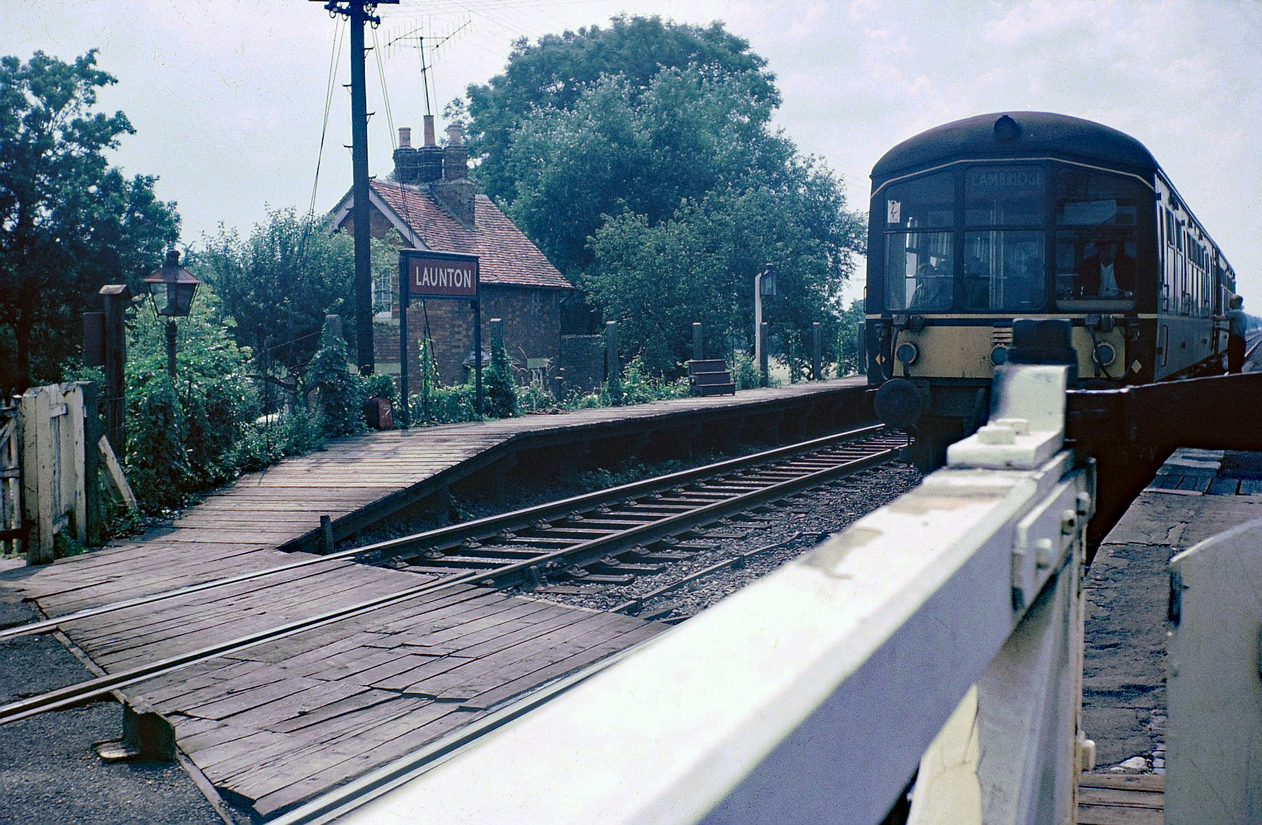
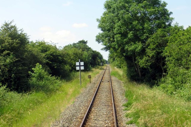
Launton railway station
Launton railway station served the village of Launton in Oxfordshire. It was on the Varsity Line between Bletchley and Oxford. The station opened in 1850...

Poundon
Poundon is a hamlet and a civil parish in Aylesbury Vale district in Buckinghamshire, England. It is located near the Oxfordshire border, about four miles...
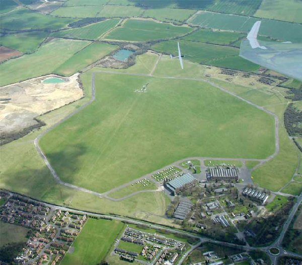
Bicester Airfield
Bicester Aerodrome, formerly RAF Bicester, is a private airfield on the outskirts of the English town of Bicester in Oxfordshire. Dating back to 1916,...
Godington
Godington is a village and civil parish about 5 miles (8 km) northeast of Bicester in Oxfordshire. The parish is bounded on all but the west side by a...

Marsh Gibbon and Poundon railway station
Marsh Gibbon and Poundon railway station was a railway station to the west of Verney Junction on the Oxford and Bletchley section of the LNWR's branch...

Fringford
Fringford is a village and civil parish in Oxfordshire, about 4 miles (6.4 km) northeast of Bicester. The parish is bounded to the east by the Roman road...
Marsh Gibbon
Marsh Gibbon is a village and civil parish in Buckinghamshire, England. It is close to the A41 and the border with Oxfordshire about 4 miles (6.4 km) east...
Nearby Amenities
Located within 500m of 51.926784,-1.0969497Have you been to Poodle Gorse?
Leave your review of Poodle Gorse below (or comments, questions and feedback).