Mugdale Wood

Wood, Forest in Yorkshire Ryedale

England

Mugdale Wood

Snowdrops in Coulton A good display of snowdrops in Coulton.
Snowdrops in Coulton Credit: T Eyre

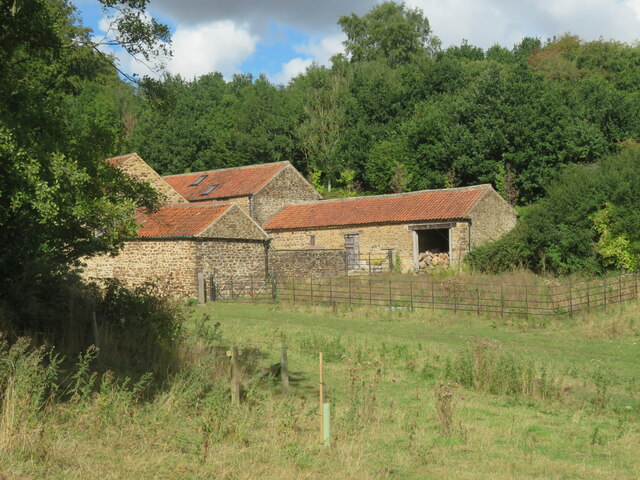
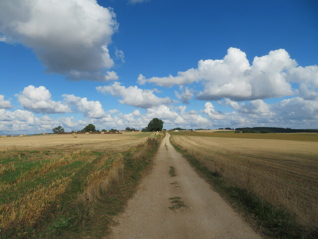
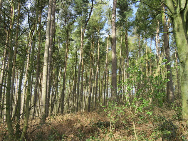
Mugdale Wood is a picturesque woodland located in the county of Yorkshire, England. Situated in the heart of the countryside, this wood is a haven for nature lovers and outdoor enthusiasts alike. Spanning over a vast area, it offers a unique and tranquil setting for visitors to explore.

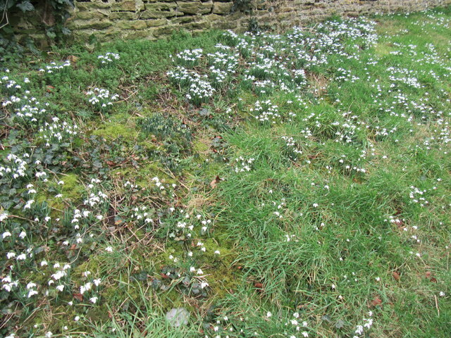
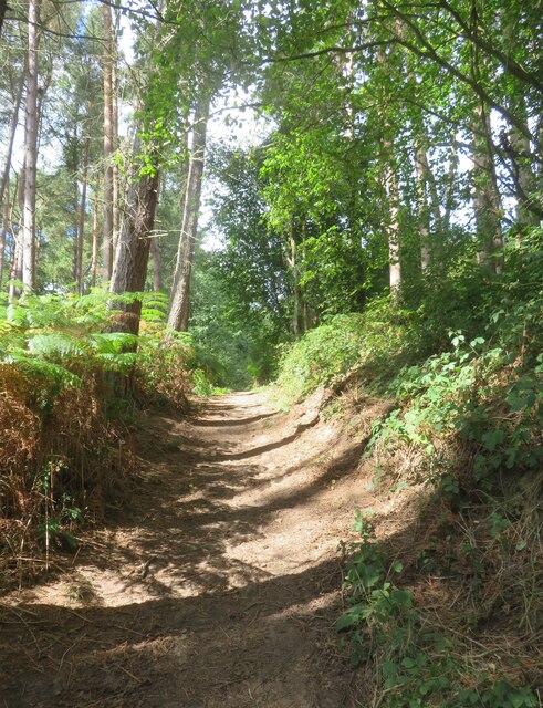
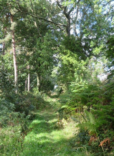
The wood is primarily composed of native tree species such as oak, beech, and ash, creating a diverse and thriving ecosystem. The dense canopy provides shade and shelter for a variety of wildlife, including squirrels, birds, and deer. The forest floor is carpeted with a rich undergrowth of ferns, bluebells, and wildflowers, further enhancing its natural beauty.

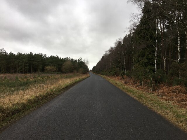
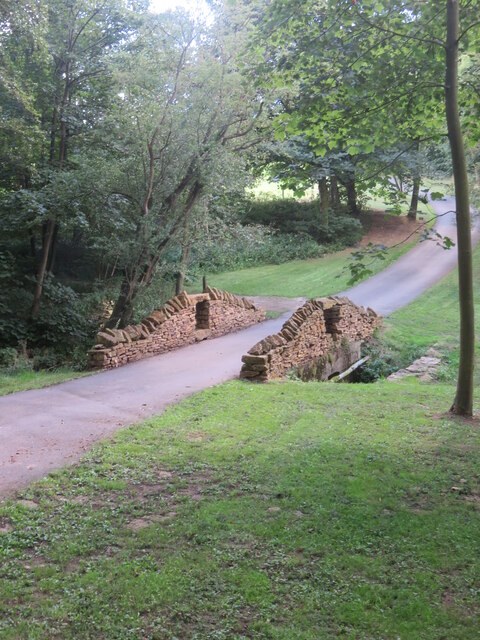
There are several well-marked trails that wind their way through the wood, offering visitors the opportunity to immerse themselves in its enchanting surroundings. These paths cater to different levels of ability, making it accessible for all ages and fitness levels. Along the way, there are informative signposts providing interesting facts about the local flora and fauna.

Mugdale Wood also boasts a small but charming picnic area, perfect for enjoying a packed lunch amidst the serenity of nature. The peaceful ambiance makes it an ideal spot for a leisurely stroll, birdwatching, or simply taking in the tranquility of the surroundings.

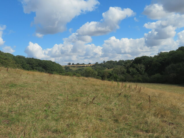
With its stunning scenery and abundant wildlife, Mugdale Wood is a hidden gem that showcases the natural beauty of Yorkshire. Whether it's a family outing, a peaceful retreat, or a chance to reconnect with nature, this wood offers a memorable experience for all who visit.

If you have any feedback on the listing, please let us know in the comments section below.

Mugdale Wood Images

Images are sourced within 2km of 54.147446/-1.0498234 or Grid Reference SE6272. Thanks to Geograph Open Source API. All images are credited.
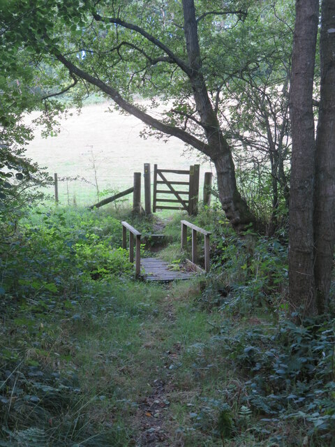
Snowdrops in Coulton A good display of snowdrops in Coulton.
Snowdrops in Coulton
A good display of snowdrops in Coulton.
Road across Grimston Moor
Public footpath passing a small reservoir building This path appears to have changed somewhat since other contributors passed this way. The path is now lined either side with rather luxuriant hedges, whilst ahead around the corner one reaches the grounds of an exclusive [and expensive] large property. There will be footpath diversions ahead as well to keep the riff raff well away from the house, but my 2015 edition map doesn't show the changes.
Public footpath passing a small reservoir building
This path appears to have changed somewhat since other contributors passed this way. The path is now lined either side with rather luxuriant hedges, whilst ahead around the corner one reaches the grounds of an exclusive [and expensive] large property. There will be footpath diversions ahead as well to keep the riff raff well away from the house, but my 2015 edition map doesn't show the changes.
Footbridge and gate on footpath below Potter Hill Footpath number 25.24/7 descends through a strip of woodland to reach this bridge over a tiny unnamed beck. Behind the camera position and at the top of the hill are the rather exclusive grounds of Potter Hill where there are footpath diversions.
Footbridge and gate on footpath below Potter Hill
Footpath number 25.24/7 descends through a strip of woodland to reach this bridge over a tiny unnamed beck. Behind the camera position and at the top of the hill are the rather exclusive grounds of Potter Hill where there are footpath diversions.
Valley in the Howardian Hills Path number 25.24/7 passes through what must be one of the quietest areas of the Howardian Hills and the path itself shows little sign of use. This is between the exclusive properties of Potter Hill and Swathgill.
Valley in the Howardian Hills
Path number 25.24/7 passes through what must be one of the quietest areas of the Howardian Hills and the path itself shows little sign of use. This is between the exclusive properties of Potter Hill and Swathgill.
Barns at Swathgill A footpath sign can just be seen left of centre indicating that the path follows a different course to that shown on my 2015 OS map. Beyond the barns to the left is the rather exclusive property of Swathgill House and polite notices advise the hoi polloi that this is private ground. The diverted path now ascends through a mass of nettles and thistles to the right, where one must clamber over a collapsed post and wire fence which has fallen across the path. All part of the fun.
Barns at Swathgill
A footpath sign can just be seen left of centre indicating that the path follows a different course to that shown on my 2015 OS map. Beyond the barns to the left is the rather exclusive property of Swathgill House and polite notices advise the hoi polloi that this is private ground. The diverted path now ascends through a mass of nettles and thistles to the right, where one must clamber over a collapsed post and wire fence which has fallen across the path. All part of the fun.
Heading for Coulton Footpath number 25.24/6 follows this field edge towards Coulton. No doubt progress would have been more difficult before the cereal crop was harvested.
Heading for Coulton
Footpath number 25.24/6 follows this field edge towards Coulton. No doubt progress would have been more difficult before the cereal crop was harvested.
Farm buildings at Scackleton Grange A variety of barns and a few cattle at Scackleton Grange. The farmhouse is off picture to the left.
Farm buildings at Scackleton Grange
A variety of barns and a few cattle at Scackleton Grange. The farmhouse is off picture to the left.
The harvest is over Combine harvester lying idle at Scackleton Grange.
The harvest is over
Combine harvester lying idle at Scackleton Grange.
The last day of summer A fine and sunny day at Green Lane on the approach to Scackleton Grange. Last day of August 2022.
The last day of summer
A fine and sunny day at Green Lane on the approach to Scackleton Grange. Last day of August 2022.
Bridge over tiny beck The bridge carries a private road to Potter Hill Farm, which has the appearance of a multi million pound mansion rather than a humble farmhouse and barns. The footpath through Mug Dale emerges on to the road, crosses the bridge and then heads off into the surrounding woodland.
Bridge over tiny beck
The bridge carries a private road to Potter Hill Farm, which has the appearance of a multi million pound mansion rather than a humble farmhouse and barns. The footpath through Mug Dale emerges on to the road, crosses the bridge and then heads off into the surrounding woodland.
Steep path in Mugdale Wood Bridleway path ascending through woodland above Mug Dale.
Steep path in Mugdale Wood
Bridleway path ascending through woodland above Mug Dale.
Bridleway towards Maidensworth Farm The bridleway is number 25.42/3 and runs almost in a straight line past Maidensworth Farm to reach the road.
Bridleway towards Maidensworth Farm
The bridleway is number 25.42/3 and runs almost in a straight line past Maidensworth Farm to reach the road.
Mugdale Wood At the top of the hill.
Mugdale Wood
At the top of the hill.
Blossom Tree a Blossom tree near Grimston Manor.
Blossom Tree
a Blossom tree near Grimston Manor.
Near Skewsby An attractive country cottage on the outskirts of Skewsby.
Near Skewsby
An attractive country cottage on the outskirts of Skewsby.
City of Troy. The only surviving example in the North Riding of this type of grass maze.
City of Troy.
The only surviving example in the North Riding of this type of grass maze.
Near Scackleton Grange. The track leading to the Great Plantation.
Near Scackleton Grange.
The track leading to the Great Plantation.
Show me another place!

Mugdale Wood is located at Grid Ref: SE6272 (Lat: 54.147446, Lng: -1.0498234)

Division: North Riding

Administrative County: North Yorkshire

District: Ryedale

Police Authority: North Yorkshire

What 3 Words

///documents.intro.perplexed. Near Sheriff Hutton, North Yorkshire

Related Wikis

Brandsby-cum-Stearsby

Brandsby-cum-Stearsby is a civil parish in the Hambleton district of North Yorkshire, England, with a population of 234 (2001 census), increasing to 383...

Coulton, North Yorkshire

Coulton is a village and civil parish in the Ryedale district of North Yorkshire, England, it is about 6 miles (9.7 km) south of Helmsley. == History... ==

Grimstone, North Yorkshire

Grimstone or Grimston is a hamlet and civil parish in North Yorkshire, England. It lies beside the main B1363 road between York and Helmsley. Grimston...

Scackleton

Scackleton is a village and civil parish in the Ryedale district of North Yorkshire, England. It is in the Howardian Hills and 2 miles (3.2 km) south-west...

Nearby Amenities

Located within 500m of 54.147446,-1.0498234
Passing Place
Lat/Long: 54.1471522/-1.0506155
Barrier: kissing_gate
Lat/Long: 54.1504964/-1.0457291
The data included in this document is from www.openstreetmap.org. The data is made available under ODbL.

Have you been to Mugdale Wood?

Leave your review of Mugdale Wood below (or comments, questions and feedback).