Mugdale Hill
Hill, Mountain in Yorkshire Hambleton
England
Mugdale Hill
The requested URL returned error: 429 Too Many Requests
If you have any feedback on the listing, please let us know in the comments section below.
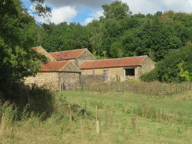
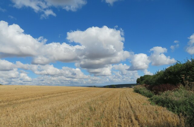
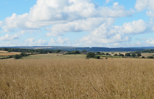
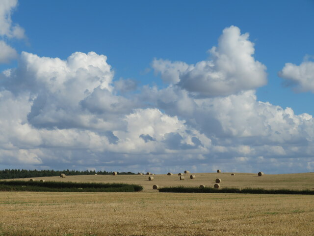
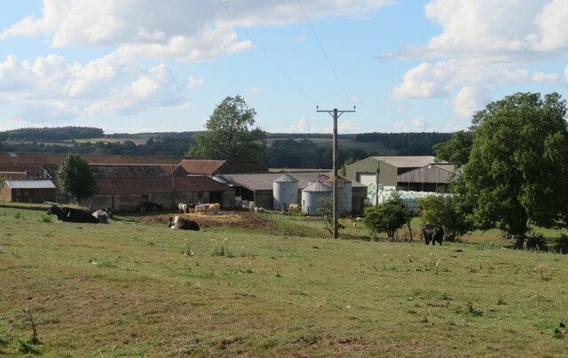
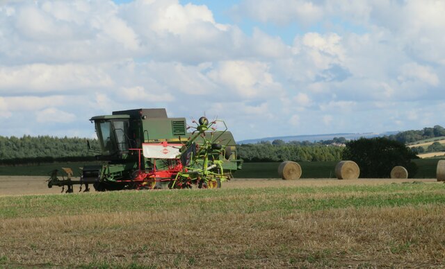
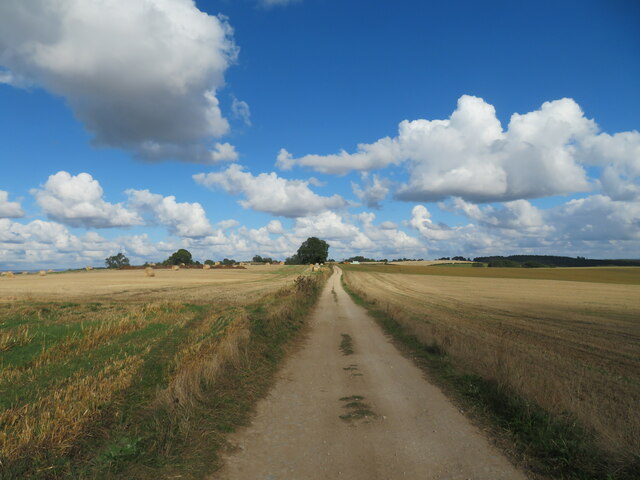
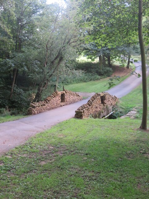
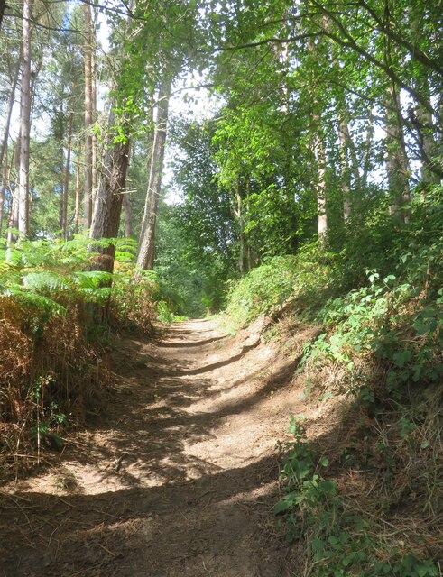
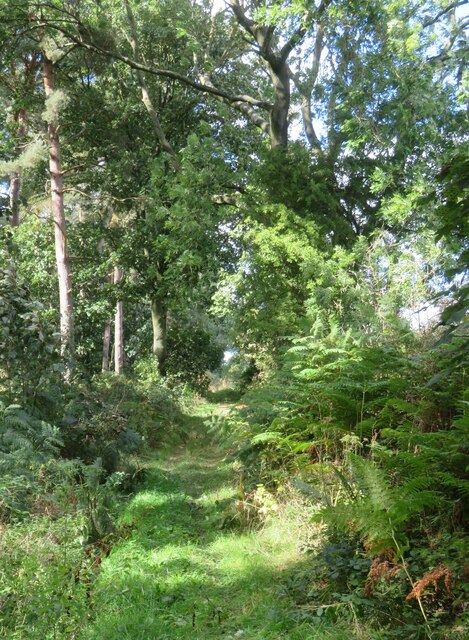
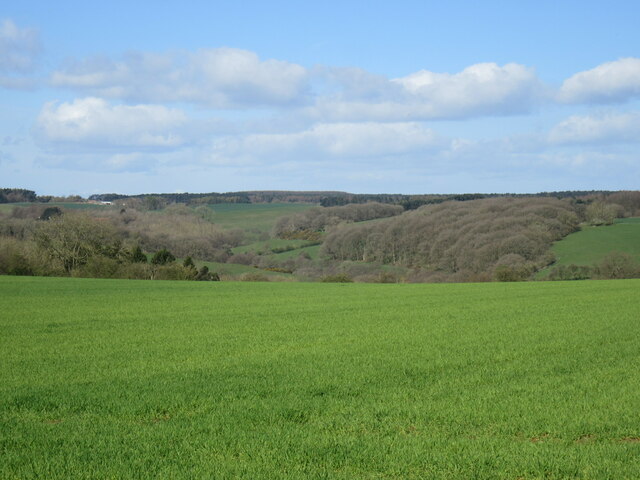
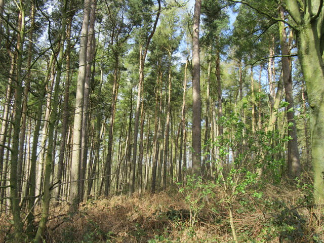
Mugdale Hill Images
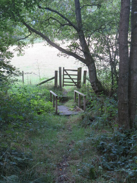
Images are sourced within 2km of 54.146099/-1.0465627 or Grid Reference SE6272. Thanks to Geograph Open Source API. All images are credited.
![Public footpath passing a small reservoir building This path appears to have changed somewhat since other contributors passed this way. The path is now lined either side with rather luxuriant hedges, whilst ahead around the corner one reaches the grounds of an exclusive [and expensive] large property. There will be footpath diversions ahead as well to keep the riff raff well away from the house, but my 2015 edition map doesn't show the changes.](https://s2.geograph.org.uk/geophotos/07/27/00/7270002_d90578c8.jpg)
Mugdale Hill is located at Grid Ref: SE6272 (Lat: 54.146099, Lng: -1.0465627)
Division: North Riding
Administrative County: North Yorkshire
District: Hambleton
Police Authority: North Yorkshire
What 3 Words
///undulation.glassware.cares. Near Sheriff Hutton, North Yorkshire
Nearby Locations
Related Wikis

Brandsby-cum-Stearsby
Brandsby-cum-Stearsby is a civil parish in the Hambleton district of North Yorkshire, England, with a population of 234 (2001 census), increasing to 383...

Scackleton
Scackleton is a village and civil parish in the Ryedale district of North Yorkshire, England. It is in the Howardian Hills and 2 miles (3.2 km) south-west...

Coulton, North Yorkshire
Coulton is a village and civil parish in the Ryedale district of North Yorkshire, England, it is about 6 miles (9.7 km) south of Helmsley. == History... ==

Howardian Hills
The Howardian Hills are an Area of Outstanding Natural Beauty located between the Yorkshire Wolds, the North York Moors National Park, and the Vale of...
Nearby Amenities
Located within 500m of 54.146099,-1.0465627Have you been to Mugdale Hill?
Leave your review of Mugdale Hill below (or comments, questions and feedback).