Mug Dale

Valley in Yorkshire Hambleton

England

Mug Dale

Snowdrops in Coulton A good display of snowdrops in Coulton.
Snowdrops in Coulton Credit: T Eyre

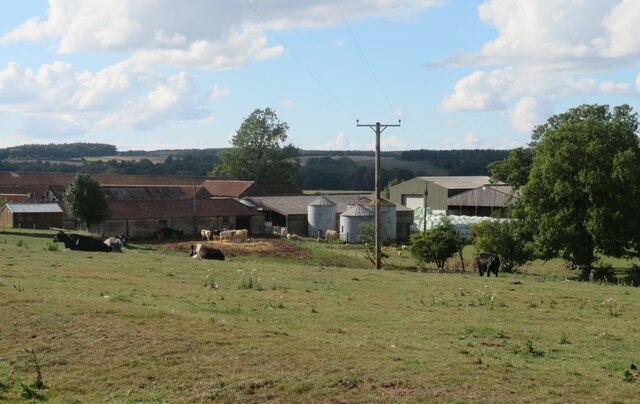
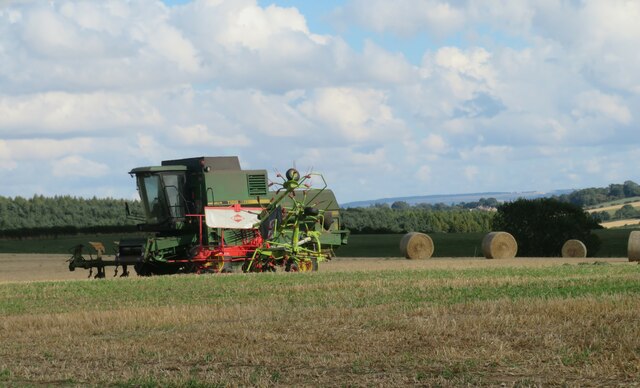
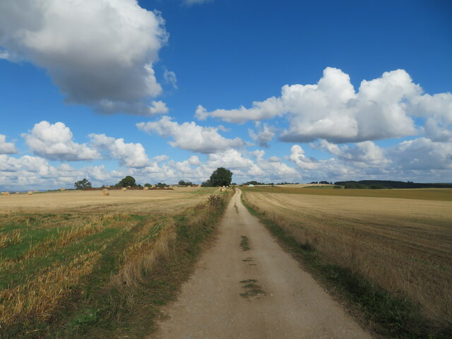
Mug Dale is a picturesque valley located in the heart of Yorkshire, England. Nestled amidst rolling green hills and surrounded by breathtaking natural beauty, it is a haven for nature lovers and outdoor enthusiasts alike. The valley stretches approximately three miles in length, providing ample space for exploration and discovery.

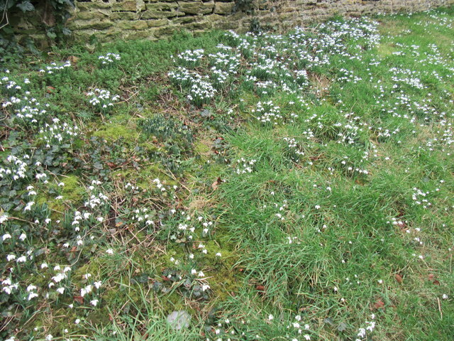
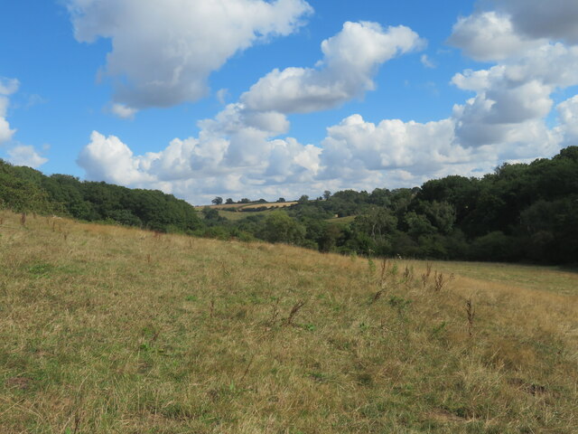
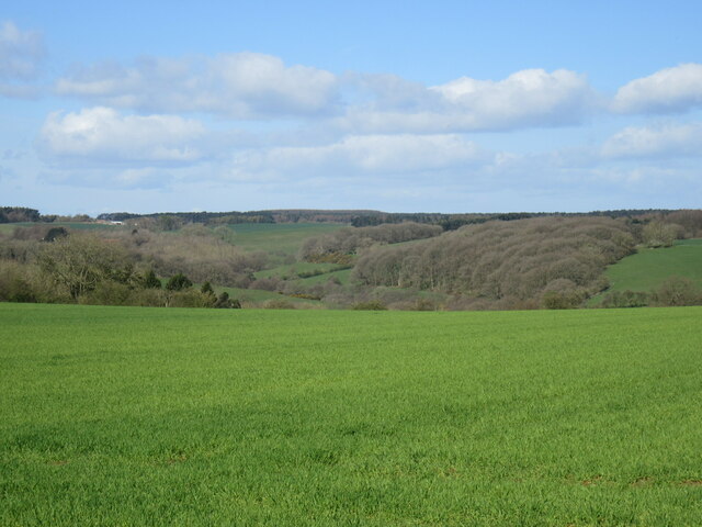
The landscape of Mug Dale is characterized by its lush meadows, dotted with vibrant wildflowers during the summer months. The valley is crisscrossed by a meandering river, which adds to its charm and tranquility. The river is also home to a variety of wildlife, including trout, which makes it a popular spot for fishing enthusiasts.

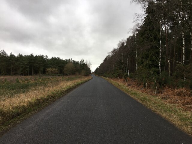
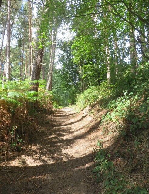
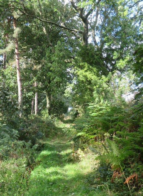
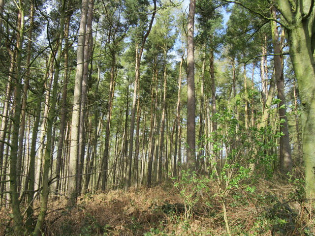
Surrounding the valley are dense woodlands, offering a serene setting for leisurely walks and hikes. The trees provide a canopy of shade during hot summer days and transform into a stunning display of colors during autumn. Mug Dale is also home to a diverse range of bird species, making it a haven for birdwatchers.

The valley has a rich history, with evidence of human habitation dating back to the Roman era. Archaeological finds in the area include pottery shards, tools, and even a Roman road. Today, visitors can explore these historical remnants, adding a cultural aspect to their visit.

For those seeking a break from the hustle and bustle of city life, Mug Dale offers a peaceful retreat in the heart of nature. Its idyllic setting, diverse wildlife, and rich history make it a must-visit destination for anyone looking to immerse themselves in the beauty of Yorkshire.

If you have any feedback on the listing, please let us know in the comments section below.

Mug Dale Images

Images are sourced within 2km of 54.145463/-1.0468375 or Grid Reference SE6272. Thanks to Geograph Open Source API. All images are credited.
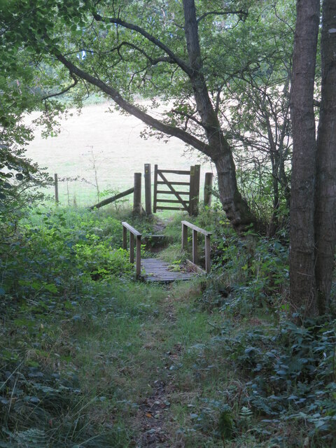
Snowdrops in Coulton A good display of snowdrops in Coulton.
Snowdrops in Coulton
A good display of snowdrops in Coulton.
Road across Grimston Moor
Public footpath passing a small reservoir building This path appears to have changed somewhat since other contributors passed this way. The path is now lined either side with rather luxuriant hedges, whilst ahead around the corner one reaches the grounds of an exclusive [and expensive] large property. There will be footpath diversions ahead as well to keep the riff raff well away from the house, but my 2015 edition map doesn't show the changes.
Public footpath passing a small reservoir building
This path appears to have changed somewhat since other contributors passed this way. The path is now lined either side with rather luxuriant hedges, whilst ahead around the corner one reaches the grounds of an exclusive [and expensive] large property. There will be footpath diversions ahead as well to keep the riff raff well away from the house, but my 2015 edition map doesn't show the changes.
Footbridge and gate on footpath below Potter Hill Footpath number 25.24/7 descends through a strip of woodland to reach this bridge over a tiny unnamed beck. Behind the camera position and at the top of the hill are the rather exclusive grounds of Potter Hill where there are footpath diversions.
Footbridge and gate on footpath below Potter Hill
Footpath number 25.24/7 descends through a strip of woodland to reach this bridge over a tiny unnamed beck. Behind the camera position and at the top of the hill are the rather exclusive grounds of Potter Hill where there are footpath diversions.
Valley in the Howardian Hills Path number 25.24/7 passes through what must be one of the quietest areas of the Howardian Hills and the path itself shows little sign of use. This is between the exclusive properties of Potter Hill and Swathgill.
Valley in the Howardian Hills
Path number 25.24/7 passes through what must be one of the quietest areas of the Howardian Hills and the path itself shows little sign of use. This is between the exclusive properties of Potter Hill and Swathgill.
Barns at Swathgill A footpath sign can just be seen left of centre indicating that the path follows a different course to that shown on my 2015 OS map. Beyond the barns to the left is the rather exclusive property of Swathgill House and polite notices advise the hoi polloi that this is private ground. The diverted path now ascends through a mass of nettles and thistles to the right, where one must clamber over a collapsed post and wire fence which has fallen across the path. All part of the fun.
Barns at Swathgill
A footpath sign can just be seen left of centre indicating that the path follows a different course to that shown on my 2015 OS map. Beyond the barns to the left is the rather exclusive property of Swathgill House and polite notices advise the hoi polloi that this is private ground. The diverted path now ascends through a mass of nettles and thistles to the right, where one must clamber over a collapsed post and wire fence which has fallen across the path. All part of the fun.
Heading for Coulton Footpath number 25.24/6 follows this field edge towards Coulton. No doubt progress would have been more difficult before the cereal crop was harvested.
Heading for Coulton
Footpath number 25.24/6 follows this field edge towards Coulton. No doubt progress would have been more difficult before the cereal crop was harvested.
Field off Grange Lane A view looking north west across what appears to be a field of ryegrass. The rolling countryside of the Howardian Hills merges into the distant Hambleton Hills on the edge of the NY Moors National Park. Away in the distance on the skyline to the right is the familiar whaleback shape of Easterside near Hawnby.
Field off Grange Lane
A view looking north west across what appears to be a field of ryegrass. The rolling countryside of the Howardian Hills merges into the distant Hambleton Hills on the edge of the NY Moors National Park. Away in the distance on the skyline to the right is the familiar whaleback shape of Easterside near Hawnby.
Harvested field off Grange Lane Cropped fields off Grange Lane on the last day of summer.
Harvested field off Grange Lane
Cropped fields off Grange Lane on the last day of summer.
Farm buildings at Scackleton Grange A variety of barns and a few cattle at Scackleton Grange. The farmhouse is off picture to the left.
Farm buildings at Scackleton Grange
A variety of barns and a few cattle at Scackleton Grange. The farmhouse is off picture to the left.
The harvest is over Combine harvester lying idle at Scackleton Grange.
The harvest is over
Combine harvester lying idle at Scackleton Grange.
The last day of summer A fine and sunny day at Green Lane on the approach to Scackleton Grange. Last day of August 2022.
The last day of summer
A fine and sunny day at Green Lane on the approach to Scackleton Grange. Last day of August 2022.
Bridge over tiny beck The bridge carries a private road to Potter Hill Farm, which has the appearance of a multi million pound mansion rather than a humble farmhouse and barns. The footpath through Mug Dale emerges on to the road, crosses the bridge and then heads off into the surrounding woodland.
Bridge over tiny beck
The bridge carries a private road to Potter Hill Farm, which has the appearance of a multi million pound mansion rather than a humble farmhouse and barns. The footpath through Mug Dale emerges on to the road, crosses the bridge and then heads off into the surrounding woodland.
Steep path in Mugdale Wood Bridleway path ascending through woodland above Mug Dale.
Steep path in Mugdale Wood
Bridleway path ascending through woodland above Mug Dale.
Bridleway towards Maidensworth Farm The bridleway is number 25.42/3 and runs almost in a straight line past Maidensworth Farm to reach the road.
Bridleway towards Maidensworth Farm
The bridleway is number 25.42/3 and runs almost in a straight line past Maidensworth Farm to reach the road.
Grange Lane view Looking NW from Grange Lane.
Grange Lane view
Looking NW from Grange Lane.
Mugdale Wood At the top of the hill.
Mugdale Wood
At the top of the hill.
Near Skewsby An attractive country cottage on the outskirts of Skewsby.
Near Skewsby
An attractive country cottage on the outskirts of Skewsby.
Show me another place!

Mug Dale is located at Grid Ref: SE6272 (Lat: 54.145463, Lng: -1.0468375)

Division: North Riding

Administrative County: North Yorkshire

District: Hambleton

Police Authority: North Yorkshire

What 3 Words

///pausing.drawn.forum. Near Sheriff Hutton, North Yorkshire

Related Wikis

Brandsby-cum-Stearsby

Brandsby-cum-Stearsby is a civil parish in the Hambleton district of North Yorkshire, England, with a population of 234 (2001 census), increasing to 383...

Scackleton

Scackleton is a village and civil parish in the Ryedale district of North Yorkshire, England. It is in the Howardian Hills and 2 miles (3.2 km) south-west...

Coulton, North Yorkshire

Coulton is a village and civil parish in the Ryedale district of North Yorkshire, England, it is about 6 miles (9.7 km) south of Helmsley. == History... ==

Howardian Hills

The Howardian Hills are an Area of Outstanding Natural Beauty located between the Yorkshire Wolds, the North York Moors National Park, and the Vale of...

Nearby Amenities

Located within 500m of 54.145463,-1.0468375
Passing Place
Lat/Long: 54.1471522/-1.0506155
Direction East: Scackleton
Direction Northwest: Via Mugdale
Direction Southwest: Bonnygate Lane
Guide Type: destination
Guidepost Type: PROW
Information: guidepost
Tourism: information
Lat/Long: 54.1429047/-1.0427105
The data included in this document is from www.openstreetmap.org. The data is made available under ODbL.

Have you been to Mug Dale?

Leave your review of Mug Dale below (or comments, questions and feedback).