Warwicks Row Copse
Wood, Forest in Hampshire Basingstoke and Deane
England
Warwicks Row Copse
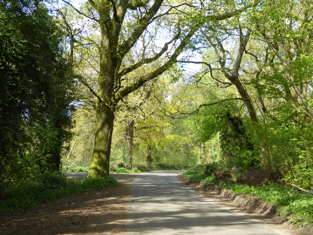
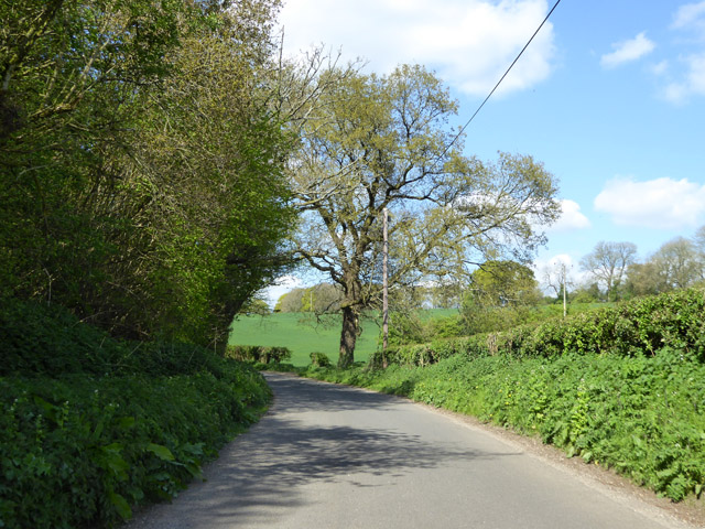
Warwicks Row Copse is a charming woodland located in Hampshire, England. Covering an area of approximately 50 acres, this beautiful copse is nestled in the heart of the Hampshire countryside, providing visitors with a serene and tranquil environment.
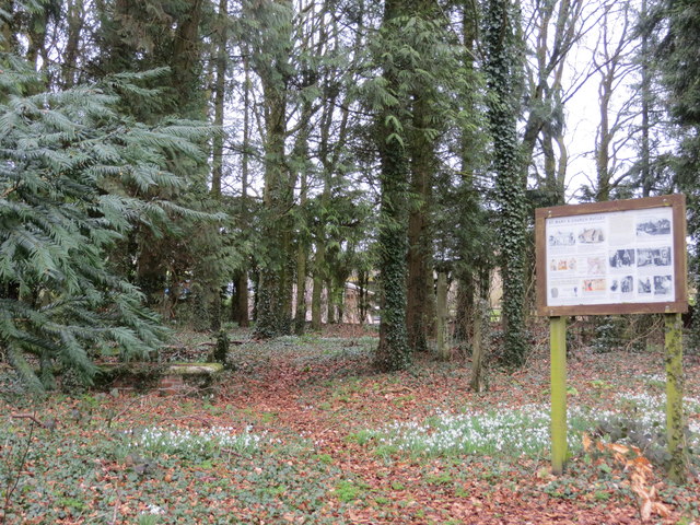
The copse is primarily composed of a mixture of broadleaf trees, including oak, beech, and ash, which create a dense and lush canopy overhead. These trees, along with the various shrubs and plants that grow beneath them, provide a haven for a diverse range of wildlife species.
Warwicks Row Copse is well-known for its rich biodiversity. The copse is home to numerous species of birds such as woodpeckers, owls, and thrushes, which can be spotted flitting between the trees. Small mammals like foxes, badgers, and squirrels also call this woodland their home.
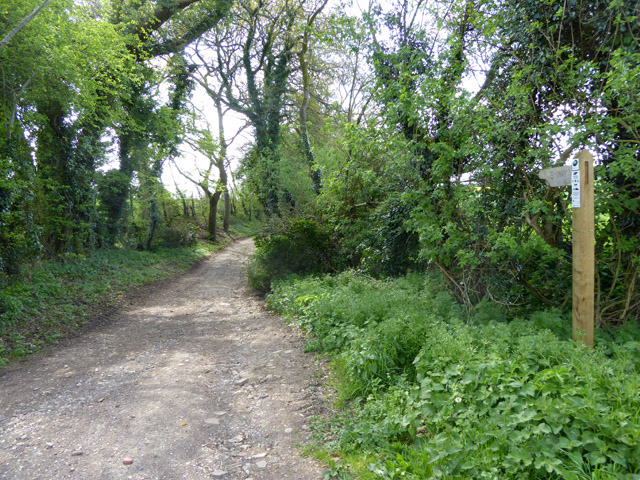
The copse offers a range of recreational activities for visitors to enjoy. There are several walking trails that wind through the woodland, allowing visitors to explore its natural beauty at their own pace. These trails are well-maintained and provide an opportunity to observe the copse's flora and fauna up close.
Warwicks Row Copse is a popular destination for nature enthusiasts, photographers, and families. Its picturesque setting and peaceful atmosphere make it an ideal spot for picnics, nature walks, and wildlife spotting. It offers a tranquil escape from the hustle and bustle of everyday life, where visitors can immerse themselves in the beauty of nature and experience the wonders of Hampshire's woodlands.
If you have any feedback on the listing, please let us know in the comments section below.
Warwicks Row Copse Images
Images are sourced within 2km of 51.193298/-1.1118016 or Grid Reference SU6244. Thanks to Geograph Open Source API. All images are credited.


Warwicks Row Copse is located at Grid Ref: SU6244 (Lat: 51.193298, Lng: -1.1118016)
Administrative County: Hampshire
District: Basingstoke and Deane
Police Authority: Hampshire
What 3 Words
///pirate.cosmic.leap. Near Basingstoke, Hampshire
Related Wikis

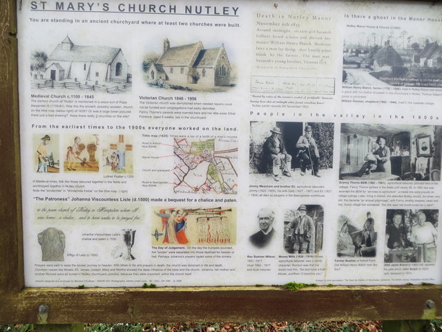
Nutley, Hampshire
Nutley is a small village and civil parish in the Basingstoke and Deane district of Hampshire, England. It is located approximately 5.6 miles (9.0 km)...
Axford, Hampshire
Axford is a hamlet in the Basingstoke and Deane district of Hampshire, England. The settlement is within the civil parish of Nutley, and is located approximately...
Moundsmere
Moundsmere is a hamlet in Hampshire, England. It is in the civil parish of Preston Candover. It is 3 miles away from the village of Bentworth and lies...
Farleigh Wallop
Farleigh Wallop is a small village and civil parish in Hampshire, England, approximately 4.7 miles (7.6 km) south of Basingstoke on the slopes of Farleigh...
Nearby Amenities
Located within 500m of 51.193298,-1.1118016Have you been to Warwicks Row Copse?
Leave your review of Warwicks Row Copse below (or comments, questions and feedback).