Tinker's Pightle Copse
Wood, Forest in Berkshire
England
Tinker's Pightle Copse
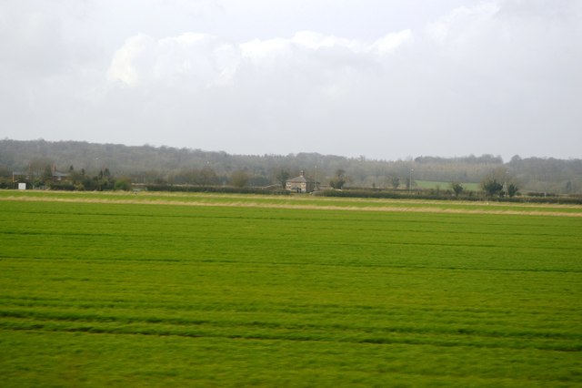
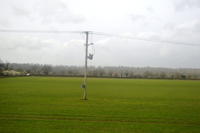
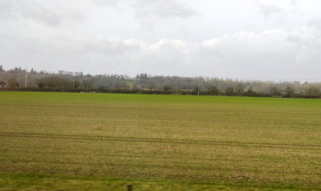
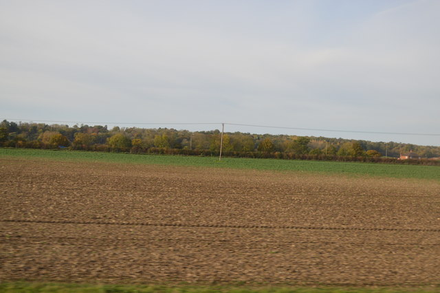
Tinker's Pightle Copse is a small wood located in Berkshire, England. Situated in the heart of the county, it covers an area of approximately 5 acres. The copse is known for its rich biodiversity and is home to a variety of native trees and wildlife.
The woodland is predominantly composed of oak and beech trees, which create a dense canopy that provides shade and shelter for the smaller plants and animals below. The forest floor is covered in a thick layer of leaf litter, creating a natural habitat for insects, fungi, and small mammals.
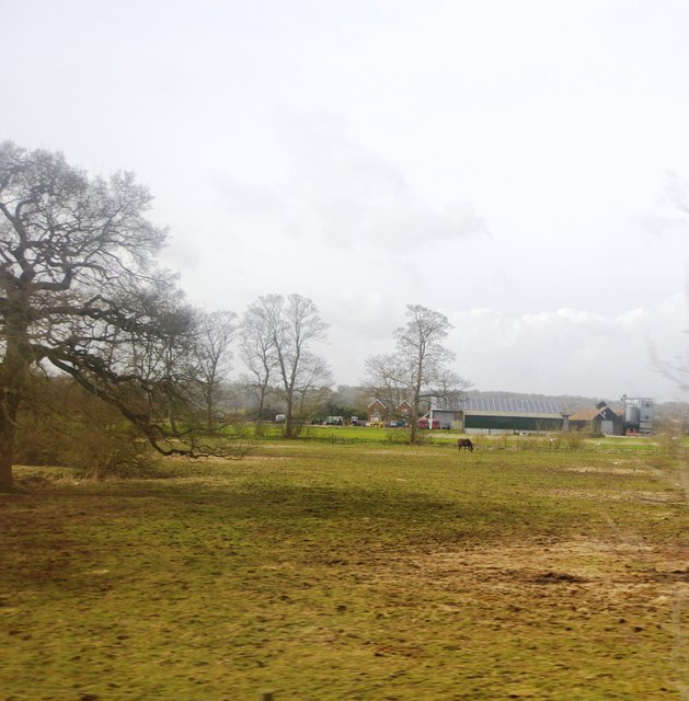
Tinker's Pightle Copse is a popular destination for nature enthusiasts and hikers alike. There are several well-marked trails that wind through the wood, allowing visitors to explore its beauty and tranquility. The copse also boasts a small picnic area, providing a perfect spot for visitors to relax and enjoy the peaceful surroundings.
The diverse wildlife found in Tinker's Pightle Copse includes a wide array of bird species, such as woodpeckers, owls, and thrushes. Squirrels and hedgehogs are commonly spotted scurrying through the undergrowth, while bats can be seen at dusk, swooping through the tree canopy in search of insects.
Overall, Tinker's Pightle Copse is a hidden gem in Berkshire, offering a peaceful escape from the hustle and bustle of everyday life. With its beautiful woodland scenery and abundant wildlife, it provides a wonderful opportunity for visitors to connect with nature and enjoy the tranquil surroundings.
If you have any feedback on the listing, please let us know in the comments section below.
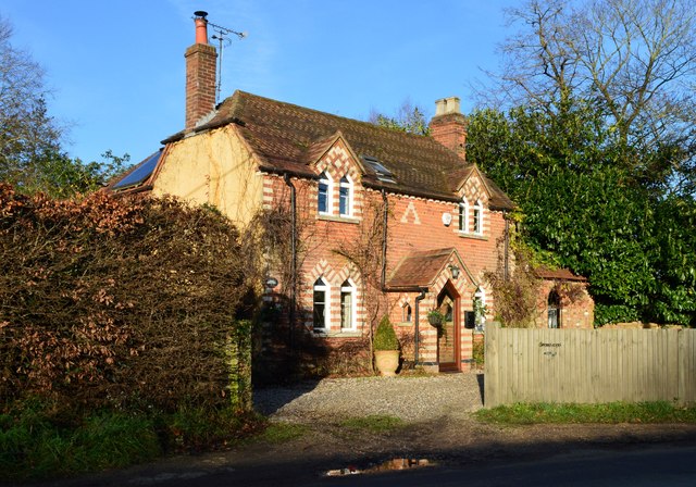
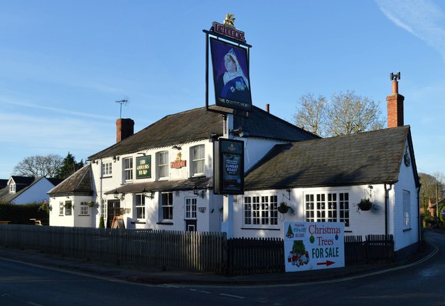
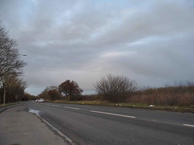
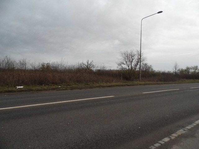
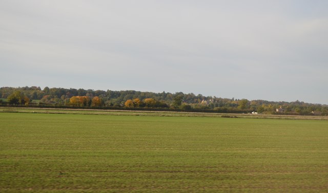
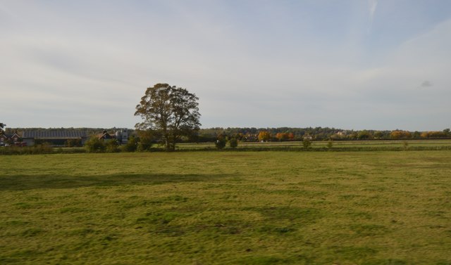
Tinker's Pightle Copse Images
Images are sourced within 2km of 51.434115/-1.1156715 or Grid Reference SU6170. Thanks to Geograph Open Source API. All images are credited.


Tinker's Pightle Copse is located at Grid Ref: SU6170 (Lat: 51.434115, Lng: -1.1156715)
Unitary Authority: West Berkshire
Police Authority: Thames Valley
What 3 Words
///amused.change.snows. Near Bradfield, Berkshire
Nearby Locations
Related Wikis

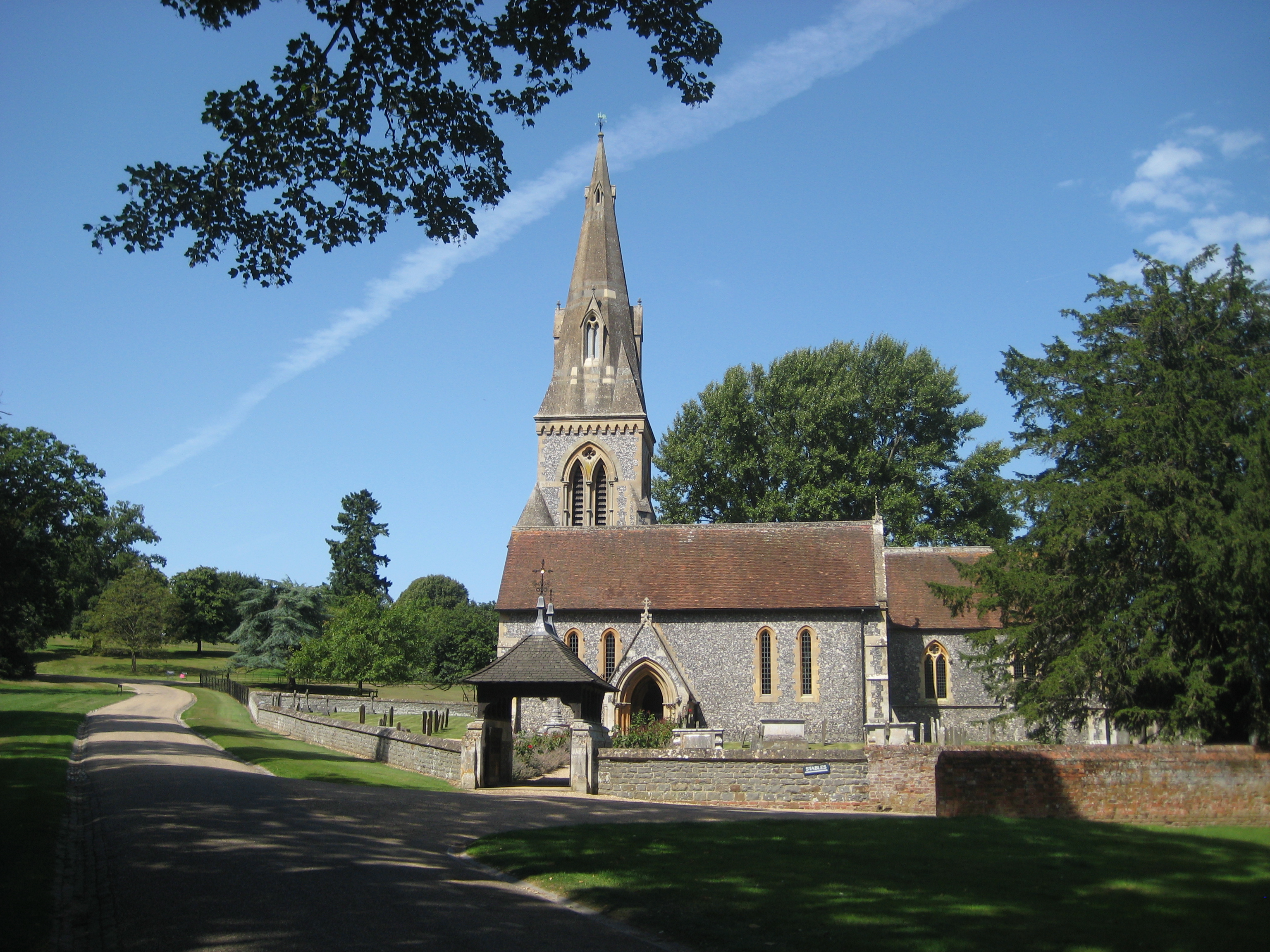
Englefield House
Englefield House is an Elizabethan country house with surrounding estate at Englefield in the English county of Berkshire. The gardens are open to the...
Englefield, Berkshire
Englefield is a village and civil parish in the English county of Berkshire. The village is mostly within the bounds of the private walled estate of Englefield...

Battle of Englefield
The Battle of Englefield was a West Saxon victory against a Danish Viking army on about 31 December 870 at Englefield, near Reading in Berkshire. It was...
Southend, Berkshire
Southend or Bradfield Southend is a small rural village in the west of the civil parish of Bradfield in the English county of Berkshire. Until the 1965...

Tyle Mill
Tyle Mill is a mill on the River Kennet near Sulhamstead, Berkshire, England. The mill originally produced flour; a fire in 1914 burned down the buildings...

Bradfield College
Bradfield College, formally St Andrew's College, Bradfield, is a public school (English fee-charging boarding and day school) for pupils aged 13–18, located...

Bradfield, Berkshire
Bradfield is a village and civil parish in Berkshire, England. Aside from farms and a smaller amount of woodland its main settlements are Bradfield Southend...

Theale Green School
Theale Green School is a coeducational secondary school and sixth form with academy status, located in the village of Theale, Berkshire, England. The...
Nearby Amenities
Located within 500m of 51.434115,-1.1156715Have you been to Tinker's Pightle Copse?
Leave your review of Tinker's Pightle Copse below (or comments, questions and feedback).