Old Clays Copse
Wood, Forest in Berkshire
England
Old Clays Copse
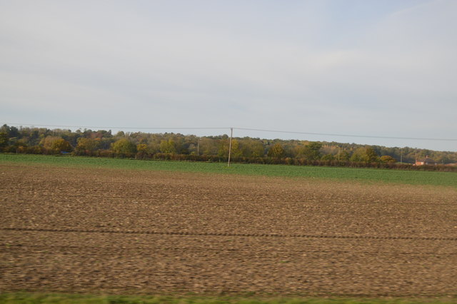
Old Clays Copse is a picturesque woodland located in the county of Berkshire, England. Situated near the town of Wokingham, this ancient forest covers an area of approximately 100 acres and is known for its diverse range of flora and fauna.
The copse is predominantly made up of deciduous trees, including oak, beech, and birch, which create a dense canopy overhead, providing a cool and tranquil atmosphere. The forest floor is adorned with a carpet of bluebells in the springtime, adding bursts of color to the otherwise green landscape.
Walking through Old Clays Copse, one can encounter a variety of wildlife. The forest is home to numerous bird species such as woodpeckers, owls, and warblers, which can be heard singing their melodious tunes. Squirrels can be seen scurrying along the branches, while the lucky observer may catch a glimpse of a timid deer or fox darting through the undergrowth.
The copse is a popular destination for nature enthusiasts and hikers, with several well-marked trails meandering through the woodland. These trails offer visitors the opportunity to explore the forest at their own pace and discover the hidden treasures within.
Old Clays Copse is not only a haven for wildlife but also serves as an important conservation area. Efforts are made to protect and maintain the biodiversity of the woodland, ensuring future generations can continue to enjoy its beauty.
With its serene ambiance and abundant natural wonders, Old Clays Copse is a cherished part of Berkshire's natural heritage, providing a peaceful retreat for those seeking solace in nature.
If you have any feedback on the listing, please let us know in the comments section below.
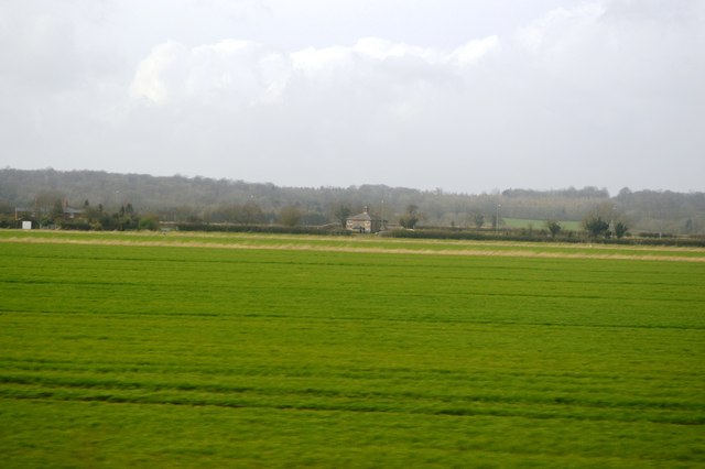
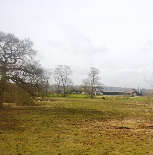
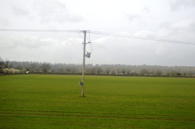
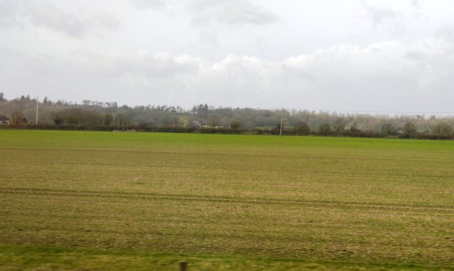
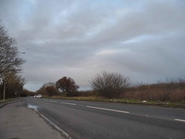
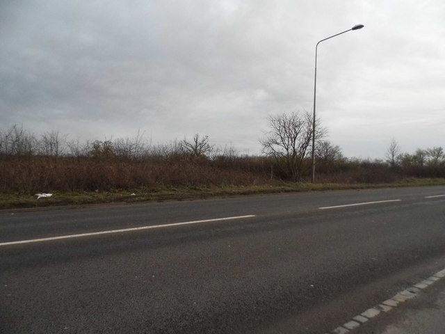
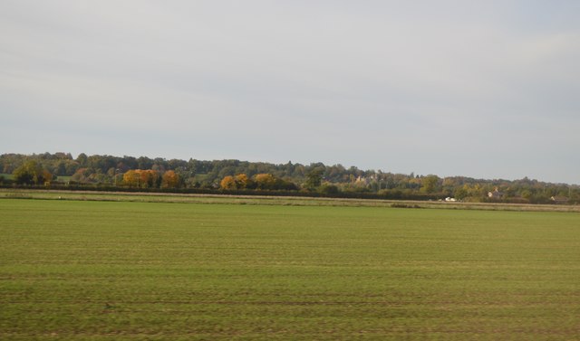
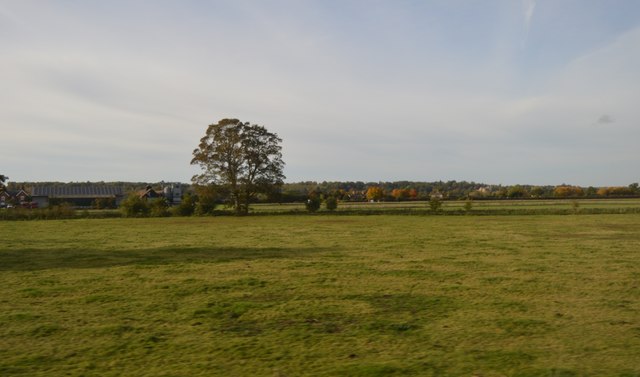
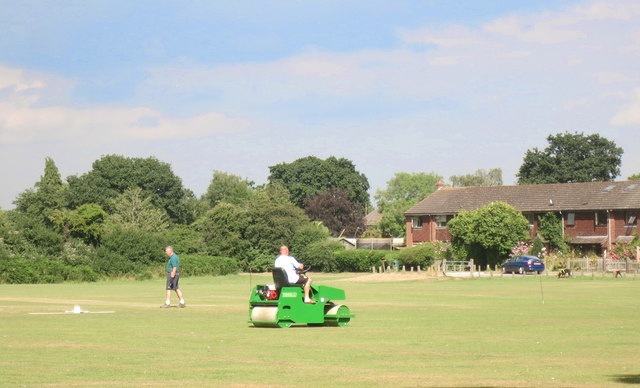
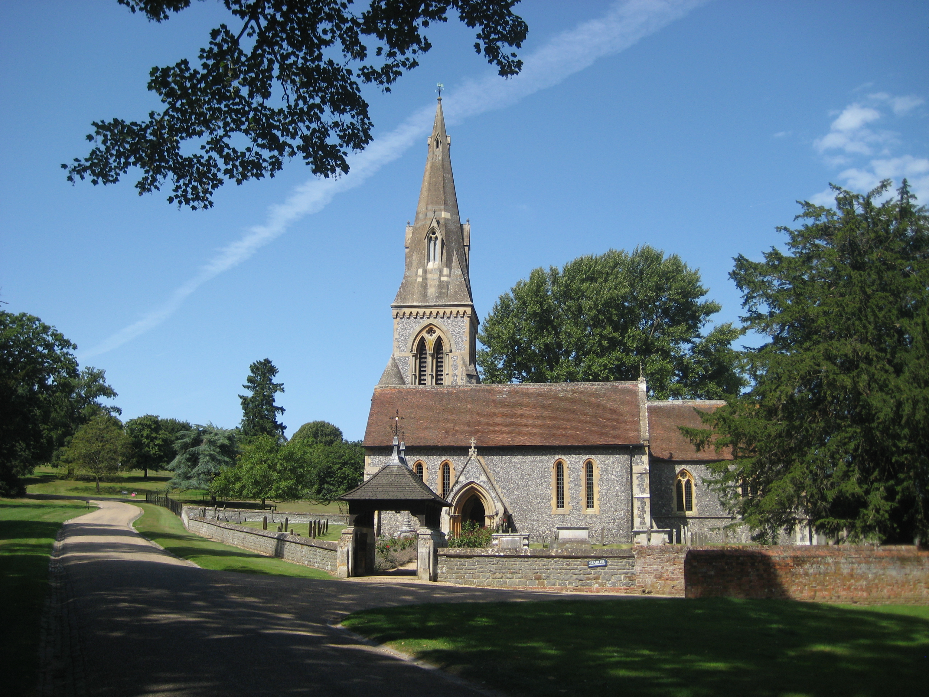
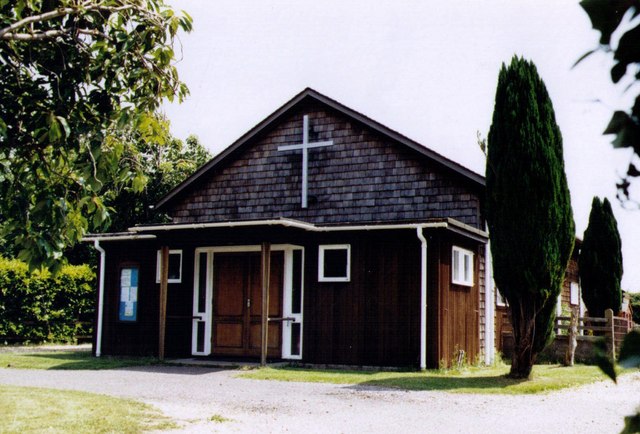
Old Clays Copse Images
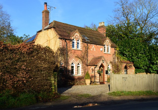
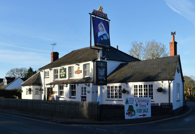
Images are sourced within 2km of 51.433723/-1.1173622 or Grid Reference SU6170. Thanks to Geograph Open Source API. All images are credited.

Old Clays Copse is located at Grid Ref: SU6170 (Lat: 51.433723, Lng: -1.1173622)
Unitary Authority: West Berkshire
Police Authority: Thames Valley
What 3 Words
///atom.finger.pens. Near Bradfield, Berkshire
Nearby Locations
Related Wikis

Englefield House
Englefield House is an Elizabethan country house with surrounding estate at Englefield in the English county of Berkshire. The gardens are open to the...
Englefield, Berkshire
Englefield is a village and civil parish in the English county of Berkshire. The village is mostly within the bounds of the private walled estate of Englefield...

Battle of Englefield
The Battle of Englefield was a West Saxon victory against a Danish Viking army on about 31 December 870 at Englefield, near Reading in Berkshire. It was...
Southend, Berkshire
Southend or Bradfield Southend is a small rural village in the west of the civil parish of Bradfield in the English county of Berkshire. Until the 1965...

Bradfield College
Bradfield College, formally St Andrew's College, Bradfield, is a public school (English fee-charging boarding and day school) for pupils aged 13–18, located...

Bradfield, Berkshire
Bradfield is a village and civil parish in Berkshire, England. Aside from farms and a smaller amount of woodland its main settlements are Bradfield Southend...

Tyle Mill
Tyle Mill is a mill on the River Kennet near Sulhamstead, Berkshire, England. The mill originally produced flour; a fire in 1914 burned down the buildings...

Ufton Nervet rail crash
The Ufton Nervet rail crash occurred on 6 November 2004 when a passenger train collided with a stationary car on a level crossing on the Reading–Taunton...
Nearby Amenities
Located within 500m of 51.433723,-1.1173622Have you been to Old Clays Copse?
Leave your review of Old Clays Copse below (or comments, questions and feedback).