Clays Copse
Wood, Forest in Berkshire
England
Clays Copse
Clays Copse is a picturesque woodland located in the county of Berkshire, England. Covering an area of approximately 50 acres, it is nestled within the beautiful countryside and is a popular destination for nature enthusiasts and outdoor lovers.
The copse is characterized by its dense canopy of trees, predominantly consisting of native species such as oak, beech, and birch. These towering trees provide a tranquil and shaded environment, perfect for leisurely walks and exploring the natural surroundings. The forest floor is adorned with a carpet of ferns, wildflowers, and mosses, adding to the enchanting atmosphere of the copse.
The woodland is crisscrossed by a network of well-maintained footpaths, allowing visitors to easily navigate through the area. These paths lead to various points of interest, including a small stream that meanders through the copse, creating a soothing soundtrack of gently flowing water. There are also several open clearings within the woodland, providing opportunities for picnics or simply finding a peaceful spot to relax and enjoy the scenery.
Clays Copse is home to a diverse range of wildlife, making it a haven for nature enthusiasts. Birdwatchers can spot a variety of species, including woodpeckers, tits, and finches, while lucky visitors may even catch a glimpse of a shy roe deer or a fox darting through the undergrowth.
Overall, Clays Copse in Berkshire offers a serene and idyllic escape from the hustle and bustle of everyday life. Whether it's for a leisurely stroll, birdwatching, or simply reconnecting with nature, this enchanting woodland provides a rejuvenating experience for all who visit.
If you have any feedback on the listing, please let us know in the comments section below.
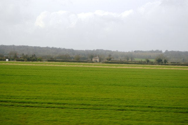
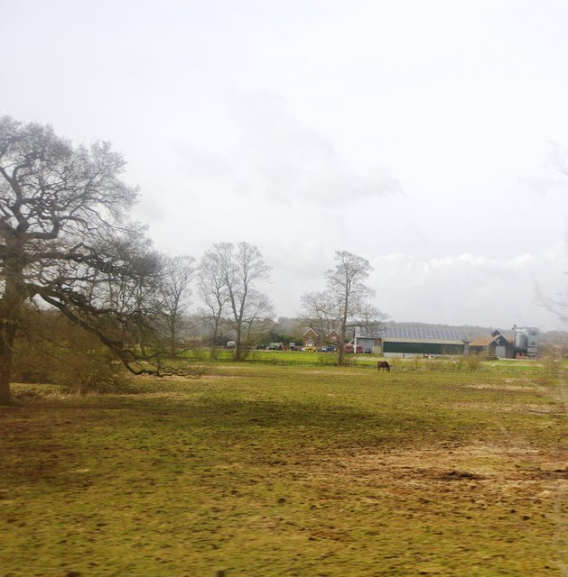
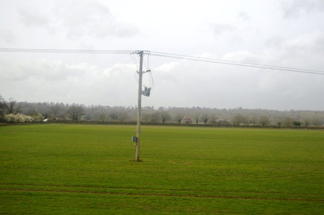
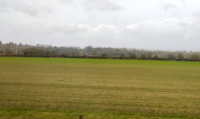
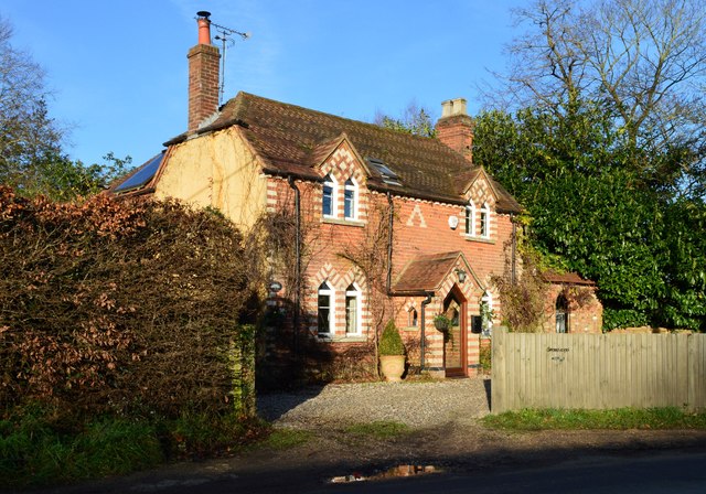
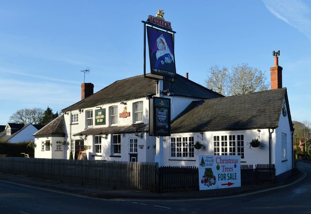
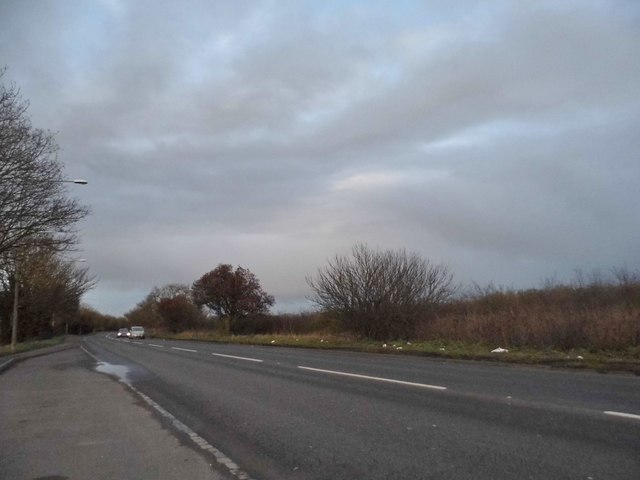
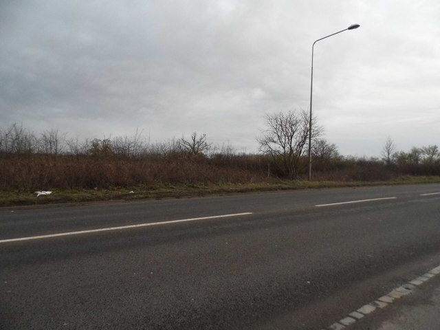
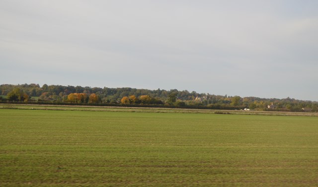
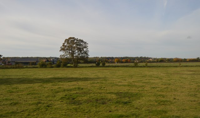
Clays Copse Images
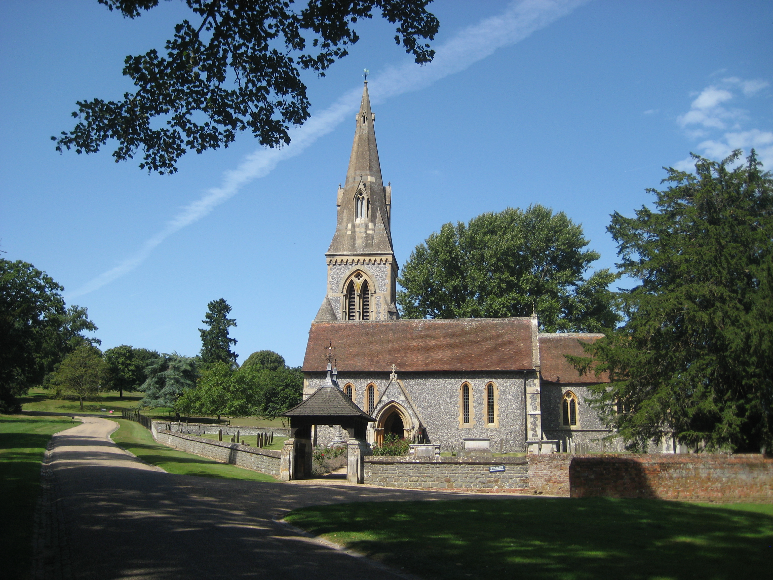
Images are sourced within 2km of 51.434334/-1.1162139 or Grid Reference SU6170. Thanks to Geograph Open Source API. All images are credited.


Clays Copse is located at Grid Ref: SU6170 (Lat: 51.434334, Lng: -1.1162139)
Unitary Authority: West Berkshire
Police Authority: Thames Valley
What 3 Words
///degree.miles.leaves. Near Bradfield, Berkshire
Nearby Locations
Related Wikis

Englefield House
Englefield House is an Elizabethan country house with surrounding estate at Englefield in the English county of Berkshire. The gardens are open to the...
Englefield, Berkshire
Englefield is a village and civil parish in the English county of Berkshire. The village is mostly within the bounds of the private walled estate of Englefield...

Battle of Englefield
The Battle of Englefield was a West Saxon victory against a Danish Viking army on about 31 December 870 at Englefield, near Reading in Berkshire. It was...
Southend, Berkshire
Southend or Bradfield Southend is a small rural village in the west of the civil parish of Bradfield in the English county of Berkshire. Until the 1965...

Bradfield College
Bradfield College, formally St Andrew's College, Bradfield, is a public school (English fee-charging boarding and day school) for pupils aged 13–18, located...

Bradfield, Berkshire
Bradfield is a village and civil parish in Berkshire, England. Aside from farms and a smaller amount of woodland its main settlements are Bradfield Southend...

Tyle Mill
Tyle Mill is a mill on the River Kennet near Sulhamstead, Berkshire, England. The mill originally produced flour; a fire in 1914 burned down the buildings...

Theale Green School
Theale Green School is a coeducational secondary school and sixth form with academy status, located in the village of Theale, Berkshire, England. The...
Nearby Amenities
Located within 500m of 51.434334,-1.1162139Have you been to Clays Copse?
Leave your review of Clays Copse below (or comments, questions and feedback).