Ufton Wood

Wood, Forest in Berkshire

England

Ufton Wood

Still Waters on the Kennet and Avon Canal Where the waters split near Tyle Mill
Still Waters on the Kennet and Avon Canal Credit: Andrew Tryon

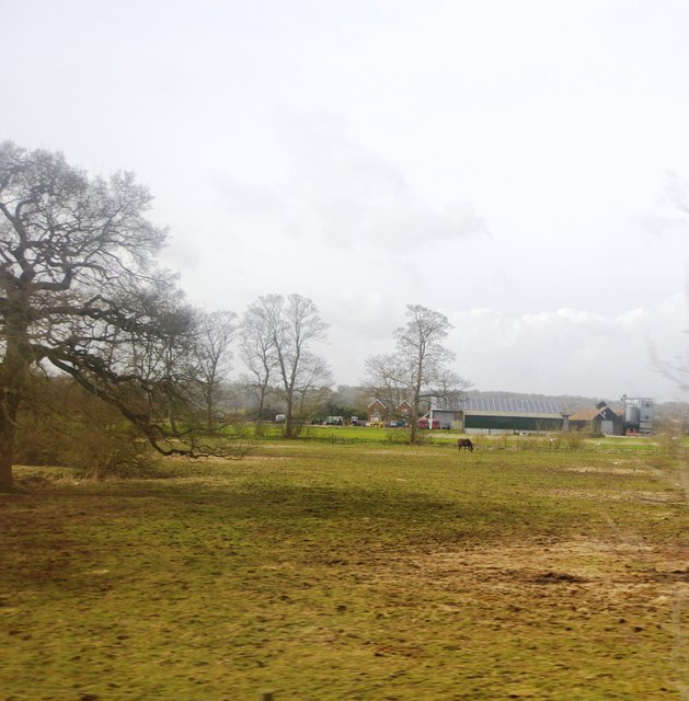
Ufton Wood is a picturesque woodland located in Berkshire, England. Situated near the village of Ufton Nervet, it covers an area of approximately 100 acres and is renowned for its natural beauty and diverse wildlife.

The woodland is primarily composed of mixed deciduous trees, including oak, beech, ash, and birch, which create a stunning canopy of foliage throughout the year. This variety of trees provides a rich habitat for a wide range of flora and fauna. Bluebells carpet the forest floor in spring, creating a mesmerizing display of vibrant colors.

Ufton Wood is a designated Site of Special Scientific Interest (SSSI) due to its ecological importance. It is home to various bird species, including woodpeckers, warblers, and owls, making it a popular destination for birdwatchers. The wood also supports a diverse population of mammals such as badgers, foxes, and deer.

The woodland offers several walking trails, allowing visitors to explore its tranquil surroundings. These paths wind through the trees, providing a peaceful escape from the hustle and bustle of daily life. In addition to its natural beauty, Ufton Wood also boasts historical significance. The remains of an Iron Age hill fort can be found within its boundaries, adding an extra layer of intrigue to this enchanting woodland.

Ufton Wood is open to the public and managed by a local conservation organization. Visitors are encouraged to respect the natural environment and adhere to any guidelines provided to ensure the preservation of this precious ecosystem for future generations to enjoy.

If you have any feedback on the listing, please let us know in the comments section below.
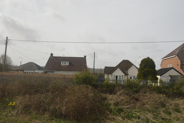
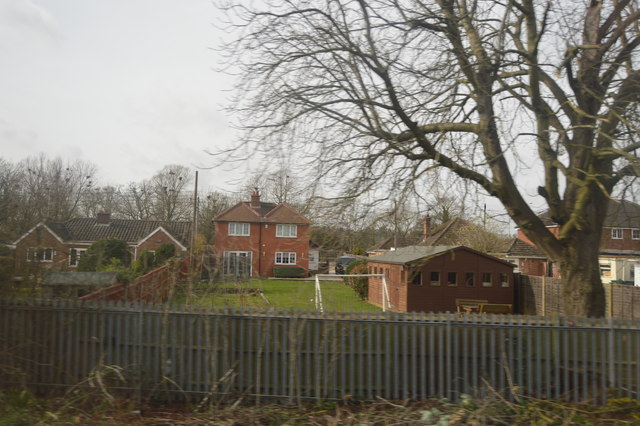
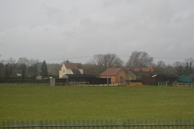
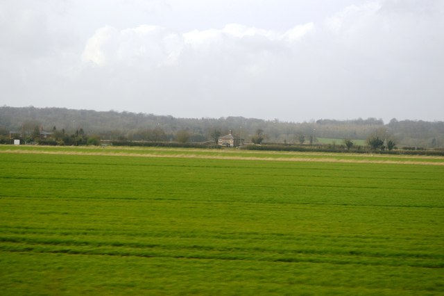
Ufton Wood Images

Images are sourced within 2km of 51.428585/-1.1229558 or Grid Reference SU6170. Thanks to Geograph Open Source API. All images are credited.

Still Waters on the Kennet and Avon Canal Where the waters split near Tyle Mill
Still Waters on the Kennet and Avon Canal
Where the waters split near Tyle Mill
Houses, Bath Rd
Houses, Bath Rd
Railside housing, Lower Padworth
Bath Road Farm
Bath Road Farm
Farmland by the railway
Milehouse Farm
Milehouse Farm
Pylon in a field
Pylon in a field
Field between the railway and A4
Poplar plantation, Ufton Green, Berkshire
Canal and Railway Between Reading and Pewsey the canal and railway follow each other closely.
Sometimes very closely.
Canal and Railway
Between Reading and Pewsey the canal and railway follow each other closely. Sometimes very closely.
River Kennet near Ufton Bridge The canal and river are intertwined all along here. This is a section of navigable River Kennet.
River Kennet near Ufton Bridge
The canal and river are intertwined all along here. This is a section of navigable River Kennet.
Kennet and Avon Canal, Ufton, Berkshire
Village house, Bradfield Southend, Berkshire
The Queen's Head, Bradfield Southend, Berkshire
Pasture by the Kennet & Avon Canal Equines graze between railway and canal near Tylemill Bridge.
Pasture by the Kennet & Avon Canal
Equines graze between railway and canal near Tylemill Bridge.
One Way, Kennet & Avon Canal A Narrowboat is a long thin boat, designed to fit the canals of England and Wales. They were 7 feet (2.1 metres) wide, and up to 70 feet (21 metres) in length, the maximum that will fit in a standard lock.

In the 18th century before the age of steam railways and the internal combustion engines, the canals were one of the key systems of transporting goods around the country. The boats were towed by a shire horse walking along the tow-path. Of course boats today are powered by diesel engines.

Most narrowboats today are used for holidays & leisure cruising, and some are used as homes.

Read more at wikipedia <span class="nowrap"><a title="http://en.wikipedia.org/wiki/Narrowboat" rel="nofollow ugc noopener" href="http://en.wikipedia.org/wiki/Narrowboat">Link</a><img style="margin-left:2px;" alt="External link" title="External link - shift click to open in new window" src="https://s1.geograph.org.uk/img/external.png" width="10" height="10"/></span>
One Way, Kennet & Avon Canal
A Narrowboat is a long thin boat, designed to fit the canals of England and Wales. They were 7 feet (2.1 metres) wide, and up to 70 feet (21 metres) in length, the maximum that will fit in a standard lock. In the 18th century before the age of steam railways and the internal combustion engines, the canals were one of the key systems of transporting goods around the country. The boats were towed by a shire horse walking along the tow-path. Of course boats today are powered by diesel engines. Most narrowboats today are used for holidays & leisure cruising, and some are used as homes. Read more at wikipedia LinkExternal link
Channel of the River Kennet leaves the canal The Kennet and Avon is made up of two river navigations and a linking stretch of canal. It runs from Hanham Lock near Bristol to the River Thames at Reading, over 100 miles long with more than 100 locks, some magnificent engineering and crossing some of the most beautiful scenery in southern England. It was only reopened in 1990 after decades of dereliction.
Channel of the River Kennet leaves the canal
The Kennet and Avon is made up of two river navigations and a linking stretch of canal. It runs from Hanham Lock near Bristol to the River Thames at Reading, over 100 miles long with more than 100 locks, some magnificent engineering and crossing some of the most beautiful scenery in southern England. It was only reopened in 1990 after decades of dereliction.
Autumnal colours, Kennet & Avon Canal The Kennet and Avon is made up of two river navigations and a linking stretch of canal. It runs from Hanham Lock near Bristol to the River Thames at Reading, over 100 miles long with more than 100 locks, some magnificent engineering and crossing some of the most beautiful scenery in southern England. It was only reopened in 1990 after decades of dereliction.
Autumnal colours, Kennet & Avon Canal
The Kennet and Avon is made up of two river navigations and a linking stretch of canal. It runs from Hanham Lock near Bristol to the River Thames at Reading, over 100 miles long with more than 100 locks, some magnificent engineering and crossing some of the most beautiful scenery in southern England. It was only reopened in 1990 after decades of dereliction.
Show me another place!

Ufton Wood is located at Grid Ref: SU6170 (Lat: 51.428585, Lng: -1.1229558)

Unitary Authority: West Berkshire

Police Authority: Thames Valley

What 3 Words

///modest.deals.settle. Near Bradfield, Berkshire

Related Wikis

Southend, Berkshire

Southend or Bradfield Southend is a small rural village in the west of the civil parish of Bradfield in the English county of Berkshire. Until the 1965...

Ufton Nervet rail crash

The Ufton Nervet rail crash occurred on 6 November 2004 when a passenger train collided with a stationary car on a level crossing on the Reading–Taunton...
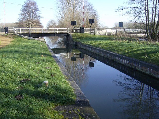
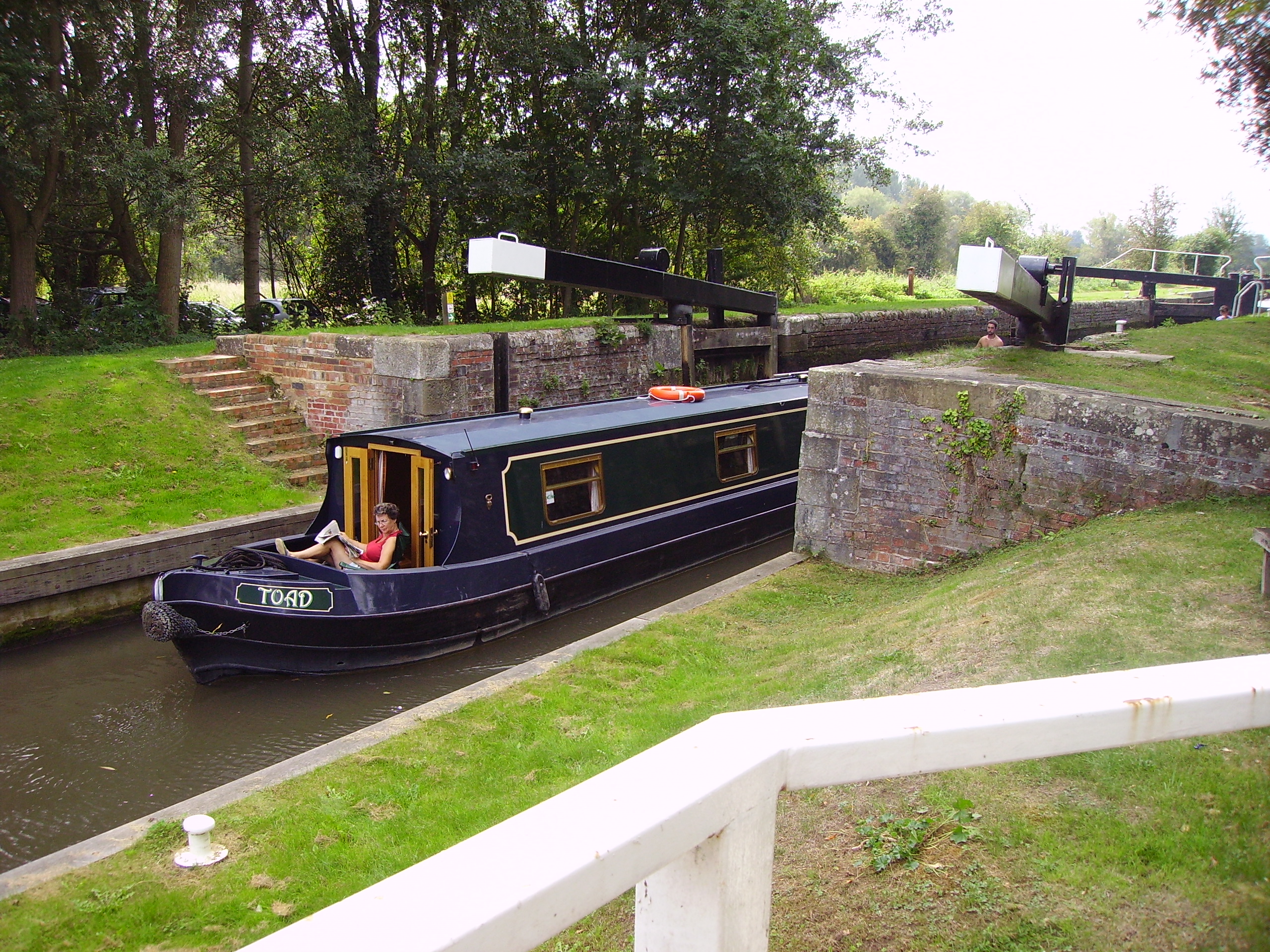
Ufton Lock

Ufton Lock is a degated lock on the Kennet and Avon Canal, between Padworth and Sulhamstead, Berkshire, England. == History == Ufton Lock was built in...

Tyle Mill

Tyle Mill is a mill on the River Kennet near Sulhamstead, Berkshire, England. The mill originally produced flour; a fire in 1914 burned down the buildings...

Tyle Mill Lock

Tyle Mill Lock (grid reference SU626691) is a lock situated near Tyle Mill and the village of Sulhamstead on the Kennet and Avon Canal, England. Tyle Mill...
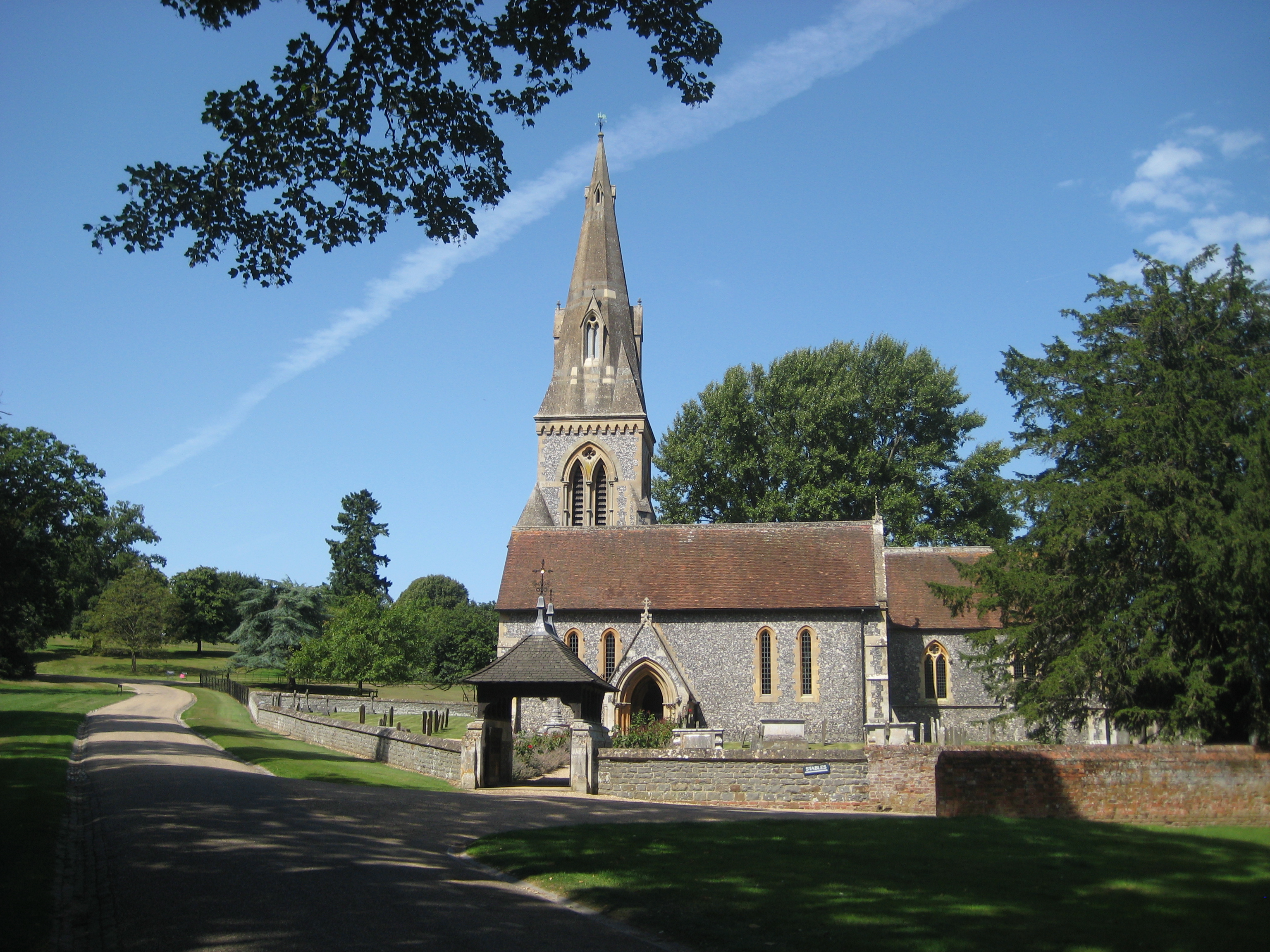
Englefield House

Englefield House is an Elizabethan country house with surrounding estate at Englefield in the English county of Berkshire. The gardens are open to the...

Beenham

Beenham is a village and civil parish centred 6 miles (9.7 km) east of Newbury in the West Berkshire district of Berkshire, England. == Geography == Beenham...

Englefield, Berkshire

Englefield is a village and civil parish in the English county of Berkshire. The village is mostly within the bounds of the private walled estate of Englefield...

Nearby Amenities

Located within 500m of 51.428585,-1.1229558
Barrier: cattle_grid
Lat/Long: 51.426095/-1.1231295
Bench
Lat/Long: 51.4318956/-1.1212387
Barrier: stile
Foot: yes
Lat/Long: 51.4262155/-1.1282942
Traffic Calming: hump
Lat/Long: 51.4254175/-1.1240111
Barrier: cattle_grid
Lat/Long: 51.4309807/-1.1170075
The data included in this document is from www.openstreetmap.org. The data is made available under ODbL.

Have you been to Ufton Wood?

Leave your review of Ufton Wood below (or comments, questions and feedback).