Sandbeds Plantation

Wood, Forest in Yorkshire Hambleton

England

Sandbeds Plantation

Cleveland Way path heading off the moor This looks like a steep descent, but it's only a short descent before levelling out through the forest on Coate Moor.
Cleveland Way path heading off the moor Credit: Gordon Hatton

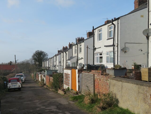
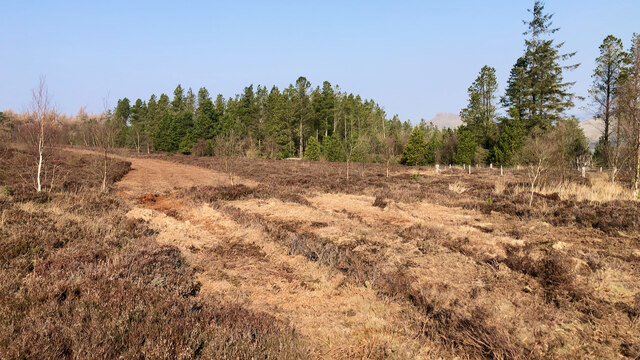
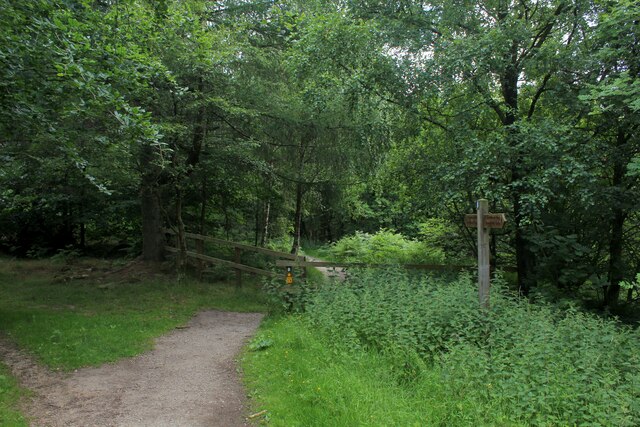
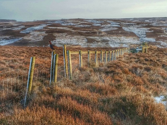
Sandbeds Plantation is a picturesque woodland located in Yorkshire, England. Situated in the heart of the region, the plantation spans over a vast area, encompassing dense forests and sprawling woodlands. It is a popular destination for nature enthusiasts and hikers alike, offering a serene escape from the bustling city life.

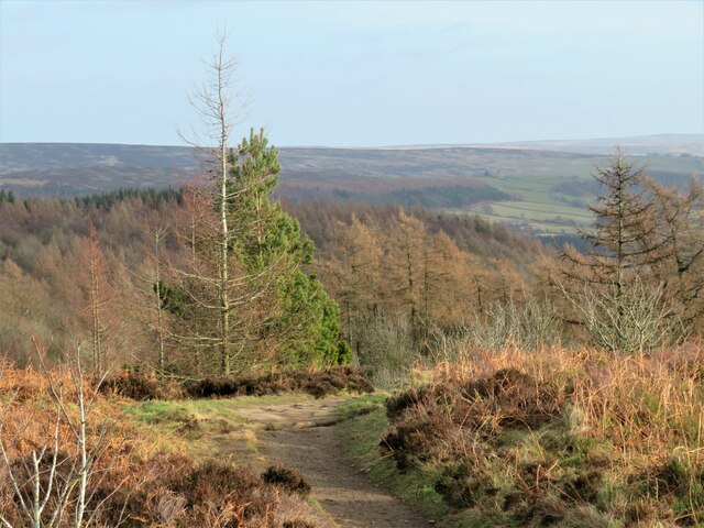
The plantation is known for its diverse range of flora and fauna, with various species of trees such as oak, beech, and ash dominating the landscape. The dense foliage provides a habitat for countless woodland creatures, including deer, foxes, and a plethora of bird species. It is a haven for birdwatchers, who can spot species like the great spotted woodpecker and tawny owl.

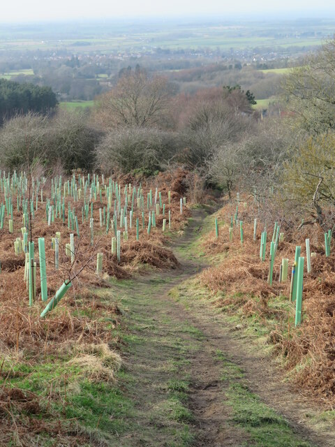
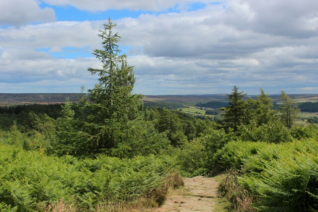
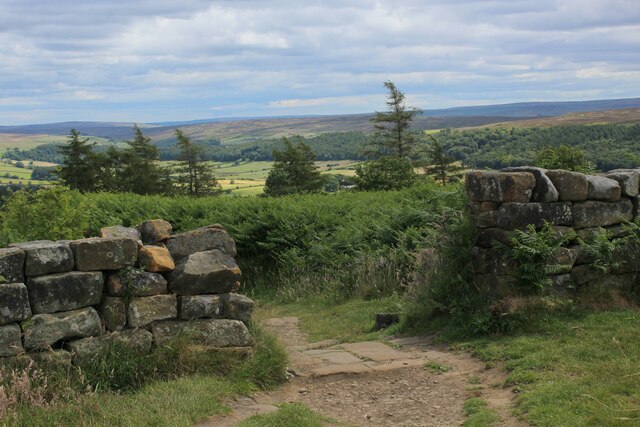
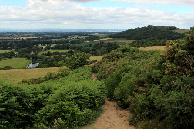
The plantation also boasts several well-maintained trails, making it an ideal spot for walking and hiking. Visitors can explore the woodland at their own pace, immersing themselves in the natural beauty that surrounds them. Additionally, there are designated picnic areas where visitors can relax and enjoy a meal amidst the tranquil surroundings.

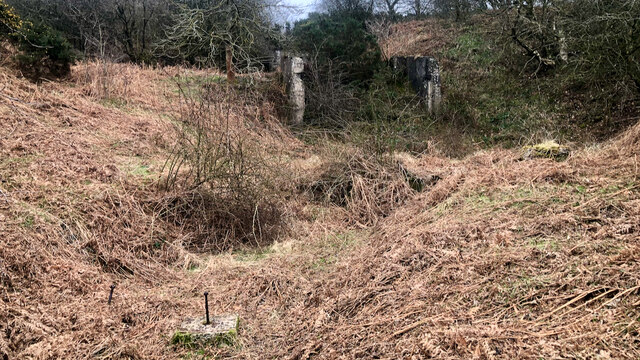
Sandbeds Plantation is not only a natural gem but also holds historical significance. It is believed to have been a part of the ancient royal hunting grounds, dating back to the medieval period. The plantation's rich history can be traced through remnants of old structures and boundaries that still exist within its borders.

Overall, Sandbeds Plantation offers a captivating blend of natural beauty, recreational opportunities, and historical significance. It is a must-visit destination for anyone seeking a peaceful retreat in the heart of Yorkshire's enchanting woodlands.

If you have any feedback on the listing, please let us know in the comments section below.

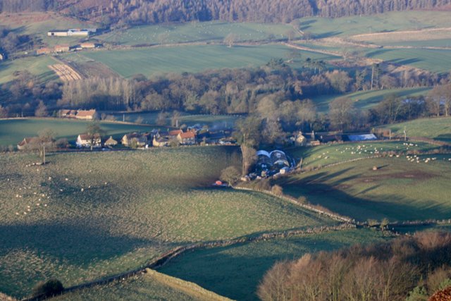
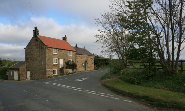
Sandbeds Plantation Images

Images are sourced within 2km of 54.481644/-1.0735807 or Grid Reference NZ6009. Thanks to Geograph Open Source API. All images are credited.
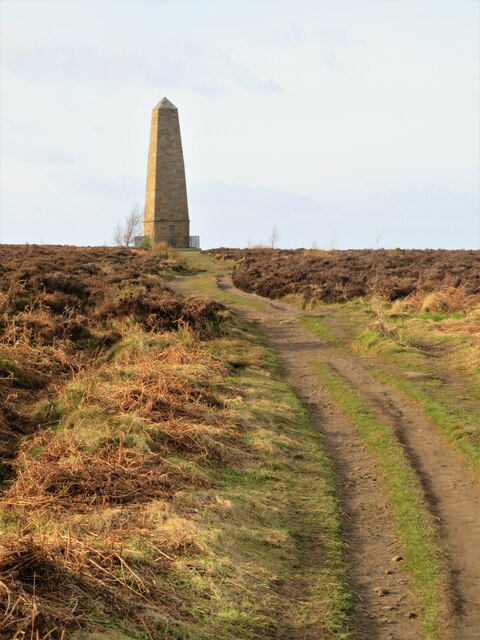
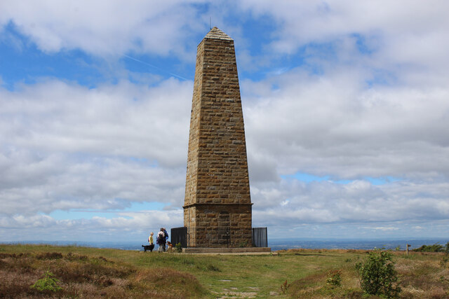
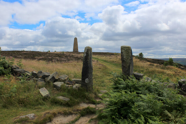
Cleveland Way path heading off the moor This looks like a steep descent, but it's only a short descent before levelling out through the forest on Coate Moor.
Cleveland Way path heading off the moor
This looks like a steep descent, but it's only a short descent before levelling out through the forest on Coate Moor.
Cleveland Way towards the Captain Cook Monument An easy stretch across near level moorland, but on this occasion the fierce NW headwind made progress difficult.
Cleveland Way towards the Captain Cook Monument
An easy stretch across near level moorland, but on this occasion the fierce NW headwind made progress difficult.
Path down to the car park A heavily used path that is part of the Cleveland Way and is also the easiest way to the Captain Cook monument from the road.  Much less litter [particularly doggy poo bags slung into trees] than on my last visit. No doubt some clearing up by public spirited people.
Path down to the car park
A heavily used path that is part of the Cleveland Way and is also the easiest way to the Captain Cook monument from the road. Much less litter [particularly doggy poo bags slung into trees] than on my last visit. No doubt some clearing up by public spirited people.
Path descending Ayton Bank This is footpath number 10.57/001, which I suspected might have been on the line of an old tramway, but I was wrong. There were old tramways serving mines in this area, but this wasn't one of them. Plenty of new tree saplings in evidence, with the area to the left pockmarked by old mine drifts and spoil heaps.
Path descending Ayton Bank
This is footpath number 10.57/001, which I suspected might have been on the line of an old tramway, but I was wrong. There were old tramways serving mines in this area, but this wasn't one of them. Plenty of new tree saplings in evidence, with the area to the left pockmarked by old mine drifts and spoil heaps.
Old spoil tips on Ayton Bank Something of a guessing game here. Are these from old alum mines, jet workings or iron mines?  Mick Garratt is the local expert and a similar photo by him describes the tips as from the old Ayton Banks iron ore mine.  I'm not so sure, as old 6" OS maps from between the 1850's and 1920's show various mining activities on this hillside. Those highest up are from Alum mines, which produce a lot of shale, but they were higher than this and probably long abandoned. The old maps show several small tips running in a line along the hillside at this level from old jet workings, and I suspect these tips are from those workings. The iron mine was a little further south in the adjoining square, so I don't think these tips are to do with the iron mining industry.
Old spoil tips on Ayton Bank
Something of a guessing game here. Are these from old alum mines, jet workings or iron mines? Mick Garratt is the local expert and a similar photo by him describes the tips as from the old Ayton Banks iron ore mine. I'm not so sure, as old 6" OS maps from between the 1850's and 1920's show various mining activities on this hillside. Those highest up are from Alum mines, which produce a lot of shale, but they were higher than this and probably long abandoned. The old maps show several small tips running in a line along the hillside at this level from old jet workings, and I suspect these tips are from those workings. The iron mine was a little further south in the adjoining square, so I don't think these tips are to do with the iron mining industry.
Gribdale Terrace The initial thought is that these must have been erected for miners in the local iron ore mine or even for the jet mining, but the dates don't seem to match. The terrace first appears on the 1913 OS map, and it seems that they were for quarrymen working in the Whinstone quarry further down the hill. The whinstone follows the long thin line of the Cleveland Dyke which runs across much of the North York Moors from Great Ayton towards Robin Hood's Bay with the best deposits at this western end. Quarrying for whinstone, largely used in road construction, carried on in this area until the 1960's.
Gribdale Terrace
The initial thought is that these must have been erected for miners in the local iron ore mine or even for the jet mining, but the dates don't seem to match. The terrace first appears on the 1913 OS map, and it seems that they were for quarrymen working in the Whinstone quarry further down the hill. The whinstone follows the long thin line of the Cleveland Dyke which runs across much of the North York Moors from Great Ayton towards Robin Hood's Bay with the best deposits at this western end. Quarrying for whinstone, largely used in road construction, carried on in this area until the 1960's.
Ayton Banks Ironstone Mine I thought I would have a look around the Ayton Banks Ironstone Mine before the summer vegetation growth takes hold, only to find when I got home that I have already posted a photo of the old drift entrance. But that was an eternity ago, in January 2015.

Ayton Banks Ironstone Mine was the smallest of the three mines around Great Ayton, containing about 1½ million tons of rather poor quality ironstone.

It was completely surrounded by the workings of the Pease & Partners’ Ayton Mine — that’s its official name which must have led to some confusion and probably one of the reasons why locally that was called ‘Monument Mine’.

To give some comparison, in 1917, Ayton Banks Mine was producing 1,500 tons per week whereas Monument Mine was 2,100 per week.

Ayton Banks was operated by the Tees Furnace Company, which at the time also ran the Roseberry Mine.

The mine is pretty unique in that due to its constricted surface works, there was no room below the mine entrance to dump spoil below the drift entrance and so had to be transported up the slope.

Another difficulty, which Ayton Banks shared with Monument Mine, is that the whinstone dyke had to be penetrated in order to access the ore to the north of it.

Initially a branch line provided a connection to the whinstone quarry’s narrow gauge railway and thence onto the mainline sidings, but soon an aerial ropeway was constructed connecting with sidings near the foot of Cliff Rigg. The bases for these ropeway towers can be seen today in Cliff Rigg Wood.

The featured image shows a concrete bunker and behind a chute where the ironstone was tipped into the ropeway tubs. In the cutting I counted at least three bases, possibly for the ropeway or engine or boiler foundations.

One photo shows a group of boy miners with their ponies at Ayton Banks mine. Left to Right: Harold Robinson; Henry Hogben; George Williamson; George Haswell; Robert Bennison; George Bailey; Marvin Porritt.

In the photo, George Williamson seems happy, the others stare tentatively into the Edwardian camera unsure whether to smile. The ponies look quite comical under their skull caps.

The 1911 census records that Williamson was born in 1900, Hogben 1902 and Haswell 1899. So I guess the photo was taken about the mid-1910s.

In 1913, another pony boy, John Garbutt, aged just 14 so would have been born in the same year as Haswell, was killed in Ayton Banks Mine, crushed by a wagon. At the inquiry it was found that Garbutt was killed as “the result of his own improper conduct” presumably absolving the company of all responsibility.

Perhaps the lads were thinking of their lost friend.

The mine had a short operational life. From 1909, at the height of the boom years to the post-war depression in 1921.

For links, references and supplementary photo, see my blog <span class="nowrap"><a title="http://www.fhithich.uk/?p=27475" rel="nofollow ugc noopener" href="http://www.fhithich.uk/?p=27475">Link</a><img style="margin-left:2px;" alt="External link" title="External link - shift click to open in new window" src="https://s1.geograph.org.uk/img/external.png" width="10" height="10"/></span>
Ayton Banks Ironstone Mine
I thought I would have a look around the Ayton Banks Ironstone Mine before the summer vegetation growth takes hold, only to find when I got home that I have already posted a photo of the old drift entrance. But that was an eternity ago, in January 2015. Ayton Banks Ironstone Mine was the smallest of the three mines around Great Ayton, containing about 1½ million tons of rather poor quality ironstone. It was completely surrounded by the workings of the Pease & Partners’ Ayton Mine — that’s its official name which must have led to some confusion and probably one of the reasons why locally that was called ‘Monument Mine’. To give some comparison, in 1917, Ayton Banks Mine was producing 1,500 tons per week whereas Monument Mine was 2,100 per week. Ayton Banks was operated by the Tees Furnace Company, which at the time also ran the Roseberry Mine. The mine is pretty unique in that due to its constricted surface works, there was no room below the mine entrance to dump spoil below the drift entrance and so had to be transported up the slope. Another difficulty, which Ayton Banks shared with Monument Mine, is that the whinstone dyke had to be penetrated in order to access the ore to the north of it. Initially a branch line provided a connection to the whinstone quarry’s narrow gauge railway and thence onto the mainline sidings, but soon an aerial ropeway was constructed connecting with sidings near the foot of Cliff Rigg. The bases for these ropeway towers can be seen today in Cliff Rigg Wood. The featured image shows a concrete bunker and behind a chute where the ironstone was tipped into the ropeway tubs. In the cutting I counted at least three bases, possibly for the ropeway or engine or boiler foundations. One photo shows a group of boy miners with their ponies at Ayton Banks mine. Left to Right: Harold Robinson; Henry Hogben; George Williamson; George Haswell; Robert Bennison; George Bailey; Marvin Porritt. In the photo, George Williamson seems happy, the others stare tentatively into the Edwardian camera unsure whether to smile. The ponies look quite comical under their skull caps. The 1911 census records that Williamson was born in 1900, Hogben 1902 and Haswell 1899. So I guess the photo was taken about the mid-1910s. In 1913, another pony boy, John Garbutt, aged just 14 so would have been born in the same year as Haswell, was killed in Ayton Banks Mine, crushed by a wagon. At the inquiry it was found that Garbutt was killed as “the result of his own improper conduct” presumably absolving the company of all responsibility. Perhaps the lads were thinking of their lost friend. The mine had a short operational life. From 1909, at the height of the boom years to the post-war depression in 1921. For links, references and supplementary photo, see my blog LinkExternal link
It can be done … The relatively small patch of heather moorland around Captain Cook’s Monument has recently been strip mowed.

This photo is technically of a strip on Little Ayton Moor, north of the parish boundary wall, but the area surrounding the monument, Easby Moor, also has at least two parallel strips. The moors are technically dry upland heath, a habitat dominated by dwarf shrubs, especially heather. It should support a particular variety of plants and animals, including rare and scarce species of plants, birds and invertebrates.

But it has to be maintained to keep it such.

On larger areas of moorland which are intensively managed for grouse shooting, a diverse range of heather ages will undoubtably benefit grouse. The chicks need young heather shoots for feeding while nesting in the taller, older heather.

This diversity of heather is traditionally achieved by rotational burning, a season which lasts from 1 October to 15 April. It is a process which also damages rough grass, gorse, bracken and species such as bilberries. Anything which does not benefit the grouse. Local extinctions of reptiles, insects and small mammals must be a severe risk.

Of course, some birds do benefit from the same environment as maximises grouse numbers: Curlew, Lapwing, Golden Plover and Merlin, and these are often cited by gamekeepers as justification for their management techniques.

I guess the aims behind this strip mowing of heather on Little Ayton and Easby moors are two fold. Firstly. to increase diversity of heather age and secondly as a firebreak. I can’t honestly see anyone trying to shoot grouse on Capt. Cook’s Monument so I guess that creation of firebreaks is the main consideration.

Firebreaks can provide important habitats for reptiles such as Common Lizards  and adders which bask in the open areas which are created.

What it shows is that habitats such as upland heath can be achieved by mowing rather than rotational burning.
It can be done …
The relatively small patch of heather moorland around Captain Cook’s Monument has recently been strip mowed. This photo is technically of a strip on Little Ayton Moor, north of the parish boundary wall, but the area surrounding the monument, Easby Moor, also has at least two parallel strips. The moors are technically dry upland heath, a habitat dominated by dwarf shrubs, especially heather. It should support a particular variety of plants and animals, including rare and scarce species of plants, birds and invertebrates. But it has to be maintained to keep it such. On larger areas of moorland which are intensively managed for grouse shooting, a diverse range of heather ages will undoubtably benefit grouse. The chicks need young heather shoots for feeding while nesting in the taller, older heather. This diversity of heather is traditionally achieved by rotational burning, a season which lasts from 1 October to 15 April. It is a process which also damages rough grass, gorse, bracken and species such as bilberries. Anything which does not benefit the grouse. Local extinctions of reptiles, insects and small mammals must be a severe risk. Of course, some birds do benefit from the same environment as maximises grouse numbers: Curlew, Lapwing, Golden Plover and Merlin, and these are often cited by gamekeepers as justification for their management techniques. I guess the aims behind this strip mowing of heather on Little Ayton and Easby moors are two fold. Firstly. to increase diversity of heather age and secondly as a firebreak. I can’t honestly see anyone trying to shoot grouse on Capt. Cook’s Monument so I guess that creation of firebreaks is the main consideration. Firebreaks can provide important habitats for reptiles such as Common Lizards and adders which bask in the open areas which are created. What it shows is that habitats such as upland heath can be achieved by mowing rather than rotational burning.
Cleveland Way approaching the Captain Cook Monument Monument erected on Easby Moor in memory of local lad, Captain James Cook - the celebrated 18th Century navigator and explorer.
The Cleveland Way takes an abrupt right turn at the obelisk, to head due north.
Cleveland Way approaching the Captain Cook Monument
Monument erected on Easby Moor in memory of local lad, Captain James Cook - the celebrated 18th Century navigator and explorer. The Cleveland Way takes an abrupt right turn at the obelisk, to head due north.
In the Depths of the Forest on Coate Moor The Cleveland Way takes to dark plantation between Kildale and Roseberry Topping.
In the Depths of the Forest on Coate Moor
The Cleveland Way takes to dark plantation between Kildale and Roseberry Topping.
Cleveland Way descending East off Easby Moor The National Trail heading into the forest on Coate Moor
Cleveland Way descending East off Easby Moor
The National Trail heading into the forest on Coate Moor
Cleveland Way leaving Easby Moor The Cleveland Way runs 110 miles (177 km) between Helmsley and the Brigg at Filey, skirting the North York Moors National Park. Its highest point is at Urra Moor, 1,489 ft (454 m).
Cleveland Way leaving Easby Moor
The Cleveland Way runs 110 miles (177 km) between Helmsley and the Brigg at Filey, skirting the North York Moors National Park. Its highest point is at Urra Moor, 1,489 ft (454 m).
Bridleway heading towards Round Hill and Dikes Lane
Footpath Crossing Easby Moor Footpath heading for The Captain Cook Monument on Easby Moor
Footpath Crossing Easby Moor
Footpath heading for The Captain Cook Monument on Easby Moor
Rainbow over Great Ayton Moor Taken across the autumn bracken.
Rainbow over Great Ayton Moor
Taken across the autumn bracken.
Barn conversion at Oak Tree Farm
View from Percy Cross Rigg Looking west to Lonsdale.
View from Percy Cross Rigg
Looking west to Lonsdale.
Codhill Heights From Percy Cross.
Codhill Heights
From Percy Cross.
Show me another place!

Sandbeds Plantation is located at Grid Ref: NZ6009 (Lat: 54.481644, Lng: -1.0735807)

Division: North Riding

Administrative County: North Yorkshire

District: Hambleton

Police Authority: North Yorkshire

What 3 Words

///riskiest.seasons.muffin. Near Great Ayton, North Yorkshire

Related Wikis

Kildale railway station

Kildale is a railway station on the Esk Valley Line, which runs between Middlesbrough and Whitby via Nunthorpe. The station, situated 12 miles 65 chains...

Easby Moor

Easby Moor is a hill located in the civil parish of Little Ayton in the North York Moors national park within the Cleveland Hills, North Yorkshire, England...

Warren Moor Mine

The Warren Moor Mine, was a short-lived mining concern south of Kildale, North Yorkshire, England. Activity at the site was limited to drift mining, and...

Kildale

Kildale is a village and civil parish in Hambleton district of North Yorkshire, England. It lies approximately 3 miles (4.8 km) south-east from Great Ayton...

Easby, Hambleton

Easby is a village and civil parish in Hambleton District of North Yorkshire, England. It lies approximately 2 miles (3.2 km) south-east of Great Ayton...

Great Ayton railway station

Great Ayton is a railway station on the Esk Valley Line, which runs between Middlesbrough and Whitby via Nunthorpe. The station, situated 8 miles 37 chains...

Roseberry Mine

Roseberry Mine was an ironstone mine in the North Riding of Yorkshire, England, which operated between 1883 and 1924, with a break of 24 years. Both periods...

Battersby railway station

Battersby is a railway station on the Esk Valley Line, which runs between Middlesbrough and Whitby via Nunthorpe. The station, situated 11 miles 4 chains...

Nearby Amenities

Located within 500m of 54.481644,-1.0735807
Parking
Parking: layby
Lat/Long: 54.48212/-1.0699929
Barrier: kissing_gate
Lat/Long: 54.4831125/-1.0676467
Barrier: cattle_grid
Lat/Long: 54.4831217/-1.0677149
Information: guidepost
Tourism: information
Lat/Long: 54.4850205/-1.0710742
The data included in this document is from www.openstreetmap.org. The data is made available under ODbL.

Have you been to Sandbeds Plantation?

Leave your review of Sandbeds Plantation below (or comments, questions and feedback).