North Plantation
Wood, Forest in Yorkshire Hambleton
England
North Plantation
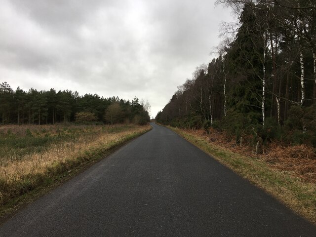
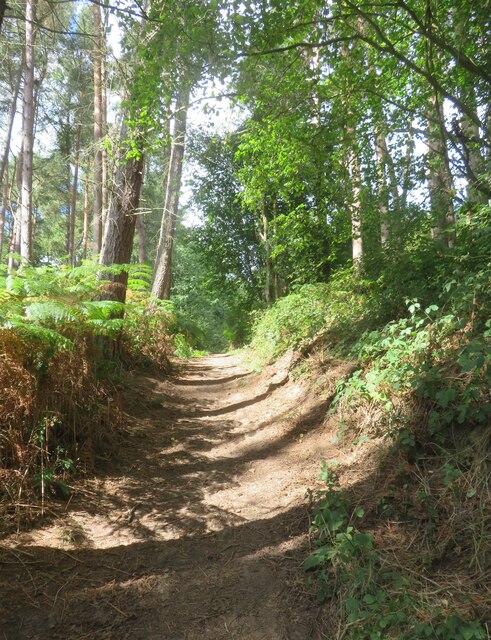
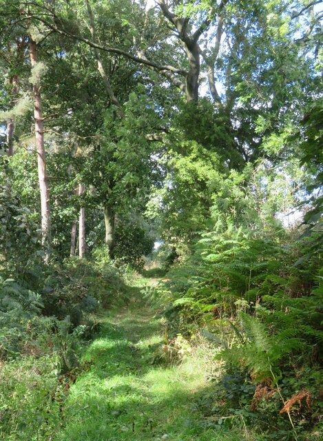
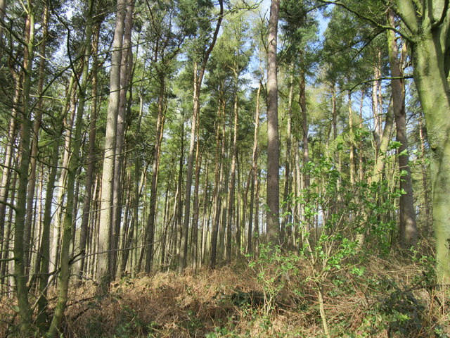
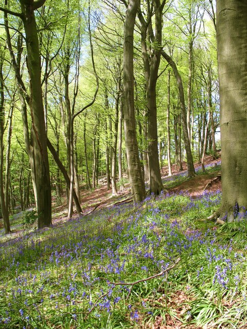
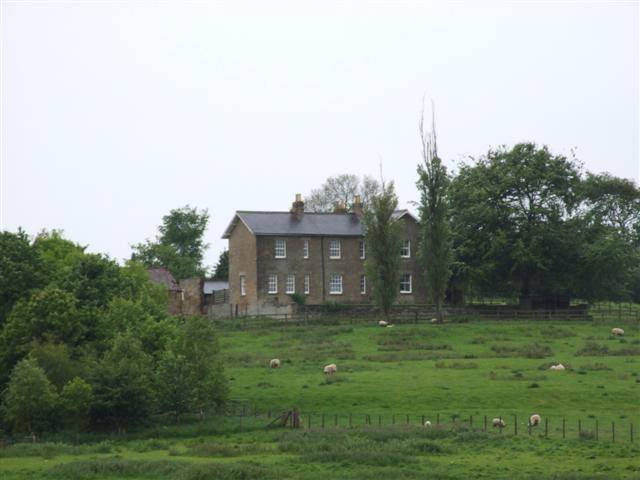
North Plantation, Yorkshire, also known as Wood or Forest, is a picturesque rural area located in the county of Yorkshire, England. It is renowned for its stunning natural beauty, consisting of vast woodlands and a rich ecosystem that supports a diverse range of flora and fauna.
The North Plantation is characterized by its dense forest cover, which is predominantly composed of deciduous trees such as oak, beech, and birch. These trees provide a vibrant display of colors during the autumn months, attracting numerous visitors who come to witness the breathtaking foliage.
The area is also home to a wide variety of wildlife, including deer, foxes, badgers, and various bird species. Birdwatchers can often spot rare and migratory birds in the forest, making it a popular destination for nature enthusiasts.
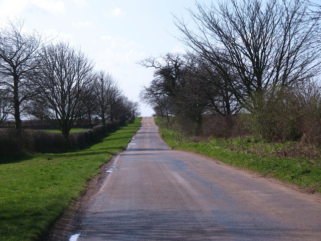
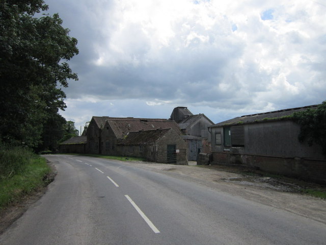
North Plantation offers numerous recreational activities for visitors to enjoy. There are well-maintained hiking and biking trails that wind through the woodlands, allowing people to explore the area's natural beauty on foot or by bike. Additionally, the forest is equipped with picnic areas and camping sites, providing the perfect opportunity for families and friends to spend quality time in the great outdoors.
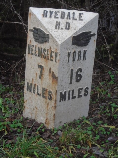
The North Plantation is also steeped in history, with ancient ruins and archaeological sites scattered throughout the area. These remnants of the past serve as a reminder of the region's rich cultural heritage and provide an intriguing glimpse into the lives of those who once inhabited the forest.
In conclusion, North Plantation, Yorkshire, is a captivating destination that offers a harmonious blend of natural beauty, recreational opportunities, and historical significance. Whether it's exploring the woodland trails, observing wildlife, or immersing oneself in the area's history, visitors to North Plantation are sure to be captivated by its charm and allure.
If you have any feedback on the listing, please let us know in the comments section below.
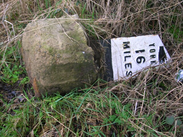
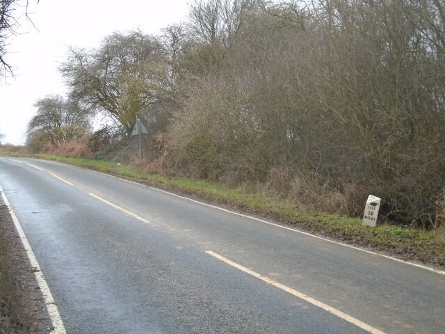
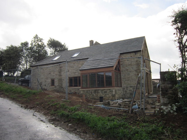
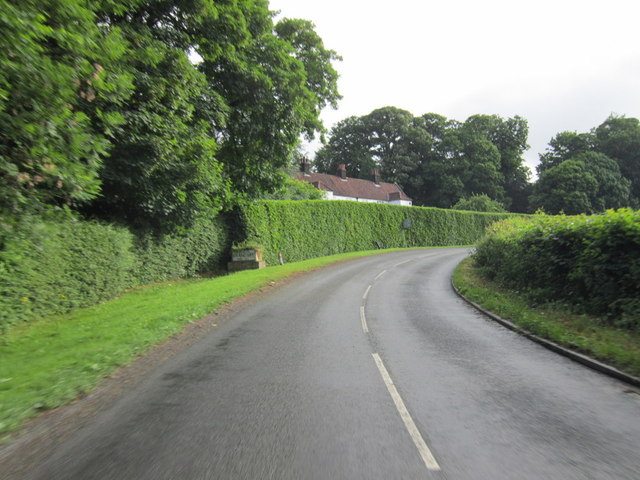
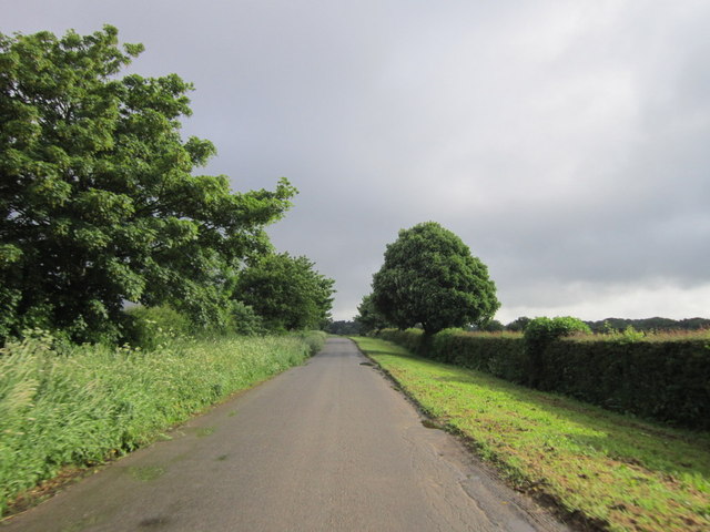
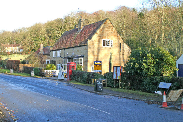
North Plantation Images
Images are sourced within 2km of 54.151653/-1.0812229 or Grid Reference SE6073. Thanks to Geograph Open Source API. All images are credited.


North Plantation is located at Grid Ref: SE6073 (Lat: 54.151653, Lng: -1.0812229)
Division: North Riding
Administrative County: North Yorkshire
District: Hambleton
Police Authority: North Yorkshire
What 3 Words
///samplers.chucks.rabble. Near Easingwold, North Yorkshire
Nearby Locations
Related Wikis

Brandsby-cum-Stearsby
Brandsby-cum-Stearsby is a civil parish in the Hambleton district of North Yorkshire, England, with a population of 234 (2001 census), increasing to 383...

Yearsley
Yearsley is a small village and civil parish in the district of Hambleton in North Yorkshire, England. The population of the civil parish was less than...
Brandsby
Brandsby is a village in North Yorkshire, England. The village is the main constituent of the Brandsby-cum-Stearsby Civil Parish in the District of Hambleton...
Grimstone, North Yorkshire
Grimstone or Grimston is a hamlet and civil parish in North Yorkshire, England. It lies beside the main B1363 road between York and Helmsley. Grimston...

St Martin's Ampleforth
St Martin's Ampleforth (SMA) was a private school and the preparatory school for Ampleforth College, which closed in July 2020. Until 2018 it was at Gilling...
Gilling Castle
Gilling Castle is a Grade I listed country house near Gilling East, North Yorkshire, England (grid reference SE611768). == History == The castle was originally...

Coulton, North Yorkshire
Coulton is a village and civil parish in the Ryedale district of North Yorkshire, England, it is about 6 miles (9.7 km) south of Helmsley. == History... ==

Gilling East
Gilling East is a village and civil parish in North Yorkshire, England, on the main B1363 road between York and Helmsley, 2 miles (3.2 km) south of Oswaldkirk...
Nearby Amenities
Located within 500m of 54.151653,-1.0812229Have you been to North Plantation?
Leave your review of North Plantation below (or comments, questions and feedback).